
Video Loading
Want more images or videos?
Request additional images or videos from the seller.

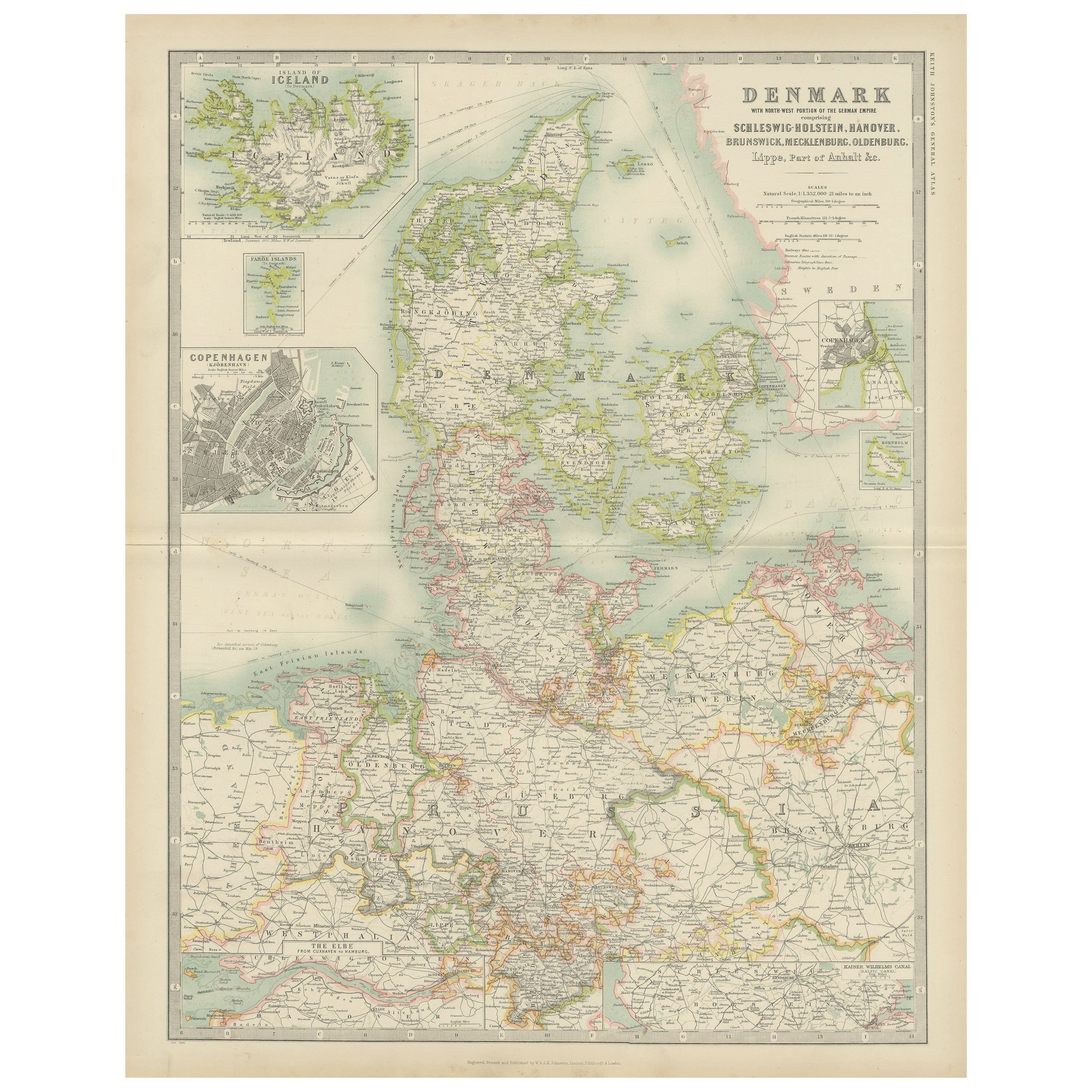
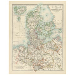
Denmark & German Empire – Antique Map by A.K. Johnston, 1882 Atlas Edition

$270.80
£204.65
€240VAT Included
CA$386.10
A$398.04
CHF 226.16
MX$5,038.45
NOK 2,589.88
SEK 2,713.22
DKK 1,830.03

About the Item

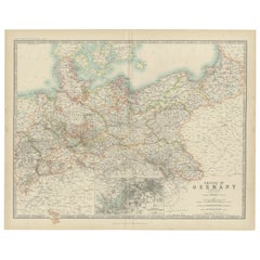
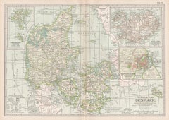
Denmark & German Empire – Antique Map by A.K. Johnston, 1882 Atlas Edition This detailed antique map titled Denmark with North-West portion of the German Empire comprising Schleswig-Holstein, Hanover, Brunswick, Mecklenburgh, Oldenburg, Anhalt, Lippe &c. offers a comprehensive view of Denmark and adjacent German territories as understood in the late 19th century. The map was published in 1882 by the renowned Scottish firm W. and A.K. Johnston for The Royal Atlas of Modern Geography, a landmark work reflecting the latest discoveries and political boundaries of the era. Drawn by Alexander Keith Johnston LLD, a leading geographer of his time, the map presents Denmark in fine detail, highlighting provinces, towns, railway lines, rivers, and topographical contours. Insets show the island of Iceland, a detailed plan of Copenhagen, and the Elbe River. The map reflects the geopolitical structure shortly after the Second Schleswig War (1864), in which Denmark lost Schleswig and Holstein to Prussia and Austria—making this a historically significant piece. The Johnston brothers’ work is celebrated for combining aesthetic clarity with scientific accuracy, and this map exemplifies that standard. With clean copperplate engraving and original hand-coloring to distinguish borders and regions, it would have been an indispensable reference for educational institutions, libraries, and informed households of the Victorian period. This piece is especially attractive to collectors interested in Denmark, Northern Germany, or 19th-century British atlas cartography. Condition report: Good condition overall with general age-related toning. Central horizontal fold line as issued, has split along fold. No significant tears or staining. Blank verso. Framing tips: A classic maple or walnut frame with a light ivory or grey mat works well to complement the subdued pastel tones. Consider UV-protective glass to maintain the color quality over time. Date: 1882 Overall size: 49.6 x 61.5 cm. Image size: 44.3 x 57.2 cm.
  • Dimensions:
    Height: 24.22 in (61.5 cm)Width: 19.53 in (49.6 cm)Depth: 0 in (0.01 mm)
  • Materials and Techniques:
  • Place of Origin:
  • Period:
  • Date of Manufacture:
    1882
  • Condition:
    Good condition overall with general age-related toning. Central horizontal fold line as issued, has split along fold. No significant tears or staining. Blank verso.
  • Seller Location:
    Langweer, NL
  • Reference Number:
    Seller: BG-11823-171stDibs: LU3054326159812

More From This Seller

View All
Antique Map of Denmark and German Empire Regions, 1903, Intricate and Colorful

Antique Map of Denmark and German Empire Regions, 1903, Intricate and Colorful

Located in Langweer, NL

Title: Antique Map of Denmark and German Empire Regions, 1903, Intricate and Colorful Description: This antique map, titled "Denmark with North West Portions of the German Empire," ...

Category

Early 20th Century Maps

Materials

Paper
Antique Map of Denmark by Johnston '1909'

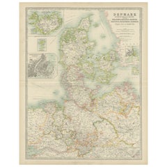
Antique Map of Denmark by Johnston '1909'

Located in Langweer, NL

Antique map titled 'Denmark'. Original antique map of Denmark. With inset maps of Iceland, Faroe Island, and Copenhagen. This map originates from the ‘Royal Atlas of Modern Geography...

Category

Early 20th Century Maps

Materials

Paper
Antique Map of The German Empire (East Sheet), 1882

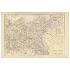
Antique Map of The German Empire (East Sheet), 1882

Located in Langweer, NL

Step into history with an authentic Antique Map of The German Empire (East Sheet) from the esteemed 'Comprehensive Atlas and Geography of the World,' meticulously crafted in 1882. Th...

Category

Antique 1880s Maps

Materials

Paper

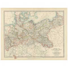
Antique Map of the German Empire, 1903, Northern Portion with Coastal and Inland

Antique Map of the German Empire, 1903, Northern Portion with Coastal and Inland

Located in Langweer, NL

Title: Antique Map of the German Empire, 1903, Northern Portion with Coastal and Inland Detail Description: This antique map, titled "Empire of Germany (Northern Portion)," was engr...

Category

Early 20th Century Maps

Materials

Paper
Denmark & Schleswig-Holstein Map with Copenhagen & Iceland Insets – 1865 Atlas

Denmark & Schleswig-Holstein Map with Copenhagen & Iceland Insets – 1865 Atlas

Located in Langweer, NL

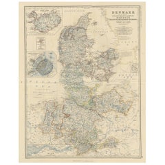
Denmark & Schleswig-Holstein Map with Copenhagen & Iceland Insets – 1865 Atlas This detailed antique map titled Denmark and the Duchies Schleswig, Holstein & Lauenburg; Hanover, Bru...

Category

Antique Mid-19th Century Maps

Materials

Paper

Antique Map of the German Empire by Johnston, '1909'

Antique Map of the German Empire by Johnston, '1909'

Located in Langweer, NL

Antique map titled 'Empire of Germany'. Original antique map of the German Empire. With inset maps of Berlin and Potsdam. This map originates from the ‘R...

Category

Early 20th Century Maps

Materials

Paper
You May Also Like

1853 Map of "Russia in Europe Including Poland" Ric.r016

1853 Map of "Russia in Europe Including Poland" Ric.r016

Located in Norton, MA

Description Russia in Europe incl. Poland by J Wyld c.1853 Hand coloured steel engraving Dimension: Paper: 25 cm W x 33 cm H ; Sight: 22 cm W x 28 cm H Condition: Good ...

Category

Antique 19th Century Unknown Maps

Materials

Paper

Denmark. Century Atlas antique vintage map

Denmark. Century Atlas antique vintage map

Located in Melbourne, Victoria

'The Century Atlas. Denmark' Original antique map, 1903. Inset maps of 'Faroe Islands', 'Iceland' and 'Copenhagen'. Central fold as issued. Map name and number printed on the reve...

Category

Early 20th Century Victorian More Prints

Materials

Lithograph

1832 Large Map "Russian & Poland" Ric. R0012

1832 Large Map "Russian & Poland" Ric. R0012

Located in Norton, MA

Large map 1832 "Russian & Poland" Ric.r0012 Russia & Poland, by J. Arrowsmith. London, pubd. 15 Feby. 1832 by J. Arrowsmith, 35 Essex Street, S...

Category

Antique 19th Century Unknown Maps

Materials

Paper