English Maps

245 Results
to
8
243
2
228
17

Use search to find more

23
18
9
2
2
1
1
57
116
70
2
60
2
1
44
13
1
1
233
12
6
5
5

Use search to find more

6
4
2
2
1

Use search to find more

Place of Origin: English
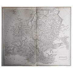
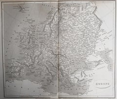
Original Antique Map of Europe, Arrowsmith, 1820

Original Antique Map of Europe, Arrowsmith, 1820

Located in St Annes, Lancashire

Great map of Europe Drawn under the direction of Arrowsmith. Copper-plate engraving. Published by Longman, Hurst, Rees, Orme and Brown, 1820 ...

Category

1820s Antique English Maps

Materials

Paper
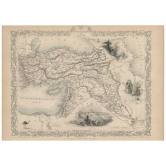
Turkey in Asia – Antique Ottoman Empire Map by John Tallis, ca. 1851

Turkey in Asia – Antique Ottoman Empire Map by John Tallis, ca. 1851

Located in Langweer, NL

Turkey in Asia – Antique Ottoman Empire Map by John Tallis, ca. 1851 This decorative 19th-century map titled "Turkey in Asia" was published by John Tallis & Company around 1851. Eng...

Category

Mid-19th Century Antique English Maps

Materials

Paper

Large Antique Map of India – Post Roads and Dak Stations by James Wyld, c.1855

Large Antique Map of India – Post Roads and Dak Stations by James Wyld, c.1855

Located in Langweer, NL

Antique Map of India – Post Roads and Dak Stations by James Wyld, c.1855 This impressive antique map titled "India Shewing the Post Roads and Dak Stations" was engraved and publishe...

Category

Mid-19th Century Antique English Maps

Materials

Paper

Large Original Antique Map of Cyprus. 1894

Large Original Antique Map of Cyprus. 1894

Located in St Annes, Lancashire

Superb Antique map of Cyprus Published Edward Stanford, Charing Cross, London 1894 Original colour Good condition Unframed. Free shipping

Category

1890s Antique English Maps

Materials

Paper
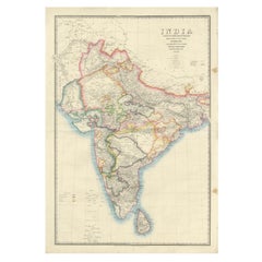
Original Antique Map of Iran By J.Dower. Unframed, Circa 1835

Original Antique Map of Iran By J.Dower. Unframed, Circa 1835

Located in St Annes, Lancashire

Great map of Iran Drawn and engraved by J.Dower Published by Orr & Smith. C.1835 Unframed. Free shipping

Category

1830s Antique English Maps

Materials

Paper
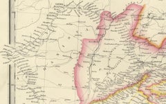
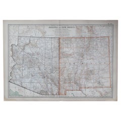
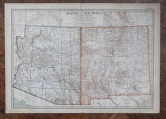
Original Antique Map of the American State of Arizona & New Mexico, 1903

Original Antique Map of the American State of Arizona & New Mexico, 1903

Located in St Annes, Lancashire

Antique map of Arizona and New Mexico Published By A & C Black. 1903 Original colour Good condition Unframed. Free shipping

Category

Early 1900s Antique English Maps

Materials

Paper
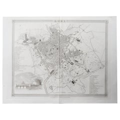
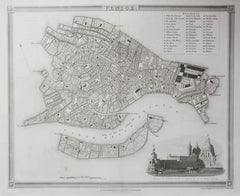
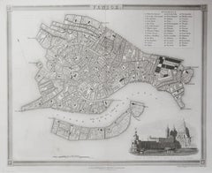
Original Antique Map or City Plan of Venice, Italy. Circa 1835

Original Antique Map or City Plan of Venice, Italy. Circa 1835

Located in St Annes, Lancashire

Nice map of Venice Drawn and engraved by J.Dower Published by Orr & Smith. C.1835 Unframed. Free shipping

Category

1830s Antique English Maps

Materials

Paper
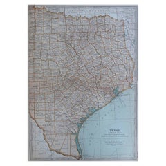
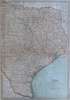
Original Antique Map of the American State of Texas ( Eastern Part ), 1903

Original Antique Map of the American State of Texas ( Eastern Part ), 1903

Located in St Annes, Lancashire

Antique map of Texas ( Eastern part ) Published By A & C Black. 1903 Original colour Good condition Unframed. Free shipping

Category

Early 1900s Antique English Maps

Materials

Paper
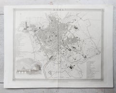
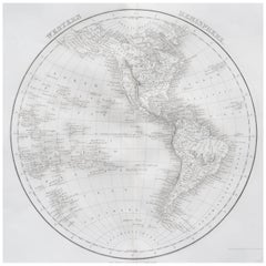
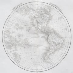
Original Antique Map of The Western Hemisphere by Dower, circa 1835

Original Antique Map of The Western Hemisphere by Dower, circa 1835

Located in St Annes, Lancashire

Nice map of the Western Hemisphere Drawn and engraved by J.Dower Published by Orr & Smith. C.1835 Unframed. Free shipping

Category

1830s Antique English Maps

Materials

Paper

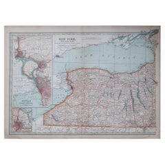
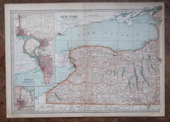
Original Antique Map of the American State of New York ( Western Part ) 1903

Original Antique Map of the American State of New York ( Western Part ) 1903

Located in St Annes, Lancashire

Antique map of New York ( Western Part ) Published By A & C Black. 1903 Original colour Good condition Unframed. Free shipping

Category

Early 1900s Antique English Maps

Materials

Paper
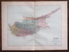
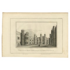
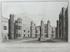
Cowdray Court from the Lodging House – Antique Engraving of Sussex Estate, 1796

Cowdray Court from the Lodging House – Antique Engraving of Sussex Estate, 1796

Located in Langweer, NL

Cowdray Court from the Lodging House – Antique Engraving of Sussex Estate, 1796 This finely executed antique engraving presents a view of the inner court of Cowdray House, the histo...

Category

18th Century Antique English Maps

Materials

Paper
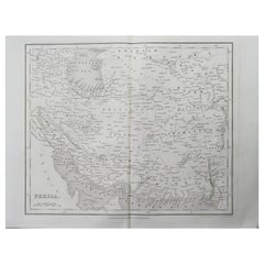
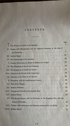
Antique Biblical Atlas with 17 Hand-Colored Maps, Religious Tract Society c.1850

Antique Biblical Atlas with 17 Hand-Colored Maps, Religious Tract Society c.1850

Located in Langweer, NL

Antique Biblical Atlas with 17 Hand-Colored Maps, Religious Tract Society c.1850 This rare Biblical Atlas was published in London by the Religious Tract Society, founded in 1799, an...

Category

Mid-19th Century Antique English Maps

Materials

Paper
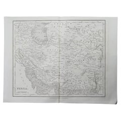
Original Antique Map of Russia By J.Dower. Unframed, Circa 1835

Original Antique Map of Russia By J.Dower. Unframed, Circa 1835

Located in St Annes, Lancashire

Great map of Russia Drawn and engraved by J.Dower Published by Orr & Smith. C.1835 Unframed. Free shipping

Category

1830s Antique English Maps

Materials

Paper
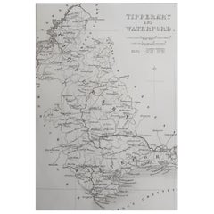
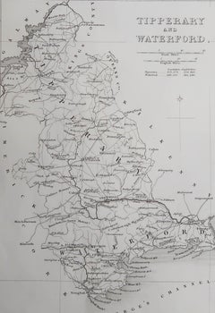
Original Antique Map of Ireland- Tipperary and Waterford. C.1840

Original Antique Map of Ireland- Tipperary and Waterford. C.1840

Located in St Annes, Lancashire

Great map of Tipperary and Waterford Steel engraving Drawn under the direction of A.Adlard Published by How and Parsons, C.1840 Unframed.

Category

1840s Antique English Maps

Materials

Paper
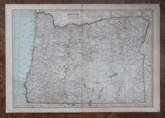
Original Antique Map of the American State of Oregon, 1903

Original Antique Map of the American State of Oregon, 1903

Located in St Annes, Lancashire

Antique map of Oregon Published By A & C Black. 1903 Original colour Good condition Unframed. Free shipping

Category

Early 1900s Antique English Maps

Materials

Paper
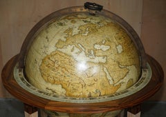
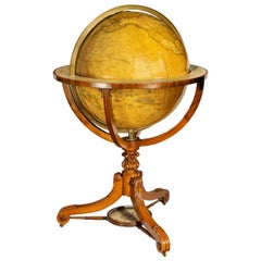
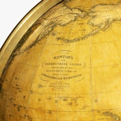
Large and Extremely Rare Terrestrial Globe by Newton

Large and Extremely Rare Terrestrial Globe by Newton

By Newton Globes - Planer & Newton

Located in Lymington, Hampshire

A large and extremely rare 24-inch terrestrial globe by Newton Our most magnificent and rare globes were a pair of 24-inch Newton globes. These too were updated in 1852 (terre...

Category

Mid-19th Century Antique English Maps

Materials

Mahogany

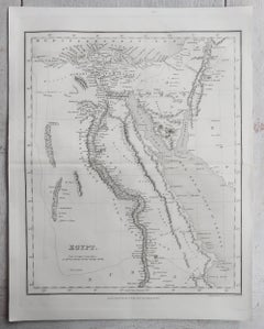
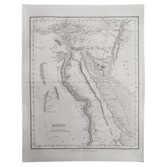
Original Antique Map of Egypt By J.Dower. Unframed, Circa 1835

Original Antique Map of Egypt By J.Dower. Unframed, Circa 1835

Located in St Annes, Lancashire

Great map of Egypt Drawn and engraved by J.Dower Published by Orr & Smith. C.1835 Unframed. Free shipping

Category

1830s Antique English Maps

Materials

Paper
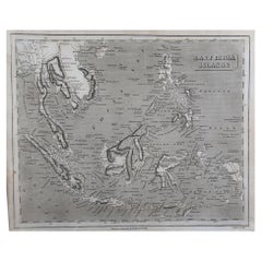
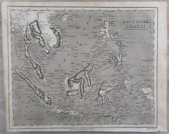
Original Antique Map of South East Asia by Thomas Clerk, 1817

Original Antique Map of South East Asia by Thomas Clerk, 1817

Located in St Annes, Lancashire

Great map of South East Asia Copper-plate engraving Drawn and engraved by Thomas Clerk, Edinburgh. Published by Mackenzie And Dent, 1817 Unframed.

Category

1810s Antique English Maps

Materials

Paper
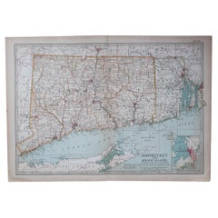
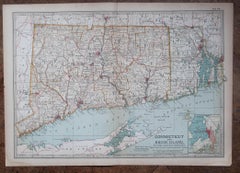
Original Antique Map of the American State of Connecticut & Rhode Island, 1903

Original Antique Map of the American State of Connecticut & Rhode Island, 1903

Located in St Annes, Lancashire

Antique map of Connecticut and Rhode Island Published By A & C Black. 1903 Original colour Good condition Unframed. Free shipping

Category

Early 1900s Antique English Maps

Materials

Paper
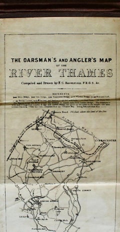
The Oarsman's and Angler's Map of the River Thames, Published by C. Smith & Son

The Oarsman's and Angler's Map of the River Thames, Published by C. Smith & Son

Located in Colorado Springs, CO

Presented is a long folding map of the Thames River and its banks, with accompanying notes regarding locks, fishing, tide flows, houses, and churches.  The map starts at the Thames H...

Category

Late 19th Century Late Victorian Antique English Maps

Materials

Fabric, Linen, Paper

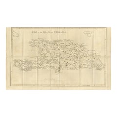
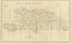
Saint Domingue Map 1793 – Colonial Haiti and Dominican Republic Plan

Saint Domingue Map 1793 – Colonial Haiti and Dominican Republic Plan

Located in Langweer, NL

1793 Map of Saint Domingue (Haiti and DR) – Colonial Island Plan This antique map is titled “A Map of the Island of St. Domingo” and dates from circa 1793. It depicts the entire isl...

Category

Late 18th Century Antique English Maps

Materials

Paper
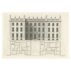
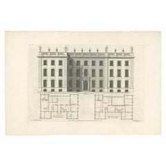
Antique Print of the Bold Hall in Warwickshire in England, 1714

Antique Print of the Bold Hall in Warwickshire in England, 1714

Located in Langweer, NL

Antique print titled 'The Elevation of Nen Bold-Hall in Warwickshire (..)'. View of the Bold Hall in Warwickshire, England. This print originates from 'Vitruvius Britannicus' by Co...

Category

18th Century Antique English Maps

Materials

Paper
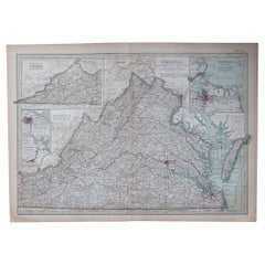
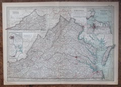
Original Antique Map of the American State of Virginia, 1903

Original Antique Map of the American State of Virginia, 1903

Located in St Annes, Lancashire

Antique map of Virginia Published By A & C Black. 1903 Original colour Good condition Unframed. Free shipping

Category

Early 1900s Antique English Maps

Materials

Paper
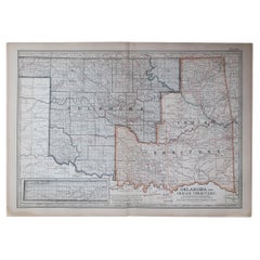
Original Antique Map of the American State of Oklahoma, 1903

Original Antique Map of the American State of Oklahoma, 1903

Located in St Annes, Lancashire

Antique map of Oklahoma Published By A & C Black. 1903 Original colour Good condition Unframed. Free shipping

Category

Early 1900s Antique English Maps

Materials

Paper
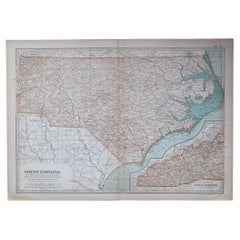
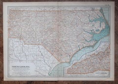
Original Antique Map of the American State of North Carolina, 1903

Original Antique Map of the American State of North Carolina, 1903

Located in St Annes, Lancashire

Antique map of North Carolina Published By A & C Black. 1903 Original colour Good condition Unframed. Free shipping

Category

Early 1900s Antique English Maps

Materials

Paper
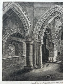
Inside View of Magdalen Chapel – Engraving of Medieval Gothic Interior, 1790

Inside View of Magdalen Chapel – Engraving of Medieval Gothic Interior, 1790

Located in Langweer, NL

Inside View of Magdalen Chapel – Engraving of Medieval Gothic Interior, 1790 This atmospheric antique engraving captures the interior of the Magdalen Chapel near Winchester, as view...

Category

18th Century Antique English Maps

Materials

Paper
Large Original Antique Map of Morocco. Edward Weller, 1861

Large Original Antique Map of Morocco. Edward Weller, 1861

Located in St Annes, Lancashire

Great map of Morocco Lithograph engraving by Edward Weller Original colour Published, 1861 Unframed Good condition.    

Category

1860s Victorian Antique English Maps

Materials

Paper
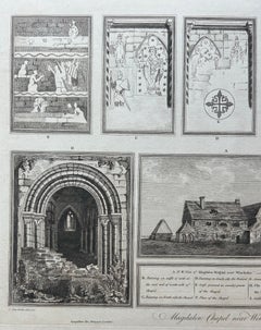
Magdalen Chapel near Winchester – Engraving of Medieval Hospital Site, 1790

Magdalen Chapel near Winchester – Engraving of Medieval Hospital Site, 1790

Located in Langweer, NL

Magdalen Chapel near Winchester – Antique Engraving of Medieval Hospital Site, 1790 This detailed antique engraving presents a series of architectural views and plans of the Magdale...

Category

18th Century Antique English Maps

Materials

Paper
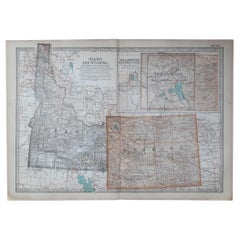
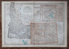
Original Antique Map of the American State of Idaho & Wyoming, 1903

Original Antique Map of the American State of Idaho & Wyoming, 1903

Located in St Annes, Lancashire

Antique map of Idaho and Wyoming Published By A & C Black. 1903 Original colour Good condition Unframed. Free shipping

Category

Early 1900s Antique English Maps

Materials

Paper
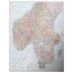
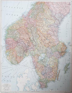
Large Original Vintage Map of Sweden and Norway circa 1920

Large Original Vintage Map of Sweden and Norway circa 1920

Located in St Annes, Lancashire

Great map of Sweden and Norway Original color. Good condition Published by Alexander Gross Unframed.

Category

1920s Victorian Vintage English Maps

Materials

Paper
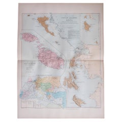
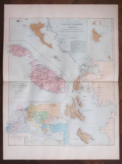
Large Original Antique Map of The Greek Islands. 1894

Large Original Antique Map of The Greek Islands. 1894

Located in St Annes, Lancashire

Superb Antique map of The Greek Islands Published Edward Stanford, Charing Cross, London 1894 Original colour Good condition Unframed. Free shipping

Category

1890s Antique English Maps

Materials

Paper
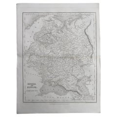
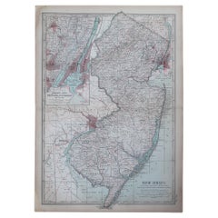
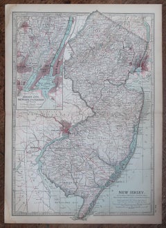
Original Antique Map of the American State of New Jersey, 1903

Original Antique Map of the American State of New Jersey, 1903

Located in St Annes, Lancashire

Antique map of New Jersey Published By A & C Black. 1903 Original colour Good condition Unframed. Free shipping

Category

Early 1900s Antique English Maps

Materials

Paper
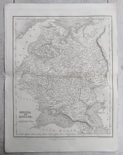
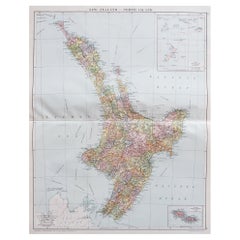
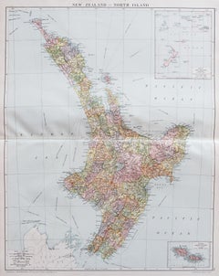
Large Original Vintage Map of New Zealand, North Island, circa 1920

Large Original Vintage Map of New Zealand, North Island, circa 1920

Located in St Annes, Lancashire

Great map of North Island, New Zealand Original color. Good condition / minor foxing to right edge Published by Alexander Gross Unframed.

Category

1920s Edwardian Vintage English Maps

Materials

Paper
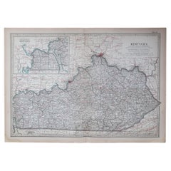
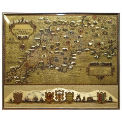
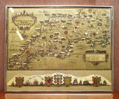
Gold Leaf Foil Pictorial Plan Map of the West Country of England Antique Style

Gold Leaf Foil Pictorial Plan Map of the West Country of England Antique Style

Located in West Sussex, Pulborough

We are delighted to offer for sale this lovely Antique style pictorial plan map of the West Country of England etched in gold leaf foil This is a very interesting and decorative p...

Category

20th Century Adam Style English Maps

Materials

Gold Leaf

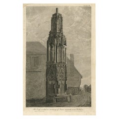
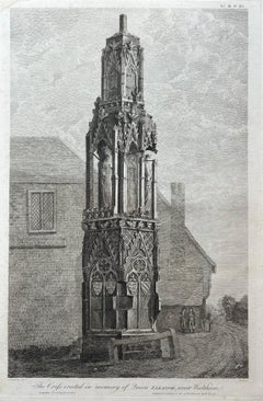
Queen Eleanor Memorial Cross – Antique Engraving of Waltham Cross, c.1791

Queen Eleanor Memorial Cross – Antique Engraving of Waltham Cross, c.1791

Located in Langweer, NL

Queen Eleanor Memorial Cross – Antique Engraving of Waltham Cross, c.1791 This finely executed antique engraving depicts the Eleanor Cross at Waltham, one of the twelve monumental c...

Category

18th Century Antique English Maps

Materials

Paper
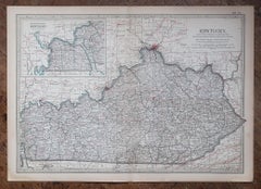
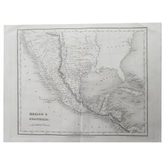
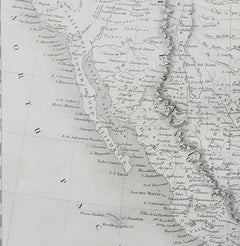
Original Antique Map of Mexico By J.Dower. Unframed, Circa 1835

Original Antique Map of Mexico By J.Dower. Unframed, Circa 1835

Located in St Annes, Lancashire

Great map of Mexico Drawn and engraved by J.Dower Published by Orr & Smith. C.1835 Unframed. Creases to top corners Free shipping

Category

1830s Antique English Maps

Materials

Paper
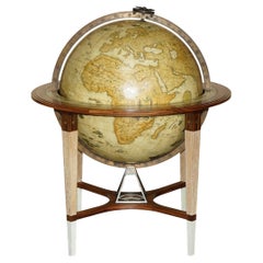
ONE OF A KIND CUSTOM MADE GOSLING LONDON 2011 HUGE FLOOR STANDiNG WORLD GLOBE

ONE OF A KIND CUSTOM MADE GOSLING LONDON 2011 HUGE FLOOR STANDiNG WORLD GLOBE

By Gosling and Son

Located in West Sussex, Pulborough

Royal House Antiques Royal House Antiques is delighted to offer for sale this absolutely stunning one of a kind, custom made 2011, extra large, Gosling London floor standing globe ...

Category

20th Century Victorian English Maps

Materials

Satinwood, Walnut

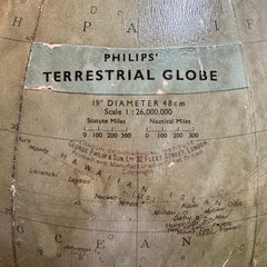
Large 1950's Philips' Hanging Globe

Large 1950's Philips' Hanging Globe

By Philips

Located in Hastings, GB

A superb decorators' interior design piece, this very large hanging globe made by the Philips' company in the 1950's hangs from a brass chain, the ...

Category

1950s Mid-Century Modern Vintage English Maps

Materials

Brass

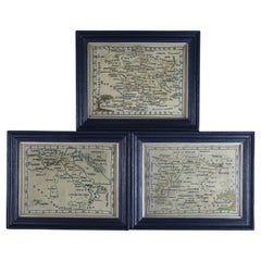
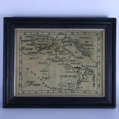
Rare Set of 3 Map Samplers by A Charles. Italy, Spain & France

Rare Set of 3 Map Samplers by A Charles. Italy, Spain & France

Located in Chelmsford, Essex

Set of 3 Map Samplers by A Charles. All depict countries, cities, seas and landmarks of the respective countries. The first entitled, 'SPAIN and PORTUGAL'. The second, 'MAP OF FRANCE...

Category

Early 19th Century Antique English Maps

Materials

Linen

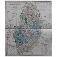
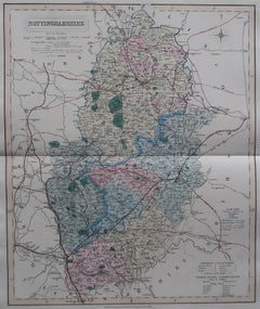
Original Antique English County Map, Nottinghamshire, J & C Walker, 1851

Original Antique English County Map, Nottinghamshire, J & C Walker, 1851

Located in St Annes, Lancashire

Great map of Nottinghamshire Original colour By J & C Walker Published by Longman, Rees, Orme, Brown & Co. 1851 Unframed.

Category

1850s Other Antique English Maps

Materials

Paper
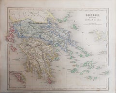
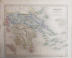
Original Antique Map of Greece, Grattan and Gilbert, 1843

Original Antique Map of Greece, Grattan and Gilbert, 1843

Located in St Annes, Lancashire

Great map of Greece Drawn and engraved by J.Archer Published by Grattan and Gilbert. 1843 Original colour Unframed. Free shipping

Category

1840s Antique English Maps

Materials

Paper
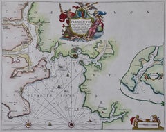
Plymouth, England: A Hand-Colored 17th Century Sea Chart by Captain Collins

Plymouth, England: A Hand-Colored 17th Century Sea Chart by Captain Collins

By Captain Greenvile Collins

Located in Alamo, CA

This hand-colored sea chart of the area around Plymouth, England from "Great Britain's Coasting Pilot. Being a New and Exact Survey of the Sea-Coast of England", first published in 1...

Category

Late 17th Century Antique English Maps

Materials

Paper
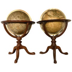
Pair of 19th Century English J & W Cary Celestial/Terrestrial Table Model Globes

Pair of 19th Century English J & W Cary Celestial/Terrestrial Table Model Globes

By John & William Cary

Located in Milford, NH

A fine assembled pair of 12-inch English table model globes on stands manufactured by J & W. Cary, the left globe with cartouche labeled “The New Celestial Globe, on which are correc...

Category

Early 19th Century Antique English Maps

Materials

Brass

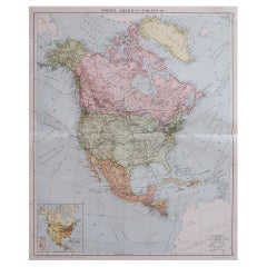
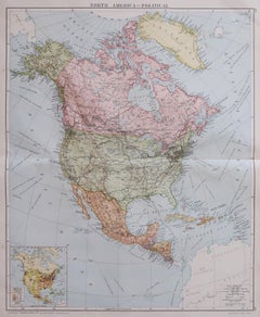
Large Original Vintage Map of North America, circa 1920

Large Original Vintage Map of North America, circa 1920

Located in St Annes, Lancashire

Great map of North America Original color. Good condition Published by Alexander Gross Unframed.  

Category

1920s Edwardian Vintage English Maps

Materials

Paper

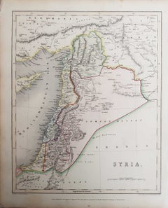
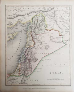
Original Antique Map of The Levant / Middle East, Grattan and Gilbert, 1843

Original Antique Map of The Levant / Middle East, Grattan and Gilbert, 1843

Located in St Annes, Lancashire

Great map of The Levant. Titled " Syria " Drawn and engraved by J.Archer Published by Grattan and Gilbert. 1843 Original colour Unframed. Free shipping

Category

1840s Antique English Maps

Materials

Paper
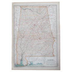
Original Antique Map of the American State of Alabama, 1903

Original Antique Map of the American State of Alabama, 1903

Located in St Annes, Lancashire

Antique map of Alabama Published By A & C Black. 1903 Original colour Good condition Unframed. Free shipping

Category

Early 1900s Antique English Maps

Materials

Paper
Large Original Vintage Map of Iceland, circa 1920

Large Original Vintage Map of Iceland, circa 1920

Located in St Annes, Lancashire

Great map of Iceland Original color. Good condition Published by Alexander Gross Unframed.
Category

1920s Victorian Vintage English Maps

Materials

Paper
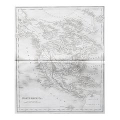
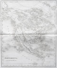
Original Antique Map of North America by Dower, circa 1835

Original Antique Map of North America by Dower, circa 1835

Located in St Annes, Lancashire

Nice map of North America Drawn and engraved by J.Dower Published by Orr & Smith. C.1835 Unframed. Free shipping

Category

1830s Antique English Maps

Materials

Paper
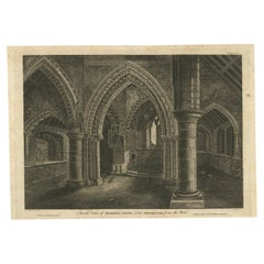
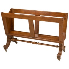
William IV Folio Stand, High Quality Work, circa 1840

William IV Folio Stand, High Quality Work, circa 1840

Located in Saint-Ouen, FR

A William IV folio stand, circa 1840 High quality work. English.   

Category

1840s Antique English Maps

Materials

Wood

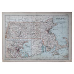
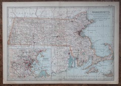
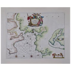
Original Antique Map of the American State of Massachusetts, 1903

Original Antique Map of the American State of Massachusetts, 1903

Located in St Annes, Lancashire

Antique map of Vermont and New Hampshire Published By A & C Black. 1903 Original colour Good condition Unframed. Free shipping
Category

Early 1900s Antique English Maps

Materials

Paper