Antique Nautical Maps

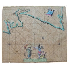
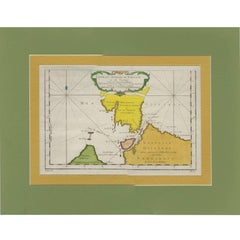
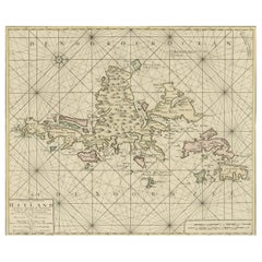
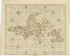
Shetland Islands Sea Chart – Antique Nautical Map by Ottens Brother c.1745

Shetland Islands Sea Chart – Antique Nautical Map by Ottens Brother c.1745

Located in Langweer, NL

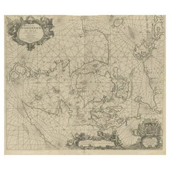
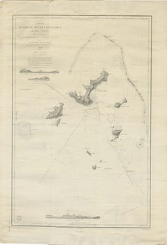
Shetland Islands Sea Chart – Antique Nautical Map by Ottens Brothers, c.1740s This striking antique nautical chart titled Nieuwe Paskaard van Hitland… presents the Shetland Islands ...

Category

1740s Dutch Antique Nautical Maps

Materials

Paper
Old Nautical Map of Corsica

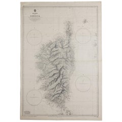
Old Nautical Map of Corsica

Located in Alessandria, Piemonte

Old map of Corsica isle, surveyed by Captain Hell, of the French Royal Navy in 1824, engraved and published on 1874, with additions and corrections to 1967-68-69 projection - Mercato...

Category

Early 19th Century English Other Antique Nautical Maps

Materials

Paper
Antique Nautical Portolano of Isle De Poro by Antoine Roux, France, 1844

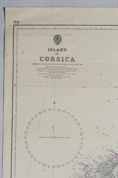
Antique Nautical Portolano of Isle De Poro by Antoine Roux, France, 1844

By Antoine Roux

Located in Milan, IT

Antique portolano, nautical map of Isle De Poro engraved on a copper plate by Antoine Roux, Marseille France 1844, from his work Recueil des principaux plans des ports et de Rades de...

Category

1840s French Antique Nautical Maps

Materials

Paper
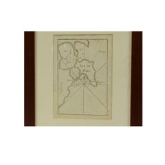
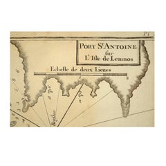
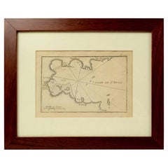
Antique Nautical Portolano of Port St. Antoine by Antoine Roux, France, 1844

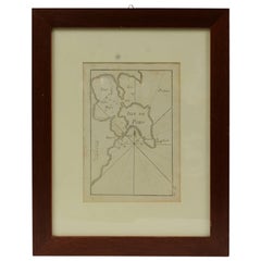
Antique Nautical Portolano of Port St. Antoine by Antoine Roux, France, 1844

By Antoine Roux

Located in Milan, IT

Antique portolano, nautical map of Port St. Antoine engraved on a copper plate by Antoine Roux, Marseille, France, 1844, from his work Recueil des principaux plans des ports et de Ra...

Category

1840s French Antique Nautical Maps

Materials

Paper
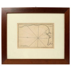
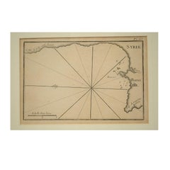
1844 French Antique Nautical print Engraved  Portolano of Syrie by Antoine Roux

1844 French Antique Nautical print Engraved Portolano of Syrie by Antoine Roux

By Antoine Roux

Located in Milan, IT

Antique portolano, nautical map of Syrie engraved on a copper plate by Antoine Roux, Marseille France 1844, from his work Recueil des principaux plans des ports et de Rades de la Mer...

Category

1840s French Antique Nautical Maps

Materials

Paper

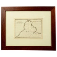
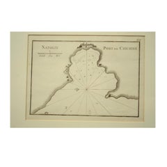
1844 French Nautical Portolano of Port De Chichimé Natolie by Antoine Roux

1844 French Nautical Portolano of Port De Chichimé Natolie by Antoine Roux

By Antoine Roux

Located in Milan, IT

Antique portolano, nautical map of Port De Chichimé Natolie engraved on a copper plate by Antoine Roux, Marseille France 1844, from his work Recueil des principaux plans des ports et...

Category

1840s French Antique Nautical Maps

Materials

Paper
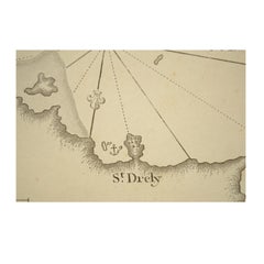
1844 French Antique Nautical Portolano of Golfe De St. Drely by Antoine Roux

1844 French Antique Nautical Portolano of Golfe De St. Drely by Antoine Roux

By Antoine Roux

Located in Milan, IT

Antique portolano, nautical map of Golfe De St. Drely engraved on a copper plate by Antoine Roux, Marseille France 1844, from his work Recueil des principaux plans des ports et de Ra...

Category

1840s French Antique Nautical Maps

Materials

Paper
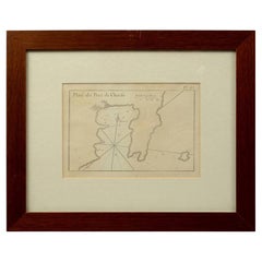
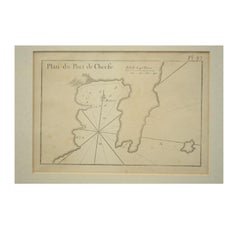
1844 French Antique Nautical Portolan of Plan du Port de Cherfe by Antoine Roux

1844 French Antique Nautical Portolan of Plan du Port de Cherfe by Antoine Roux

By Antoine Roux

Located in Milan, IT

Antique portolano, nautical map of Plan du Port de Cherfe engraved on a copper plate by Antoine Roux, Marseille France 1844, from his work Recueil des principaux plans des ports et d...

Category

1840s French Antique Nautical Maps

Materials

Paper
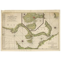
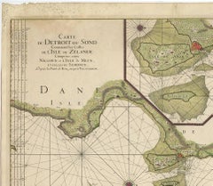
Antique Map: Carte du Détroit du Sond with Copenhagen Inset, 1693

Antique Map: Carte du Détroit du Sond with Copenhagen Inset, 1693

Located in Langweer, NL

Keywords: antique map Øresund Strait, Jaillot/Mortier sea chart, Zealand and Scania map, 17th-century nautical map, Copenhagen inset map, La Neptune François map, maritime cartograph...

Category

Late 17th Century Antique Nautical Maps

Materials

Paper
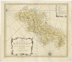
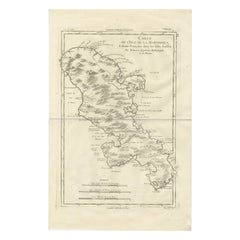
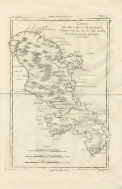
Antique Map Martinique Caribbean Island Chart, Rigobert Bonne French Map, c.1780

Antique Map Martinique Caribbean Island Chart, Rigobert Bonne French Map, c.1780

Located in Langweer, NL

Technique: Copperplate engraving Maker: Rigobert Bonne, France, circa 1780 Keyword block: Martinique antique map, Rigobert Bonne map, French Antilles map, Caribbean colonial map, Fo...

Category

Late 18th Century French Antique Nautical Maps

Materials

Paper
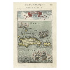
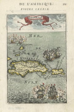
Antique 1683 Map of Hispaniola and Puerto Rico in the Caribbean by Mallet

Antique 1683 Map of Hispaniola and Puerto Rico in the Caribbean by Mallet

Located in Langweer, NL

Keywords: - 17th-century map - Mallet map 1683 - Hispaniola map - Puerto Rico map - Antique Caribbean map - Historical map of the Caribbean - Description de l'Univers - Mallet cartog...

Category

1830s Antique Nautical Maps

Materials

Paper
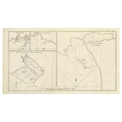
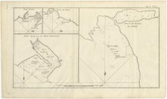
Antique Map of Cordes Bay, Port Famine & Fortescue Bay – Patagonia, 1774

Antique Map of Cordes Bay, Port Famine & Fortescue Bay – Patagonia, 1774

Located in Langweer, NL

Antique Map of Cordes Bay, Port Famine & Fortescue Bay – Patagonia, 1774 Antique engraved nautical map depicting several key coastal locations in southern Patagonia, presented as fo...

Category

Late 18th Century British Antique Nautical Maps

Materials

Paper
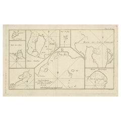
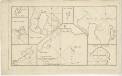
Antique Map of Cape Providence & St. David’s Cove – Strait of Magellan, 1774

Antique Map of Cape Providence & St. David’s Cove – Strait of Magellan, 1774

Located in Langweer, NL

Antique Map of Cape Providence & St. David’s Cove – Strait of Magellan, 1774 Antique engraved nautical map depicting a series of detailed coastal charts along the shores of southern...

Category

Late 18th Century Antique Nautical Maps

Materials

Paper
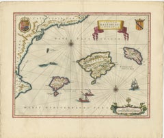
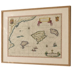
Antique Blaeu Map Mallorca Ibiza Balearic Islands, Mediterranean, 1642

Antique Blaeu Map Mallorca Ibiza Balearic Islands, Mediterranean, 1642

Located in Langweer, NL

Blaeu, Amsterdam, c.1642 Keywords: Balearic Islands map, Mallorca map, Ibiza map, Menorca map, antique Mallorca map, antique Ibiza map, Blaeu Balearic map, Mediterranean islands map...

Category

Mid-17th Century Dutch Antique Nautical Maps

Materials

Paper
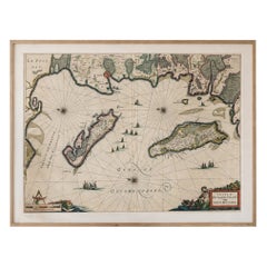
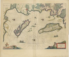
Blaeu Map of Île de Ré & Oléron, La Rochelle Coast France, c.1642

Blaeu Map of Île de Ré & Oléron, La Rochelle Coast France, c.1642

Located in Langweer, NL

Keywords: Isle de Ré map, Oléron map, La Rochelle map, Atlantic coast France map, Blaeu France map, 17th century French map, nautical map France, maritime chart France, Dutch Golden ...

Category

Mid-17th Century Dutch Antique Nautical Maps

Materials

Paper
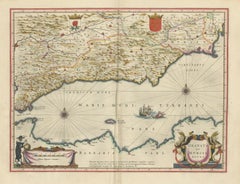
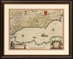
Blaeu Map of Granada & Murcia Spain, Andalusia Mediterranean Coast, 1642

Blaeu Map of Granada & Murcia Spain, Andalusia Mediterranean Coast, 1642

Located in Langweer, NL

Technique: Copperplate engraving with original hand coloring Maker: Willem Janszoon Blaeu and Joan Blaeu, Amsterdam, circa 1642 Keywords: Granada, Murcia, Andalusia, Andalucia, Spa...

Category

Mid-17th Century Dutch Antique Nautical Maps

Materials

Paper
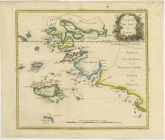
Antique Map of Raja Ampat and New Guinea, Bellin, Papuan Islands c.1749

Antique Map of Raja Ampat and New Guinea, Bellin, Papuan Islands c.1749

Located in Langweer, NL

Technique: Copper engraving with original hand coloring Maker: Jacques-Nicolas Bellin, Paris, circa 1748–1749 Keywords: Raja Ampat map, Papua New Guinea antique map, Bellin map Indo...

Category

Mid-18th Century French Antique Nautical Maps

Materials

Paper
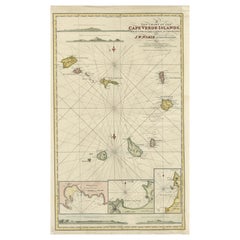
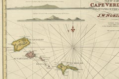
Nautical Chart of Cape Verde Islands by J.W. Norie, 1824 Coastal Map

Nautical Chart of Cape Verde Islands by J.W. Norie, 1824 Coastal Map

Located in Langweer, NL

Nautical Chart of Cape Verde Islands by J.W. Norie, 1824 Coastal Map This beautifully engraved nautical chart, titled “A New Chart of the Cape Verde Islands,” was drawn by J.W.

Category

Early 19th Century English Antique Nautical Maps

Materials

Paper
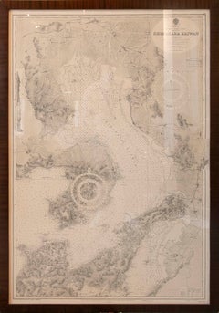
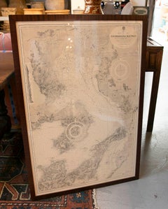
1930s Framed Antique Japanese Nautical Chart Shimabara Kaiwan

1930s Framed Antique Japanese Nautical Chart Shimabara Kaiwan

Located in Marbella, ES

A stunning antique nautical chart of Shimabara Kaiwan Bay, on the west coast of Kyushu, Japan, based on official Japanese surveys conducted between 1885 and 1903, with corrections up...

Category

Early 20th Century Japanese Antique Nautical Maps

Materials

Paper
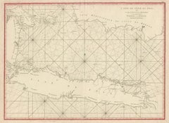
Antique Sea Chart Java Indonesia – Mannevillette Neptune Oriental 1775

Antique Sea Chart Java Indonesia – Mannevillette Neptune Oriental 1775

Located in Langweer, NL

Framing tip: This sea chart frames beautifully with a wide ivory mat and a dark walnut or black frame, allowing the intricate network of navigational lines to stand out while preserv...

Category

Late 18th Century Antique Nautical Maps

Materials

Paper
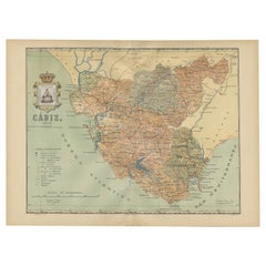
Cádiz 1901: Nautical Crossroads of the Atlantic and Mediterranean

Cádiz 1901: Nautical Crossroads of the Atlantic and Mediterranean

Located in Langweer, NL

The map illustrates the province of Cádiz, located in the autonomous community of Andalusia, Spain, from the year 1901. It displays various geographic and man-made features: The map...

Category

Early 1900s Spanish Antique Nautical Maps

Materials

Paper
Johannes van Keulen Hand-Colored Nautical Chart of Portugal, circa 1690

Johannes van Keulen Hand-Colored Nautical Chart of Portugal, circa 1690

Located in Marinha Grande, PT

Johannes van Keulen (1654–1715) Nieuwe Paskaart van de Kust van Portugal Amsterdam, late 17th century, circa 1690 Hand-colored copper engraving on paper. Exceptional late 17th-centu...

Category

17th Century Dutch Baroque Antique Nautical Maps

Materials

Paper
Original Hand-Coloured Nautical Chart of West-Africa, c.1680

Original Hand-Coloured Nautical Chart of West-Africa, c.1680

Located in Langweer, NL

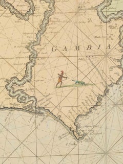
NIEUWE PASKAERT VAN DE KUST VAN GENEHOA (Senegal) alsmede een gedeelte van Gambia beginnende an C. Blanco tot C. Verde (...). Amsterdam, Johannus van Keulen, c. 1680. Large folio...

Category

17th Century Dutch Antique Nautical Maps

Materials

Paper
Nautical Chart of Skagerrak and Øresund by Johannes van Keulen, 1680

Nautical Chart of Skagerrak and Øresund by Johannes van Keulen, 1680

Located in Langweer, NL

Keywords: Johannes van Keulen, Maarten Tromp, 17th-century Dutch cartography, nautical chart, Skagerrak, Kattegat, Øresund, North Sea navigation, Dutch maritime history, naval charts...

Category

Late 17th Century Dutch Antique Nautical Maps

Materials

Paper
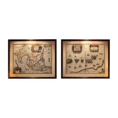
Antique Blaeu Maps, Indonesia & Moluccas – VOC Era, c.1642

Antique Blaeu Maps, Indonesia & Moluccas – VOC Era, c.1642

Located in Langweer, NL

Technique: Copperplate engraving Maker: Willem Janszoon Blaeu, Amsterdam, c.1635–1645 Keywords: antique map, Blaeu map, Willem Blaeu, Dutch Golden Age, 17th century map, VOC map, Du...

Category

Mid-17th Century Dutch Antique Nautical Maps

Materials

Paper
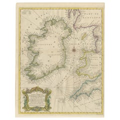
Hand-colored Nautical Chart: St. George's Channel and the Irish Sea, 1744

Hand-colored Nautical Chart: St. George's Channel and the Irish Sea, 1744

Located in Langweer, NL

The map is titled "A Correct Chart of St. George's Channel and the Irish Sea," and it appears to be a historical nautical chart.

Category

1740s British Antique Nautical Maps

Materials

Paper
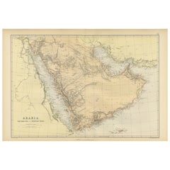
Original 1882 Map of Arabia, Red Sea & Persian Gulf

Original 1882 Map of Arabia, Red Sea & Persian Gulf

Located in Langweer, NL

Important cities and ports are marked, reflecting the trade routes and strategic locations that were significant for navigation and commerce. The map includes nautical lines indicati...

Category

1880s Antique Nautical Maps

Materials

Paper
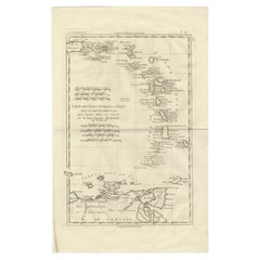
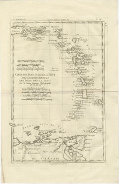
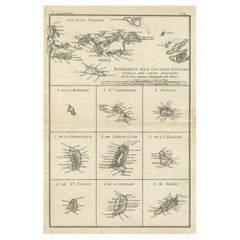
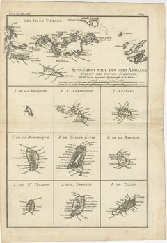
Caribbean & Lesser Antilles – Enlightenment Map by Rigobert Bonne, c.1780

Caribbean & Lesser Antilles – Enlightenment Map by Rigobert Bonne, c.1780

Located in Langweer, NL

His work marked a decisive move toward scientifically grounded cartography, emphasizing accurate coastlines, standardized measurement, and the synthesis of contemporary nautical and ...

Category

Late 18th Century French Antique Nautical Maps

Materials

Paper
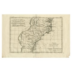
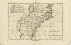
Antique Map Southern United States — Carolina & Georgia, Bonne c.1780

Antique Map Southern United States — Carolina & Georgia, Bonne c.1780

Located in Langweer, NL

Technique: Copperplate engraving Maker: Rigobert Bonne, France, circa 1780 Keyword block: Southern United States antique map, Carolina Georgia antique map, Rigobert Bonne map, early...

Category

Late 18th Century French Antique Nautical Maps

Materials

Paper
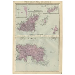
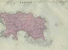
Channel Islands Map, Jersey Guernsey Alderney Sark, Bacon London, 1885

Channel Islands Map, Jersey Guernsey Alderney Sark, Bacon London, 1885

Located in Langweer, NL

Coastal rocks, reefs, and maritime features are carefully engraved, underscoring the islands’ strategic and nautical importance. Maps from Bacon’s large-scale atlases are increasing...

Category

Late 19th Century British Antique Nautical Maps

Materials

Paper
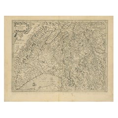
Map of Avenches Region Switzerland by Mercator, Original 1585 Engraving

Map of Avenches Region Switzerland by Mercator, Original 1585 Engraving

Located in Langweer, NL

Mercator (1512–1594) was a Flemish geographer and cartographer, best known for the Mercator projection, a method of mapmaking that became foundational for nautical navigation. His 15...

Category

16th Century Dutch Antique Nautical Maps

Materials

Paper
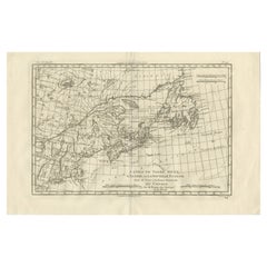
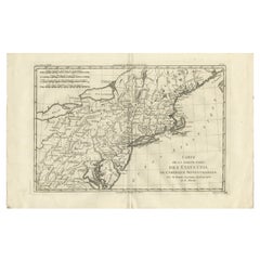
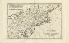
Antique Northeastern United States Map — New England & Mid-Atlantic, Bonne, 1780

Antique Northeastern United States Map — New England & Mid-Atlantic, Bonne, 1780

Located in Langweer, NL

Framing tips: Particularly effective in a dark walnut or black frame with an ivory or warm off-white mat; the wide horizontal format works well above desks or consoles and pairs nice...

Category

Late 18th Century French Antique Nautical Maps

Materials

Paper
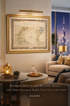
Antique Map of the Atlantic Ocean by Desnos with Ornate Border, 1761

Antique Map of the Atlantic Ocean by Desnos with Ornate Border, 1761

Located in Langweer, NL

Antique Map of the Atlantic Ocean by Desnos with Ornate Border, 1761 A rare and highly decorative nautical chart titled “Carte Réduite de l’Océan Occidental,” engraved by the French...

Category

Mid-18th Century French Antique Nautical Maps

Materials

Paper
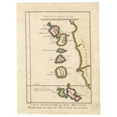
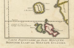
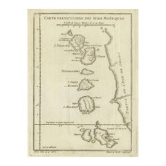
Antique Map of the Moluccas (Maluku Islands), Indonesia – Bellin, 18th Century

Antique Map of the Moluccas (Maluku Islands), Indonesia – Bellin, 18th Century

Located in Langweer, NL

The equatorial line is clearly marked, and the map includes a scale of marine leagues, emphasizing its practical nautical function.

Category

Mid-18th Century French Antique Nautical Maps

Materials

Paper
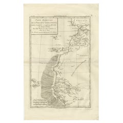
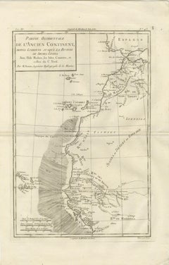
Antique Map West Africa Morocco Canary Islands Lisbon Sierra Leone Bonne, c1780

Antique Map West Africa Morocco Canary Islands Lisbon Sierra Leone Bonne, c1780

Located in Langweer, NL

Technique: Copperplate engraving Maker: Rigobert Bonne, France, circa 1780 Keyword block: West Africa antique map, Morocco antique map, Canary Islands map antique, Madeira Cape Verd...

Category

Late 18th Century French Antique Nautical Maps

Materials

Paper
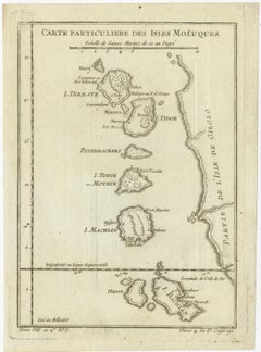
Old Map of the Spice Islands, Moluccas by Bellin, Published in 1771

Old Map of the Spice Islands, Moluccas by Bellin, Published in 1771

Located in Langweer, NL

The inclusion of a double-scale bar in both French and Dutch nautical miles demonstrates the map’s practical use for navigation.

Category

1770s French Antique Nautical Maps

Materials

Paper
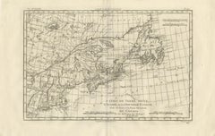
Antique Map of Canada, Newfoundland & Acadia — Gulf of St Lawrence, Bonne c.1780

Antique Map of Canada, Newfoundland & Acadia — Gulf of St Lawrence, Bonne c.1780

Located in Langweer, NL

Technique: Copperplate engraving Maker: Rigobert Bonne, France, circa 1780 Keyword block: Canada antique map, Newfoundland antique map, Gulf of St Lawrence map, Acadia Nova Scotia m...

Category

Late 18th Century French Antique Nautical Maps

Materials

Paper
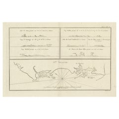
Antique Map of New Ireland (Pacific) with Coastal Profiles – Cook Voyages, 1774

Antique Map of New Ireland (Pacific) with Coastal Profiles – Cook Voyages, 1774

Located in Langweer, NL

A highly desirable Cook-era Pacific map combining detailed coastal charting with navigational profile views, appealing to collectors of exploration, nautical history, and early engra...

Category

Late 18th Century Antique Nautical Maps

Materials

Paper
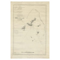
Large Chart of the Gambier Islands, Tuamotu Archipelago, French Polynesia, 1838

Large Chart of the Gambier Islands, Tuamotu Archipelago, French Polynesia, 1838

Located in Langweer, NL

Keywords: Mangareva, Gambier Islands, Tuamotu Archipelago, Paumotu, French Polynesia, South Pacific, Polynesia map, Pacific exploration, 19th century map, 1838 chart, French hydrogra...

Category

Mid-19th Century French Antique Nautical Maps

Materials

Paper

Cartographic Elegance: The British Raj's India, 1882 Atlas by Blackie and Son

Cartographic Elegance: The British Raj's India, 1882 Atlas by Blackie and Son

Located in Langweer, NL

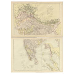
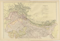
The Maldives and Lakshadweep archipelagos are also depicted, showcasing the expanse of British nautical knowledge. Both maps display an overlay of longitude and latitude lines, indi...

Category

1880s British Antique Nautical Maps

Materials

Paper

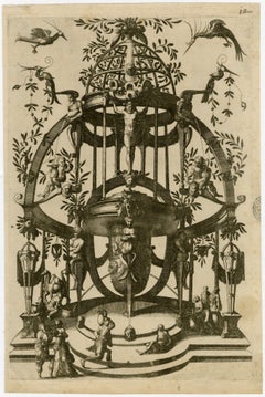
Old Master, Tomb Design, After: Cornelis Floris (before 1514-1575), van Doetecum

Old Master, Tomb Design, After: Cornelis Floris (before 1514-1575), van Doetecum

By Johannes van Doetecum

Located in Fairlawn, OH

He later worked with his sons and became particularly important in cartographic engraving, producing maps and nautical charts associated with the expansion of Dutch exploration and c...

Category

16th Century Old Masters Antique Nautical Maps

Materials

Etching

Recent Sales

Carte de la Rade et des Iles d'Hyeres [...].

Carte de la Rade et des Iles d'Hyeres [...].

Located in Zeeland, Noord-Brabant

Highly decorative sea chart / nautical map / maritime map. Map orientation is north.

Category

Late 18th Century Antique Nautical Maps

Materials

Engraving

No. 28. Carte reduite du Golfe de Gascoigne [...].

No. 28. Carte reduite du Golfe de Gascoigne [...].

Located in Zeeland, Noord-Brabant

Detailed map of the Gulf of Gascoigne / Biscay.) Decorative sea chart / nautical map / maritime map, showing the west cost of France and north coast of Spain.

Category

Late 18th Century Antique Nautical Maps

Materials

Engraving

Carte reduite des Mers du Nord [...].

Carte reduite des Mers du Nord [...].

By Jacques-Nicolas Bellin

Located in Zeeland, Noord-Brabant

Carte reduite des Mers du Nord [...] - Detailed map of the Northern Oceans ... Highly decorative sea chart / nautical map / maritime map of the North Atlantic Ocean and other norther...

Category

Mid-18th Century Antique Nautical Maps

Materials

Engraving

Carte reduite des costes d'Espagne et de Portugal [...].

Carte reduite des costes d'Espagne et de Portugal [...].

By Jacques-Nicolas Bellin

Located in Zeeland, Noord-Brabant

Highly decorative sea chart / nautical map / maritime map of the region centered on Portugal with parts of N-W Spain.

Category

Mid-18th Century Antique Nautical Maps

Materials

Engraving

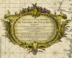
Carte reduite du Golphe de St. Laurent [...].

Carte reduite du Golphe de St. Laurent [...].

By Jacques-Nicolas Bellin

Located in Zeeland, Noord-Brabant

Laurent [...]' - (Detailed map of the Gulf of St. Lawrence ...) Highly decorative sea chart / nautical map / maritime map of the Gulf of St.

Category

Mid-18th Century Antique Nautical Maps

Materials

Engraving

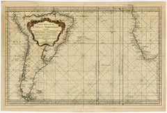
Sea chart of the Southern Atlantic Ocean - Engraving - 18th century

Sea chart of the Southern Atlantic Ocean - Engraving - 18th century

Located in Zeeland, Noord-Brabant

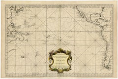
Subject: Antique print, titled: 'Carte reduite de l'Ocean Meridional [...]' - (Detailed map of the Southern Atlantic Ocean ...) Highly decorative sea chart / nautical map / maritime ...

Category

1750s Old Masters Antique Nautical Maps

Materials

Engraving

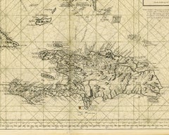
Sea chart of Santa Domingo and its surroundings - Engraving - 18th century

Sea chart of Santa Domingo and its surroundings - Engraving - 18th century

Located in Zeeland, Noord-Brabant

Highly decorative sea chart / nautical map / maritime map of the region centered on Santa Domingo, and including Hispaniola, Turks & Caicos Islands, Lower Bahamas, the eastern ends o...

Category

1750s Old Masters Antique Nautical Maps

Materials

Engraving

Carte generale des costes de l'Europe sur l'ocean [...].

Carte generale des costes de l'Europe sur l'ocean [...].

By Alexis Hubert Jaillot

Located in Zeeland, Noord-Brabant

Highly decorative sea chart / nautical map / maritime map of north-western Europe including Norway, Iceland, Denmark, Germany, Netherland, Belgium, France, Portugal, Spain, England, ...

Category

Late 17th Century Antique Nautical Maps

Materials

Engraving

Large Nautical Map of New York Entrance, 1870

Large Nautical Map of New York Entrance, 1870

Located in Haddonfield, NJ

Large rectangular nautical map of the New York Entrance, 1857. Sandy Hook Bay, Coney Island, Jamaica Bay, Staten Island

Category

19th Century American Antique Nautical Maps

Nautical Map of the Mediterranean Sea from  Le petit Neptune françois, 1763

Nautical Map of the Mediterranean Sea from Le petit Neptune françois, 1763

By G. A. Rizzi-zannoni

Located in Milan, IT

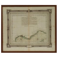
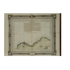
Antique nautical map of the Mediterranean sea from La Spezia to Roussillon, from Le petit Neptune françois published in Paris in 1763.

Category

1760s French Antique Nautical Maps

Three framed 18th C. Nautical maps of France, Harrewijn, Fricx

Three framed 18th C. Nautical maps of France, Harrewijn, Fricx

Located in Charlottesville, VA

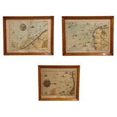
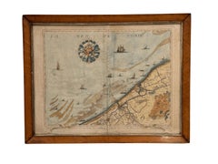
Three framed copperplate engravings of maps, c. 1708. (1) “Les Costes du Boulenois et de la Picardie” Jacob Harrewijn (1660–1727), Eugène-Henri Fricx (Brussels) 1708-1712 (2&3) 170...

Category

18th Century Belgian Antique Nautical Maps

Materials

Wood, Paper

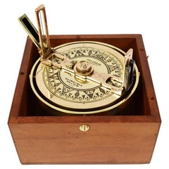
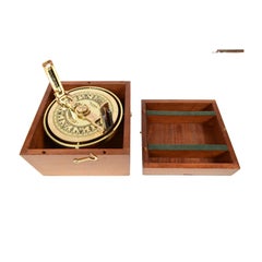
Pelorus Made in 1920s of Brass, Made in New York with Original Mahogany Box

Pelorus Made in 1920s of Brass, Made in New York with Original Mahogany Box

Located in Milan, IT

It is an azimuth dial equipped with a compass used to determine the position of a ship during coastal navigation, the survey takes place by measuring two specific, clearly visible an...

Category

1920s American Antique Nautical Maps

Materials

Brass

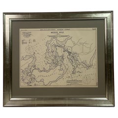
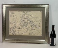
1901 Nautical Chart Showing Woods Hole, Mass

1901 Nautical Chart Showing Woods Hole, Mass

Located in Norwell, MA

Rare 1901 chart of Woods Hole, Mass., showing Buzzards Bay, Penzance Point, Nonamesset Island, Downtown Woods Hole, Parker Neck, Nobska Head, Vineyard Sound, Woods Hole Golf Club, Ra...

Category

Early 1900s North American Antique Nautical Maps

Materials

Paper

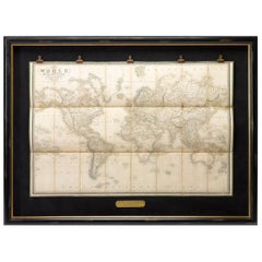
1837 "Mercator Projection" Map of the World by James Wyld

1837 "Mercator Projection" Map of the World by James Wyld

Located in Colorado Springs, CO

It became the standard map projection for nautical purposes because of its ability to represent lines of constant course, known as rhumb lines or loxodromes, as straight segments tha...

Category

1830s English Antique Nautical Maps

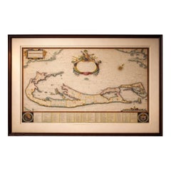
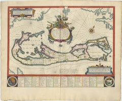
Blaeu Bermuda Map, Somers Isles, Atlantic Chart, Hand-Colored, c.1642

Blaeu Bermuda Map, Somers Isles, Atlantic Chart, Hand-Colored, c.1642

Located in Langweer, NL

The elongated format lends itself well to horizontal placement above a desk or console, or as a refined standalone focal point within a curated wall of early maps. Technique: Copper...

Category

Mid-17th Century Dutch Antique Nautical Maps

Materials

Paper
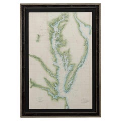
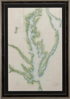
1856 U.S. Coast Survey Map of Chesapeake Bay and Delaware Bay

1856 U.S. Coast Survey Map of Chesapeake Bay and Delaware Bay

Located in Colorado Springs, CO

Presented is U.S. Coast Survey nautical chart or maritime map of Chesapeake Bay and Delaware Bay from 1856.

Category

1850s American Antique Nautical Maps

Materials

Paper

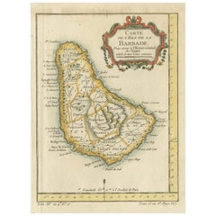
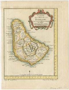
Barbados Island at the Height of the Plantation Economy, Circa 1759

Barbados Island at the Height of the Plantation Economy, Circa 1759

Located in Langweer, NL

Bellin, as Hydrographer to the King of France, is known for his nautical charts and colonial maps that capture the world during a transformative era in global trade and colonization.

Category

1750s Antique Nautical Maps

Materials

Paper

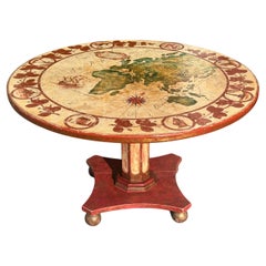
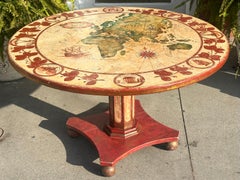
Antique Nautical World Map Painted Wood Round Dining Table

Antique Nautical World Map Painted Wood Round Dining Table

Located in LOS ANGELES, CA

Antique Nautical World Map Painted Wood Round Dining Table

Category

1920s American Classical Roman Antique Nautical Maps

Materials

Wood

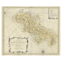
Detailed Nautical Antique Map of Martinique in the Caribbean, 1762

Detailed Nautical Antique Map of Martinique in the Caribbean, 1762

Located in Langweer, NL

Detailed nautical map of the island of Martinique. Shows areas of safe anchorage and soundings along the coastal coves.

Category

1760s Antique Nautical Maps

Materials

Paper

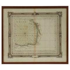
1763 Nautical Portolano Chart  of Guascogna Bay  from Le Petit Neptune François

1763 Nautical Portolano Chart of Guascogna Bay from Le Petit Neptune François

By G. A. Rizzi-zannoni

Located in Milan, IT

Antique nautical map of the Bay of Guascogna from Le petit Neptune françois published in Paris in 1763.

Category

1760s French Antique Nautical Maps

Materials

Paper
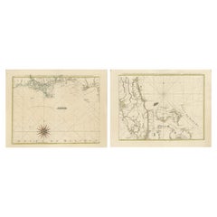
Map of Florida, Louisiana and the Bahamas – Set of Rare French Sea Charts, 1777

Map of Florida, Louisiana and the Bahamas – Set of Rare French Sea Charts, 1777

Located in Langweer, NL

This set of two beautifully hand-colored 18th-century nautical maps offers a fascinating glimpse into the colonial geography of the Gulf of Mexico and the Caribbean.

Category

1770s Antique Nautical Maps

Materials

Paper

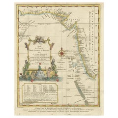
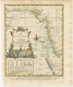
1773 Map of Persia, Gujarat & Malabar Coasts – Arabia to India, Hand-Colored

1773 Map of Persia, Gujarat & Malabar Coasts – Arabia to India, Hand-Colored

Located in Langweer, NL

Changuion, copperplate engraving, Laccadive Islands, Maldives, Amsterdam cartography, maritime atlas, Jacques-Nicolas Bellin map, 18th century nautical chart

Category

1780s Antique Nautical Maps

Materials

Paper

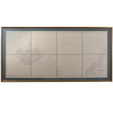
Norway to Iceland, Framed Nautical Map

Norway to Iceland, Framed Nautical Map

Sold

H 33 in W 64 in D 2 in

Norway to Iceland, Framed Nautical Map

Located in Houston, TX

20th Century These great looking, beautifully matted and framed, early 20th century navigation maps are quite unique. You can actually see markings on them from where captains did t...

Category

Early 20th Century Antique Nautical Maps

Materials

Glass

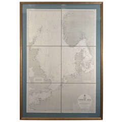
The North Sea, Antique Nautical Map

The North Sea, Antique Nautical Map

Sold

H 46 in W 33 in D 2 in

The North Sea, Antique Nautical Map

Located in Houston, TX

20th Century These great looking, beautifully matted and framed, early 20th century navigation maps are quite unique. You can actually see markings on them from where captains did t...

Category

Early 20th Century Antique Nautical Maps

Materials

Glass

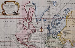
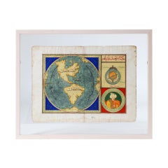
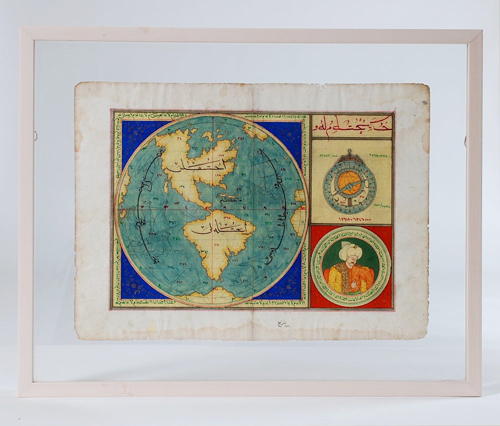
Very Rare Original 18th Century Ottoman Turkish Map - Mustafa II

Very Rare Original 18th Century Ottoman Turkish Map - Mustafa II

Located in San Francisco, CA

Extremely rare, original 18th century Ottoman Turkish hand drawn and hand painted map of the Western Hemisphere with beautiful hand drawn calligraphy (obverse and reverse), nautical ...

Category

18th Century and Earlier Turkish Antique Nautical Maps

Materials

Paper
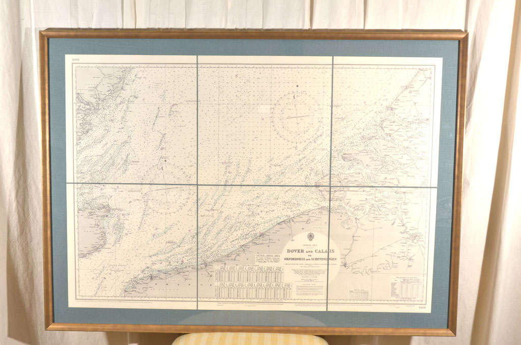
Dover to Calais, Antique Nautical Map

Dover to Calais, Antique Nautical Map

Sold

H 33 in W 46 in D 2 in

Dover to Calais, Antique Nautical Map

Located in Houston, TX

Dover to Calais, Antique Nautical Map custom framed.

Category

Early 20th Century Antique Nautical Maps

Materials

Glass

Carte reduite des Isles Acores [...]. - Detailed map of the Azores Islands [...]

Carte reduite des Isles Acores [...]. - Detailed map of the Azores Islands [...]

By Jacques-Nicolas Bellin

Located in Zeeland, Noord-Brabant

Carte reduite des Isles Acores [...]' - (Detailed map of the Azores Islands ...) Highly decorative sea chart / nautical map / maritime map of the Azores.

Category

Mid-18th Century Antique Nautical Maps

Materials

Engraving

You May Also Like

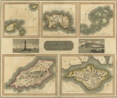
Antique Map of the British Islands by J. Thomson, 1817

Antique Map of the British Islands by J. Thomson, 1817

Located in Langweer, NL

Group of 5 maps of the Channel Islands, Scilly, Jersey, the Isle of Mann and the Isle of Wight. Engraved views of the Eddystone Lighthouse and Freshwater Bay on the Isle of Wight, wi...

Category

Early 19th Century Antique Nautical Maps

Materials

Paper
Antique Map of Principality of Monaco, Late 19th Century, Paper Print

Antique Map of Principality of Monaco, Late 19th Century, Paper Print

$347Sale Price|62% Off

H 22.84 in W 15.75 in D 0.04 in

Antique Map of Principality of Monaco, Late 19th Century, Paper Print

By Antonio Vallardi Editore

Located in Alessandria, Piemonte

"Old Geographical Atlas of Italy - Topographic map of ex-Principality of Monaco" - ediz Vallardi - Milano - A somewhat special edition --- ref. ST/619 -  

Category

Late 19th Century Italian Other Antique Nautical Maps

Materials

Paper
Late 19th Century Cased British Sailing Vessel Folk Art Maritime

Late 19th Century Cased British Sailing Vessel Folk Art Maritime

Located in Lowestoft, GB

A late 19th/early 20th century cased display of a painted British sailing vessel, built by Joseph Packer, who was a carpenter in Ramsey The detailed ship is housed in the most wonde...

Category

Late 19th Century English Antique Nautical Maps

Materials

Blown Glass, Pine

Antique Nautical Seascape Circa 1919 Maritime Engraving Print

Antique Nautical Seascape Circa 1919 Maritime Engraving Print

Located in Miami, FL

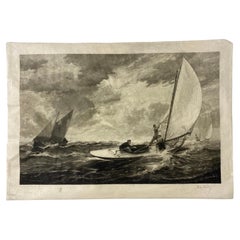
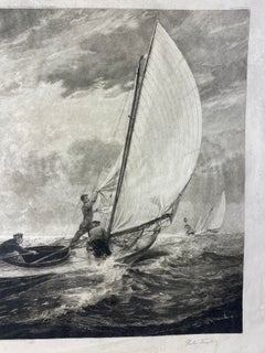
Antique maritime engraving print, circa 1919, depicting sailing vessels navigating a dramatic rough sea beneath a richly rendered, cloud-filled sky. The composition centers on a trad...

Category

Early 20th Century French Victorian Antique Nautical Maps

Materials

Paper
A rare ship's chronometer by Whyte, Thomson & Co. Suppliers to the Admiralty

A rare ship's chronometer by Whyte, Thomson & Co. Suppliers to the Admiralty

Located in Milan, IT

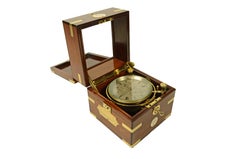
Rare ship's chronometer by Whyte, Thomson & Co., Makers to the Admiralty, 144 Broomielaw, GLASGOW, number 4492, housed in its beautiful original three-tiered rosewood-veneered case w...

Category

1890s English Antique Nautical Maps

Materials

Wood

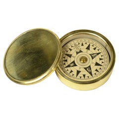
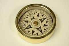
Rare travel nautical compass made of turned brass, complete with lid, 1870

Rare travel nautical compass made of turned brass, complete with lid, 1870

Located in Milan, IT

Rare turned brass nautical travel compass complete with cover, rose on eight-wind paper complete with goniometric circle from copperplate engraving. English manufacture of the second...

Category

1870s Antique Nautical Maps

Materials

Brass

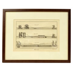
Engraving Print from the Panckoucke Encyclopédie Nautical Subject, 1782-1832

Engraving Print from the Panckoucke Encyclopédie Nautical Subject, 1782-1832

Located in Milan, IT

Print by engraving on copper plate from the Panckoucke Encyclopédie méthodique, end of the 18th century, volume Marine Planches (more than 1,500 figures dealing with all subjects on ...

Category

1790s French Antique Nautical Maps

Materials

Paper
Brass aneroid table and wall barometer signed Bourgeois Paris 1900

Brass aneroid table and wall barometer signed Bourgeois Paris 1900

Located in Milan, IT

Brass aneroid or holosteric barometer, table and wall barometer signed Bourgeois Eng. Opt. 168 Rue de Rivoli Paris from the early 1900s. Good working condition. Measures 12.5x5.8 ...

Category

Early 1900s Antique Nautical Maps

Materials

Brass

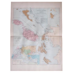
Large Original Antique Map of The Greek Islands. 1894

Large Original Antique Map of The Greek Islands. 1894

$120Sale Price|20% Off

H 29.5 in W 22 in D 0.07 in

Large Original Antique Map of The Greek Islands. 1894

Located in St Annes, Lancashire

Superb Antique map of The Greek Islands Published Edward Stanford, Charing Cross, London 1894 Original colour Good condition Unframed. Free shipping

Category

1890s English Antique Nautical Maps

Materials

Paper

19th Century Nautical Chart of Martinique

19th Century Nautical Chart of Martinique

Located in Norwell, MA

Original map of Martinique from 1887 with chartered waters around the island. Prepared from a French survey, completed in 1825, showing town, ports, rivers and tributaries. Published...

Category

19th Century Antique Nautical Maps

Antique Map of the British Islands to the White Sea by J. Imray

Antique Map of the British Islands to the White Sea by J. Imray

Located in Langweer, NL

Antique large nautical chart of the British Islands to the White Sea. With insets of Veshnyak Channel, Sosnovets and the Bay of Arkhangel. Published by James Irmay and Son, circa 1875.

Category

Late 19th Century Antique Nautical Maps

Materials

Paper
Old Nautical Print by Engraving on Copper Plate from the Panckoucke Encyclopédie

Old Nautical Print by Engraving on Copper Plate from the Panckoucke Encyclopédie

Located in Milan, IT

Print by engraving on copper plate from the Panckoucke Encyclopédie méthodique, end of the 18th century, volume Marine Planches (more than 1,500 figures dealing with all subjects on ...

Category

1790s French Antique Nautical Maps

Materials

Paper
Antique Map of Anjouan Island by Valentijn, 1726

Antique Map of Anjouan Island by Valentijn, 1726

$490

H 13.19 in W 8.08 in D 0.02 in

Antique Map of Anjouan Island by Valentijn, 1726

By F. Valentijn

Located in Langweer, NL

Antique map titled 'Anzuany'. This map depicts the island of Anjouan, one of the Comoros islands situated between Madagascar and Africa. The map is oriented with north to the left wi...

Category

Early 18th Century Dutch Antique Nautical Maps

Nautical Atlas of the Mediterranean, complete with 121 plates, by Joseph Roux, 1779

Nautical Atlas of the Mediterranean, complete with 121 plates, by Joseph Roux, 1779

Located in Milan, IT

Joseph Roux (1725–1793) Collection of the Main Plans of Ports and Harbors of the Mediterranean Sea, excerpts from my twelve-sheet map. Dedicated to His Excellency the Duke of Choiseu...

Category

1770s Antique Nautical Maps

Materials

Paper
Antique Physical Chart of the Atlantic Ocean by Johnston '1850'

Antique Physical Chart of the Atlantic Ocean by Johnston '1850'

Located in Langweer, NL

Antique map titled 'Physical Chart of the Atlantic Ocean showing the form and direction of the currents'. Original antique chart of the Atlantic Ocean. This map originates from 'The ...

Category

Mid-19th Century Antique Nautical Maps

Materials

Paper
Antique Map of the Strait Between Nova Zembla and the Mainland of Russia

Antique Map of the Strait Between Nova Zembla and the Mainland of Russia

Located in Langweer, NL

Antique map titled 'Carte du Detroit de Waeigats ou de Nassau'. Detailed regional map of the Strait of Waeigats in the Arctic Sea. Includes a decorative title cartouche. One of the m...

Category

Mid-18th Century Antique Nautical Maps

Materials

Paper
People Also Browsed

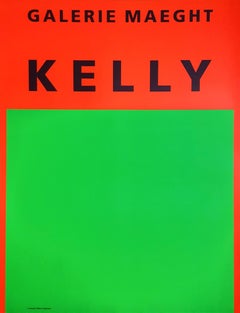
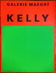
Galerie Maeght /// Abstract Geometric Minimalist Ellsworth Kelly Colorfield Art

Galerie Maeght /// Abstract Geometric Minimalist Ellsworth Kelly Colorfield Art

By Ellsworth Kelly

Located in Saint Augustine, FL

Artist: Ellsworth Kelly (American, 1923-2015) Title: "Galerie Maeght" Year: 1964 Medium: Original Lithograph, Exhibition Poster on light wove paper Limited edition: Unknown Printer...

Category

1960s Minimalist Antique Nautical Maps

Materials

Lithograph

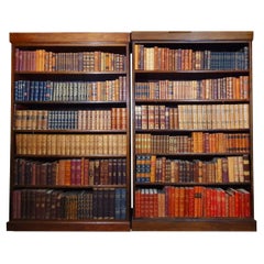
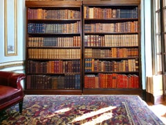
Library of Antique Leatherbound Books

Library of Antique Leatherbound Books

$3,084 / set

H 61.03 in W 31.5 in D 47.25 in

Library of Antique Leatherbound Books

Located in Brønshøj, DK

This collection consists of 400 antique decorative books, mainly dating from 1850–1950, with most published before 1920. The books are bound in leather, many with fine gold leaf embo...

Category

20th Century Danish Victorian Antique Nautical Maps

Materials

Gold Leaf

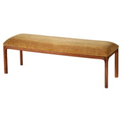
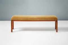
Custom Made Oak and Velvet Bench by Kai Kristiansen

Custom Made Oak and Velvet Bench by Kai Kristiansen

$3,177 / item

H 14.97 in W 46.46 in D 14.97 in

Custom Made Oak and Velvet Bench by Kai Kristiansen

Located in London, England

Bench designed by Danish master Kai Kristiansen in the 1950s and now produced under license by Dagmar. Hand-made to order, this upholstered bench has a fumed and oiled oak frame. Th...

Category

2010s British Scandinavian Modern Antique Nautical Maps

Materials

Mohair, Oak

Large Incised Iron Oxide and Studio Pottery Table Lamp by Larry & Terry Brown

Large Incised Iron Oxide and Studio Pottery Table Lamp by Larry & Terry Brown

Located in San Diego, CA

Large incised iron oxide and studio pottery table lamp by Larry & Terry Brown, circa 1970s. The lamp is in very good working condition and measures 12.75"D x 29"H (to the top of...

Category

Mid-20th Century American Mid-Century Modern Antique Nautical Maps

Materials

Stoneware

Itsu, Table Lamps, Brass, Reed, Finland, 1950s

Itsu, Table Lamps, Brass, Reed, Finland, 1950s

$5,800 / set

H 10 in W 5 in D 8.5 in L 10 in

Itsu, Table Lamps, Brass, Reed, Finland, 1950s

By Itsu

Located in High Point, NC

A pair of brass and woven reed table lamps produced by Itsu, Finland, c. 1950s. Dimensions of Lamp with Shade (inches):  10” H x 5” W x 8.5” D Depth may vary slightly with shade po...

Category

1950s Finnish Scandinavian Modern Antique Nautical Maps

Materials

Brass

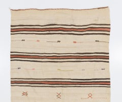
4.8x13.2 ft Vintage Turkish Kilim Runner Flat-woven Organic Wool Rug. Reversible

4.8x13.2 ft Vintage Turkish Kilim Runner Flat-woven Organic Wool Rug. Reversible

Located in Spring Valley, NY

A simple yet beautiful wool flat-weave rug handwoven by the nomadic tribes in South Central Turkey that has a design of stripes in beige, brown and madder red and minuscule simple ge...

Category

1960s Turkish Kilim Antique Nautical Maps

Materials

Wool

Swedish Designer, Table Lamp, Earthenware, Sweden, 1960s

Swedish Designer, Table Lamp, Earthenware, Sweden, 1960s

Located in High Point, NC

A beige earthenware table lamp produced by a Swedish designer, Sweden, 1960s. Dimensions of Lamp (inches): 9.25” Height x 6.25” Diameter Dimensions of Shade (inches): 5” Top Diamet...

Category

1960s Swedish Mid-Century Modern Antique Nautical Maps

Materials

Earthenware

Antique Map of the Region of Tokyo and Nagasaki in Japan, 1922

Antique Map of the Region of Tokyo and Nagasaki in Japan, 1922

Located in Langweer, NL

Antique map of Japan titled 'Japan - Environs of Tokio & Nagasaki'. Old map of Japan, includes inset maps of Tokyo, Nagasaki and surroundings. This map originates from 'The Times' at...

Category

20th Century English Antique Nautical Maps

Materials

Paper
Ego Stengods, Table Lamp, Stoneware, Sweden, 1970s

Ego Stengods, Table Lamp, Stoneware, Sweden, 1970s

Located in High Point, NC

A brown and off-white stoneware table lamp produced by Ego Stengods, Sweden, c. 1970s. Dimensions of Lamp (inches): 10.25“ H x 5.5“ Diameter Dimensions of Shade (inches): 6“ Top Di...

Category

1970s Swedish Antique Nautical Maps

Materials

Stoneware

Mid-20th Century White Porcelain Opaline Glass Black Enamel Brass Pendant Lights

Mid-20th Century White Porcelain Opaline Glass Black Enamel Brass Pendant Lights

Located in Amsterdam, NL

Porcelain industrial hanging lamp. White porcelain, brass and white opaline milk glass. Black enamel shade 2 conductors, no ground. Weight: 1.70 kg / 3.7 lb Priced per individual i...

Category

Mid-20th Century French Mid-Century Modern Antique Nautical Maps

Materials

Brass, Enamel

Handmade Cast Bronze Squared Decorative Wabi-Sabi Tray, Vide Poche, Large

Handmade Cast Bronze Squared Decorative Wabi-Sabi Tray, Vide Poche, Large

By Alguacil & Perkoff Ltd.

Located in London, London

Graceful bronze tray, vide-poche, inspired by Wabi-Sabi, the ancient Japanese philosophy that views and embraces the world for its imperfections and transient nature. It translates i...

Category

2010s British Organic Modern Antique Nautical Maps

Materials

Bronze

Single vintage Solid Brass Hanging Lantern- 21”high x 13” wide

Single vintage Solid Brass Hanging Lantern- 21”high x 13” wide

Located in Delray Beach, FL

Illuminate your home with a touch of fun. This exquisite single vintage solid brass hanging lantern exudes timeless elegance and old-world charm. Crafted from , high-quality solid ...

Category

21st Century and Contemporary American Antique Nautical Maps

Materials

Brass

Pair of Kent Eriksson Glazed Ceramic Oval Table Lamps, Designhuset, Sweden 1970s

Pair of Kent Eriksson Glazed Ceramic Oval Table Lamps, Designhuset, Sweden 1970s

By Carl-Harry Stålhane

Located in The Hague, NL

This rare pair of table lamps was designed by Kent Eriksson in collaboration with Carl-Harry Stålhane and produced by Designhuset in Sweden during the 1970s. Each base is marked “KE”...

Category

1970s Swedish Scandinavian Modern Antique Nautical Maps

Materials

Ceramic, Fabric

Cuore Grande Ceiling Light by Gaspare Asaro-Bronze

Cuore Grande Ceiling Light by Gaspare Asaro-Bronze

$7,200 / item

H 8 in W 19 in D 22 in

Cuore Grande Ceiling Light by Gaspare Asaro-Bronze

By Gaspare & Vittorio Asaro

Located in New York, NY

The Cuore Grande with its large organically styled shade is designed to be unexpected yet clean and harmoniously balanced. The shade diffusers can be Alabaster for a natural look or ...

Category

2010s Italian Modern Antique Nautical Maps

Materials

Alabaster, Brass

Set of Four 18th Century Gustavian Period Chairs

Set of Four 18th Century Gustavian Period Chairs

$6,800 / set

H 33.25 in W 18.25 in D 15.5 in

Set of Four 18th Century Gustavian Period Chairs

Located in Charleston, SC

Family of four 18th century Gustavian period folk art chairs, Leksand model, with original patina and re-covered cushions in linen. Note: One chair slightly different- please see the...

Category

18th Century Swedish Gustavian Antique Nautical Maps

Materials

Linen, Wood, Paint

Get Updated with New Arrivals
Save "Antique Nautical Maps", and we’ll notify you when there are new listings in this category.

Antique Nautical Maps For Sale on 1stDibs

Find a variety of antique nautical maps available on 1stDibs. The range of distinct antique nautical maps — often made from paper and glass — can elevate any home. Antique nautical maps have long been popular, with older editions for sale from the 18th Century and newer versions made as recently as the 20th Century. Many antique nautical maps are appealing in their simplicity, but G. A. Rizzi-zannoni produced popular antique nautical maps that are worth a look.
How Much are Antique Nautical Maps?

Antique nautical maps can differ in price owing to various characteristics — the average selling price at 1stDibs is $1,261, while the lowest priced sells for $444 and the highest can go for as much as $3,800.

Read More