Louis Larmat Art

to
21
1
5
Overall Width
to
Overall Height
to
27
27
24
24
24
23
19
5
2
2
1
1
1
1
1
27

Use search to find more

27
12,000
2,897
2,541
1,647

Use search to find more

Artist: Louis Larmat
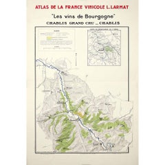
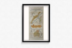
1942 Antique Map of Chablis Vineyards, Atlas de la France Vinicole by Larmat

1942 Antique Map of Chablis Vineyards, Atlas de la France Vinicole by Larmat

By Louis Larmat

Located in PARIS, FR

This detailed 1942 map comes from the Atlas de la France Vinicole, a celebrated work by Louis Larmat, dedicated to documenting the geography of France’s great wine regions. The sheet...

Category

1940s Louis Larmat Art

Materials

Paper, Lithograph
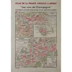
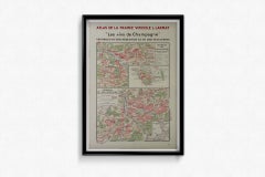
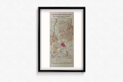
1944 original map Les vins de Champagne – Vignobles du Bar-Séquanais

1944 original map Les vins de Champagne – Vignobles du Bar-Séquanais

By Louis Larmat

Located in PARIS, FR

The 1944 original map "Atlas de la France Vinicole – Les vins de Champagne – Vignobles du Bar-Séquanais et du Bar-sur-Aubois", created by Louis Larmat and printed by Dorel in Paris, ...

Category

1940s Louis Larmat Art

Materials

Paper, Lithograph
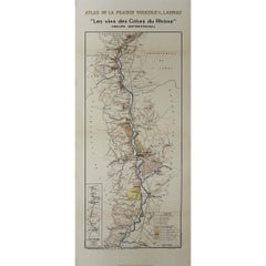
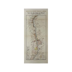
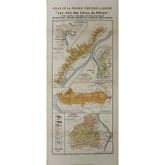
1943 original map " Les vins des Côtes du Rhône - Groupe Septentrional"

1943 original map " Les vins des Côtes du Rhône - Groupe Septentrional"

By Louis Larmat

Located in PARIS, FR

The 1943 original map by L. Larmat from the "Atlas de la France Vinicole" series, titled "Les vins des Côtes du Rhône - Groupe Septentrional", is a beautiful and historically signifi...

Category

1940s Louis Larmat Art

Materials

Paper, Lithograph
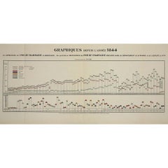
1944 statistical chart Larmat's Atlas de la France vinicole

1944 statistical chart Larmat's Atlas de la France vinicole

By Louis Larmat

Located in PARIS, FR

This 1944 historical statistical chart is an exceptional document from Larmat L.'s "Atlas de la France Vinicole – Les Vins de Champagne", presenting over a century of Champagne wine ...

Category

1940s Louis Larmat Art

Materials

Paper, Lithograph
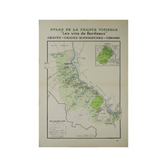
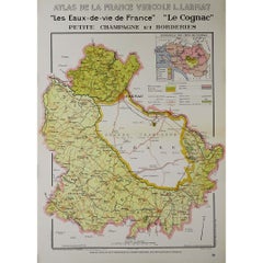
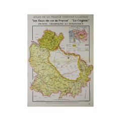
1947 original map "Les eaux-de-vie de France - Le Cognac petite Champagne"

1947 original map "Les eaux-de-vie de France - Le Cognac petite Champagne"

By Louis Larmat

Located in PARIS, FR

The 1947 original map Atlas de la France Vinicole - Les eaux-de-vie de France - Le Cognac Petite Champagne et Borderies, created by Louis Larmat and printed by Dorel in Paris, is a d...

Category

1940s Louis Larmat Art

Materials

Paper, Lithograph
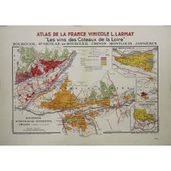
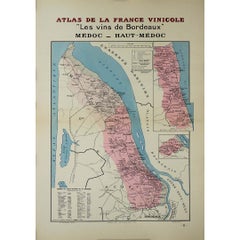
1941 original map "Les vins de Bordeaux - Médoc, Haut-Médoc" by Larmat

1941 original map "Les vins de Bordeaux - Médoc, Haut-Médoc" by Larmat

By Louis Larmat

Located in PARIS, FR

The 1941 original map by L. Larmat, titled "Atlas de la France vinicole – Les vins de Bordeaux, Médoc, Haut-Médoc", is a part of Larmat's renowned cartographic series that documents ...

Category

1940s Louis Larmat Art

Materials

Paper, Lithograph
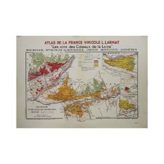
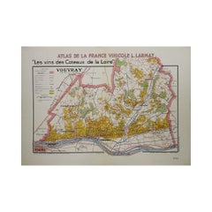
1946 original map "Les vins des côteaux de la Loire - Vouvray " by Larmat

1946 original map "Les vins des côteaux de la Loire - Vouvray " by Larmat

By Louis Larmat

Located in PARIS, FR

The 1946 map titled Atlas de la France Vinicole - Les Vins des Côteaux de la Loire: Vouvray by Louis Larmat, printed by Dorel in Paris, presents an intimate exploration of one of the...

Category

1940s Louis Larmat Art

Materials

Paper, Lithograph
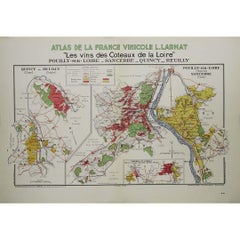
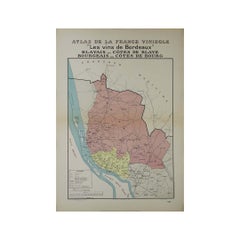
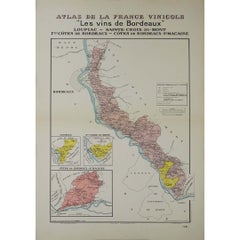
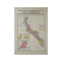
1941 original map "Les vins de Bordeaux - Loupiac, ..." by Larmat

1941 original map "Les vins de Bordeaux - Loupiac, ..." by Larmat

By Louis Larmat

Located in PARIS, FR

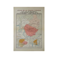
In 1941, L. Larmat crafted an exquisite map titled Atlas de la France Vinicole: Les Vins de Bordeaux - Loupiac, Sainte-Croix-du-Mont, Ières Côtes de Bordeaux, Côtes de Bordeaux St. M...

Category

1940s Louis Larmat Art

Materials

Paper, Lithograph
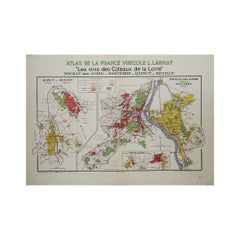
1946 original map "Les vins des côteaux de la Loire - Bourgueil" by Larmat

1946 original map "Les vins des côteaux de la Loire - Bourgueil" by Larmat

By Louis Larmat

Located in PARIS, FR

The 1946 original map Atlas de la France Vinicole - Les Vins des Côteaux de la Loire: Bourgueil, St Nicolas-de-Bourgueil, Chinon, Montlouis, Jasnières, created by Louis Larmat and pr...

Category

1940s Louis Larmat Art

Materials

Paper, Lithograph
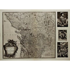
1947 original map Gouvernement Généraux du Poitou, du Pays d'Aunis

1947 original map Gouvernement Généraux du Poitou, du Pays d'Aunis

By Louis Larmat

Located in PARIS, FR

The 1947 original map Gouvernement Généraux du Poitou, du Pays d'Aunis et de Saintonge Angoumois, created by Louis Larmat and printed by Dorel in Paris, is a beautifully detailed cartographic representation of a historically significant region in western France. This map, part of Larmat’s extensive body of work, is known for its artistic craftsmanship and geographical precision, offering a comprehensive view of the historical administrative regions of Poitou, Aunis, Saintonge, and Angoumois, which played key roles in the political and cultural history of France. Louis Larmat is celebrated for his contributions to cartography, particularly for his ability to merge historical context, topographical detail, and aesthetic elegance in his maps. His works, especially those focusing on the vinicultural regions of France, are highly respected for their accuracy and artistry. This particular map, although focusing on a more political and historical aspect rather than the wine regions he is most famous for, continues his tradition of detailed regional documentation. Larmat’s cartographic works often transcended the realm of simple geographical depiction, becoming historical documents that encapsulate the cultural essence of the regions they portray. This map illustrates the general governments (administrative divisions) of the provinces of Poitou, Aunis, Saintonge, and Angoumois, regions that are steeped in history. These areas, situated along France’s western coastline, have been integral to the country’s political, economic, and cultural development over centuries. The region of Poitou, for example, is historically known as the birthplace of Eleanor of Aquitaine...

Category

1940s Louis Larmat Art

Materials

Paper, Lithograph

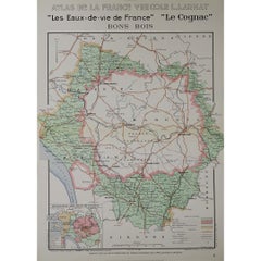
1947 original map "Le Cognac Bois ordinaires & Bois communs" by Larmat

1947 original map "Le Cognac Bois ordinaires & Bois communs" by Larmat

By Louis Larmat

Located in PARIS, FR

The 1947 original map Atlas de la France Vinicole - Les Eaux-de-vie de France - Le Cognac Bois Ordinaires & Bois Communs dits à Terroir, created by Louis Larmat and printed by Dorel ...

Category

1940s Louis Larmat Art

Materials

Paper, Lithograph
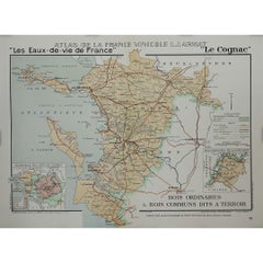
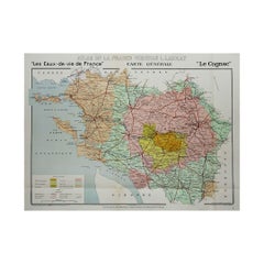
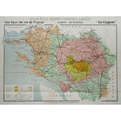
1947 original map "Les eaux-de-vie de France - Le Cognac" by Larmat

1947 original map "Les eaux-de-vie de France - Le Cognac" by Larmat

By Louis Larmat

Located in PARIS, FR

The 1947 original map Atlas de la France vinicole - Les eaux-de-vie de France - Le Cognac, created by Louis Larmat and printed by Dorel in Paris, is a fascinating and detailed cartog...

Category

1940s Louis Larmat Art

Materials

Paper, Lithograph
1947 original map "Les eaux-de-vie de France - Le Cognac" by Larmat

1947 original map "Les eaux-de-vie de France - Le Cognac" by Larmat

By Louis Larmat

Located in PARIS, FR

The 1947 original map Atlas de la France vinicole - Les eaux-de-vie de France - Le Cognac, created by Louis Larmat and printed by Dorel in Paris, is a fascinating and detailed cartog...

Category

1940s Louis Larmat Art

Materials

Paper, Lithograph
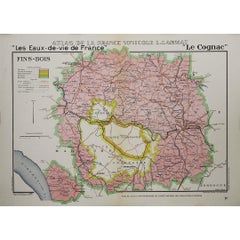
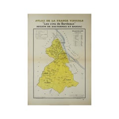
1941 original map "Les vins de Bordeaux - Régions de Sauternes" by Larmat

1941 original map "Les vins de Bordeaux - Régions de Sauternes" by Larmat

By Louis Larmat

Located in PARIS, FR

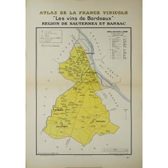
The 1941 original map by L. Larmat, titled "Atlas de la France vinicole – Les vins de Bordeaux: Régions de Sauternes et Barsac", provides an intricate and precise depiction of two of...

Category

1940s Louis Larmat Art

Materials

Paper, Lithograph
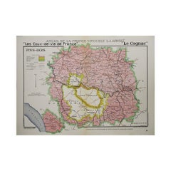
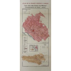
1943 original map "Les vins des Côtes du Rhône" by Larmat

1943 original map "Les vins des Côtes du Rhône" by Larmat

By Louis Larmat

Located in PARIS, FR

The 1943 original map by L. Larmat, titled "Les vins des Côtes du Rhône", is part of the comprehensive "Atlas de la France Vinicole" series, which meticulously charts France’s most r...

Category

1940s Louis Larmat Art

Materials

Paper, Lithograph
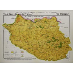
1943 original map "Les vins des Côtes du Rhône - Groupe Meridional"

1943 original map "Les vins des Côtes du Rhône - Groupe Meridional"

By Louis Larmat

Located in PARIS, FR

The 1943 original map by L. Larmat from the "Atlas de la France Vinicole" series, titled "Les vins des Côtes du Rhône - Groupe Méridional", is a significant cartographic depiction of...

Category

1940s Louis Larmat Art

Materials

Paper, Lithograph
Related Items
"Young Spanish Peasant" 1970 Pablo Picasso Hand Signed Color Lithograph /150

"Young Spanish Peasant" 1970 Pablo Picasso Hand Signed Color Lithograph /150

By Pablo Picasso

Located in Yardley, PA

About this work: Among the most engaging images of Picasso’s final years, "Young Spanish Peasant" combines the unmistakable shorthand of his late draftsmanship with a particularly ap...

Category

1970s Modern Louis Larmat Art

Materials

Paper, Lithograph
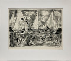
A Dynamic Modern Lithograph "Afternoon Race, Edgartown" by Artist Francis Chapin

A Dynamic Modern Lithograph "Afternoon Race, Edgartown" by Artist Francis Chapin

By Francis Chapin

Located in Chicago, IL

A dynamic Modern lithograph of a sailing regatta in Martha's Vineyard, "Afternoon Race, Edgartown", by notable Chicago artist, Francis Chapin. Image size: 14 1/2" x 19 3/4". Archi...

Category

1960s American Modern Louis Larmat Art

Materials

Lithograph, Paper

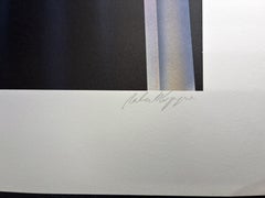
Robert Hoppe, Rooftop Serenade, 1987

Robert HoppeRobert Hoppe, Rooftop Serenade, 1987, 1987

$1,036Sale Price|20% Off

H 32 in W 23 in

Robert Hoppe, Rooftop Serenade, 1987

By Robert Hoppe

Located in Fairfield, CT

Artist: Robert Hoppe Title: Rooftop Serenade Year: 1987 Medium: Lithograph in colors on velin paper Edition: AP; 390 Paper size: 32 x 23 inches (81.28 x 58.42 cm) Condition: Well pre...

Category

1980s Art Deco Louis Larmat Art

Materials

Paper, Lithograph
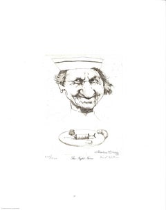
Charles Bragg, The Night Nurse, from Medical Suite I, 1969

Charles Bragg, The Night Nurse, from Medical Suite I, 1969

By Charles Bragg

Located in Fairfield, CT

Artist: Charles Bragg Title: The Night Nurse Year: 1969 Medium: Duotone lithograph Edition: 871/1000 Paper size: 11 x 14 inches overall (27.94 x 35.56 cm overall) Condition: Well pre...

Category

1960s American Realist Louis Larmat Art

Materials

Paper, Lithograph, Offset

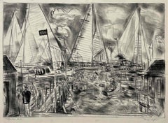
A 1950s Lithograph of Martha's Vineyard, "Edgartown Harbor" by Francis Chapin

A 1950s Lithograph of Martha's Vineyard, "Edgartown Harbor" by Francis Chapin

By Francis Chapin

Located in Chicago, IL

A dynamic 1950s sailing scene of Martha's Vineyard, "Edgartown Harbor" by notable Chicago Modern artist Francis Chapin. Image size: 14 3/4 x 19 3/4 inches; archivally matted to 2...

Category

1950s American Modern Louis Larmat Art

Materials

Lithograph, Paper

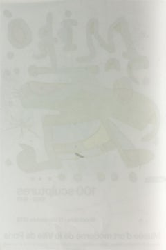
Original lithograph poster for "Miro 100 Sculptures 1962-1978" 1978 exhibition

Original lithograph poster for "Miro 100 Sculptures 1962-1978" 1978 exhibition

By Joan Miró

Located in Boca Raton, FL

Original poster for 1978 "Miró 100 sculptures 1962-1978" exhibition of sculptures by Joan Miró. Purchased from the Musée d'art moderne de la Ville de Paris. Beautifully printed litho...

Category

1970s Modern Louis Larmat Art

Materials

Paper, Lithograph
Robert Hoppe, Pegasus, 1988

Robert HoppeRobert Hoppe, Pegasus, 1988, 1988

$1,036Sale Price|20% Off

H 32.75 in W 25 in

Robert Hoppe, Pegasus, 1988

By Robert Hoppe

Located in Fairfield, CT

Artist: Robert Hoppe Title: Pegasus Year: 1988 Medium: Lithograph in colors on velin paper Edition: CXVIII/CXLVI (118/146) Paper size: 32.75 x 25 inches (83.19 x 63.5 cm) Condition: ...

Category

1980s Art Deco Louis Larmat Art

Materials

Paper, Lithograph
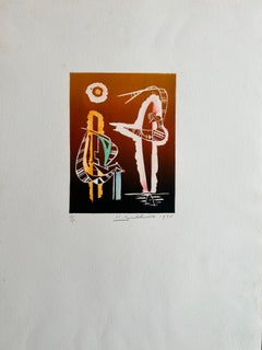
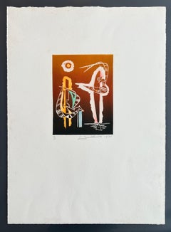
Untitled lithograph by Hans Burkhardt

Untitled lithograph by Hans Burkhardt

By Hans Burkhardt

Located in Hudson, NY

Abstract lithograph by Hans Burkhardt. Image is 7 3/4" x 6" and sheet size is 21" x 14 1/4". The edition is 3/5. Marked with both the artist's signature and date (H. Burkhardt 1975,...

Category

1970s Abstract Louis Larmat Art

Materials

Paper, Lithograph
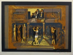
French Lithograph - The Venue

French Lithograph - The Venue, Circa 1960

$500

H 30 in W 0.1 in D 24 in

French Lithograph - The Venue

Located in Houston, TX

Warmly hued French lithograph of couples dancing and enjoying live music at elegant venue by artist Torrallardona, circa 1960. Signed lower right and...

Category

1960s Louis Larmat Art

Materials

Ink, Lithograph, Paper

Lithograph - The Trio

Lithograph - The Trio, Circa 1960

$250

H 20 in W 16 in D 0.1 in

Lithograph - The Trio

Located in Houston, TX

Excellent black and white lithograph of a trio of intriguing figures by S. Moutarde, circa 1960. Signed lower right and numbered 47 of 50 lower left. Original artwork on paper disp...

Category

1960s Louis Larmat Art

Materials

Paper, Lithograph
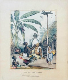
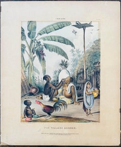
India Listed artist 19th Century Hand Coloured Lithograph Village scene palms
India Listed artist 19th Century Hand Coloured Lithograph Village scene palms
Located in Norfolk, GB

A 19th century, hand coloured lithograph, the colours fresh and in good condition for its age. Artist: Captain Philip Meadows Medium: Hand coloured lithograph Plate 6 Created: 1842 Paper Size: 39 x 32.5 cm Plate Size: 27.5 x 21.2 cm With the description sheet on verso TAYLOR, Captain Philip Meadows (1808-1876). Plate from Sketches in the Deccan. London: published by J McLean 1842 Plate 6 From a series of views of the Deccan, at this time the state of Hyderabad. The suite of plates includes views, scenes and settings of places and buildings at Goa, Arungabad, Tooljapoor, Golcondag, Hyderabad, Ellors, Rozah, and the Tandoor hills, among others. Meadows Taylor arrived in India as a young man to work with a Bombay merchant, but quickly accepted a military commission...
Category

1840s Other Art Style Louis Larmat Art

Materials

Paper, Lithograph
Previously Available Items
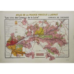
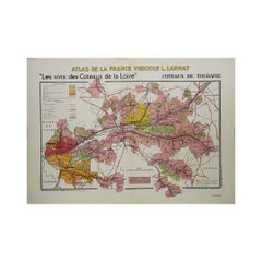
1946 original map "Les vins des côteaux de la Loire -Côteaux de Touraine" Larmat

1946 original map "Les vins des côteaux de la Loire -Côteaux de Touraine" Larmat

By Louis Larmat

Located in PARIS, FR

The 1946 map Atlas de la France Vinicole - Les Vins des Côteaux de la Loire: Côteaux de Touraine, created by the esteemed cartographer Louis Larmat and printed by Dorel in Paris, pro...

Category

1940s Louis Larmat Art

Materials

Paper, Lithograph
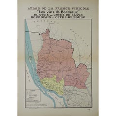
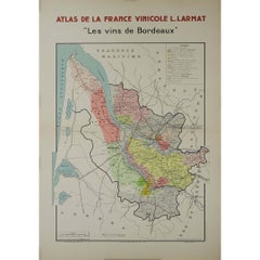
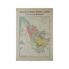
1941 original map "Atlas de la France vinicole - Les vins de Bordeaux" by Larmat

1941 original map "Atlas de la France vinicole - Les vins de Bordeaux" by Larmat

By Louis Larmat

Located in PARIS, FR

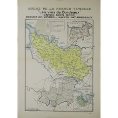
The 1941 original map by L. Larmat, titled "Atlas de la France vinicole – Les vins de Bordeaux", is part of a renowned series that visually mapped the most famous wine regions of Fra...

Category

1940s Louis Larmat Art

Materials

Paper, Lithograph

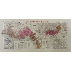
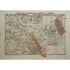
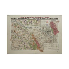
1944 original map "Les vins de Champagne – Montagne de Reims & Vallée de l'Ardre

1944 original map "Les vins de Champagne – Montagne de Reims & Vallée de l'Ardre

By Louis Larmat

Located in PARIS, FR

The 1944 original map "Atlas de la France Vinicole – Les vins de Champagne – Montagne de Reims & Vallée de l'Ardre", created by Louis Larmat and printed by Dorel in Paris, is an exqu...

Category

1940s Louis Larmat Art

Materials

Paper, Lithograph

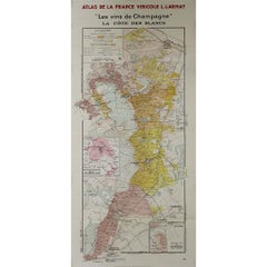
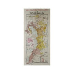
1944 original map "Les vins de Champagne – La côte des blancs" by Louis Larmat

1944 original map "Les vins de Champagne – La côte des blancs" by Louis Larmat

By Louis Larmat

Located in PARIS, FR

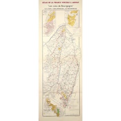
The 1944 original map "Atlas de la France Vinicole – Les vins de Champagne – La Côte des Blancs" by Louis Larmat is a historically significant and beautifully crafted piece of French vinous cartography. Part of Larmat's celebrated "Atlas de la France Vinicole", this map specifically focuses on the Côte des Blancs, one of Champagne's most prestigious sub-regions, renowned for its exceptional Chardonnay vineyards. Printed by Dorel in Paris, this map stands as both a functional tool for understanding Champagne’s wine geography and a work of art, capturing the essence of the region’s terroir. Louis Larmat was a distinguished French cartographer and oenologist, whose meticulous work in creating detailed maps of France's wine regions earned him a lasting legacy in the world of viticulture. His maps, including the one of La Côte des Blancs, were revolutionary at the time for their precision, detail, and artistic presentation. These maps provided winemakers, merchants, and connoisseurs with essential knowledge about the intricate vineyard landscapes that define the unique qualities of France’s wines. The Côte des Blancs, located south of Épernay, is world-famous for its Chardonnay vineyards, which produce some of the finest Blanc de Blancs Champagnes. Larmat’s map of this region showcases the specific villages and vineyard locations that contribute to the unique character of these wines. Villages such as Avize, Cramant, Le Mesnil-sur-Oger, and Oger are featured prominently, each known for producing grapes with distinct qualities due to the area’s chalky soils and cool climate. These attributes, illustrated in fine detail on the map, play a critical role in the crispness, finesse, and minerality that are hallmarks of the region's Chardonnay-based wines. Larmat’s "Côte des Blancs" map is a detailed representation of the topography of the region. It shows the rolling hills, chalk-rich subsoil, and the geographic features that are so crucial to Champagne’s terroir. The map highlights how the vineyards benefit from the exposure to the sun on the east-facing slopes, which is crucial for ripening the Chardonnay grapes. The careful shading and line work reflect the elevation and natural contours of the land, helping the viewer understand the climatic and soil conditions that make La Côte des Blancs such a prized area for viticulture. The Côte des Blancs region is especially important in Champagne production, as it is the primary source of grapes used to make Blanc de Blancs Champagnes, which are crafted exclusively from Chardonnay grapes. These wines are known for their elegance, freshness, and longevity, and Larmat’s map emphasizes the geographic factors that contribute to these qualities. The representation of key vineyards and their surrounding features offers insight into why this area is so highly regarded for Chardonnay production. Printed by Dorel in Paris in 1944, this map holds historical significance beyond its geographical content. Produced during the tumultuous final years of World War II, the map reflects the resilience and cultural importance of French winemaking during a challenging time in the country’s history. Despite the war’s disruptions, France’s dedication to documenting and preserving its wine heritage persisted, and Larmat’s maps, including this one of the Côte des Blancs, stand as a testament to that effort. The Larmat "Atlas de la France Vinicole" series was groundbreaking for its era, providing comprehensive and scientifically accurate maps of France’s wine...

Category

1940s Louis Larmat Art

Materials

Paper, Lithograph

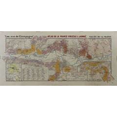
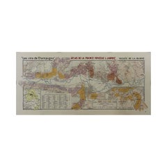
1944 original map "Les vins de Champagne – Vallée de la Marne" by Louis Larmat

1944 original map "Les vins de Champagne – Vallée de la Marne" by Louis Larmat

By Louis Larmat

Located in PARIS, FR

The 1944 original map "Atlas de la France Vinicole – Les vins de Champagne – Vallée de la Marne" by Louis Larmat is a masterful example of mid-20th-century French wine cartography. P...

Category

1940s Louis Larmat Art

Materials

Paper, Lithograph

Louis Larmat art for sale on 1stDibs.

Find a wide variety of authentic Louis Larmat art available for sale on 1stDibs. You can also browse by medium to find art by Louis Larmat in lithograph, paper and more. Not every interior allows for large Louis Larmat art, so small editions measuring 18 inches across are available. Louis Larmat art prices can differ depending upon medium, time period and other attributes. On 1stDibs, the price for these items starts at $884 and tops out at $1,296, while the average work can sell for $1,178.