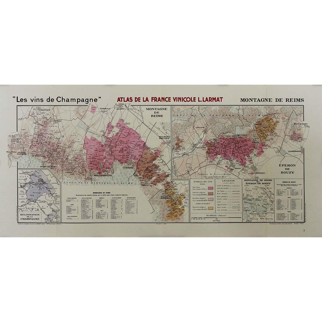
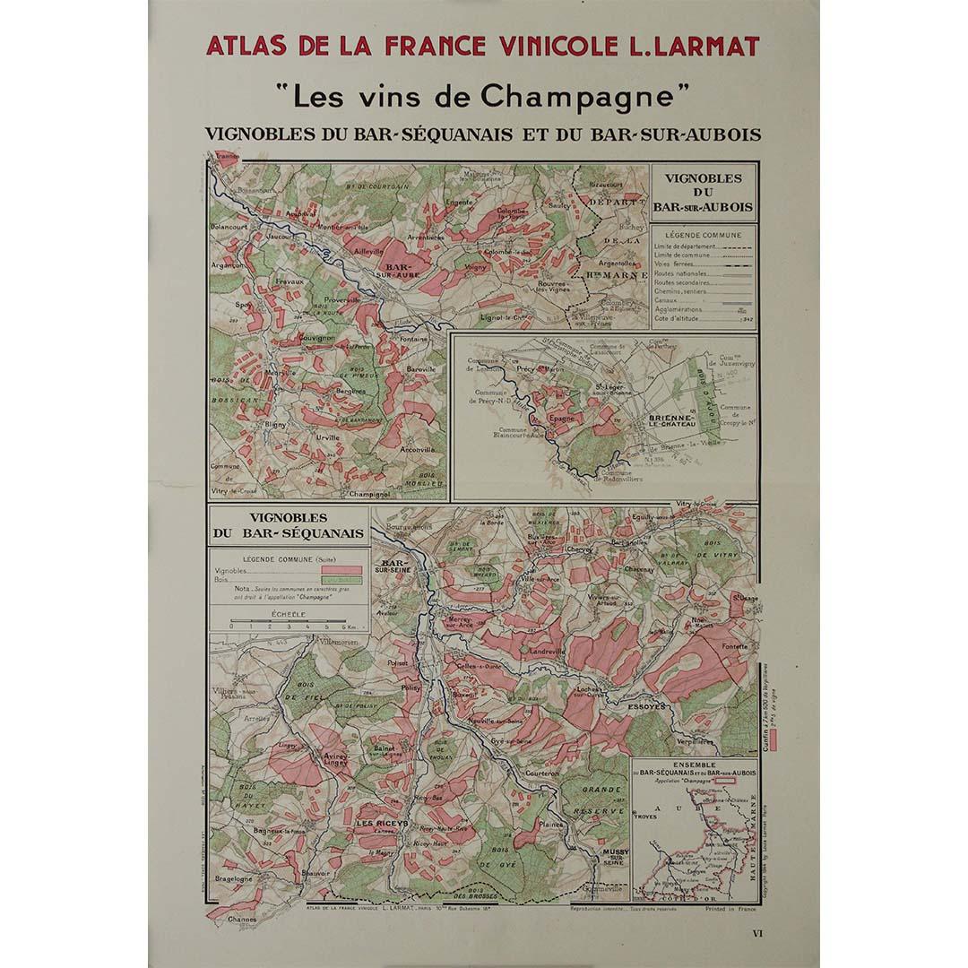
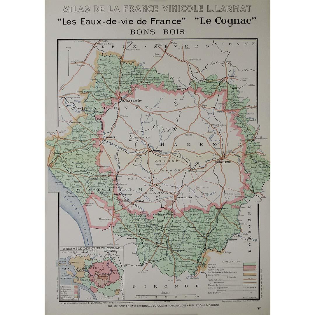
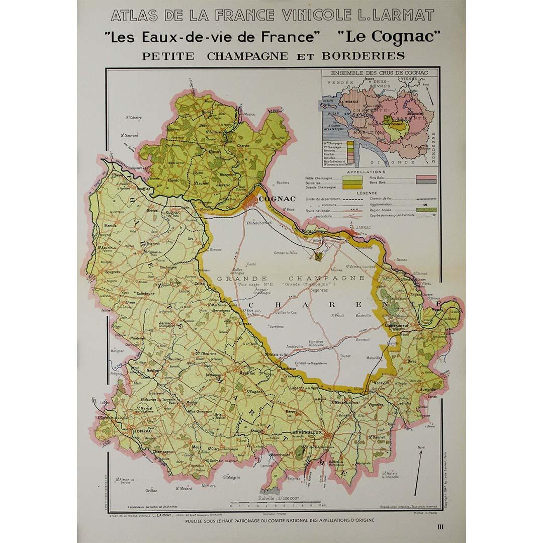
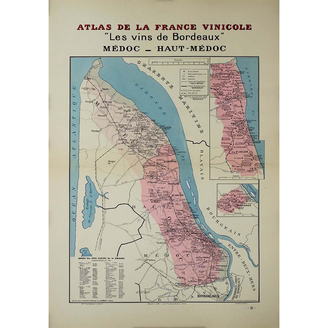
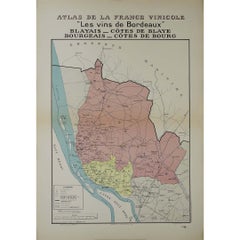
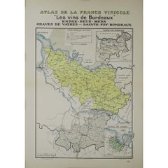
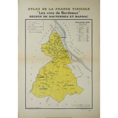
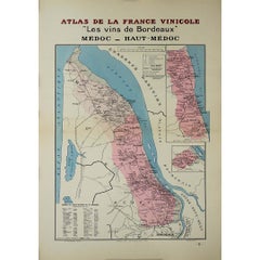
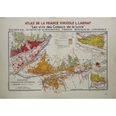
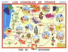
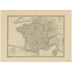
In 1941, L. Larmat crafted an exquisite map titled Atlas de la France Vinicole: Les Vins de Bordeaux - Loupiac, Sainte-Croix-du-Mont, Ières Côtes de Bordeaux, Côtes de Bordeaux St. Macaire, printed by Dorel in Paris. This map serves as both a detailed geographical guide and a valuable resource for understanding the wine regions surrounding Bordeaux.
Created during a challenging period in French history, marked by the tumult of World War II, the map reflects the resilience of the Bordeaux wine industry. Despite the backdrop of conflict, the region’s viticultural traditions endured, showcasing the importance of winemaking in Bordeaux's cultural landscape. The region itself, known for its deep-rooted history in wine production, remains one of the world’s most esteemed wine areas, and this map captures its essence just before significant post-war changes.
Larmat’s map is distinguished by its meticulous detail, presenting the various wine appellations that encompass Loupiac, Sainte-Croix-du-Mont, Ières Côtes de Bordeaux, and Côtes de Bordeaux St. Macaire. Each area is highlighted with vineyard locations, illustrating the specific grape varieties cultivated and the unique terroirs that contribute to the flavor profiles of the wines produced there.
The map also includes vital topographical features such as rivers, roads, and towns, which are essential for understanding the geography of wine production in the region. The presence of the Garonne River, along with the surrounding landscape, significantly influences the climate and soil, directly impacting the viticulture of the area.
The use of color throughout the map not only enhances its aesthetic appeal but also helps to differentiate the various wine regions, allowing readers to navigate the complex landscape of Bordeaux’s viticulture with ease.
Since its release, Larmat’s map has become an invaluable resource for wine enthusiasts, historians, and collectors. It encapsulates the viticultural identity of Bordeaux and serves as a historical document that reflects the wine production practices and regional distinctions of its time. The accurate depiction of these wine areas provides insight into traditional vineyard practices and how they have evolved over the decades, making it a significant reference for both current winemakers and those studying the region's history.
Moreover, the map plays a crucial role in promoting Bordeaux wines to an international audience. By clearly illustrating the distinct regions and their unique characteristics, it educates wine lovers about the exceptional qualities of Bordeaux wines, fostering a deeper appreciation for the region's diverse offerings.
In summary, L. Larmat's Atlas de la France Vinicole: Les Vins de Bordeaux - Loupiac, Sainte-Croix-du-Mont, Ières Côtes de Bordeaux, Côtes de Bordeaux St. Macaire stands as a testament to the rich heritage and culture of Bordeaux wines. As both a historical artifact and a practical guide, this 1941 map continues to inspire interest and admiration for one of the world’s most celebrated wine regions. Its detailed representation of the terroirs, combined with the historical context of its creation, makes it an essential piece for anyone keen to explore the heritage of French viticulture.
Original Poster
Alcohol - Map - Gironde - France
Dorel - Paris