Want more images or videos?
Request additional images or videos from the seller.

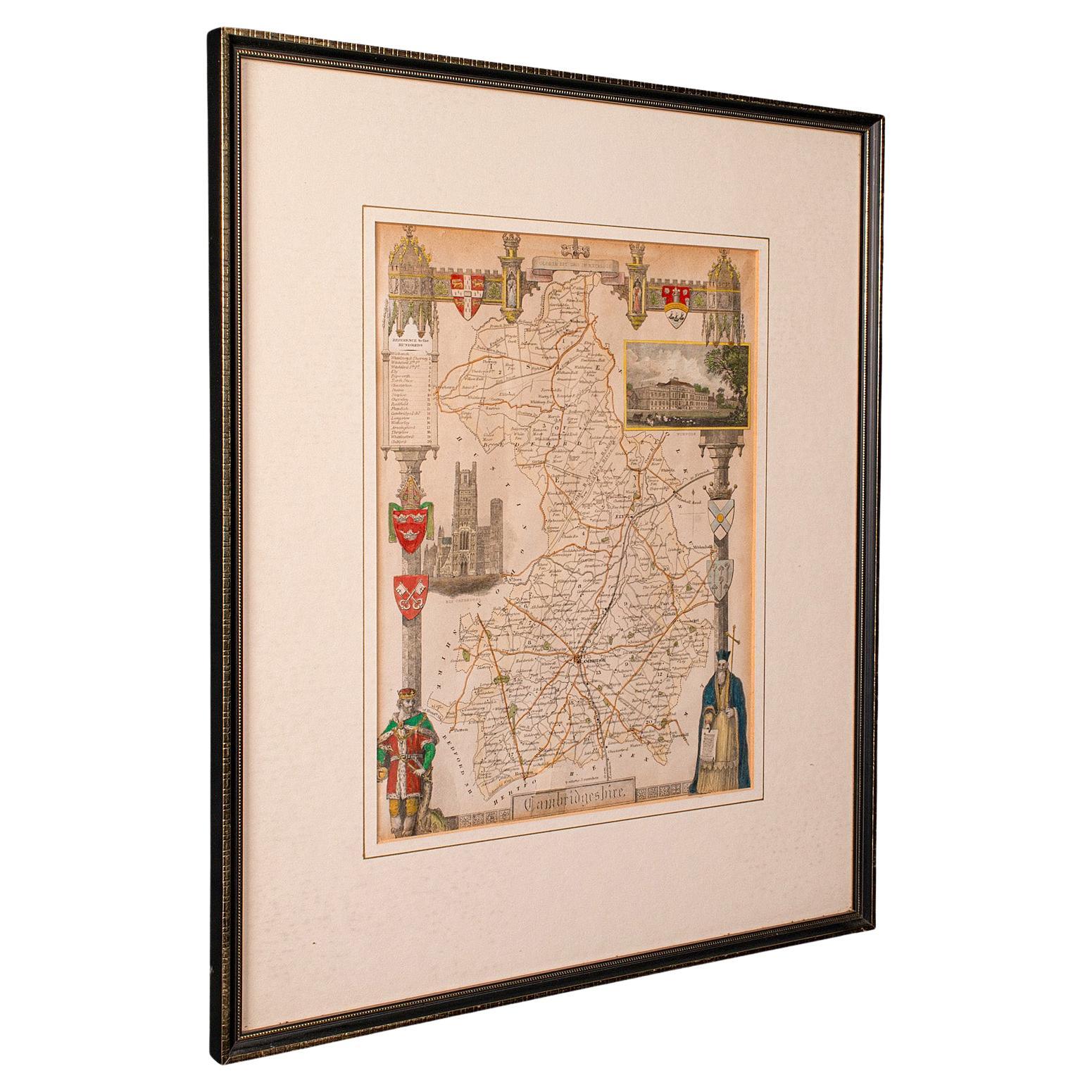
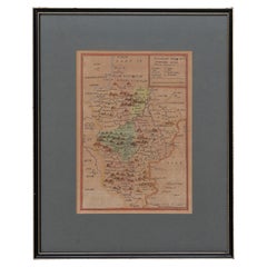
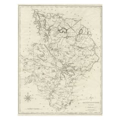
Cambridgeshire J Cary

$809.84
£600
€732.08
CA$1,154.64
A$1,190.34
CHF 676.34
MX$15,067.59
NOK 7,745.09
SEK 8,113.94
DKK 5,472.74

About the Item

Cambridgeshire published may 1 1814 engraver no 181 strand Maker John Cary c. 1754 – 1835.
  • Creator:
    John Cary (Artist)
  • Dimensions:
    Height: 8.67 in (22 cm)Width: 6.7 in (17 cm)Depth: 0.6 in (1.5 cm)
  • Style:
    Georgian (Of the Period)
  • Materials and Techniques:
  • Place of Origin:
  • Period:
  • Date of Manufacture:
    1814
  • Condition:
    Wear consistent with age and use.
  • Seller Location:
    BUNGAY, GB
  • Reference Number:
    1stDibs: LU3867332633732

More From This Seller

View All
Map Shropshire Joseph Ellis Robert Sayer Carington Bowles Framed

Map Shropshire Joseph Ellis Robert Sayer Carington Bowles Framed

Located in BUNGAY, SUFFOLK

A modern map of Shropshire Drawn from the latest surveys corrected and improved by the best authorities. Artist Joseph Ellis sculptor. Joseph Ellis was an engraver and publisher from Clerkenwell in London and was apprenticed to Richard William Seale in 1749. He is best know to county map collectors for The New English Atlas published in 1765 which was later reissued as Ellis's English Atlas in 1766, 1768 1777, 1786, 1790 and 1796. Maker carington bowles 1724 - 1793. Carington Bowles worked in London as a publisher in partnership with his father John Bowles from about 1752 until 1763. Carington Bowles worked as a publisher in partnership with his father John Bowles from about 1752 until 1763 before taking over his uncle's business. His address was 69 St. Pauls Church Yard, London. He worked with a number of well known cartographers of the day including Emanuel Bowen, Thomas Kitchin, Robert Sayer...

Category

Antique 18th Century English Georgian Maps

Materials

Paper

Map Bedfordshire General Framed

Map Bedfordshire General Framed

Located in BUNGAY, SUFFOLK

A general map of Bedfordshire with its hundreds A scale of 5 miles in the original green mount and traditional black and gold frame. Measures: 36cm 14" high.

Category

Antique 18th Century English Georgian Maps

Materials

Paper

Map Bedfordshire No 3 General Framed

Map Bedfordshire No 3 General Framed

Located in BUNGAY, SUFFOLK

A general map of Bedfordshire with its hundreds. Measure: 37cm 14 1/2" high A scale of 5 miles. in the original green mount and traditional black and gold frame. charming map with...

Category

Antique 18th Century English Georgian Maps

Materials

Paper

Map Southern Scotland Thomas Conder Alex Hogg 1795

Map Southern Scotland Thomas Conder Alex Hogg 1795

Located in BUNGAY, SUFFOLK

A new map of the southern part of Scotland containing the counties of Stirling, Lanerk, Renfrew, Linlithgow, Edinburgh, Peebles, Haddingtoun, Berwick, Selkirk, Roxburgh, Dumfries, Wigtoun, Kirkudbright & Air Published by Alex Hogg at the Kings Arms...

Category

Antique 18th Century English Georgian Maps

Materials

Paper

Map Kyle Carrick Aireshire Thomas Kitchen 1749

Map Kyle Carrick Aireshire Thomas Kitchen 1749

By Thomas Kitchin

Located in BUNGAY, SUFFOLK

A Map of Kyle & Carrick Aireshire Thomas Kitchen 1749 In original black and gold frame Just purchased more information to follow MAKER Thomas Kitchin (1718-1784) English engrave...

Category

Antique 18th Century English Georgian Maps

Materials

Paper

Map Suffolk Southwold Aldeburgh Dunwich Bawdsey Harwich  Ipswich

Map Suffolk Southwold Aldeburgh Dunwich Bawdsey Harwich Ipswich

Located in BUNGAY, SUFFOLK

Map Suffolk including many popular destinations on the coast Southwold, Dunwich, Aldeburgh bawdsey felixstowe harwich ipswich. Charming topography and colouring. In the original fr...

Category

Antique 19th Century European Georgian Maps

Materials

Paper

You May Also Like

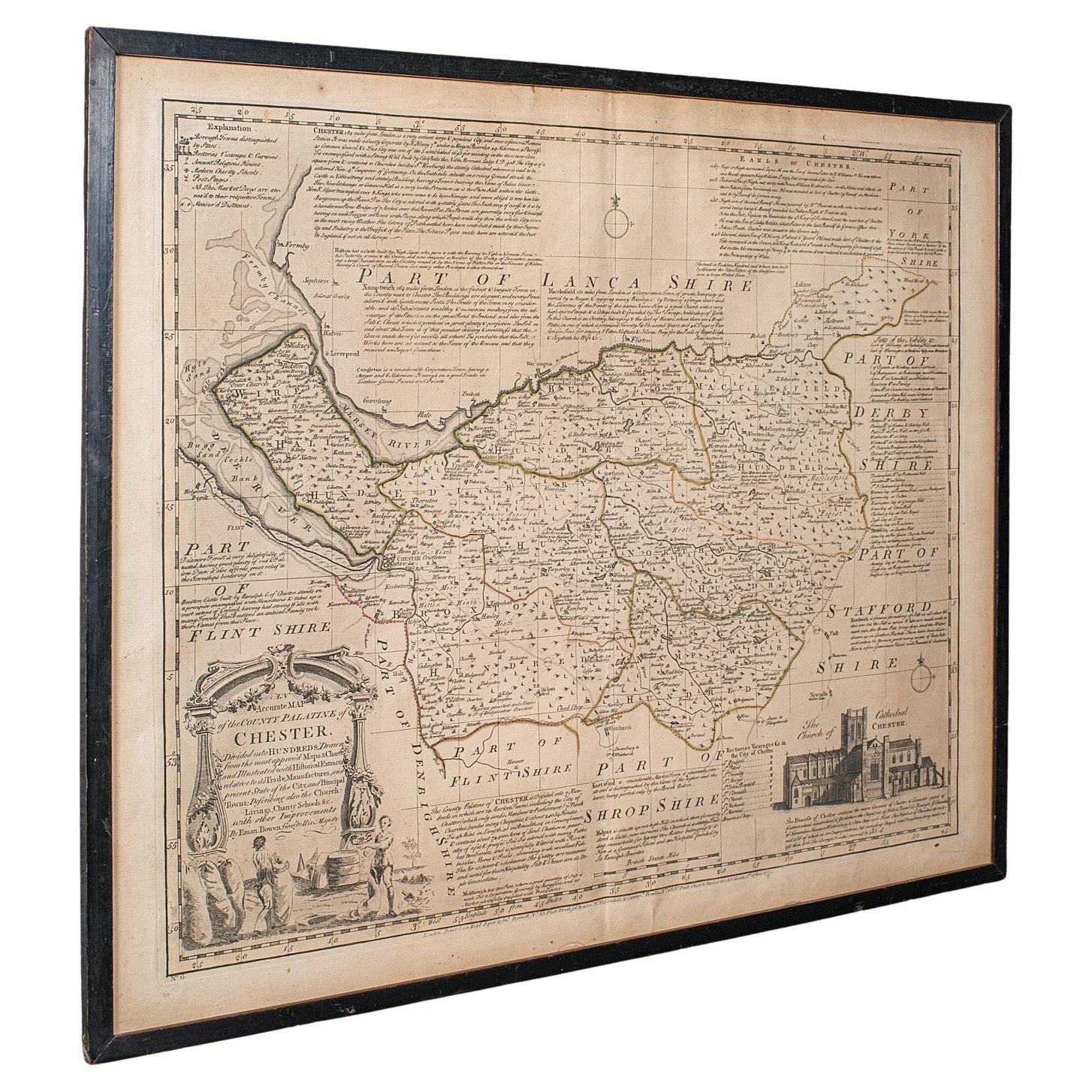
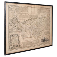
Antique Chester County Map, English, Cheshire, Framed Cartography, Georgian

Antique Chester County Map, English, Cheshire, Framed Cartography, Georgian

Located in Hele, Devon, GB

This is an antique Palantine of Chester county map. An English, framed atlas engraving of Cheshire by Emanuel Bowen, dating to the 18th century and later, circa 1770. Superb cartog...

Category

Antique 1770s British Georgian Maps

Materials

Glass, Paper

Original Antique English County Map, Cambridgeshire, J & C Walker, 1851

Original Antique English County Map, Cambridgeshire, J & C Walker, 1851

Located in St Annes, Lancashire

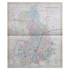
Great map of Cambridgeshire Original colour By J & C Walker Published by Longman, Rees, Orme, Brown & Co. 1851 Unframed.

Category

Antique 1850s English Other Maps

Materials

Paper

Large Antique County Map of Cambridgeshire, England

Large Antique County Map of Cambridgeshire, England

Located in Langweer, NL

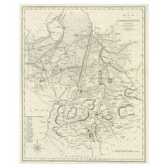
Antique map titled 'A Map of Cambridgeshire from the best Authorities'. Original old county map of Cambridgeshire, England. Engraved by John Cary. Originates from 'New British Atlas'...

Category

Antique Early 19th Century Maps

Materials

Paper

Large Antique Map of Cambridgeshire by Emanuel Bowen, circa 1760

Large Antique Map of Cambridgeshire by Emanuel Bowen, circa 1760

Located in Langweer, NL

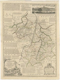
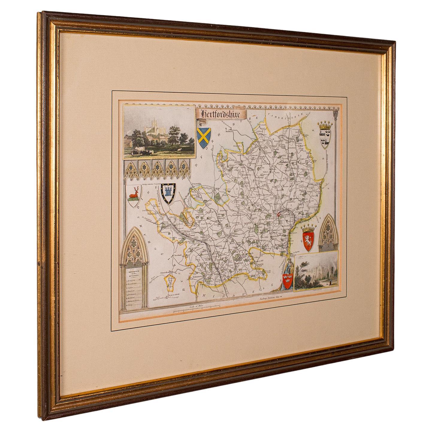
TITLE: Large Antique Map of Cambridgeshire by Emanuel Bowen, circa 1760 DESCRIPTION: A large and highly detailed 18th-century county map by Emanuel Bowen, titled “An Accurate Map of Cambridgeshire Divided into its Hundreds,” published circa 1760 by J. Tinney, T. Bowles, John Bowles & Son and Robert Sayer for the celebrated Large English Atlas. The map divides Cambridgeshire into its historic Hundreds and provides an exceptionally detailed record of the county during the Georgian period. Cambridge occupies a central position, surrounded by numerous villages, roads, rivers, estates and other geographical features, while extensive engraved annotations provide historical and topographical information characteristic of Bowen’s highly informative style. Particularly attractive is the inset prospect of Ely, with Ely Cathedral dominating the skyline. The map also incorporates an elaborate decorative cartouche and retains contemporary outline coloring, subtly distinguishing the historic administrative divisions. Emanuel Bowen (1693/94–1767) was one of the most important British cartographers and engravers of the 18th century. He held the unusual distinction of serving as engraver to both King George II of Great Britain and Louis XV of France. His maps are particularly admired for combining geographical information with extensive historical, economic and topographical commentary. The Large English Atlas was one of the most ambitious English county atlases of the 18th century. Its maps were produced on an unusually large scale, allowing considerably more geographical and historical information to be included than in many contemporary county atlases. At approximately 70.5 × 52.5 cm (27.8 × 20.7 in.), this is an impressive original Georgian map with considerable decorative presence when framed. An excellent piece for collectors of Cambridgeshire, Cambridge, Ely and English cartography, as well as for a library, study or traditional or contemporary interior. ARTIST / MAKER: Emanuel Bowen (1693/94–1767) PUBLISHERS: J. Tinney, T. Bowles, John Bowles & Son and Robert Sayer DATE: Circa 1760 ORIGIN: London, England MEDIUM: Copper engraving on paper with contemporary outline coloring DIMENSIONS: Approximately 70.5 × 52.5 cm (27.8 × 20.7 in.) STYLE / PERIOD: Georgian, 18th Century CONDITION: Good antique condition. Faint vertical fold consistent with its original atlas publication. Expected minor signs of age and handling. Please examine the photographs carefully for the condition of the individual sheet. FRAME / PRESENTATION: Unframed. Any framed or interior images shown are for presentation and inspiration only. PROVENANCE / REFERENCES: Originally published in The Large English Atlas, one of the most important English county atlases of the 18th century. KEYWORDS: Emanuel Bowen, Cambridgeshire map, Cambridge map...

Category

Antique Mid-18th Century English Georgian Maps
Materials

Paper

Large Antique County Map of Huntingdonshire, England

Large Antique County Map of Huntingdonshire, England

Located in Langweer, NL

Antique map titled 'A Map of Huntingdonshire from the best Authorities'. Original old county map of Huntingdonshire, England. Engraved by John Cary. Originates from 'New British Atla...

Category

Antique Early 19th Century Maps

Materials

Paper

Antique Lithography Map, Buckinghamshire, English, Framed Cartography, Victorian

Antique Lithography Map, Buckinghamshire, English, Framed Cartography, Victorian

Located in Hele, Devon, GB

This is an antique lithography map of Buckinghamshire. An English, framed atlas engraving of cartographic interest, dating to the mid 19th century and later. Superb lithography of B...

Category

Antique Mid-19th Century British Victorian Maps

Materials

Wood, Paper