Want more images or videos?
Request additional images or videos from the seller.

Black Map of North America by W&A K Johnston, 1920, Industrial Style

$978.56
£870VAT Included
€884.60
CA$1,395.19
A$1,438.33
CHF 817.25
MX$18,206.67
NOK 9,358.65
SEK 9,804.34
DKK 6,612.89

About the Item

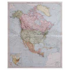
University Chart “Black Map of North America W&A K Johnston’s Charts of Physical Maps By G W Bacon, This is a Black Physical map of North America, it is large lithograph set on Linen mounted on wooden rods, the chart is in very good bright condition, it is 43” high and 36” wide GB125
  • Dimensions:
    Height: 43 in (109.22 cm)Width: 36 in (91.44 cm)Depth: 1 in (2.54 cm)
  • Style:
    Industrial (In the Style Of)
  • Materials and Techniques:
  • Period:
  • Date of Manufacture:
    1920
  • Condition:
  • Seller Location:
    Godshill, GB
  • Reference Number:
    Seller: GB1251stDibs: LU2498321501152

More From This Seller

View All
Large University Chart “Political Map of North America” by Bacon

Large University Chart “Political Map of North America” by Bacon

Located in Godshill, Isle of Wight

Large University Chart “Political Map of North America” by Bacon W&A K Johnston’s Charts of Physical Maps By G W Bacon, This is colourful Physical map ...

Category

Early 20th Century American Empire Posters

Materials

Linen
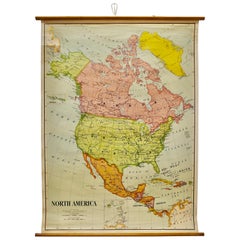
Large University Chart “Political Map of North America” by Bacon

Large University Chart “Political Map of North America” by Bacon

Located in Godshill, Isle of Wight

Large University chart “Political Map of North America” by Bacon W&A K Johnston’s Charts of Political Maps by G W Bacon, This is colorful Physical ...

Category

Early 20th Century American Empire Posters

Materials

Linen
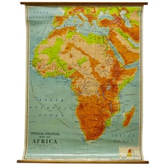
W&A K Johnston’s Charts of Physical Maps by G W Bacon

W&A K Johnston’s Charts of Physical Maps by G W Bacon

Located in Godshill, Isle of Wight

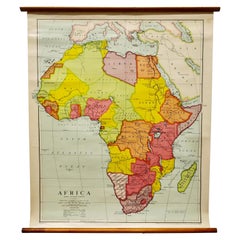
Large University chart “Africa Physical Political” by Bacon W&A K Johnston’s charts of physical maps by G W Bacon, This is a Physical Political map...

Category

Early 20th Century Rustic Posters

Materials

Linen

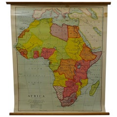
Large University Chart “Africa Physical ” by Bacon

Large University Chart “Africa Physical ” by Bacon

Located in Godshill, Isle of Wight

Large University chart “Africa Physical ” by Bacon W&A K Johnston’s charts of physical maps by G W Bacon, This is a Physical map of Africa, it is lithograph set on Linen mounte...

Category

Early 20th Century Beaux Arts Maps

Materials

Linen

Large University Chart “Physical Map of Africa” by Bacon

Large University Chart “Physical Map of Africa” by Bacon

Located in Godshill, Isle of Wight

Large university chart “Physical Map of Africa” by Bacon W&A K Johnston’s Charts of Physical Maps By G W Bacon, This is colorful Physical map of North America, it is large lithograph set...

Category

Early 20th Century Folk Art Posters

Materials

Linen

Phillips Terrestrial Slate Globe, Brass Stand, Educational, 1950s

Phillips Terrestrial Slate Globe, Brass Stand, Educational, 1950s

Located in Godshill, Isle of Wight

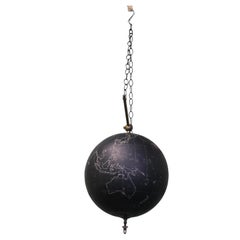
Phillips Terrestrial Slate Globe or World Atlas This is a rare Educational Terrestrial Globe from the 1950s by Phillips it has territorial maps, but the u...

Category

Vintage 1950s Industrial Maps

Materials

Brass

You May Also Like

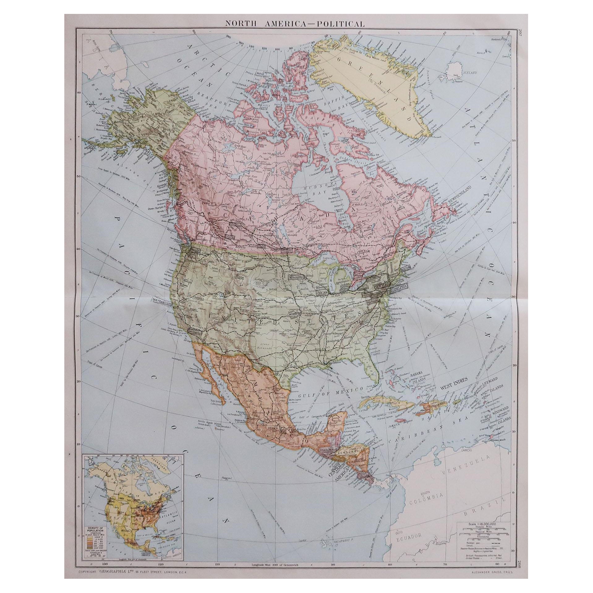
Large Original Vintage Map of North America, circa 1920

Large Original Vintage Map of North America, circa 1920

Located in St Annes, Lancashire

Great map of North America Original color. Good condition Published by Alexander Gross Unframed.  

Category

Vintage 1920s English Edwardian Maps

Materials

Paper

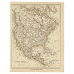
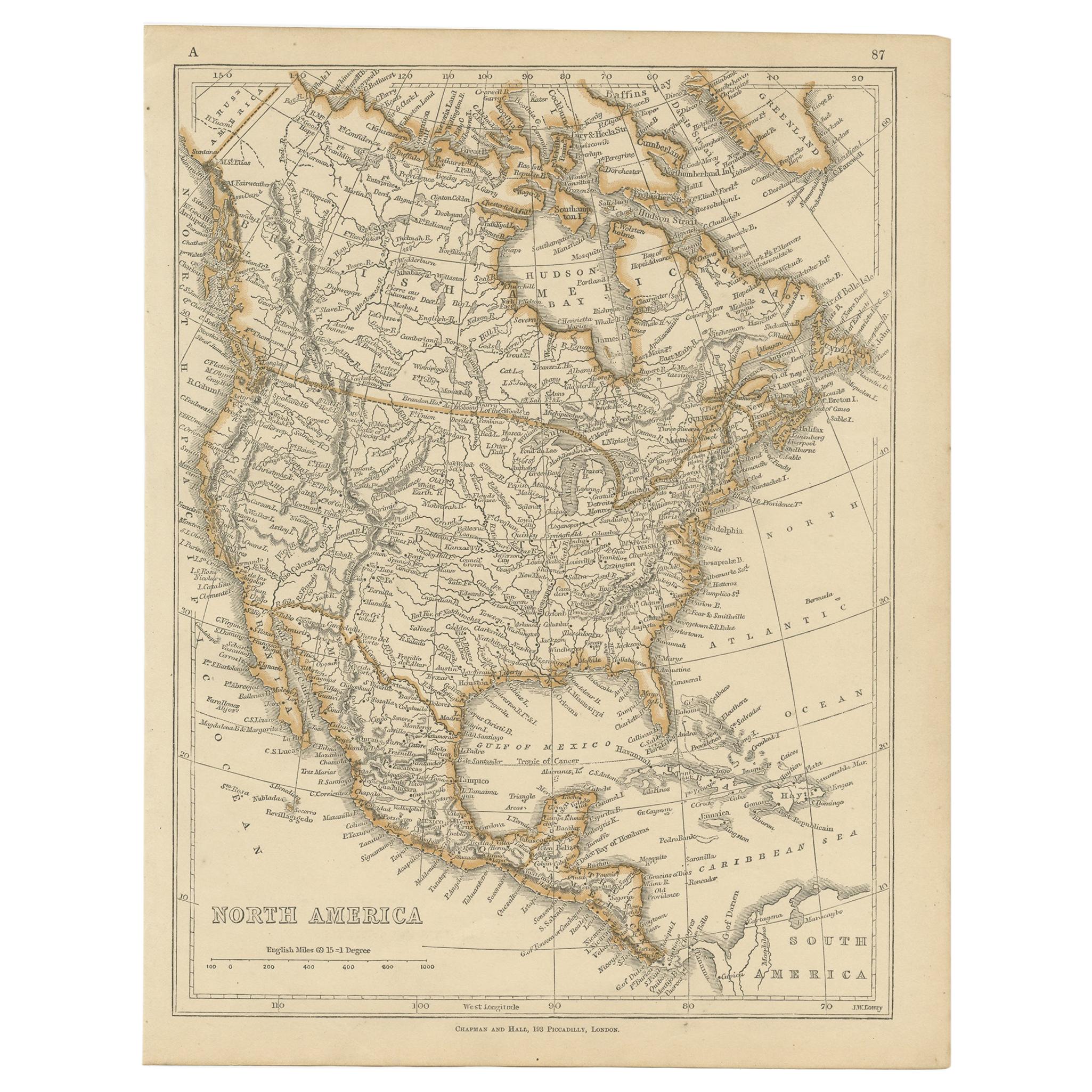
Antique Map of North America by Lowry '1852'

Antique Map of North America by Lowry '1852'

Located in Langweer, NL

Antique map titled 'North America'. Original map of North America. This map originates from 'Lowry's Table Atlas constructed and engraved from the...

Category

Antique Mid-19th Century Maps

Materials

Paper

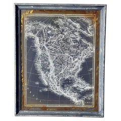
19th Century Monochrome Cartographic Map of North America, Framed

19th Century Monochrome Cartographic Map of North America, Framed

Located in Van Nuys, CA

Vintage-style monochrome map of North America, featuring intricate white cartographic details of North America on a dark background in modern frame. It is similar to contemporary art...

Category

Vintage 1980s American Victorian Prints

Materials

Wood, Paper

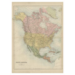
Antique Map of North America by A & C. Black, 1870

Antique Map of North America by A & C. Black, 1870

Located in Langweer, NL

Antique map titled 'North America'. Original antique map of North America. This map originates from ‘Black's General Atlas of The World’. Published by A & C. Black, 1870.

Category

Antique Late 19th Century Maps

Materials

Paper

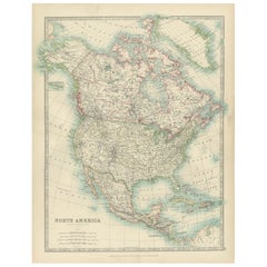
Explore North America in 1903 - Intricately Detailed Antique Map

Explore North America in 1903 - Intricately Detailed Antique Map

Located in Langweer, NL

North America, 1903 - A Colorful Historical Map with Detailed Borders This attractive map of North America was engraved, printed, and published by W. & A.K. Johnston in 1903. A wond...

Category

Early 20th Century Maps

Materials

Paper