Antique Linen Map

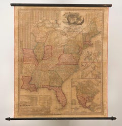
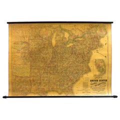
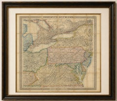
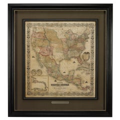
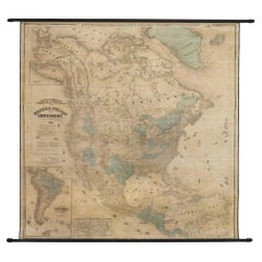
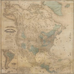
1842 Wall Map of the United States by J. H. Young, Published by S. A. Mitchell

1842 Wall Map of the United States by J. H. Young, Published by S. A. Mitchell

Located in Colorado Springs, CO

Toning and small areas of foxing and stains, mostly in margins. Map has since been stabilized and backed with new archival linen.

Category

1840s American Antique Linen Map

Materials

Paper

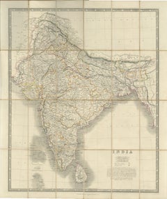
Johnston's Travelling Map of India on Linen in Original Cloth, 1857

Johnston's Travelling Map of India on Linen in Original Cloth, 1857

Located in Langweer, NL

Johnston's Travelling Map of India on Linen in Original Cloth, 1857 An exceptionally rare and historically important travelling map of the Indian subcontinent, published by the reno...

Category

Mid-19th Century British Antique Linen Map

Materials

Paper, Linen

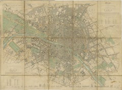
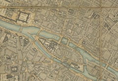
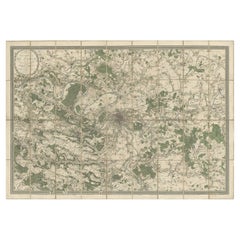
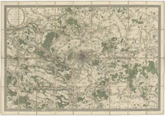
Antique Map Paris, SDUK Plan, Linen Backed, Hand Colored c.1855

Antique Map Paris, SDUK Plan, Linen Backed, Hand Colored c.1855

Located in Langweer, NL

As issued, the map is sectionalised and laid on linen, allowing it to be folded for portability while maintaining durability.

Category

Mid-19th Century British Antique Linen Map

Materials

Paper

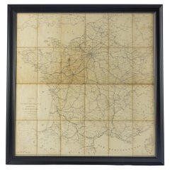
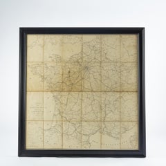
Large 19th Century Map of France

Large 19th Century Map of France

Located in Pease pottage, West Sussex

Large 19th Century Map of France. Remarkable condition, with a pleasing age worn patina. Recently framed. France Circa 1874.

Category

Late 19th Century French Antique Linen Map

Materials

Linen, Paper

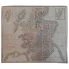
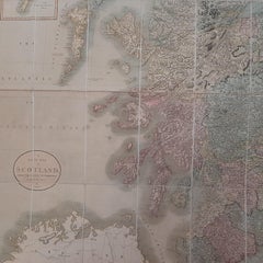
Antique Map of Scotland by Cary, '1811'

Antique Map of Scotland by Cary, '1811'

Located in Langweer, NL

Antique map titled 'A New Map of Scotland from the Latest Authorities': **Title**: A New Map of Scotland from the Latest Authorities **Publisher**: J. Cary **Publication Year**: 181...

Category

Early 19th Century Antique Linen Map

Materials

Linen, Paper

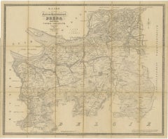
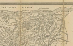
Breda North Brabant Map, Published in 1842 – Antique Dutch Folding Map

Breda North Brabant Map, Published in 1842 – Antique Dutch Folding Map

Located in Langweer, NL

Consider float-mounting to show the original linen panel structure, emphasizing its historical use as a folding map.

Category

Mid-19th Century Dutch Antique Linen Map

Materials

Paper

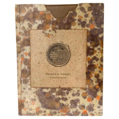
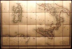
Antique Map of Italy by Andriveau-Goujon, 1843

Antique Map of Italy by Andriveau-Goujon, 1843

By Andriveau-Goujon

Located in New York, NY

Antique Map of Italy by Andriveau-Goujon, 1843. Map of Italy in two parts by Andriveau-Goujon for the Library of Prince Carini at Palazzo Carini in Palermo, circa 1843.

Category

1840s French Antique Linen Map

Materials

Linen, Paper

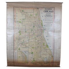
Antique Chicago Illinois National Map Commercial Rollup Classroom Census Map 47"

Antique Chicago Illinois National Map Commercial Rollup Classroom Census Map 47"

Located in Dayton, OH

Published by the National Map Company, Indianapolis, IN. Paper map with linen trim, suspended from rolled metal poles at upper and lower edge.

Category

Early 20th Century North American Antique Linen Map

Materials

Paper

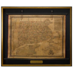
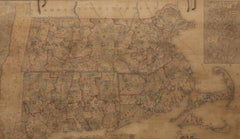
1854 Map of Massachusetts, Connecticut and Rhode Island, Antique Wall Map

1854 Map of Massachusetts, Connecticut and Rhode Island, Antique Wall Map

Located in Colorado Springs, CO

At least some of these companies maintained offices in both Buffalo and New York City. This map has been mounted onto archival linen. Additionally, the map is attached to its origin...

Category

19th Century American Antique Linen Map

Materials

Paper

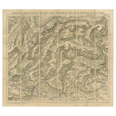
Antique Map of the North-West Frontier by Stanford, 1895

Antique Map of the North-West Frontier by Stanford, 1895

By E. Stanford

Located in Langweer, NL

Linen backed folding map of the North-West Frontier of India from Peshawar to the Pamirs.

Category

Late 19th Century Antique Linen Map

Materials

Linen, Paper

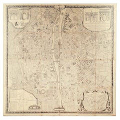
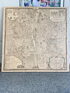
"Plan de Paris" - Antique Recreation of a Map of Paris

"Plan de Paris" - Antique Recreation of a Map of Paris

Located in New York, NY

Taride, whose name appears on the lower right corner. The map has been mounted on linen with a wood stretcher.

Category

Early 20th Century French Louis XIV Antique Linen Map

Materials

Linen, Wood, Paper

Vintage Swedish School Map of Vastergötland, Made in Sweden 1920

Vintage Swedish School Map of Vastergötland, Made in Sweden 1920

Located in Los Angeles, CA

This vintage Swedish school map is so unique and a great example of why these are so collectible.

Category

1920s Swedish Antique Linen Map

Materials

Linen, Wood, Paper

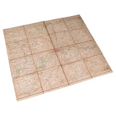
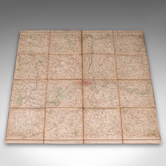
Antique Folding London Map, English, Cartography, Historic, Georgian, Dated 1783

Antique Folding London Map, English, Cartography, Historic, Georgian, Dated 1783

Located in Hele, Devon, GB

This is an antique folding London map. An English, paper on linen cartographical study of the London metropolis and the surrounding area, published in the mid Georgian period, dated ...

Category

Late 18th Century British Georgian Antique Linen Map

Materials

Linen, Paper

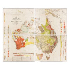
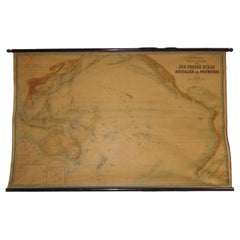
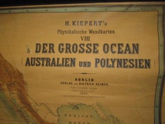
Huge wall lithograph map 1886: Australia, Polynesia, West Coast America, Japan

Huge wall lithograph map 1886: Australia, Polynesia, West Coast America, Japan

By Heinrich Kiepert

Located in Purkersdorf, AT

Original lithograph mounted on linen. The wooden mount is original. Good condition for its age (some minor flaws).

Category

1880s German British Colonial Antique Linen Map

Materials

Linen, Hardwood, Paper

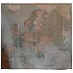
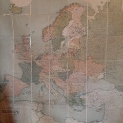
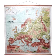
Large Wall Map of Europe by George Philip & Son, circa 1920

Large Wall Map of Europe by George Philip & Son, circa 1920

Located in Langweer, NL

Antique map titled 'Philips' New Commercial Map of Europe'.

Category

Early 20th Century British Antique Linen Map

Materials

Linen, Paper

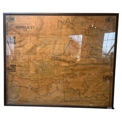
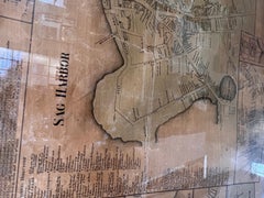
Framed Mid-19th Century Wall Map of Long Island, the Hamptons

Framed Mid-19th Century Wall Map of Long Island, the Hamptons

Located in Sag Harbor, NY

A Framed museum quality find. This large wall map dates to the mid-1800s. Detailed inset maps of, Sag Harbor, East Hampton, Amagansett, Shelter Island and most villages in Long Islan...

Category

Mid-19th Century American Antique Linen Map

Materials

Linen, Paper

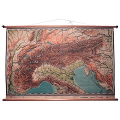
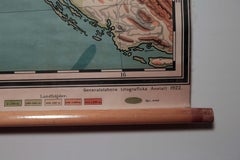
Vintage Swedish Topographic School Map of European Alps, Made in Sweden 1922

Vintage Swedish Topographic School Map of European Alps, Made in Sweden 1922

Located in Los Angeles, CA

Vintage Swedish Topographic School map of European Alps, Made in Sweden 1922 This vintage Swedish school map is so unique and a great example of why these are so collectible.

Category

1920s Swedish Antique Linen Map

Materials

Linen, Wood, Paper

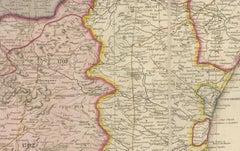
Large Decorative Colonial-Era Map of South India – Peninsula of India, 1800

Large Decorative Colonial-Era Map of South India – Peninsula of India, 1800

Located in Langweer, NL

Antique Map of South India – “A Map of the Peninsula of India,” London 1800 This large and detailed antique map titled *A Map of the Peninsula of India* was published in London in 1...

Category

Early 19th Century English Antique Linen Map

Materials

Linen, Paper

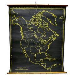
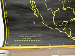
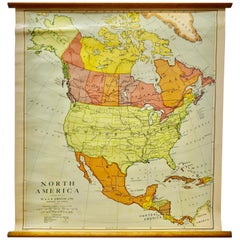
Black Map of North America by W&A K Johnston, 1920, Industrial Style

Black Map of North America by W&A K Johnston, 1920, Industrial Style

Located in Godshill, Isle of Wight

University Chart “Black Map of North America W&A K Johnston’s Charts of Physical Maps By G W Bacon, This is a Black Physical map of North America, it is large lithograph set o...

Category

Early 20th Century Industrial Antique Linen Map

Materials

Linen

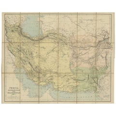
Antique Map of West Asia, circa 1900

Antique Map of West Asia, circa 1900

Located in Langweer, NL

Folding map on linen. Published circa 1900. Stamp below title.

Category

Early 20th Century Antique Linen Map

Materials

Paper

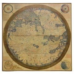
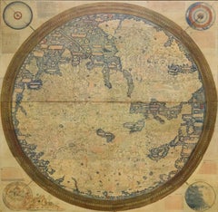
Monumental Framed Medieval Facsimile Map Of The World Fra Mauro Wood Wall Panel

Monumental Framed Medieval Facsimile Map Of The World Fra Mauro Wood Wall Panel

Located in Forney, TX

A remarkable palatial nearly 7.5ft x 7.5ft facsimile of the important Map of the World (circa 1450) by Fra MauroFra Mauro (Italian; circa 1400–1464), featuring a solid wood framed hi...

Category

Early 20th Century Medieval Antique Linen Map

Materials

Linen, Wood, Paper

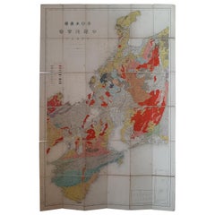
Antique Map of the Region of Wakayama, Nara and Osaka 'Japan', ca.1880

Antique Map of the Region of Wakayama, Nara and Osaka 'Japan', ca.1880

Located in Langweer, NL

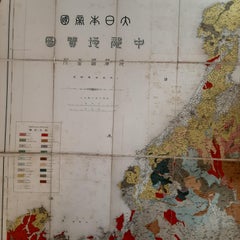
Geological folding map of the area with Wakayama, Nara, Osaka, Mie, and Shiga in Japan, circa 1880: This map is a geological folding map, which means it was designed to be portable ...

Category

Late 19th Century Antique Linen Map

Materials

Linen, Paper

One of the most influential maps of America ever made, 17th Century Willem Blaeu

One of the most influential maps of America ever made, 17th Century Willem Blaeu

By Willem Blaeu

Located in ZWIJNDRECHT, NL

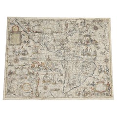
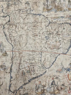
The hand-colored engraved wall map on four joined sheets laid on old linen. Size: 33.9 x 43,3 inches.

Category

17th Century Dutch Dutch Colonial Antique Linen Map

Materials

Paper, Linen

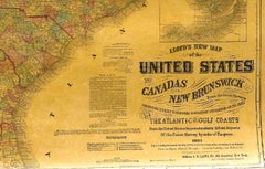
1863 "Lloyd's New Map of the United States, the Canadas, and New Brunswick"

1863 "Lloyd's New Map of the United States, the Canadas, and New Brunswick"

Located in Colorado Springs, CO

Paper is healthy, with a few edge chips from rolling, minimal stains, and overall toning. Map is backed with linen. Presented on wooden rollers, as issued.

Category

1860s American Antique Linen Map

Materials

Linen, Wood, Paper

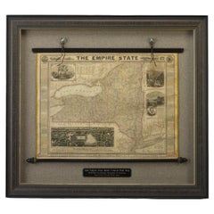
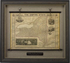
1861 "The Empire State" Wall Map by Ensign, Bridgman & Fanning

1861 "The Empire State" Wall Map by Ensign, Bridgman & Fanning

Located in Colorado Springs, CO

Additional land at the northern end of Central Park was purchased in 1859; the beginning of that expansion can be seen in this view.  CONDITION: This linen-backed map, displays som...

Category

1860s American Victorian Antique Linen Map

Materials

Wood, Paper

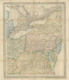
American Civil War “Seat of War” Map, Published Just After Bull Run, 1861

American Civil War “Seat of War” Map, Published Just After Bull Run, 1861

Located in Langweer, NL

Lithographed, with original hand coloring, the map was designed for practical use and folds into sections mounted on linen.

Category

Mid-19th Century British Victorian Antique Linen Map

Materials

Paper

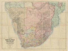
South Africa c.1890 Antique Folding Map – Cape Colony to Zambesi River

South Africa c.1890 Antique Folding Map – Cape Colony to Zambesi River

Located in Langweer, NL

South Africa Folding Map c.1890 – Juta Antique Linen-Mounted Map This impressive antique folding map, “Juta’s Map of South Africa from the Cape to the Zambesi,” was published in Cap...

Category

Late 19th Century South African Antique Linen Map

Materials

Paper

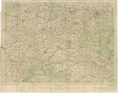
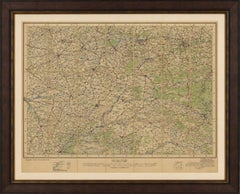
1914 WWI British War Office Map of Arras, Amiens and Reims, Edward Stanford

1914 WWI British War Office Map of Arras, Amiens and Reims, Edward Stanford

Located in Langweer, NL

Collector and subject keywords: Antique Military Map, WWI Cartography, British Army History, French Regional History, Edward Stanford London, War Office Publication, Railway History...

Category

Early 20th Century British Antique Linen Map

Materials

Paper

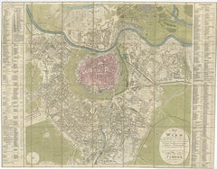
Antique Map of Vienna, Plan von Wien, Hand Colored Artaria City Plan, 1839

Antique Map of Vienna, Plan von Wien, Hand Colored Artaria City Plan, 1839

Located in Langweer, NL

Keyword block: Vienna map, Wien plan 1839, Artaria map, Austrian city plan, Hofburg Vienna, Danube map, Biedermeier Vienna, antique city map, Vienna suburbs map, 19th century map Aus...

Category

Mid-19th Century Austrian Antique Linen Map

Materials

Paper

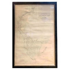
1889 Sea Chart Map of Delaware Bay by George Eldridge, Chart No. 11

1889 Sea Chart Map of Delaware Bay by George Eldridge, Chart No. 11

Located in Colorado Springs, CO

Select areas of damp-staining. Map has been backed onto new archival linen, for stability. 

Category

1880s American Victorian Antique Linen Map

Materials

Paper

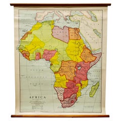
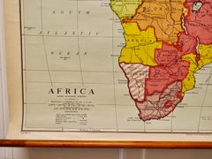
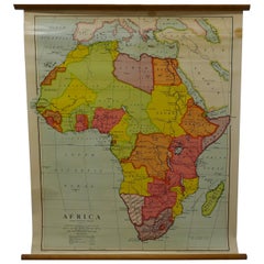
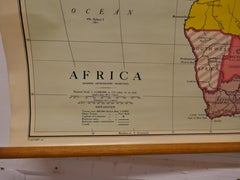
Large University Chart “Africa Physical ” by Bacon

Large University Chart “Africa Physical ” by Bacon

Located in Godshill, Isle of Wight

Large University chart “Africa Physical ” by Bacon W&A K Johnston’s charts of physical maps by G W Bacon, This is a Physical map of Africa, it is lithograph set on Linen mounte...

Category

Early 20th Century Beaux Arts Antique Linen Map

Materials

Linen

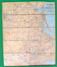
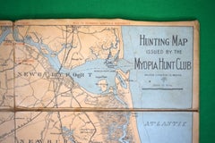
Hunting Map Issued By The Myopia Hunt Club Linen Matte on Board

Hunting Map Issued By The Myopia Hunt Club Linen Matte on Board

Located in Bristol, CT

Map Sz: 21 5/8"H x 17 7/8"W Published by Walker Lith & Pub. Co. Boston George Hiram Walker (January 4, 1852- November 14, 1927) was a Boston based publisher of book, views, and map...

Category

Early 1900s Antique Linen Map

Materials

Linen, Board

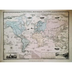
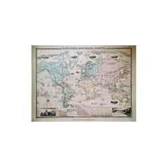
1864 Original illustrated planisphere - World Map - Geography

1864 Original illustrated planisphere - World Map - Geography

Located in PARIS, FR

Immerse yourself in the epic journey of the past with the Illustrated Historical Planisphere of 1864 by Charpentier! 🗺️ This cartographic treasure transports you through the intrica...

Category

1860s Antique Linen Map

Materials

Linen, Paper, Lithograph

Large University Chart “Physical Map of Africa” by Bacon

Large University Chart “Physical Map of Africa” by Bacon

Located in Godshill, Isle of Wight

Large university chart “Physical Map of Africa” by Bacon W&A K Johnston’s Charts of Physical Maps By G W Bacon, This is colorful Physical map of North America, it is large lith...

Category

Early 20th Century Folk Art Antique Linen Map

Materials

Linen

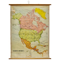
Large University Chart “Political Map of North America” by Bacon

Large University Chart “Political Map of North America” by Bacon

Located in Godshill, Isle of Wight

Large University chart “Political Map of North America” by Bacon W&A K Johnston’s Charts of Political Maps by G W Bacon, This is colorful Physical map of North America, it is l...

Category

Early 20th Century American Empire Antique Linen Map

Materials

Linen

Large University Chart “Political Map of North America” by Bacon

Large University Chart “Political Map of North America” by Bacon

Located in Godshill, Isle of Wight

Large University Chart “Political Map of North America” by Bacon W&A K Johnston’s Charts of Physical Maps By G W Bacon, This is colourful Physical map of North America, it is large...

Category

Early 20th Century American Empire Antique Linen Map

Materials

Linen

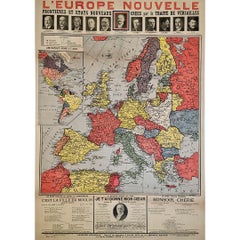
Original poster, titled “L’Europe Nouvelle” - political map of Europe

Original poster, titled “L’Europe Nouvelle” - political map of Europe

Located in PARIS, FR

This fascinating original poster, titled “L’Europe Nouvelle”, presents a vivid political map of Europe and the world as reshaped by the Treaty of Versailles, signed in 1919 at the co...

Category

1910s Antique Linen Map

Materials

Linen, Paper, Lithograph

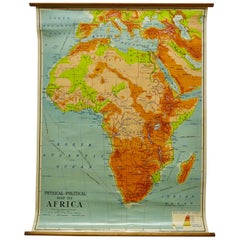
W&A K Johnston’s Charts of Physical Maps by G W Bacon

W&A K Johnston’s Charts of Physical Maps by G W Bacon

Located in Godshill, Isle of Wight

Large University chart “Africa Physical Political” by Bacon W&A K Johnston’s charts of physical maps by G W Bacon, This is a Physical Political map of Africa, it is lithograph ...

Category

Early 20th Century Rustic Antique Linen Map

Materials

Linen

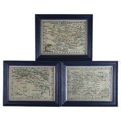
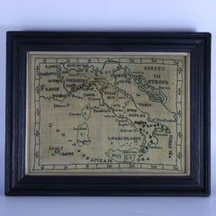
Rare Set of 3 Map Samplers by A Charles. Italy, Spain & France

Rare Set of 3 Map Samplers by A Charles. Italy, Spain & France

Located in Chelmsford, Essex

The first entitled, 'SPAIN and PORTUGAL'. The second, 'MAP OF FRANCE'. The third, 'ITALY'. The samplers are worked in silk thread on linen ground, in a variety of stitches.

Category

Early 19th Century English Antique Linen Map

Materials

Linen

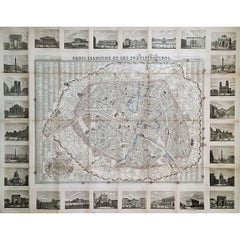
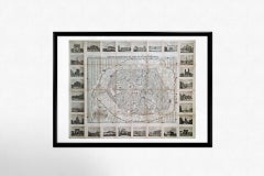
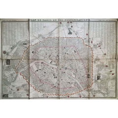
1851 Original map by Maillard - Plan de Paris et ses Fortifications

1851 Original map by Maillard - Plan de Paris et ses Fortifications

Located in PARIS, FR

In the world of cartography, maps transcend mere geography; they are historical records and works of art, encapsulating the essence of a place at a specific moment in time. The 1851 ...

Category

1850s Antique Linen Map

Materials

Linen, Paper, Lithograph

1848 Original map by Maillard - Plan de Paris et ses Fortifications

1848 Original map by Maillard - Plan de Paris et ses Fortifications

Located in PARIS, FR

In the realm of cartography, maps serve as both practical tools and artistic representations, encapsulating the essence of a place at a specific moment in time. The 1848 vintage map,...

Category

1840s Antique Linen Map

Materials

Paper, Lithograph, Linen

Recent Sales

Painted on Linen Map of Paris

Painted on Linen Map of Paris

Unavailable

H 52.37 in W 87.41 in D 2.76 in

Painted on Linen Map of Paris

Located in Sint-Kruis, BE

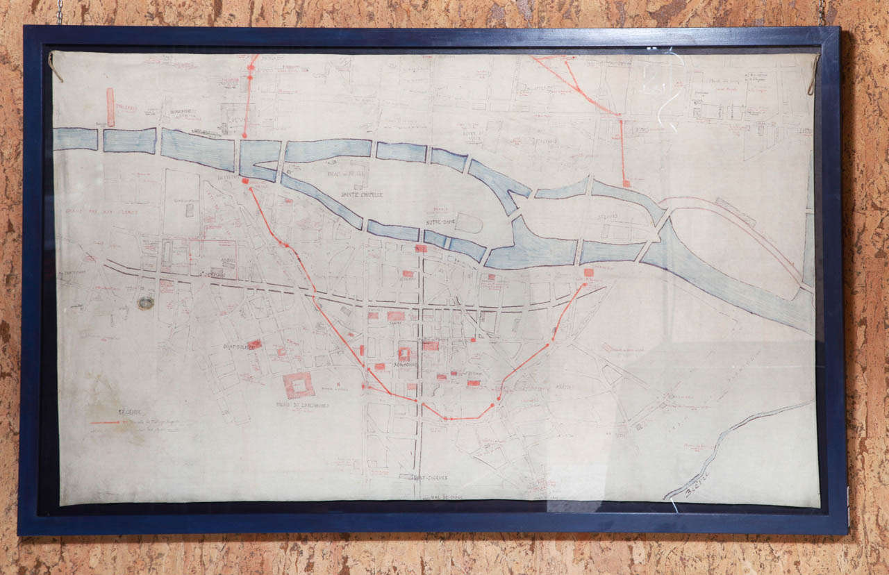
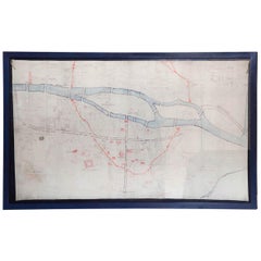
hand painted on linen plan of Paris, Napoleon III period

Category

19th Century French Antique Linen Map

Materials

Linen

French Hand Painted Map of Paris City Centre circa 1860

French Hand Painted Map of Paris City Centre circa 1860

Unavailable

H 52.76 in W 87.01 in D 2.37 in

French Hand Painted Map of Paris City Centre circa 1860

Located in Sint-Kruis, BE

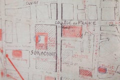
Most unusual map of the centre of Paris, painted by hand on linnen circa 1860. On the map you can distinguish the red line where the medieval walls of Paris used to be, the medieval ...

Category

19th Century French Antique Linen Map

Materials

Linen

Rare 1916 Map of Brooklyn

Rare 1916 Map of Brooklyn

Unavailable

H 27.5 in W 37.5 in D 1 in

Rare 1916 Map of Brooklyn

Located in Tarrytown, NY

Rare map of Brooklyn, 1916. The map was originally backed on linen for preservation.

Category

1910s American Antique Linen Map

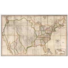
Map of the United States with the Contiguous British and Spanish Possessions

Map of the United States with the Contiguous British and Spanish Possessions

By John Melish

Located in La Jolla, CA

Hand-colored engraved wall map, dissected and laid on original linen. Melish's map is generally regarded as the single most important and influential map of America published in t...

Category

1810s American American Empire Antique Linen Map

Materials

Paper

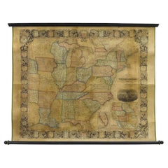
1856 Hanging "Map of the United States from the Latest Authorities"

1856 Hanging "Map of the United States from the Latest Authorities"

Located in Colorado Springs, CO

Attached to black wooden rollers and backed on linen. Map is sold unframed, on rollers, as issued.

Category

1850s American Antique Linen Map

Materials

Linen, Wood, Paper

French European Framed Map Printed on Linen, Signed, Circa 1781

French European Framed Map Printed on Linen, Signed, Circa 1781

Located in Charleston, SC

French European framed map printed on linen with a colorful outlines and border under glass.

Category

1780s French Louis XVI Antique Linen Map

Materials

Glass, Linen, Wood

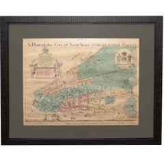
Early Map of New York City

Early Map of New York City

Sold

H 27.25 in W 31.5 in D 1 in

Early Map of New York City

Located in Sag Harbor, NY

It was then reprinted in the 1830s by John Slater Bookseller. The map is hand water colored, mounted on linen and mounted behind museum quality glass.

Category

Mid-19th Century American Antique Linen Map

Materials

Linen, Paper

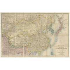
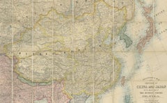
Antique Map of China and Japan by E. Stanford, 1900

Antique Map of China and Japan by E. Stanford, 1900

Sold

H 26.58 in W 40.56 in D 0.02 in

Antique Map of China and Japan by E. Stanford, 1900

By E. Stanford

Located in Langweer, NL

Antique map titled 'Stanford's Map of the Empires of China and Japan with the adjacent parts of the Russian Empire, India, Burma, &c.'. Large folding map of the Far East.

Category

Early 20th Century English Antique Linen Map

Materials

Linen, Paper

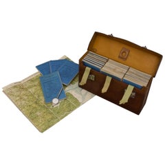
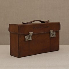
Leather Cased Set of Maps of England and Wales, circa 1920

Leather Cased Set of Maps of England and Wales, circa 1920

By E. Stanford

Located in London, GB

A pigskin leather case with ‘fish-tail’ handle containing a complete series of Bartholomew's 2 miles to an inch scale, linen backed maps for England and Wales by Edward Stanford of L...

Category

1920s English Antique Linen Map

Materials

Metal

Framed Mid-19th Century Wall Map of Long Island, the Hamptons

Framed Mid-19th Century Wall Map of Long Island, the Hamptons

Located in Sag Harbor, NY

A Framed museum quality find. This large wall map dates to the mid-1800s. Detailed inset maps of, Sag Harbor, East Hampton, Amegansett, Shelter Island and most villages in Long Islan...

Category

Mid-19th Century American Antique Linen Map

Materials

Linen, Paper

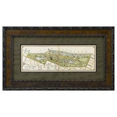
1899 Lindrooth Map of Lincoln Park, Chicago

1899 Lindrooth Map of Lincoln Park, Chicago

Sold

H 19.25 in W 33.5 in D 1.5 in

1899 Lindrooth Map of Lincoln Park, Chicago

Located in Colorado Springs, CO

Original hand color still intact and vibrant. This map is artfully and archivally presented in a custom-built wooden frame, with a dark green linen top map, and dark wooden spandrel.

Category

1890s American Antique Linen Map

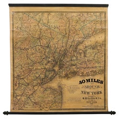
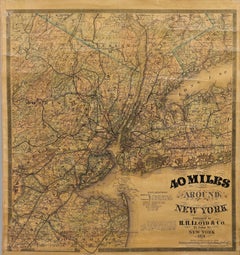
1870 "40 Miles Around New York" by H. H. Lloyd, Hanging Map on Original Rollers

1870 "40 Miles Around New York" by H. H. Lloyd, Hanging Map on Original Rollers

Located in Colorado Springs, CO

Overall toning and varnish lightly patinated. Map is backed on linen. Presented on original wooden rollers, as issued.

Category

1870s American Late Victorian Antique Linen Map

Materials

Linen, Wood, Paper

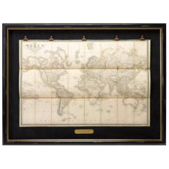
1837 "Mercator Projection" Map of the World by James Wyld

1837 "Mercator Projection" Map of the World by James Wyld

Located in Colorado Springs, CO

Engraved map, hand-colored in outline, backed onto linen.

Category

1830s English Antique Linen Map

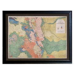
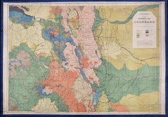
1877 General Geological Map of Colorado by F. V. Hayden

1877 General Geological Map of Colorado by F. V. Hayden

Located in Colorado Springs, CO

Paper is healthy, without tears, and full margins. Map is linen backed in royal blue. Map has been artfully and archivally framed with a dark grey acid-free top mat, UV Plexiglas, a...

Category

1870s American Antique Linen Map

Materials

Paper

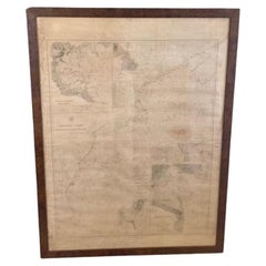
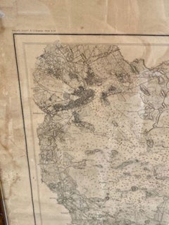
Large  U.S. Coast and Geodetic Survey Chart A of the Atlantic Coast, 1877

Large U.S. Coast and Geodetic Survey Chart A of the Atlantic Coast, 1877

Located in Nantucket, MA

Large U.S. Coast and Geodetic Survey Chart A of the Atlantic Coast, 1877, re-issued in February 1881, a printed paper laid down on linen navigational chart of the U.S. Atlantic coast...

Category

1880s American Other Antique Linen Map

Materials

Linen

19th Century Napoleonic Hunting Maps on Linen Folding Screen

19th Century Napoleonic Hunting Maps on Linen Folding Screen

Located in Sunshine, LA

A custom folding screen using antique French Napoleonic hunting maps of the early 1800s, the five-panel room divider becomes a cartographic artifact both functional in one's interior...

Category

Early 19th Century French Empire Antique Linen Map

Materials

Linen, Wood, Paper

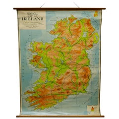
Large University Chart “Physical Map of Ireland” by Bacon

Large University Chart “Physical Map of Ireland” by Bacon

Located in Godshill, Isle of Wight

Large University Chart “Physical Map of Ireland” by Bacon W&A K Johnston’s Charts of Physical Maps By G W Bacon, This is colorful Physical map of Ireland, it is large lithograp...

Category

Early 20th Century International Style Antique Linen Map

Materials

Linen

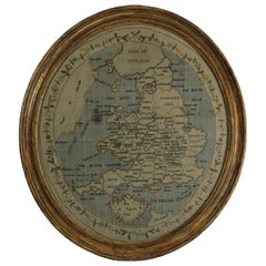
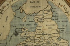
Georgian Map of UK Sampler by Elizabeth Kifft, 1797

Georgian Map of UK Sampler by Elizabeth Kifft, 1797

Located in Chelmsford, Essex

1797 England & Wales Map Sampler by Elizabeth Kifft, Leacock School.

Category

1790s English Folk Art Antique Linen Map

Materials

Linen, Silk

1856 "Map of the United States" by Ensign, Bridgeman, and Fanning

1856 "Map of the United States" by Ensign, Bridgeman, and Fanning

Located in Colorado Springs, CO

Previously restored and stabilized, now newly backed onto archival linen. Map has been artfully framed to conservation standards in a custom wooden frame, with acid-free mats, and U...

Category

1850s American Victorian Antique Linen Map

Materials

Paper

1868 "Lloyd's Topographical Railway Map of North America..." Hanging Wall Map

1868 "Lloyd's Topographical Railway Map of North America..." Hanging Wall Map

Located in Colorado Springs, CO

Map has been restored and backed with linen. Presented on wooden rollers, as issued.

Category

1860s American Late Victorian Antique Linen Map

Materials

Linen, Paper

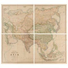
Antique Map of Asia by Stanford, 1862

Antique Map of Asia by Stanford, 1862

Sold

H 33.5 in W 31 in D 0.01 in

Antique Map of Asia by Stanford, 1862

Located in Langweer, NL

Antique map titled 'Stanford's Library Map of Asia'. Beautiful map of Asia in 4 sections, each segmented and mounted to original linen with marbled paper self-wrappers.

Category

Mid-19th Century Antique Linen Map

Materials

Linen, Paper

Vintage Swedish School Map of Europe, Large, Made in Sweden, 1905

Vintage Swedish School Map of Europe, Large, Made in Sweden, 1905

Located in Los Angeles, CA

Vintage Swedish School Map of Europe - LARGE - Made in Sweden, 1905 This vintage Swedish school map is so unique and a great example of why these are so collectible.

Category

Early 1900s Swedish Antique Linen Map

Materials

Linen, Wood, Paper

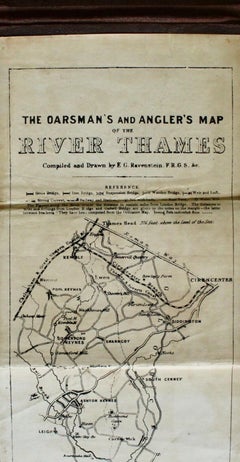
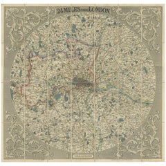
Antique Map of the London Region by G.F. Cruchley, 1838

Antique Map of the London Region by G.F. Cruchley, 1838

By G.F. Cruchley

Located in Langweer, NL

Antique map titled 'New Map Extending 24 Miles Round London, showing all the Mail, Turnpike, and Cross Roads, Gentleman's Seats, parks etc. etc. Also all the Proposed Railways, &c.'....

Category

Mid-19th Century English Antique Linen Map

Materials

Linen, Paper

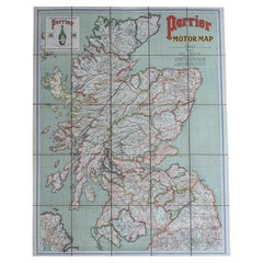
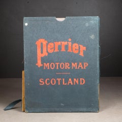
Early 20th c. Scotland Perrier Motor Map c.1910

Early 20th c. Scotland Perrier Motor Map c.1910

Located in San Francisco, CA

ABOUT Large bright vivid color-printed Perrier Motor Map, featuring the motoring roads of Scotland. Mounted to original linen back, folded into a cloth waterproof slipcase.

Category

Early 20th Century British Victorian Antique Linen Map

Materials

Linen, Paper

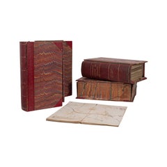
Antique Map Compendiums, English, Ordnance Survey, Cartography, Victorian, 1880

Antique Map Compendiums, English, Ordnance Survey, Cartography, Victorian, 1880

Located in Hele, Devon, GB

Of interest to the enthusiast cartographer, 28 antique maps in total Displaying a desirable aged patina, signs of previous enjoyment commensurate with age Half bound in rich, crims...

Category

Late 19th Century British Antique Linen Map

Materials

Leather

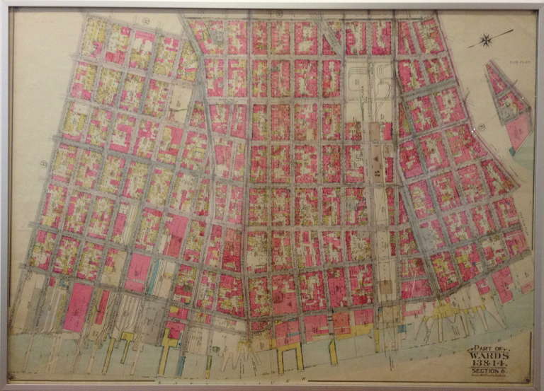
Rare 1916 Map of Williamsburg Brooklyn

Rare 1916 Map of Williamsburg Brooklyn

Sold

H 28 in W 36 in D 1 in

Rare 1916 Map of Williamsburg Brooklyn

Located in Tarrytown, NY

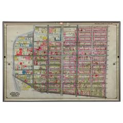
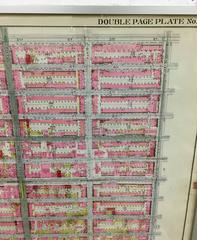
Rare map on linen of Williamsburg Brooklyn from The Atlas of the Borough of Brooklyn City of New York.

Category

1910s American Antique Linen Map

Materials

Linen

Rare 1916 Map of Fort Greene Brooklyn

Rare 1916 Map of Fort Greene Brooklyn

Sold

H 28 in W 36 in D 1 in

Rare 1916 Map of Fort Greene Brooklyn

Located in Tarrytown, NY

Belcher Hyde Map Company, 1916. Because the map was originally backed on linen, it is in fine condition.

Category

1910s American Antique Linen Map

Materials

Linen

Archival Map of Wisconsin Roads, 1921 Edition

Archival Map of Wisconsin Roads, 1921 Edition

Located in Madison, WI

Map of Wisconsin roadways and truck highways was originally composed in 1911 by the Wisconsin Geological & Natural History Survey and later revised in this 1921 edition.

Category

Early 20th Century American Antique Linen Map

Materials

Linen, Paper, Wood

Get Updated with New Arrivals
Save "Antique Linen Map", and we’ll notify you when there are new listings in this category.

Antique Linen Map For Sale on 1stDibs

Find many varieties of an authentic antique linen map available at 1stDibs. Frequently made of fabric, linen and paper, every antique linen map was constructed with great care. Your living room may not be complete without an antique linen map — find older editions for sale from the 18th Century and newer versions made as recently as the 20th Century. When you’re browsing for the right antique linen map, those designed in Folk Art, Industrial and Louis XVI styles are of considerable interest. Many designers have produced at least one well-made antique linen map over the years, but those crafted by Andriveau-Goujon and Horace Thayer Co. are often thought to be among the most beautiful.

Finding the Right Collectibles-curiosities for You

Antique and vintage collectibles and curiosities can bring whimsy and wonder to any interior. 

Decorating with old scientific instruments, historical memorabilia and vintage musical instruments, as well as other authentic collectibles and curiosities that can be found on 1stDibs, presents an opportunity to create a unique, natural history museum-like atmosphere in your home that can provoke conversation as often as it pays tribute to how far we’ve come in understanding our world. 

And bringing collectibles and curiosities into your space is actually on trend — Wunderkammern, or curiosity cabinets, were all the rage in Europe during the 1500s and continued to have adherents there and in the U.S. in the following centuries. Today, however, they’re experiencing a real surge in popularity and influencing how many interior designers are furnishing and decorating homes — combining contemporary with antique, scientific with tribal, earthly with extraterrestrial, Les Lalanne tables with Flemish tapestries.

The original Wunderkammern were entire rooms filled with objects demonstrating their owners’ worldly knowledge: A proper one included artificiala or preciosa (objets d’art); naturalia (such as skeletons, shells, minerals); exotica (taxidermy or dried plants); and scientifica (scientific instruments), frequently alongside religious relics and ancient artifacts.

Pay tribute to a history of rich and diverse musical traditions that have taken shape all over the world by decorating your home with a collection of antique and vintage musical instruments — with a little help from strong hanging wire or some wall hooks, vintage brass instruments such as a gong, French horn or trumpet can help elevate a home office or complement the efforts you’ve made to ensure a welcoming vibe in your home’s entryway. Bells or antique wind instruments can add provocative metallic contrasts to dark woods as tabletop decorative objects.  

Create an intriguing focal point with Georgian scientific instruments, such as stick barometers with mahogany cases or lacquered brass telescopes. These items stem from an era named for the monarchies of the four King Georges, who ruled England in succession starting in 1714 (plus King William’s reign, which lasted until 1837). Just as there was beautiful jewelry produced during the period that today is coveted by collectors, there is much to be found in the collectibles and curiosities realm too.

Wanderlust, nostalgia and a shared love of good design are contributing factors to certain trends in decorating — just as vintage trunks and luggage have reappeared as furniture or home accents in a bedroom or foyer, decorating with globes, maps or nautical objects is similarly rooted in the allure of travel and a penchant for the stylish finishing touch that collectibles bring to our homes.

Find a wide range of antique and vintage collectibles and curiosities on 1stDibs.
Read More