
Want more images or videos?
Request additional images or videos from the seller.

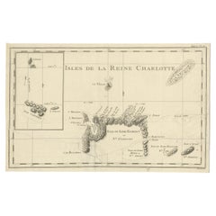
Antique Map of the Queen Charlotte Islands, Haida Gwaii

$327.22
£247.28
€290VAT Included
CA$466.54
A$480.96
CHF 273.28
MX$6,088.13
NOK 3,129.44
SEK 3,278.47
DKK 2,211.28

About the Item

Antique map titled 'Isles de la Reine Charlotte (..)'. Original old map of the Queen Charlotte Islands, based upon the explorations of James Cook, Juan Perez, and other contemporary European explorers. The map shows only partial coastal detail along the north end of the main island, and includes two insets of navigable bays and depth measurements. Now called Haida Gwaii, after the local native population, the islands situated off Canada’s coast, south of Vancouver played an important role in the late 18th and early 19th century maritime fur trade. The name “Queen Charlotte” was given from the name of a British merchant ship engaged in the fur trade who visited in the island two years prior to publication, in 1785. Published by Rigobert Bonne, circa 1787.
  • Dimensions:
    Height: 10.71 in (27.2 cm)Width: 16.34 in (41.5 cm)Depth: 0.02 in (0.5 mm)
  • Materials and Techniques:
  • Period:
  • Date of Manufacture:
    1787
  • Condition:
    General age-related toning. Original folding line, with split. Shows wear and soiling. Blank verso. Please study image carefully.
  • Seller Location:
    Langweer, NL
  • Reference Number:
    Seller: BG-12707-951stDibs: LU3054334290932

More From This Seller

View All
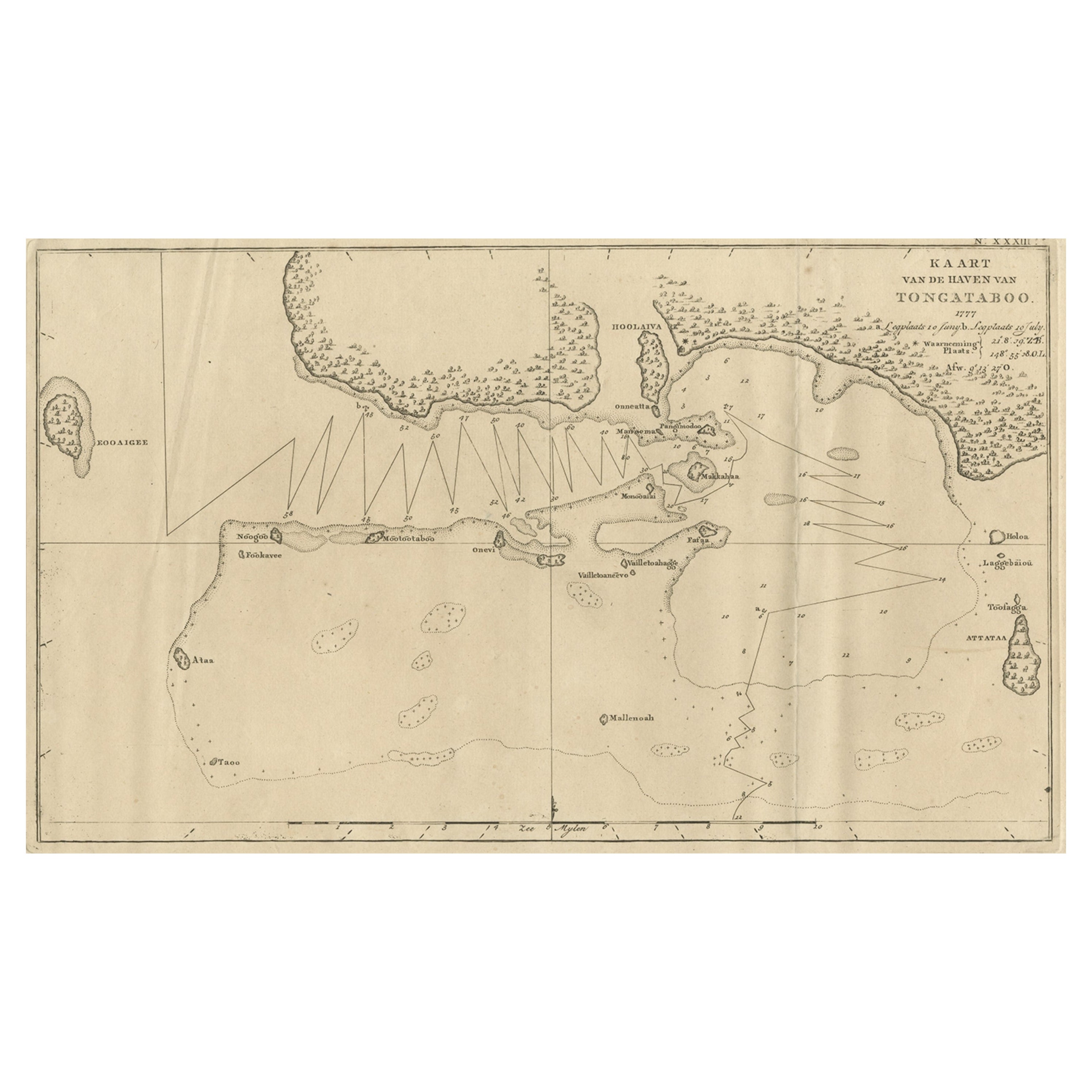
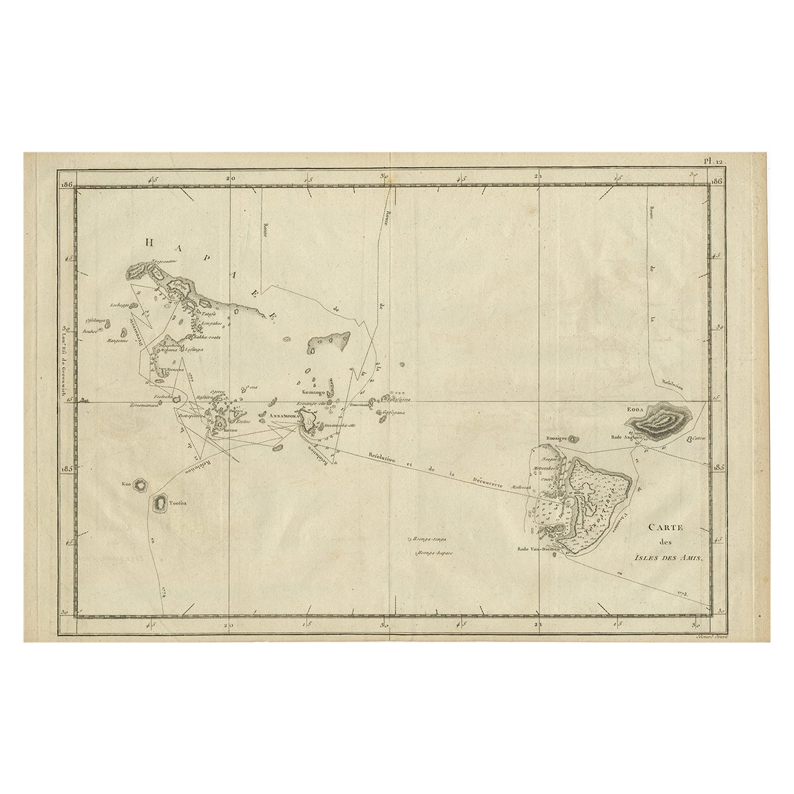
Old Map of the Kingdom of Tonga, Also Known as the Friendly Islands, ca.1780

Old Map of the Kingdom of Tonga, Also Known as the Friendly Islands, ca.1780

Located in Langweer, NL

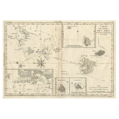
Antique print, titled: 'Carte des Isles des Amis.' Map of the Kingdom of Tonga, also known as the Friendly Islands, and one of the last hereditary monarchies. Cook named this gro...

Category

Antique 1780s Maps

Materials

Paper

Antique Map of the Santa Cruz Islands with Inset of Carteret and Gower Islands

Antique Map of the Santa Cruz Islands with Inset of Carteret and Gower Islands

Located in Langweer, NL

Antique map titled 'Isles de la Reine Charlotte (..)'. A detailed chart of the Santa Cruz islands, to the north of the New Hebrides, with Carteret's track in "Swallow"; including an ...

Category

Antique Late 18th Century Maps

Materials

Paper
Antique Map of Juan Fernandez Island and Cumberland Bay, Chile - ca.1749

Antique Map of Juan Fernandez Island and Cumberland Bay, Chile - ca.1749

Located in Langweer, NL

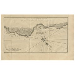
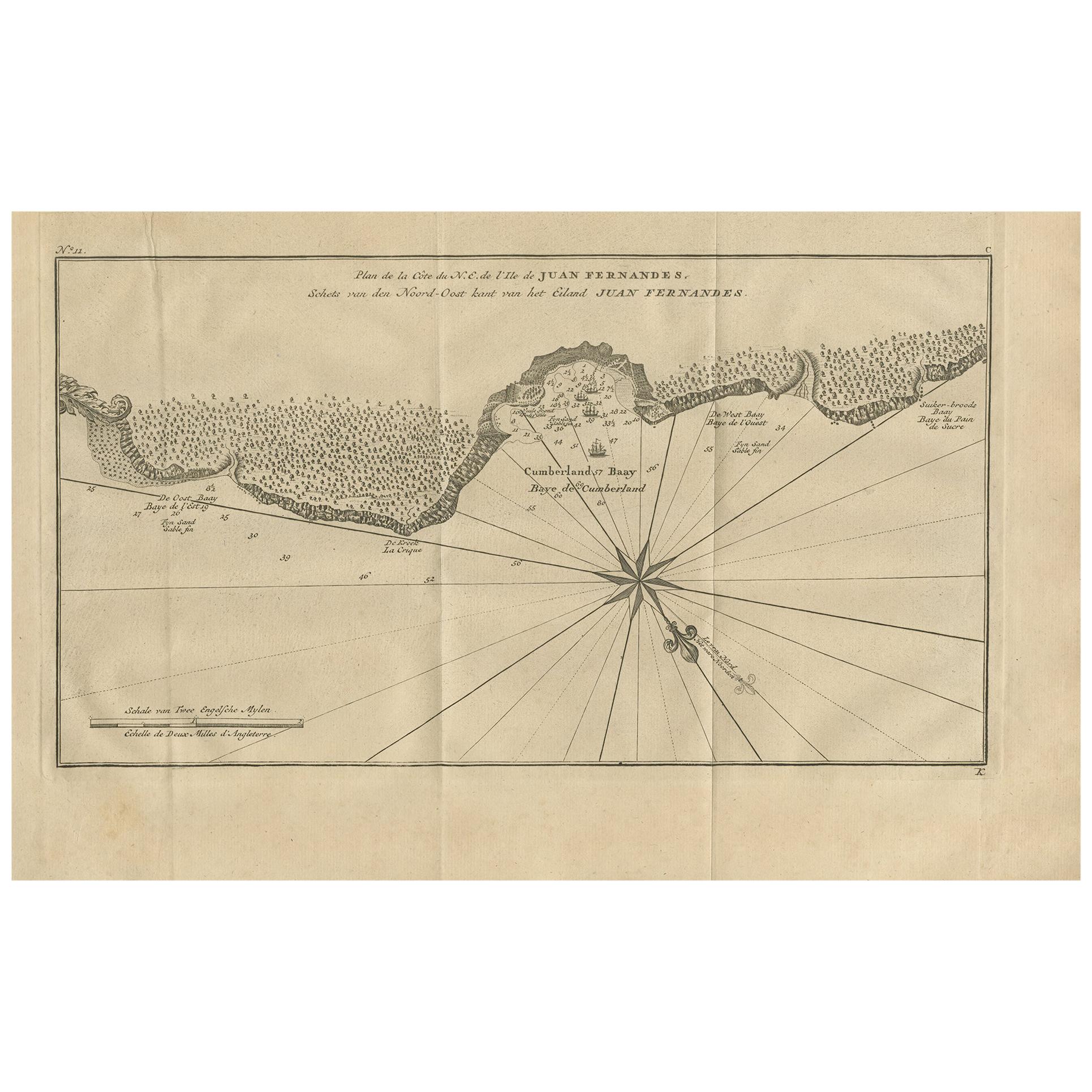
Antique map titled 'Plan de la Côte du N.E. de l 'Ile de Juan Fernandes - Schets van den Noord-Oost kant van het eiland Juan Fernandes '. This map depicts the northeast coast of the ...

Category

Antique Mid-18th Century French Maps

Materials

Paper

Antique Map of Quinam and the Côn ?ao Islands by Sayer, 1778

Antique Map of Quinam and the Côn ?ao Islands by Sayer, 1778

Located in Langweer, NL

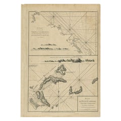
Antique map titled 'A Chart of a part of the Coast of Cochinchina' and 'Plan of Pulo Condor'. Two maps on one sheet. The upper map shows part of the coast of Cochinchina from Cham Co...

Category

Antique 18th Century Maps

Materials

Paper
Map of the Hawaiian Islands with a Large Inset of Karakakooa Bay, 1803

Map of the Hawaiian Islands with a Large Inset of Karakakooa Bay, 1803

Located in Langweer, NL

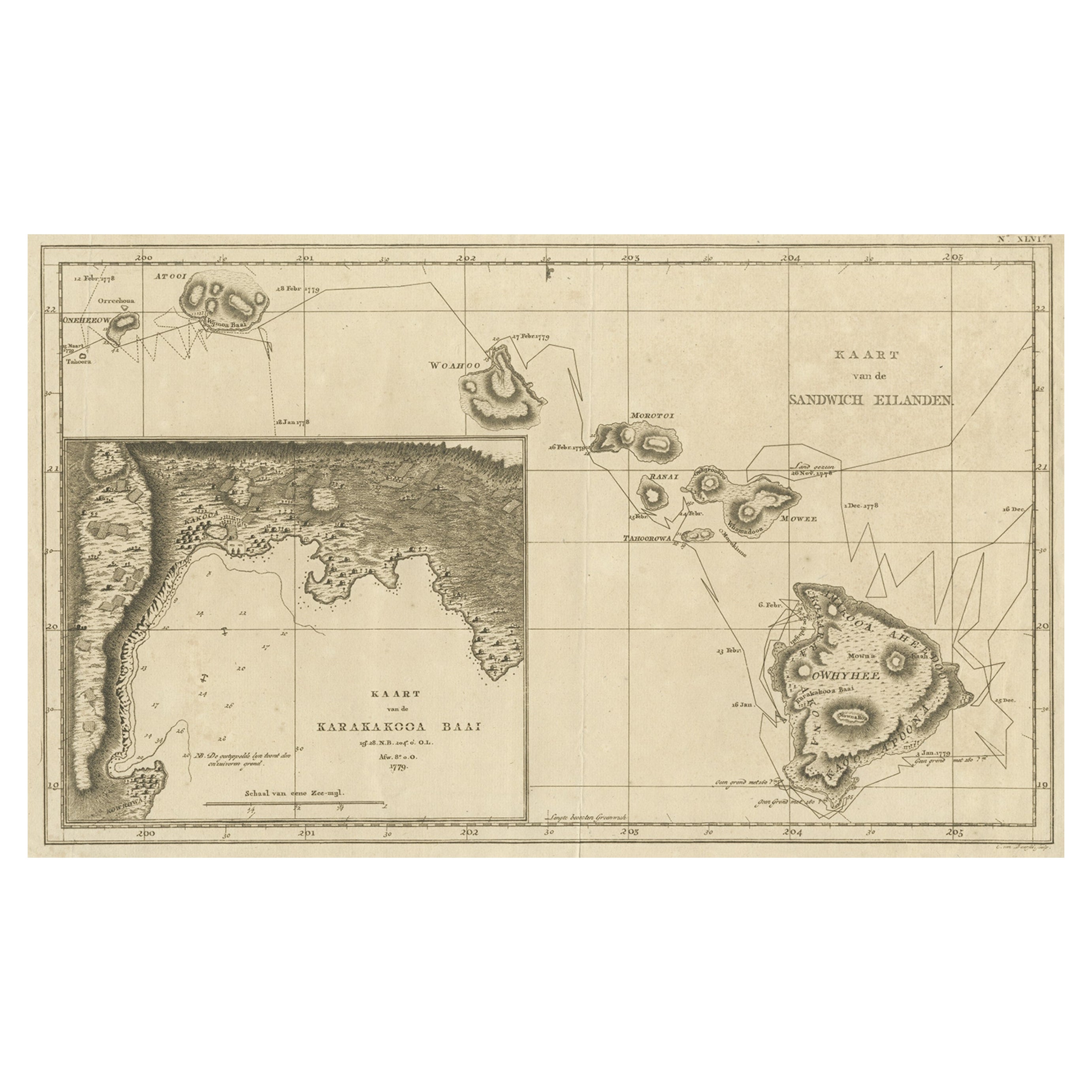
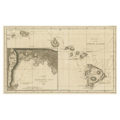
Antique map titled 'Kaart van de Sandwich Eilanden'. Map of the Hawaiian Islands with a large inset of Karakakooa Bay, including soundings and anchorages. Originates from 'Reizen R...

Category

Antique Early 1800s Maps

Materials

Paper

You May Also Like

Original Antique Map of US Possessions In The Pacific Ocean, C.1900

Original Antique Map of US Possessions In The Pacific Ocean, C.1900

Located in St Annes, Lancashire

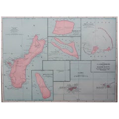
Fabulous map of US possessions in the Pacific Ocean Original color. Engraved and printed by the George F. Cram Company, Indianapolis. Published, C.1900. Unframed. Free shipping.

Category

Antique 1890s American Maps

Materials

Paper

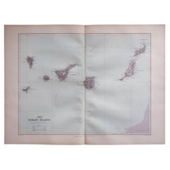
Large Original Antique Map of The Canary Islands. 1894

Large Original Antique Map of The Canary Islands. 1894

Located in St Annes, Lancashire

Superb Antique map of The Canary Islands Published Edward Stanford, Charing Cross, London 1894 Original colour Good condition Unframed. Free shipping

Category

Antique 1890s English Maps

Materials

Paper

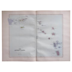
Large Original Antique Map of The Leeward Islands. 1894

Large Original Antique Map of The Leeward Islands. 1894

Located in St Annes, Lancashire

Superb Antique map of The Leeward Islands Published Edward Stanford, Charing Cross, London 1894 Original colour Good condition Unframed. Free shipping

Category

Antique 1890s English Maps

Materials

Paper

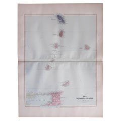
Large Original Antique Map of the The Windward Islands. 1894

Large Original Antique Map of the The Windward Islands. 1894

Located in St Annes, Lancashire

Superb Antique map of The Windward Islands Published Edward Stanford, Charing Cross, London 1894 Original colour Good condition Unframed. Free shipping

Category

Antique 1890s English Maps

Materials

Paper

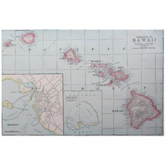
Original Antique Map of Hawaii And Adjacent Islands. C.1900

Original Antique Map of Hawaii And Adjacent Islands. C.1900

Located in St Annes, Lancashire

Fabulous map of Hawaii. With a vignette of Honolulu Original color. Engraved and printed by the George F. Cram Company, Indianapolis. Published, C.1900. Unframed. Free shipping.

Category

Antique 1890s American Maps

Materials

Paper

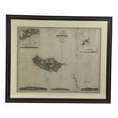
1865 Chart of the Islands of Madeira

1865 Chart of the Islands of Madeira

Located in Norwell, MA

Rare James Imray chart from 1865 titled "Chart of the Islands of Madeira, Porto Santo and Dezerea" drawn from the survey made by Captain Ate Vidal Royal Navy, London. Published by Ja...

Category

Antique 1860s European Maps

Materials

Paper