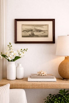
St Eustatius

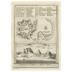
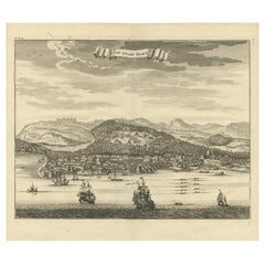
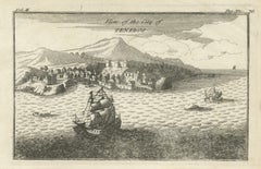
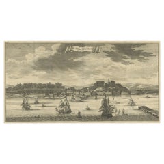
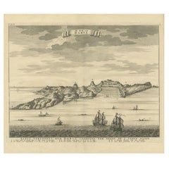
Antique St Eustatius Caribbean View, Ships Harbor, Tournefort 1717

Antique St Eustatius Caribbean View, Ships Harbor, Tournefort 1717

Located in Langweer, NL

Antique St Eustatius Caribbean View, Ships Harbor, Tournefort 1717 A highly evocative early 18th-century engraved view of the Caribbean island of St.

Category

Antique Early 18th Century British Maps

Materials

Paper
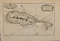
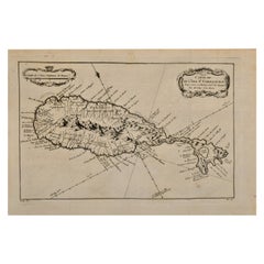
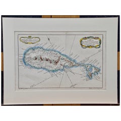
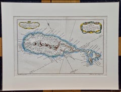
St. Christophe (St. Kitts): Bellin 18th Century Hand Colored Map

St. Christophe (St. Kitts): Bellin 18th Century Hand Colored Map

Located in Alamo, CA

It lies east of Puerto Rico, while Nevis is located to the south-east and the Dutch island of St. Eustatius is to the north-west. It was originally colonized by France and England, a...

Category

1740s Other Art Style Landscape Prints

Materials

Engraving

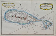
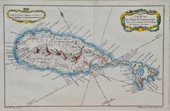
St. Christophe 'St. Kitts' Island: An 18th Century Hand-colored Map by Bellin

St. Christophe 'St. Kitts' Island: An 18th Century Hand-colored Map by Bellin

By Jacques-Nicolas Bellin

Located in Alamo, CA

It lies east of Puerto Rico, while Nevis is located to the south-east and the Dutch island of St. Eustatius is to the north-west. It was originally colonized by France and England, a...

Category

Antique Mid-18th Century French Maps

Materials

Paper

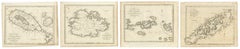
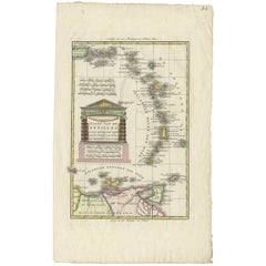
Antique Caribbean Maps of St. Kitts, Antigua, Virgin Islands & Tobago, 1818

Antique Caribbean Maps of St. Kitts, Antigua, Virgin Islands & Tobago, 1818

Located in Langweer, NL

Eustatius and St. Christopher's. 4. Map of the Island of Tobago Detailed engraved map of Tobago showing the island's mountainous interior, rivers, bays, settlements and historical ...

Category

Antique 1810s British Georgian Prints

Materials

Paper

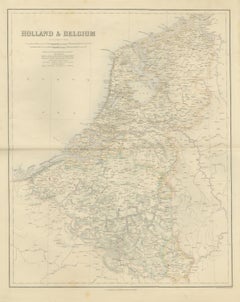
Antique Map of Holland and Belgium with Foreign Possessions Table, circa 1860

Antique Map of Holland and Belgium with Foreign Possessions Table, circa 1860

Located in Langweer, NL

Under "In the Indian Seas" it lists Amboyna and the other Spice Islands, the Banda Islands, Banca, the Island of Java, and settlements in Borneo, Celebes and Sumatra; under "On the C...

Category

Antique Mid-19th Century British Maps

Materials

Paper
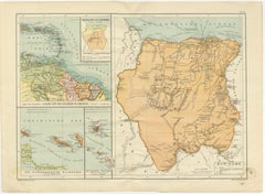
Suriname & the Dutch Antilles – Colonial Atlas Map by W.J. Thieme, c.1905

Suriname & the Dutch Antilles – Colonial Atlas Map by W.J. Thieme, c.1905

Located in Langweer, NL

Thieme, c.1905 This highly detailed antique Dutch colonial atlas map depicts Suriname together with the Dutch possessions in the Caribbean, including Curaçao, Aruba, Bonaire, St. Ma...

Category

Early 20th Century Dutch Prints

Materials

Paper

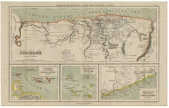
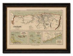
Suriname, Curaçao & Dutch Guinea – Jacob Kuyper Colonial Atlas Map, 1882

Suriname, Curaçao & Dutch Guinea – Jacob Kuyper Colonial Atlas Map, 1882

Located in Langweer, NL

Three inset maps below illustrate additional Dutch colonial territories: * Curaçao, Aruba, and Bonaire, * the Dutch Antilles including St. Eustatius, Saba, and St. Martin, * and the...

Category

Antique Late 19th Century Dutch Prints

Materials

Paper

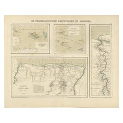
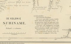
Antique Map of Dutch Colonies in the Caribbean & Suriname by Dornseiffen, 1884

Antique Map of Dutch Colonies in the Caribbean & Suriname by Dornseiffen, 1884

Located in Langweer, NL

The upper panels depict the Dutch Caribbean island groups, including Curaçao with Aruba and Bonaire, and the Lesser Antilles with St. Eustatius, Saba, St. Martin, and surrounding isl...

Category

Antique 1880s Dutch Maps

Materials

Paper
Recent Sales

Bellin 18th Century Hand Colored Map of St. Christophe (St. Kitts)

Bellin 18th Century Hand Colored Map of St. Christophe (St. Kitts)

By Jacques-Nicolas Bellin

Located in Alamo, CA

It lies east of Puerto Rico, while Nevis is located to the south-east and the Dutch island of St. Eustatius is to the north-west. It was originally colonized by France and England, a...

Category

Antique Mid-18th Century French Maps

Materials

Paper
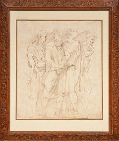
The Dacian Prisoners, a drawing by Girolamo da Carpi after P. da Caravaggio

The Dacian Prisoners, a drawing by Girolamo da Carpi after P. da Caravaggio

Located in PARIS, FR

The scene that inspired our drawing was located in the center of the façade of this palace on Piazza dei Capretarri in Rome (in the Piazza Navona district, opposite the Basilica of S...

Category

16th Century Old Masters Figurative Drawings and Watercolors

Materials

Paper, Ink, Pen

Bellin 18th Century Hand Colored Map of St. Christophe (St. Kitts)

Bellin 18th Century Hand Colored Map of St. Christophe (St. Kitts)

Located in Alamo, CA

It lies east of Puerto Rico, while Nevis is located to the south-east and the Dutch island of St. Eustatius is to the north-west. It was originally colonized by France and England, a...

Category

Late 18th Century Other Art Style Landscape Prints

Materials

Engraving

Antique Map of the Dutch Antilles 'Caribbean' by R. Bonne, circa 1780

Antique Map of the Dutch Antilles 'Caribbean' by R. Bonne, circa 1780

Located in Langweer, NL

This region typically includes islands such as Aruba, Bonaire, Curacao, Saba, St. Eustatius, and St. Maarten, among others, known for their historical ties to the Netherlands

Category

Antique Late 18th Century Maps

Materials

Paper
United States, Mexico & West Indies Map – Nieuwe Hand-Atlas, 1876

United States, Mexico & West Indies Map – Nieuwe Hand-Atlas, 1876

Located in Langweer, NL

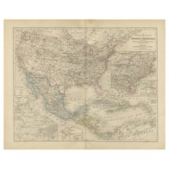
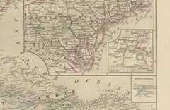
Insets highlight strategic and commercially important locations, including New York, San Francisco, Havana, Martinique, Guadeloupe, and St. Eustatius. These add valuable geographic c...

Category

Antique 1870s Dutch Maps

Materials

Paper
You May Also Like

Antique Map of the British Islands by J. Thomson, 1817

Antique Map of the British Islands by J. Thomson, 1817

Located in Langweer, NL

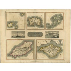
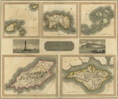
Group of 5 maps of the Channel Islands, Scilly, Jersey, the Isle of Mann and the Isle of Wight. Engraved views of the Eddystone Lighthouse and Freshwater Bay on the Isle of Wight, wi...

Category

Antique Early 19th Century Maps

Materials

Paper
Roseaux, St. Lucia Island Map by Bellin, Handcolored Engraving, 1763

Roseaux, St. Lucia Island Map by Bellin, Handcolored Engraving, 1763

Located in Langweer, NL

Dating back to around 1763, this antique hand-colored print, a creation by Jacques Nicolas Bellin, unveils a meticulously detailed "Plan du Cul de Sac des Roseaux dans l'Isle de Ste....

Category

Antique 1760s French Maps

Materials

Paper
Antique Map of Guadelupe in the Caribbean, 1759

Antique Map of Guadelupe in the Caribbean, 1759

$515

H 10.63 in W 13.59 in D 0.02 in

Antique Map of Guadelupe in the Caribbean, 1759

By Jacques-Nicolas Bellin

Located in Langweer, NL

Antique map titled 'Carte De L'Isle De La Guadeloupe'. Detailed map of Guadalupe, Mari-Galante and the Isles de Saintes. Produced by Nichlas Bellin for Prevost d'Exiles influential t...

Category

Antique Mid-18th Century French Maps

Materials

Paper
Antique Panoramic View of the Town of Malacca, Malaysia, 1726

Antique Panoramic View of the Town of Malacca, Malaysia, 1726

$681Sale Price|30% Off

H 13.39 in W 21.26 in D 0 in

Antique Panoramic View of the Town of Malacca, Malaysia, 1726

Located in Langweer, NL

Antique print Malaysia titled 'De Stad Malacka'. Decorative panoramic view of the town of Malacca with European vessels in the foreground. The old Church of St. Paul's on the hil...

Category

Antique 1720s Maps

Materials

Paper
Bird's Eye View of Dabhol as Seen from the Sea, North of Goa, India, 1727

Bird's Eye View of Dabhol as Seen from the Sea, North of Goa, India, 1727

$282Sale Price|19% Off

H 11.82 in W 16.15 in D 0 in

Bird's Eye View of Dabhol as Seen from the Sea, North of Goa, India, 1727

Located in Langweer, NL

Antique print titled 'De Bay ende Stadt Dabul'. Bird's eye view of Dabhol as seen from the sea. The city is situated on the Vashishti river, north of Goa in India, on the Malabar...

Category

Antique 1720s Maps

Materials

Paper
Antique Print of the Bay of Sierra Leone by J. Van Der Schley, 1758

Antique Print of the Bay of Sierra Leone by J. Van Der Schley, 1758

Located in Langweer, NL

Beautiful map and bird's-eye view of the Bay of Sierra Leone. While these maps by Van Schley after Bellin were initially made for 'Histoire Generale des Voyages' (Paris, 1746-1759), ...

Category

Antique Mid-18th Century Prints

Materials

Paper
Antique Print of the Coast of Dabhol 'India', 1726

Antique Print of the Coast of Dabhol 'India', 1726

$329Sale Price|23% Off

H 13 in W 15.16 in D 0.02 in

Antique Print of the Coast of Dabhol 'India', 1726

By F. Valentijn

Located in Langweer, NL

Antique print titled 'De Kust van Dabul'. Antique print of the coastline near Dabhol in India. This print originates from 'Oud en Nieuw Oost-Indiën' by F. Valentijn.

Category

Antique Early 18th Century Dutch Prints

Materials

Paper
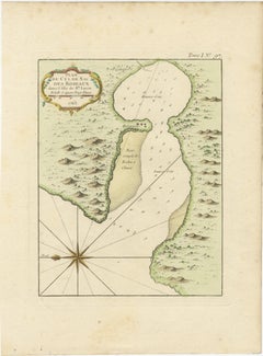
The Cape Verde Islands Coast Antique Engraving by Van Schley, 1747

The Cape Verde Islands Coast Antique Engraving by Van Schley, 1747

Located in Langweer, NL

Antique map titled ‘Carte Exacte de la cote du Cap Verd (..) - Naauwkeurige Kaart van de Kust van Kabo Verde (..)'. Original antique map of the coast of the Cape Verde Islands. This ...

Category

Antique 18th Century Maps

Materials

Paper
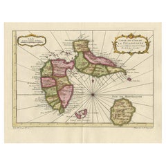
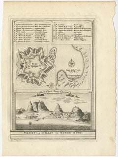
Old Print with a View of the Cape of Good Hope and Table Bay, South Africa, 1750

Old Print with a View of the Cape of Good Hope and Table Bay, South Africa, 1750

Located in Langweer, NL

Antique print titled 'Gezigt van de Kaap de Goede-Hoop'. Old print with a view of the Cape of Good Hope and Table Bay. Engraved by J. van Schley for a Dutch edition of 'l'Histoir...

Category

Antique 1750s Maps

Materials

Paper
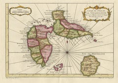
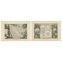
French Colonies in the Caribbean: Maps of Martinique and Guadeloupe (1852)

French Colonies in the Caribbean: Maps of Martinique and Guadeloupe (1852)

$302Sale Price / set|20% Off

H 14.18 in W 21.26 in D 0 in

French Colonies in the Caribbean: Maps of Martinique and Guadeloupe (1852)

Located in Langweer, NL

This pair of maps, published in 1852, provides a detailed representation of the French Caribbean colonies, specifically Martinique and Guadeloupe. They were part of the *Atlas Univer...

Category

Antique 1850s Maps

Materials

Paper
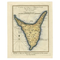
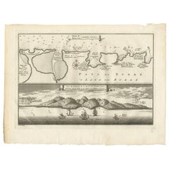
Antique Map of the Island Anjouan by Van Schley, c.1750

Antique Map of the Island Anjouan by Van Schley, c.1750

Located in Langweer, NL

Antique map titled 'Carte de l'Isle d'Anjouan une des Isles de Comore'. Striking map of the Island Anjouan, part of the Comoros in the Indian Ocean by Nicolas Bellin. Source unknown,...

Category

Antique 18th Century Maps

Materials

Paper

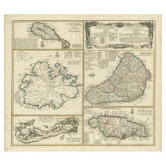
Original Old Map of St Kitts, Antigua, Bermuda, Barbados, and Jamaica, ca.1745

Original Old Map of St Kitts, Antigua, Bermuda, Barbados, and Jamaica, ca.1745

Located in Langweer, NL

Antique map titled 'Dominia Anglorum in praecipuis Insulis Americae ut sunt Insula S. Christophori, Antegoa, Iamaica, Barbados nec non Insulae Bermudes vel Sommers dictae. Die Englis...

Category

Antique 1740s Maps

Materials

Paper
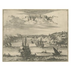
Antique Map of Juan Fernandez Island by Anson '1749'

Antique Map of Juan Fernandez Island by Anson '1749'

$183Sale Price|20% Off

H 10.44 in W 16.54 in D 0.02 in

Antique Map of Juan Fernandez Island by Anson '1749'

Located in Langweer, NL

Antique map titled 'l'Ile de Juan Fernandes dans la Mer du Sud (..) - Het Eiland Juan Fernandes in de Zuid Zee (..)'. This map depicts Juan Fernandez Island in the Southern Sea. This...

Category

Antique Mid-18th Century Maps

Materials

Paper
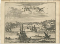
Antique Print of the City of Dabhol 'India' by Valentijn '1726'

Antique Print of the City of Dabhol 'India' by Valentijn '1726'

By F. Valentijn

Located in Langweer, NL

Antique print titled 'De Stadt Dabul'. Antique print depicting the City of Dabhol in India. This print originates from 'Oud en Nieuw Oost-Indiën' by F. Valentijn.

Category

Antique Early 18th Century Dutch Prints

Materials

Paper
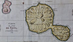
Captain Cook's Exploration of Tahiti: 18th C. Hand-colored Map by Bellin

Captain Cook's Exploration of Tahiti: 18th C. Hand-colored Map by Bellin

By Jacques-Nicolas Bellin

Located in Alamo, CA

This beautiful 18th century hand-colored copper plate engraved map is entitled "Carte de l'Isle de Taiti, par le Lieutenant J. Cook" was created by Jacques Nicolas Bellin and publish...

Category

Late 18th Century Landscape Prints

Materials

Engraving

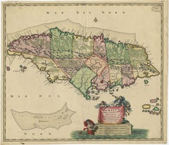
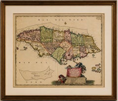
Antique Hand-Colored Map of Jamaica, circa 1680

Antique Hand-Colored Map of Jamaica, circa 1680

$2,233

H 20.24 in W 24.3 in D 0.01 in

Antique Hand-Colored Map of Jamaica, circa 1680

Located in Langweer, NL

Antique Hand-Colored Map of Jamaica and the Caribbean, circa 1680 A large and highly decorative 17th-century map of Jamaica by the Dutch cartographer and publisher Nicolaes Visscher...

Category

Antique 1720s Dutch Baroque Maps

Materials

Paper

People Also Browsed

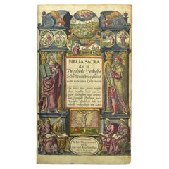
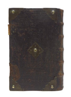
Hand-colored 16th century copy of the famous Moerentorf Bible

Hand-colored 16th century copy of the famous Moerentorf Bible

$29,774Sale Price|20% Off

H 13 in W 10.63 in D 4.34 in

Hand-colored 16th century copy of the famous Moerentorf Bible

By Henry Moret

Located in ZWIJNDRECHT, NL

Publisher: Daniel Vervliet and Hendrik Swingen for Jan I Moretus & Jan I van Keerberghen Place / Date: Antwerp, 1599 Biblia sacra. Dat is de geheele heylighe schrifture...

Category

Antique 16th Century Belgian Baroque Books

Materials

Wood, Paper
English Regency Style Novelty Mounted Globe Bar

English Regency Style Novelty Mounted Globe Bar

Located in Queens, NY

English Regency-style (Mid-Century) novelty bar concealed in a bisected hinged globe head mounted on a round three legged stand on casters.

Category

Mid-20th Century American Mid-Century Modern Globes

Antique Bible Print Peter's Sermon at Pentecost by J. Luyken, 1743

Antique Bible Print Peter's Sermon at Pentecost by J. Luyken, 1743

Located in Langweer, NL

This print originates from ‘Biblia Sacra, dat is, de H. Schriftuer van het Oude, en het Nieuwe Testament, naer de laetste Roomsche keure der gemeine Latijnsche overzettinge, in neder...
Category

Antique Mid-18th Century Prints

Materials

Paper

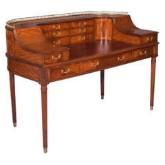
19th Century English Satinwood Carlton House Desk Attributed to Gillows

19th Century English Satinwood Carlton House Desk Attributed to Gillows

By Gillows of Lancaster & London

Located in Dublin, IE

An exceptional 19th century satinwood Carlton House desk attributed to Gillows of Lancaster, the curved superstructure with pierced brass gallery, fitted with two banks of three draw...

Category

Antique 19th Century English Georgian Desks and Writing Tables

Materials

Satinwood

French Riviera Rattan Mirror in the Style of Vivai del Sud, France, 1960s

French Riviera Rattan Mirror in the Style of Vivai del Sud, France, 1960s

$558Sale Price|24% Off

H 15.95 in W 11.82 in D 0.79 in

French Riviera Rattan Mirror in the Style of Vivai del Sud, France, 1960s

By Vivai del Sud

Located in Valencia, VC

Charming French Riviera Mid-Century Rattan Mirror, circa 1960s A lovely small French Riviera rattan mirror, handmade in France circa the 1960s. In the style of Vivai del Sud, this p...

Category

Vintage 1960s French Mid-Century Modern Wall Mirrors

Materials

Rattan, Wood

Mahogany Regulator Longcase Clock of Month Duration

Mahogany Regulator Longcase Clock of Month Duration

Located in Norwich, GB

Regulator longcase clock of month duration Early Victorian mahogany regulator standing on a raised, moulded plinth with centre panel to the base. Long trunk door with finely f...

Category

Antique 19th Century British Victorian Grandfather Clocks and Longcase C...

Materials

Mahogany

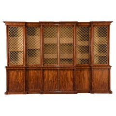
Large Late Regency Six Door Mahogany Bookcase Attributed to Gillows

Large Late Regency Six Door Mahogany Bookcase Attributed to Gillows

Located in Lymington, Hampshire

A large and impressive late Regency six door mahogany bookcase attributed to Gillows, the upper section with a triple breakfront cornice above glazed doors with brass diamond trellis...

Category

Antique 1810s English Regency Bookcases

Materials

Mahogany

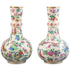
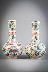
Pair of French Porcelain Vases, circa 1840

Pair of French Porcelain Vases, circa 1840

$7,200 / set

H 11.5 in Dm 2.5 in

Pair of French Porcelain Vases, circa 1840

Located in New York, NY

Depicting butterflies with flowers and berries.

Category

Antique Mid-19th Century French Vases

Materials

Porcelain

PAIR OF HERMES PARIS KELLY WICKER & BROWN LEATHER PICNIC WiNE COOLERS PART SUITE

PAIR OF HERMES PARIS KELLY WICKER & BROWN LEATHER PICNIC WiNE COOLERS PART SUITE

By Hermès

Located in West Sussex, Pulborough

Royal House Antiques Royal House Antiques is delighted to offer for sale this once in a lifetime opportunity to own this custom made pair of Wine Coolers which are part of a suite ...

Category

20th Century French Art Deco Wine Coolers

Materials

Leather, Wicker

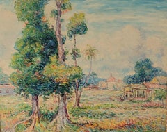
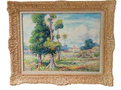
Mango Trees, Rio Piedras, Puerto Rico

Mango Trees, Rio Piedras, Puerto Rico

By Reynolds Beal

Located in Saratoga Springs, NY

Signed lower left and dated 1921. This radiant landscape bursts with Beal’s signature vibrancy and plein air spontaneity. In the foreground left, a flourishing mango tree fans its l...

Category

1920s Impressionist Landscape Paintings

Materials

Canvas, Oil

Organic Rattan Table Lamp OOM- Handcrafted Reed Natural Rattan Desk Lamp

Organic Rattan Table Lamp OOM- Handcrafted Reed Natural Rattan Desk Lamp

Located in Oxford, GB

A compact, eco-friendly lamp crafted from natural rattan, offering a warm, textured aesthetic perfect for cozy spaces. Its small size fits effortlessly on desks, shelves, or bedside ...

Category

2010s Philippine Organic Modern Table Lamps

Materials

Brass

Pair Blue and White Antique Wedgwood Soup Tureens Mared Pattern Circa 1830

Pair Blue and White Antique Wedgwood Soup Tureens Mared Pattern Circa 1830

By Josiah Wedgwood

Located in Katonah, NY

This exquisite pair of Wedgwood blue and white Mared pattern soup tureens was made in England circa 1830. The design features a loop of delicate "pearls" encircling the center, compl...

Category

Antique Early 19th Century English Neoclassical Soup Tureens

Materials

Pearlware

Large Antique American Impressionist Tropical Nassau Bahamas Seascape Sailboat

Large Antique American Impressionist Tropical Nassau Bahamas Seascape Sailboat

Located in Buffalo, NY

Antique American impressionist seascape oil painting by Ralph Von Lehmden (Born 1908). Oil on canvas. Signed. Framed. Measuring 15 by 22 inches overall and 13 by 20 painting alone.

Category

1930s Impressionist Figurative Paintings

Materials

Canvas, Oil

George Unite Antique Victorian Sterling Silver Card Case

George Unite Antique Victorian Sterling Silver Card Case

By George Unite

Located in Jesmond, Newcastle Upon Tyne

An exceptional, fine and impressive antique Victorian English sterling silver card case; an addition to our range of collectable silverware. This exceptional antique Victorian sterl...

Category

Antique 1840s English Victorian Sterling Silver

Materials

Silver, Sterling Silver

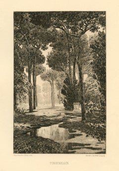
"Pinienhain" original etching

"Pinienhain" original etching

Located in Henderson, NV

Medium: original etching. Printed in 1900 and published in Leipzig, Germany for Zeitschrift für Bildende Kunst. This impression is printed on cream wove paper, and the image size is ...

Category

Early 1900s Realist Prints and Multiples

Materials

Etching

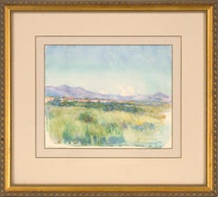
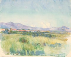
"Sierra Maestre" Watercolor Landscape, American Impressionist, 1910s

"Sierra Maestre" Watercolor Landscape, American Impressionist, 1910s

Located in Soquel, CA

Idyllic watercolor of grassland and mountains in Cuba by Leonard Lester (English, 1870-1952). A large, grasy field stretches out from the viewer, lush and full of plants. At the far ...

Category

1910s American Impressionist Landscape Drawings and Watercolors

Materials

Paper, Watercolor

Get Updated with New Arrivals
Save "St Eustatius", and we’ll notify you when there are new listings in this category.