
Want more images or videos?
Request additional images or videos from the seller.

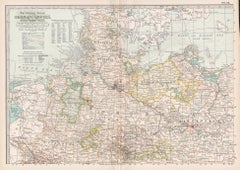
Antique Map of Northern Germany by Petri, c.1873

$116.22
£87.83
€103VAT Included
CA$165.70
A$170.83
CHF 97.06
MX$2,162.33
NOK 1,111.49
SEK 1,164.42
DKK 785.39

About the Item

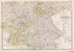
Antique map titled 'Noord-Duitschland'. Old map depicting northern Germany. This map originates from 'School-Atlas van alle Deelen der Aarde'. Artists and Engravers: Published by O. Petri, Rotterdam. Artist: Published by O. Petri, Rotterdam. Condition: Good, general age-related toning. Split on folding line, please study image carefully. Date: c.1873 Overall size: 32.9 x 26.2 cm. Image size: 0.001 x 28.6 x 22.5 cm. Antique prints have long been appreciated for both their aesthetic and investment value. They were the product of engraved, etched or lithographed plates. These plates were handmade out of wood or metal, which required an incredible level of skill, patience and craftsmanship. Whether you have a house with Victorian furniture or more contemporary decor an old engraving can enhance your living space. We offer a wide range of authentic antique prints for any budget.
  • Dimensions:
    Height: 10.32 in (26.2 cm)Width: 12.96 in (32.9 cm)Depth: 0 in (0.01 mm)
  • Materials and Techniques:
  • Period:
  • Date of Manufacture:
    circa 1873
  • Condition:
  • Seller Location:
    Langweer, NL
  • Reference Number:
    Seller: BG-06667-141stDibs: LU3054327622242

More From This Seller

View All
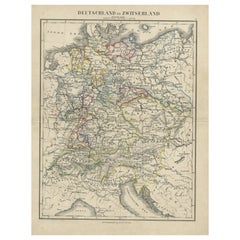
Antique Map of Germany and Switzerland from an Old Dutch School Atlas, c.1873

Antique Map of Germany and Switzerland from an Old Dutch School Atlas, c.1873

Located in Langweer, NL

Antique map titled 'Deutschland en Zwitserland'. Old map depicting Germany and Switzerland. This map originates from 'School-Atlas van alle Deelen der Aarde'. Artists and Engravers: ...

Category

Antique 19th Century Maps

Materials

Paper
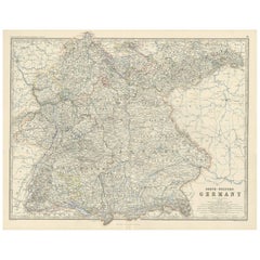
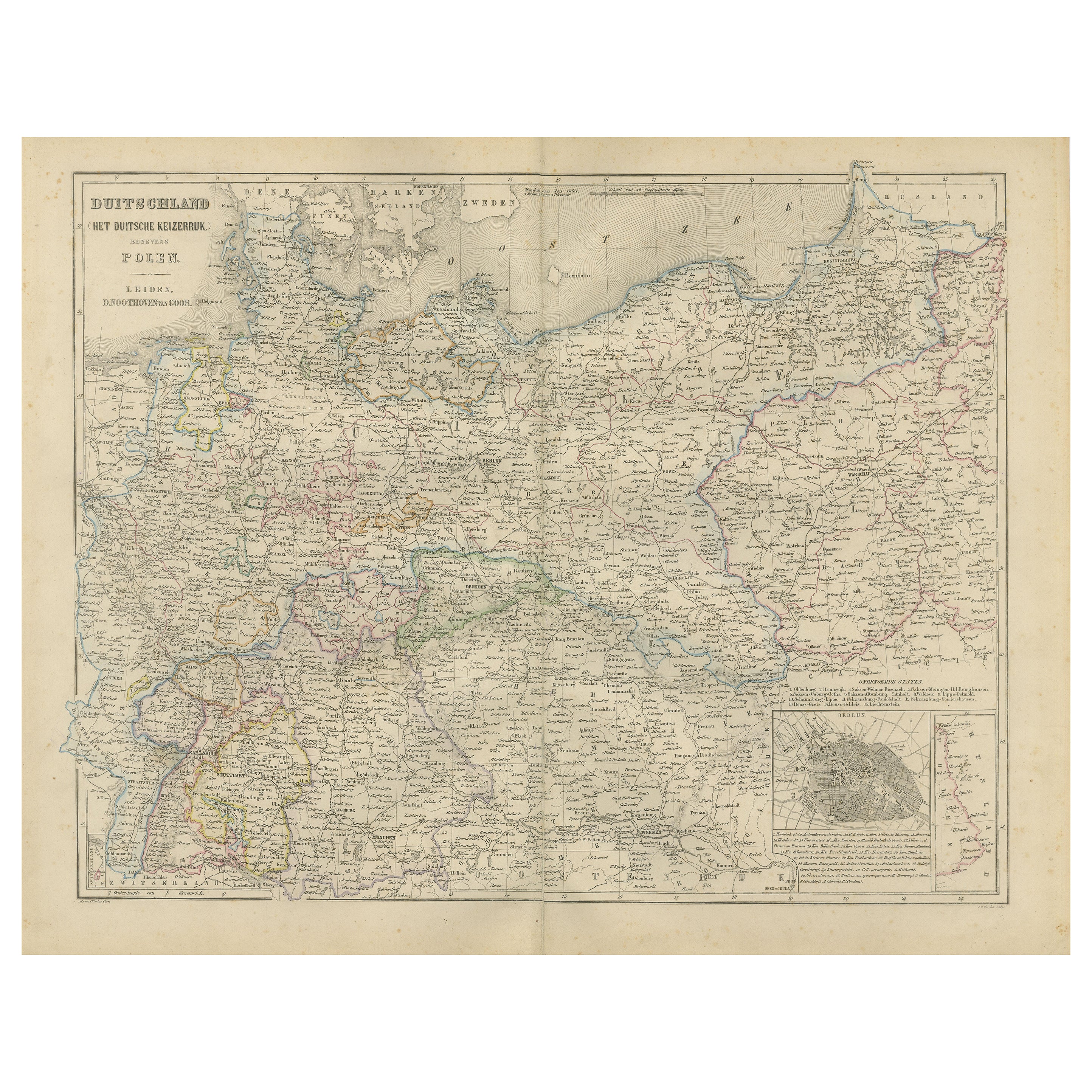
Antique Map of South-Western Germany by A.K. Johnston, 1865

Antique Map of South-Western Germany by A.K. Johnston, 1865

Located in Langweer, NL

Antique map titled 'South-Western Germany'. This map originates from the ‘Royal Atlas of Modern Geography’ by Alexander Keith Johnston. Published by William Blackwood and Sons, Edinb...

Category

Antique Mid-19th Century Maps

Materials

Paper

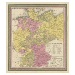
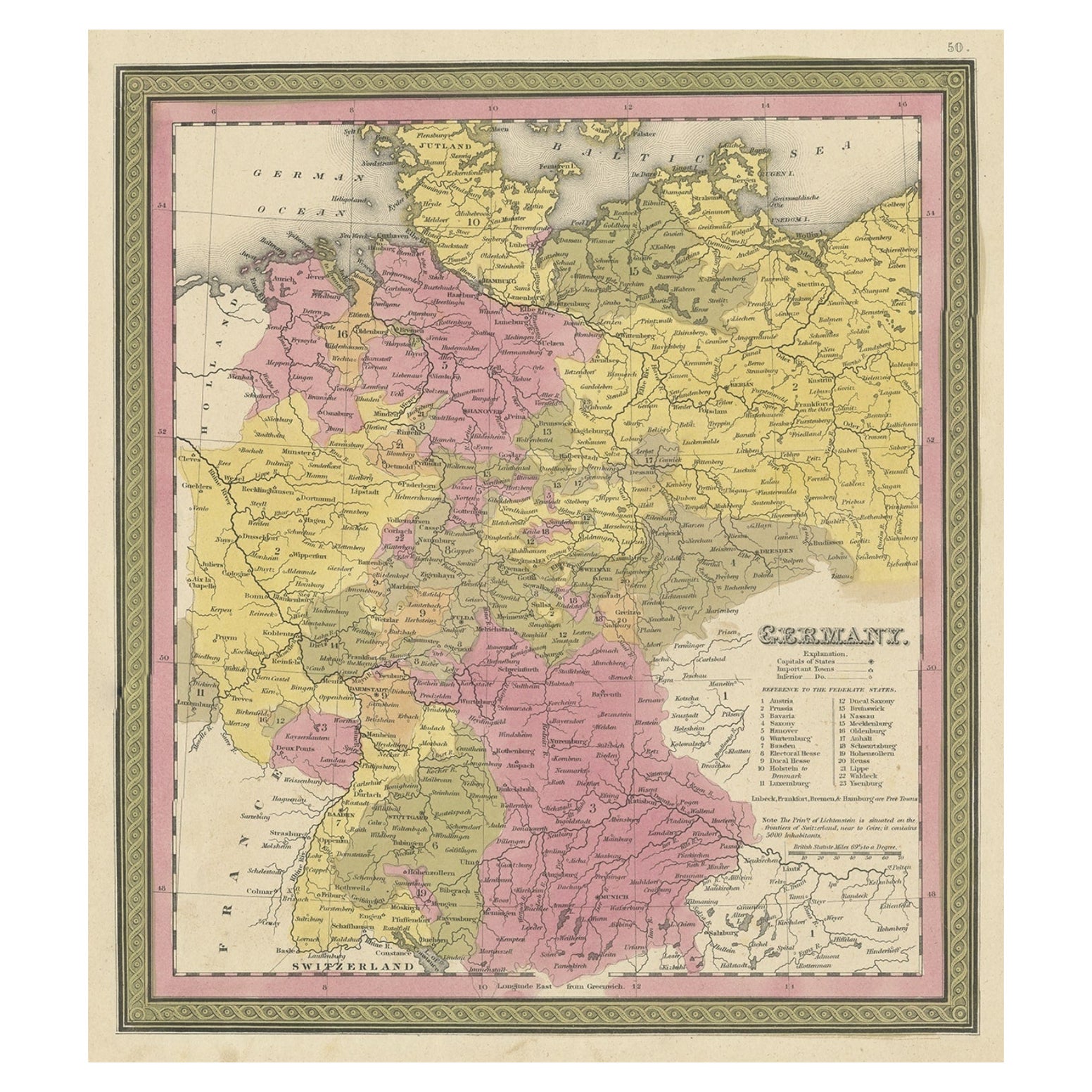
Decorative Antique Map of Germany, 1846

Decorative Antique Map of Germany, 1846

Located in Langweer, NL

Antique map titled 'Germany'. Old map of Germany. This map originates from 'A New Universal Atlas Containing Maps of the various Empires, Kingdoms, ...

Category

Antique 1840s Maps

Materials

Paper

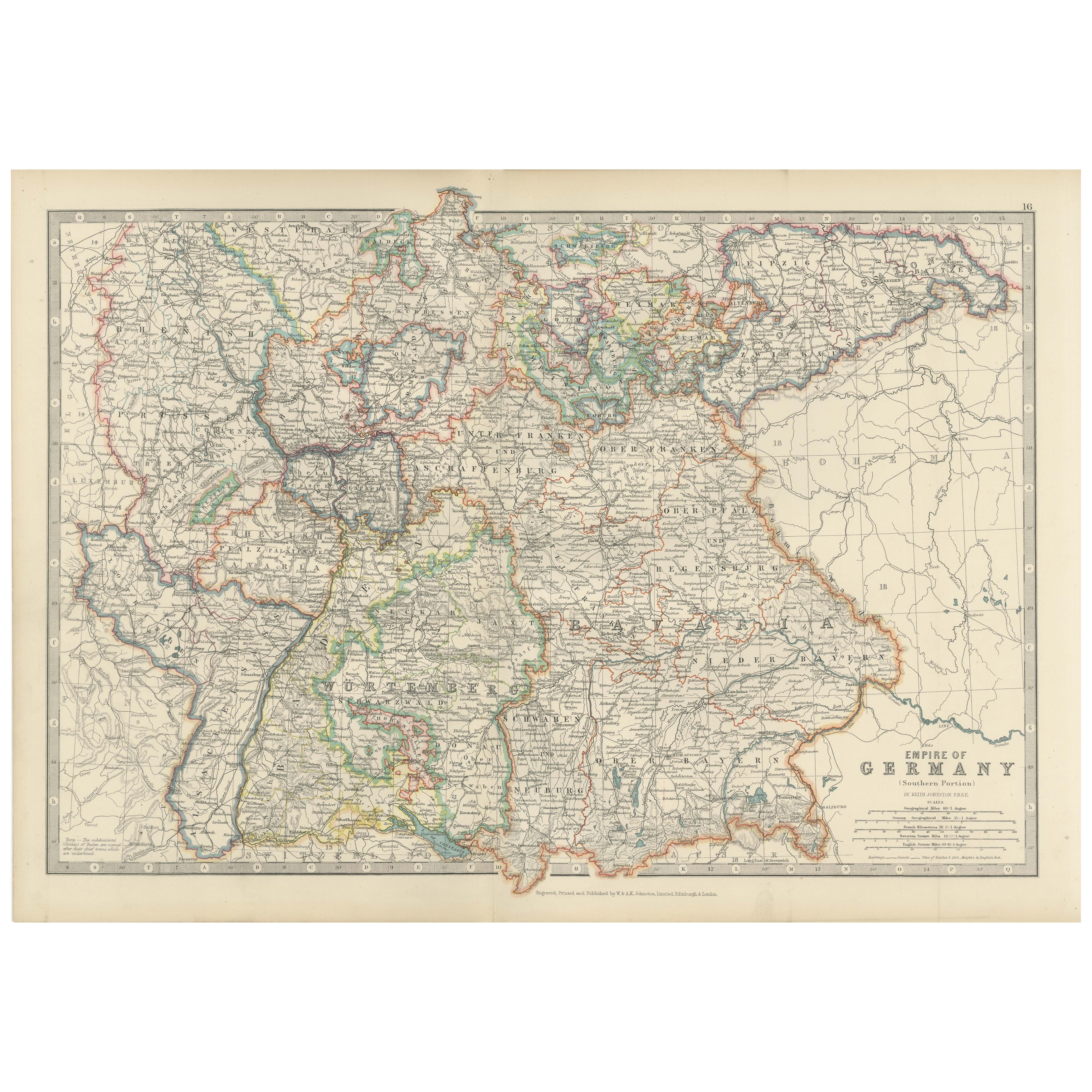
Antique Map of Germany by Johnston '1909'

Antique Map of Germany by Johnston '1909'

Located in Langweer, NL

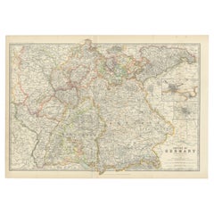
Antique map titled 'Empire of Germany'. Original antique map of Germany. With inset maps of Frankfurt and Munich. This map originates from the ‘...

Category

Early 20th Century Maps

Materials

Paper

Antique Map of Germany by Walker, 1820

Antique Map of Germany by Walker, 1820

By R. Walker

Located in Langweer, NL

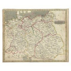
Antique map Germany titled 'Map of Germany as defined by the Peace of Paris'. Detailed antique map of Germany. Artists and Engravers: Engrav...

Category

Antique 19th Century Maps

Materials

Paper
You May Also Like

1853 Map of "Russia in Europe Including Poland" Ric.r016

1853 Map of "Russia in Europe Including Poland" Ric.r016

Located in Norton, MA

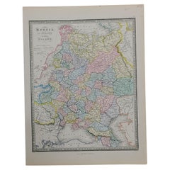
Description Russia in Europe incl. Poland by J Wyld c.1853 Hand coloured steel engraving Dimension: Paper: 25 cm W x 33 cm H ; Sight: 22 cm W x 28 cm H Condition: Good ...

Category

Antique 19th Century Unknown Maps

Materials

Paper

1849 Map of "Europaische Russland", 'Meyer Map of European Russia', Ric. R017

1849 Map of "Europaische Russland", 'Meyer Map of European Russia', Ric. R017

Located in Norton, MA

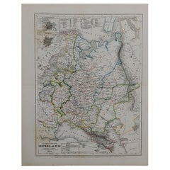
1849 Map of "Europaische Russland" ( Meyer Map of European Russia) Ric.r017 A lovely map of European Russia dating to 1849 by Joseph Meyer. It covers the European portions of...

Category

Antique 19th Century Unknown Maps

Materials

Paper

1839 Map of Karte Des "Russischen Reiches in Europa Und Asien" Ric.R0013

1839 Map of Karte Des "Russischen Reiches in Europa Und Asien" Ric.R0013

Located in Norton, MA

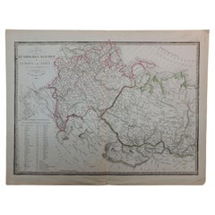
1839 map of Karte Des "Russischen Reiches in Europa and Asien" Ric.r013 Map of the European and Asian parts of Russian Empire. Karte der Russischen Reiches in Europa und Asien...

Category

Antique 19th Century Unknown Maps

Materials

Paper

1832 Large Map "Russian & Poland" Ric. R0012

1832 Large Map "Russian & Poland" Ric. R0012

Located in Norton, MA

Large map 1832 "Russian & Poland" Ric.r0012 Russia & Poland, by J. Arrowsmith. London, pubd. 15 Feby. 1832 by J. Arrowsmith, 35 Essex Street, S...

Category

Antique 19th Century Unknown Maps

Materials

Paper