Video Loading
Want more images or videos?
Request additional images or videos from the seller.

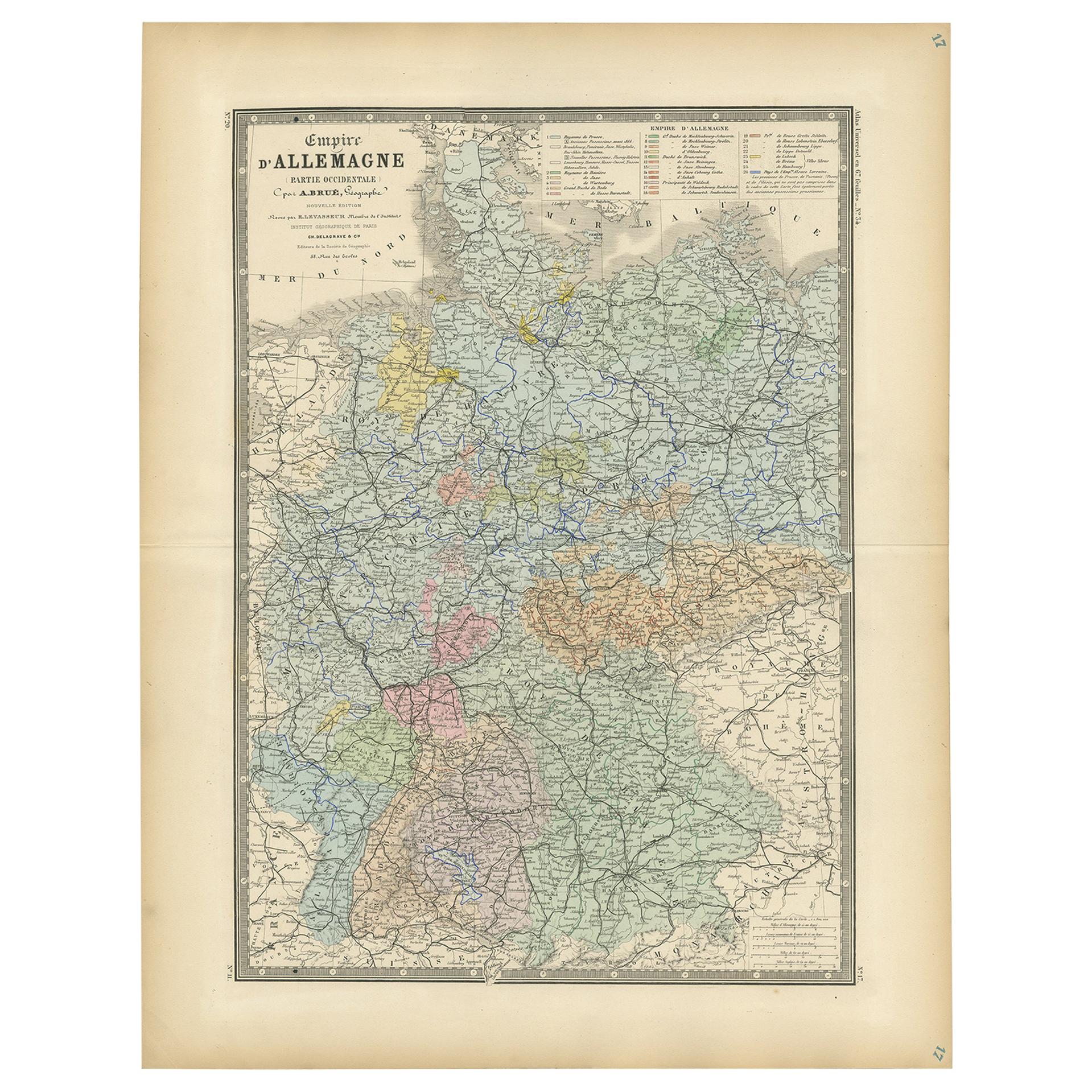
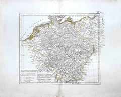
Antique Map of Northeastern Germany – Saxon & Prussian States, 1858

$383.64
£289.92
€340VAT Included
CA$546.97
A$563.89
CHF 320.40
MX$7,137.80
NOK 3,668.99
SEK 3,843.73
DKK 2,592.54

About the Item

Antique Map of Northeastern Germany – Saxon & Prussian States, 1858 Detailed and finely engraved map titled "Nord-Östliches Deutschland enthaltend die Sächsischen Länder und die Preussischen Provinzen Sachsen, Brandenburg, Pommern...", published by Justus Perthes in Gotha in 1858. This large-format copperplate engraving offers a comprehensive view of northeastern Germany in the mid-19th century, just prior to unification. The map covers key Prussian provinces such as Brandenburg, Saxony, and Pomerania, as well as Mecklenburg-Schwerin, Mecklenburg-Strelitz, Brunswick, and parts of Hanover, Hamburg, and Schleswig-Holstein. The Baltic Sea (Ostsee) borders the map to the north, with major port cities like Stettin (Szczecin), Danzig (Gdańsk), and Königsberg (Kaliningrad) indicated. Each territory is outlined in delicate hand-applied color, corresponding to the key at right which classifies the lands by political status—e.g., Königreich (kingdoms), Großherzogthümer (grand duchies), Herzogthümer (duchies), and Freie Städte (free cities). Rivers, roads, and cities are densely plotted, and topographical shading shows elevations, especially in Saxony and Silesia. Notable cities include Berlin, Dresden, Leipzig, Magdeburg, Breslau (Wrocław), and Stettin, forming a web of political, cultural, and industrial influence that would later form the core of the German Empire. This map is not only cartographically beautiful but also historically significant, capturing the pre-unification German landscape in rich administrative and geographical detail. Ideal for historians, map collectors, and those with ancestry in northern or eastern Germany. Condition report: Good condition. Minor toning in outer margins. No tears or repairs. Original hand-coloring well-preserved. Please examine the image closely for specifics. Framing tips: Consider a medium-dark wood frame (walnut or ebony) with an ivory mat. A thin inner line in Prussian blue or red could echo the map’s regional outlines. Suitable for academic, genealogical, or historical interiors. Technique: Copperplate engraving with original hand-coloring Maker: Justus Perthes, Gotha, 1858
  • Dimensions:
    Height: 14.77 in (37.5 cm)Width: 17.88 in (45.4 cm)Depth: 0.01 in (0.2 mm)
  • Materials and Techniques:
    Paper,Engraved
  • Place of Origin:
  • Period:
  • Date of Manufacture:
    1858
  • Condition:
    Good condition. Minor toning in outer margins. No tears or repairs. Original hand-coloring well-preserved. Please examine the image closely for specifics.
  • Seller Location:
    Langweer, NL
  • Reference Number:
    Seller: BG-05552-291stDibs: LU3054346118142

More From This Seller

View All
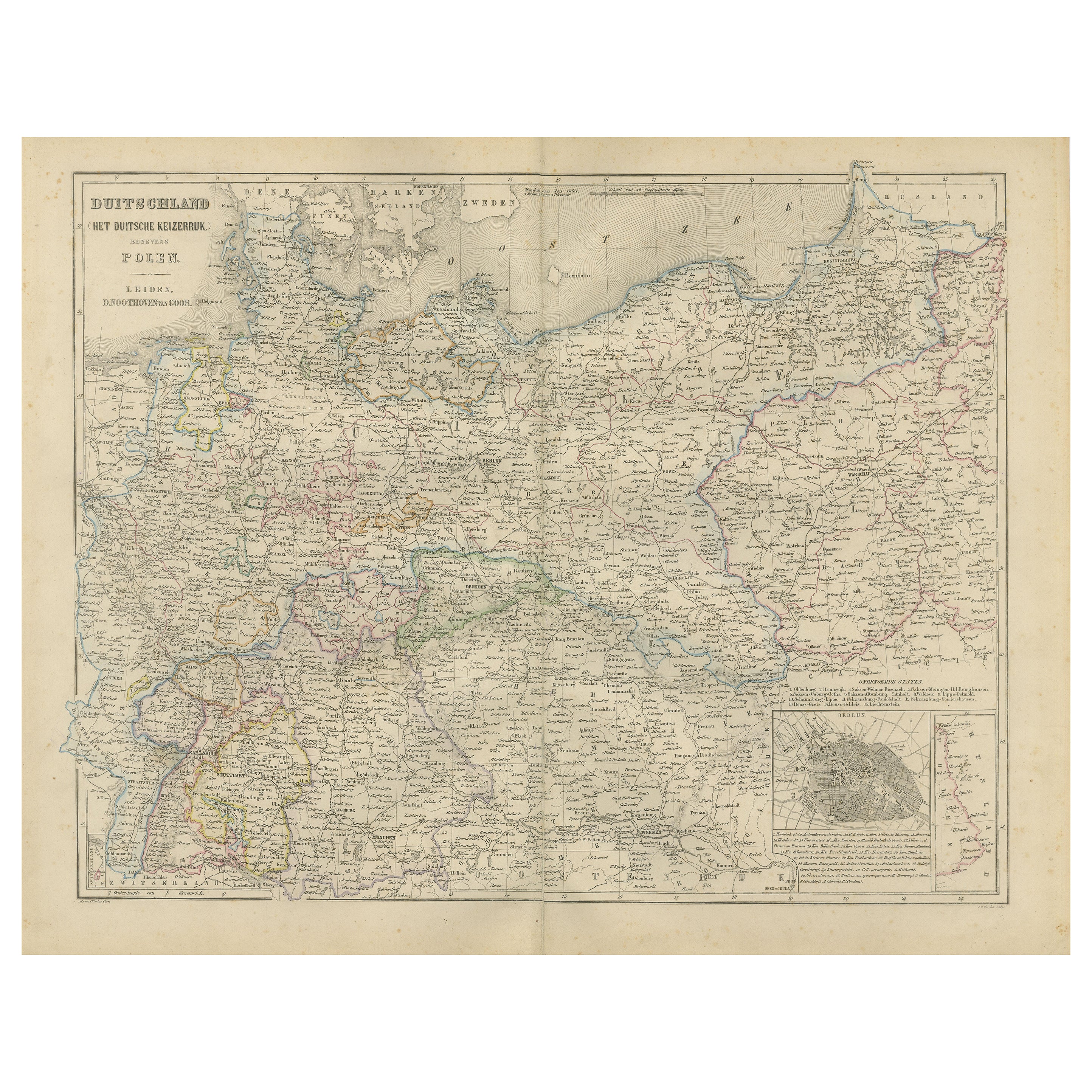
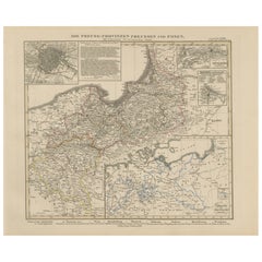
Antique Map of Prussia & Posen – Insets of Berlin, Königsberg & Danzig, 1858

Antique Map of Prussia & Posen – Insets of Berlin, Königsberg & Danzig, 1858

Located in Langweer, NL

Antique Map of Prussia & Posen – With Insets of Berlin, Königsberg & Danzig, 1858 Highly detailed and information-rich map titled "Die Preuss: Provinzen Preussen und Posen", publish...

Category

Antique Mid-19th Century German Maps

Materials

Paper

Antique Map of The German Empire (East Sheet), 1882

Antique Map of The German Empire (East Sheet), 1882

Located in Langweer, NL

Step into history with an authentic Antique Map of The German Empire (East Sheet) from the esteemed 'Comprehensive Atlas and Geography of the World,' meticulously crafted in 1882. Th...

Category

Antique 1880s Maps

Materials

Paper

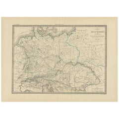
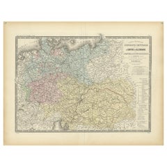
Antique Map of the German Empire by Levasseur, '1875'

Antique Map of the German Empire by Levasseur, '1875'

Located in Langweer, NL

Antique map titled 'Carte générale de l'Europe Centrale (..)'. Large map of the German Empire. This map originates from 'Atlas de Géographie Moderne Phys...

Category

Antique Late 19th Century Maps

Materials

Paper

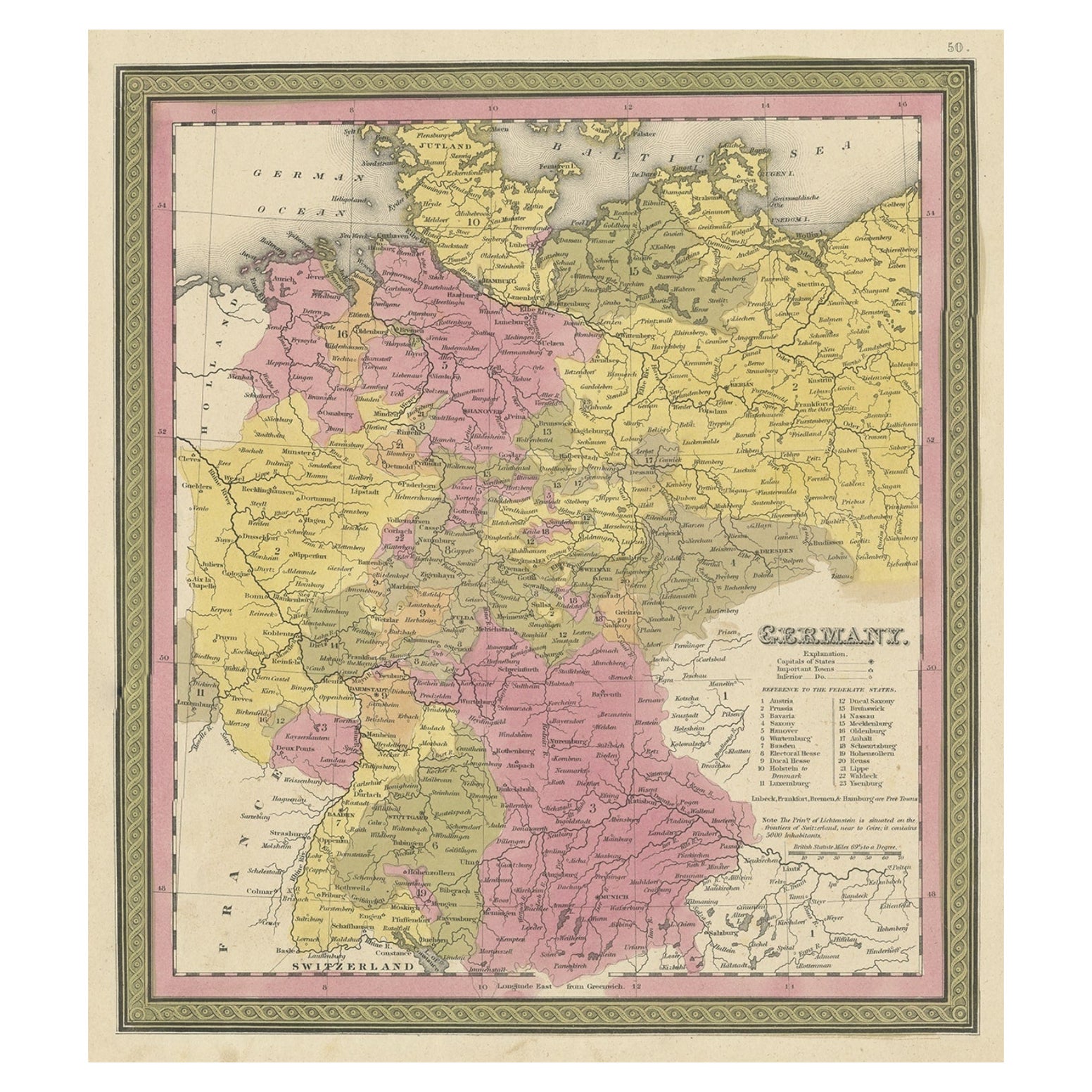
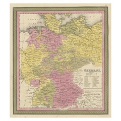
Decorative Antique Map of Germany, 1846

Decorative Antique Map of Germany, 1846

Located in Langweer, NL

Antique map titled 'Germany'. Old map of Germany. This map originates from 'A New Universal Atlas Containing Maps of the various Empires, Kingdoms, ...

Category

Antique 1840s Maps

Materials

Paper

You May Also Like

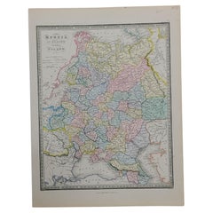
1853 Map of "Russia in Europe Including Poland" Ric.r016

1853 Map of "Russia in Europe Including Poland" Ric.r016

Located in Norton, MA

Description Russia in Europe incl. Poland by J Wyld c.1853 Hand coloured steel engraving Dimension: Paper: 25 cm W x 33 cm H ; Sight: 22 cm W x 28 cm H Condition: Good ...

Category

Antique 19th Century Unknown Maps

Materials

Paper

1839 Map of Karte Des "Russischen Reiches in Europa Und Asien" Ric.R0013

1839 Map of Karte Des "Russischen Reiches in Europa Und Asien" Ric.R0013

Located in Norton, MA

1839 map of Karte Des "Russischen Reiches in Europa and Asien" Ric.r013 Map of the European and Asian parts of Russian Empire. Karte der Russischen Reiches in Europa und Asien...

Category

Antique 19th Century Unknown Maps

Materials

Paper

1849 Map of "Europaische Russland", 'Meyer Map of European Russia', Ric. R017

1849 Map of "Europaische Russland", 'Meyer Map of European Russia', Ric. R017

Located in Norton, MA

1849 Map of "Europaische Russland" ( Meyer Map of European Russia) Ric.r017 A lovely map of European Russia dating to 1849 by Joseph Meyer. It covers the European portions of...

Category

Antique 19th Century Unknown Maps

Materials

Paper

1832 Large Map "Russian & Poland" Ric. R0012

1832 Large Map "Russian & Poland" Ric. R0012

Located in Norton, MA

Large map 1832 "Russian & Poland" Ric.r0012 Russia & Poland, by J. Arrowsmith. London, pubd. 15 Feby. 1832 by J. Arrowsmith, 35 Essex Street, S...

Category

Antique 19th Century Unknown Maps

Materials

Paper

Map of Germany - Original Etching - 1820

Map of Germany - Original Etching - 1820

Located in Roma, IT

Map of Germany is an Original Etching realized by an unknown artist of 19th century in 1820. Very good condition on two sheets of white paper joined at...

Category

1820s Modern Figurative Prints

Materials

Etching

1851 Map of "Independent Tartary", Ric. R018

1851 Map of "Independent Tartary", Ric. R018

Located in Norton, MA

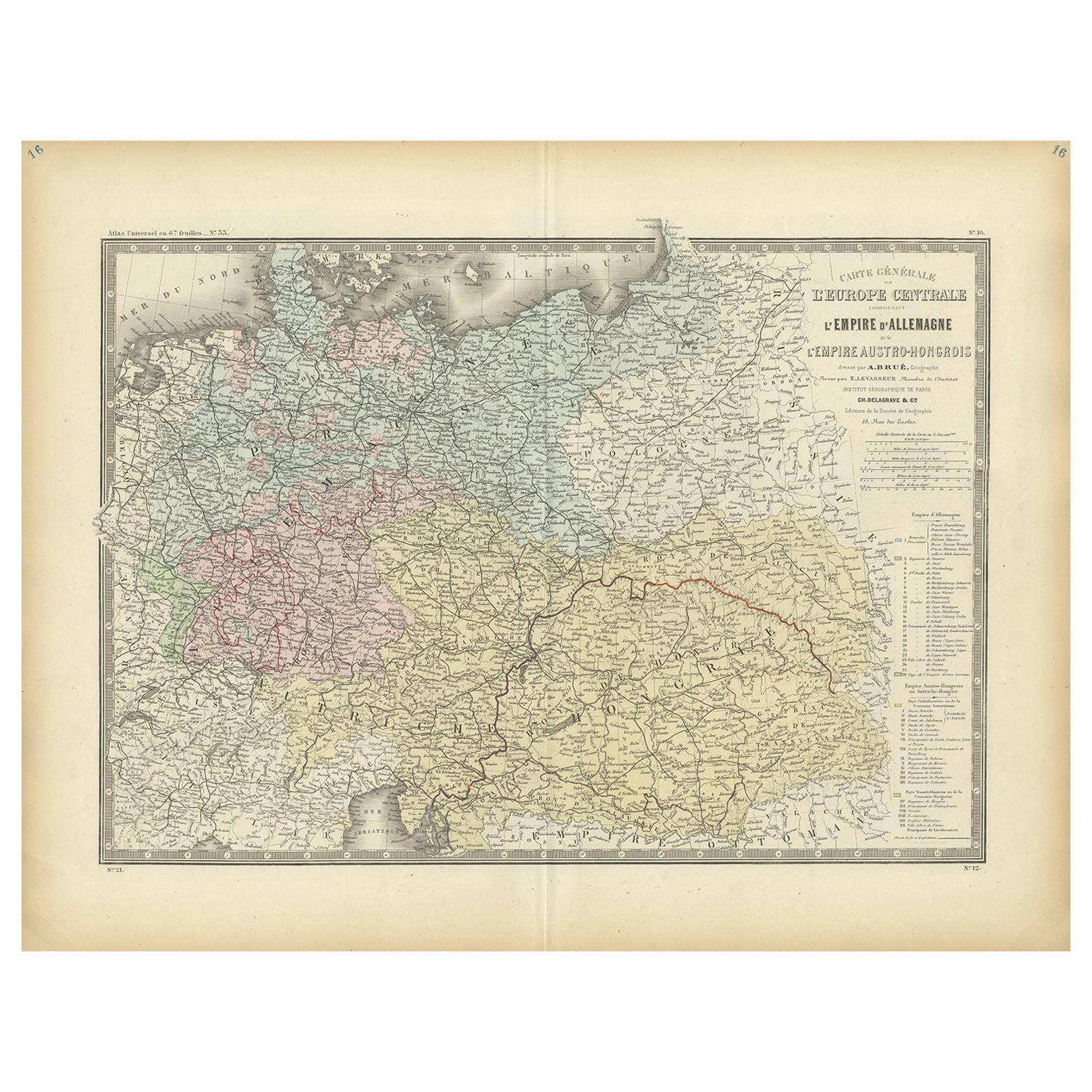
1851 Map of Independent Tartary "Russia" Ric.r018 A highly decorative 1851 map of Independent Tartary by John Tallis and John Rapkin. Covers the regions between the Caspian Sea and Lake Bakquash and between Russia and Afghanistan. These include the ancient Silk Route kingdoms of Khiva, Tartaria, Kokand, and Bokhara. Today this region roughly includes Kazakhstan, Uzbekistan, Turkmenistan, Kyrgyzstan, and Tajikistan. This wonderful map offers a wealth of detail for anyone with an interest in the Central Asian portion of the ancient Silk Road. Identifies various caravan routes, deserts, wells, and stopping points, including the cities of Bokhara and Samarkand. Three vignettes by W. Bragg decorate the map, these including an image of Tartars on a Journey, a horseback Bride Chase, and a tartar camp site. Surrounded by a vine motif border. Engraved by J. Rapkin for John Tallis's 1851 Illustrated Atlas . Tartary Antique Map...

Category

Antique 19th Century Unknown Maps
Materials

Paper