Want more images or videos?
Request additional images or videos from the seller.

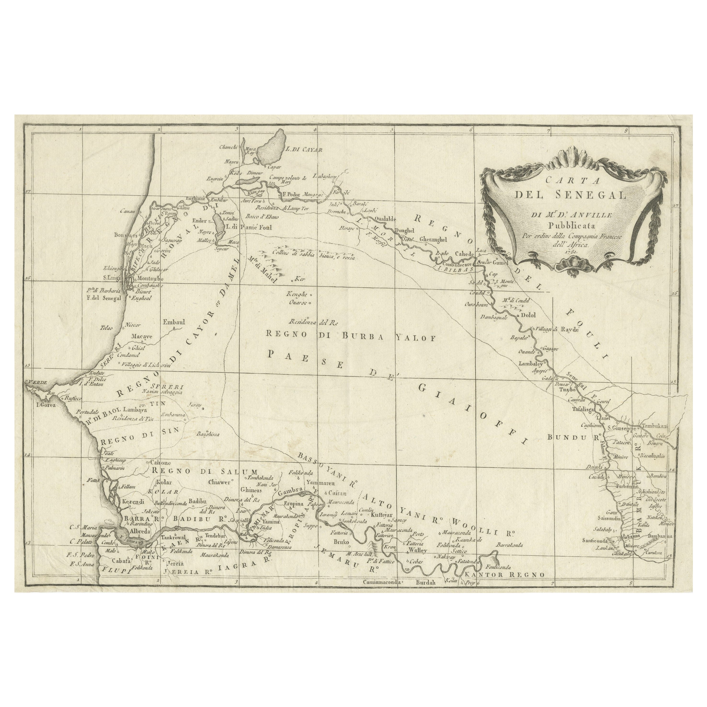
Antique Map of Gambia, West Africa

$496.47
£375.19
€440VAT Included
CA$707.85
A$729.74
CHF 414.63
MX$9,237.16
NOK 4,748.11
SEK 4,974.23
DKK 3,355.05

About the Item

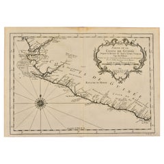
Antique map titled 'Carte du Cours de la Riviere de Gambra ou Gambie (..)'. Detailed map of Gambia, West Africa, surrounded by Senegal with decorative title based on information supplied by Captain John Leach. Engraved by J.N. Bellin. Published circa 1750. Bellin was a French multifaceted hydrographer and geographer had an incredibly successful 50 year career producing maps. His illustrious career started at just 18 years of age when he was appointed Chief Cartographer to the French Navy in 1721. His attention to detail, accuracy and high standard of workmanship resulted in him playing an integral role to France’s leadership in European cartography. In addition to being the Chief Cartographer of France’s hydrographic office, he was also a member of the Académie de Marine, the Royal Society of London, and the Philosophes (French intellectual group).
  • Dimensions:
    Height: 9.97 in (25.3 cm)Width: 14.97 in (38 cm)Depth: 0.02 in (0.5 mm)
  • Materials and Techniques:
  • Period:
  • Date of Manufacture:
    c.1750
  • Condition:
    General age-related toning. Original folding lines. Minor wear and soiling, blank verso. Please study image carefully.
  • Seller Location:
    Langweer, NL
  • Reference Number:
    Seller: BG-13188-31stDibs: LU3054331132682

More From This Seller

View All
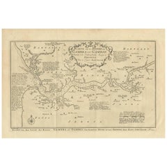
Antique Map of the Gambia River by J. Van Schley, circa 1750

Antique Map of the Gambia River by J. Van Schley, circa 1750

Located in Langweer, NL

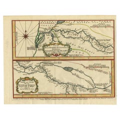
"Carte de la Riviere de Gambra ou Gambie. Depuis son Embouchure Jusqu a Eropina". Orig. copper-engraving after Capt. J. Leach's map of the region from 1732. With ornamental title cartouche and Dutch...

Category

Antique Mid-18th Century Maps

Materials

Paper

Antique Map of Senegal, West Africa

Antique Map of Senegal, West Africa

Located in Langweer, NL

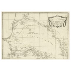
Original antique map titled 'Carta del Senegal'. Antique map of Senegal, West Africa. This map originates from 'Compendio della storia generale dei viaggi (..)'. Published by De la Harpe...

Category

Antique Mid-18th Century Maps

Materials

Paper

Antique Map of the Coast of Guinea, Africa, c.1780

Antique Map of the Coast of Guinea, Africa, c.1780

Located in Langweer, NL

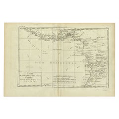
Antique map Africa titled 'Carte de la Haute et de la Basse Guinée'. Map of the Coast of Guinea, Africa. Represents modern day Liberia, Ivory Coast, Ghana, Nigeria, Cameroon, Gabon, Congo, and Equatorial Guinea...

Category

Antique 18th Century Maps

Materials

Paper

Antique Map of the Sanaga River, Senegal, 1747

Antique Map of the Sanaga River, Senegal, 1747

Located in Langweer, NL

Antique map titled 'Cours De La Riviere De Sanaga Ou Senegal (..) - Kaart van den Loop der Riviere Sanaga (..)'. Attractive double map of the Sanaga River, Senegal, Africa. This map ...

Category

Antique 18th Century Maps

Materials

Paper

Antique Map West Africa Morocco Canary Islands Lisbon Sierra Leone Bonne, c1780

Antique Map West Africa Morocco Canary Islands Lisbon Sierra Leone Bonne, c1780

Located in Langweer, NL

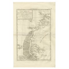
Antique Map West Africa Morocco Canary Islands Lisbon Sierra Leone Bonne c1780 This finely engraved eighteenth-century map by Rigobert Bonne presents the western part of the Old Continent extending from Lisbon southward along the Atlantic coast of Morocco and West Africa toward Sierra Leone, including the Canary Islands, Madeira, and the Cape Verde Islands. Engraved circa 1780, the map reflects Bonne’s influential role as Ingénieur-Hydrographe de la Marine and chief cartographer at the Dépôt de la Marine in Paris, where he succeeded Jacques-Nicolas Bellin and helped guide French cartography into a new scientific era emphasizing clarity, standardized measurement, and geographic precision. Titled “Partie Occidentale de l’Ancien Continent, Depuis Lisbonne jusqu’à la Rivière de Sierra Leona,” the composition provides a detailed geographic overview of Atlantic maritime routes and coastal settlements during a period when European navigation, trade, and exploration along the African coast were of great strategic importance. The Iberian Peninsula appears at the upper right, showing Portugal and southern Spain, while Morocco and the Barbary Coast extend downward along the African shoreline. The Canary Islands, Madeira, and Cape Verde archipelagos are clearly delineated, reflecting their significance as navigational waypoints and colonial outposts in transatlantic trade networks. Bonne’s engraving style is marked by refined restraint: minimal decorative embellishment, precise coastal outlines, delicate hachuring for relief, and an elegant typographic hierarchy that enhances readability. The shaded ocean area suggests navigational zones or areas of maritime interest, reinforcing the map’s hydrographic purpose. Place names, rivers, caravan routes, and coastal features provide insight into European geographic knowledge of West Africa during the Enlightenment, illustrating both scientific curiosity and colonial ambitions. As part of Bonne’s mature cartographic output, this map exemplifies the shift from decorative to scientific cartography, making it highly appealing to collectors interested in the evolution of mapping as well as to designers seeking refined historical wall pieces. Its vertical orientation offers strong decorative potential, suitable for both classic and contemporary interiors. Condition report: Good antique condition with age-related toning, visible central fold as issued, light scattered spotting, and minor edge wear consistent with eighteenth-century paper; margins remain suitable for framing. Framing tips: Particularly effective when framed in dark walnut or black with an ivory or warm off-white mat; vertical orientation works well in narrow wall spaces or paired with related North Africa or Atlantic navigation charts for a cohesive display. Technique: Copperplate engraving Maker: Rigobert Bonne, France, circa 1780 Keyword block: West Africa antique map, Morocco antique map, Canary Islands map antique, Madeira Cape Verde map, Rigobert Bonne map, Atlantic navigation chart, Sierra Leone antique map, Barbary Coast map, Enlightenment cartography France, Dépôt de la Marine map, 18th century Africa engraving, Lisbon Portugal antique map, transatlantic navigation routes map, antique French hydrographic chart, Sahara desert map antique, Maghreb West Africa map...

Category

Antique Late 18th Century French Maps
Materials

Paper

18th Century Map of Upper Guinea: Kingdoms and Coastal Regions of West Africa

18th Century Map of Upper Guinea: Kingdoms and Coastal Regions of West Africa

Located in Langweer, NL

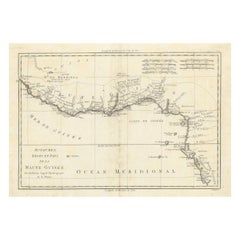
This is an antique map depicting the coastal regions of West Africa, specifically the Gulf of Guinea and surrounding areas, including parts of what is now Senegal, Guinea, Sierra Leo...

Category

Antique 1780s Maps

Materials

Paper

You May Also Like

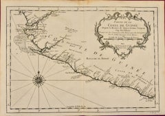
West Coast of Africa, Guinea & Sierra Leone: An 18th Century Map by Bellin

West Coast of Africa, Guinea & Sierra Leone: An 18th Century Map by Bellin

By Jacques-Nicolas Bellin

Located in Alamo, CA

Jacques Bellin's copper-plate map entitled "Partie de la Coste de Guinee Dupuis la Riviere de Sierra Leona Jusquau Cap das Palmas", depicting the coast of Guinea and Sierra Leone in ...

Category

Antique Mid-18th Century French Maps
Materials

Paper

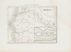
Ancient Map of Senegal - Etching - 19th Century

Ancient Map of Senegal - Etching - 19th Century

Located in Roma, IT

Map of Senegal is an original etching realized by an anonymous engraver of the 19th Century. Printed in series of "France Pittoresque" at the top center. The state of preservation ...

Category

19th Century Figurative Prints

Materials

Etching

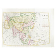
Antique French Map of Asia Including China Indoneseia India, 1783

Antique French Map of Asia Including China Indoneseia India, 1783

Located in Amsterdam, Noord Holland

Very nice map of Asia. 1783 Dedie au Roy. Additional information: Country of Manufacturing: Europe Period: 18th century Qing (1661 - 1912) Condition: Overall Condition B (Good Used)...

Category

Antique 18th Century European Maps

Materials

Paper

Antique 1803 Italian Map of Asia Including China Indoneseia India

Antique 1803 Italian Map of Asia Including China Indoneseia India

Located in Amsterdam, Noord Holland

Antique 1803 Italian Map of Asia Including China Indoneseia India Very nice map of Asia. 1803. Additional information: Type: Map Country of Manufacturing: Europe Period: 19th centu...

Category

Antique 19th Century European Maps

Materials

Paper

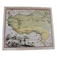
West Africa Entitled "Guinea Propria": An 18th Century Hand Colored Homann Map

West Africa Entitled "Guinea Propria": An 18th Century Hand Colored Homann Map

By Johann Baptist Homann

Located in Alamo, CA

This is a scarce richly hand colored copper plate engraved map of Africa entitled "Guinea Propria, nec non Nigritiae vel Terrae Nigrorum Maxima Pars" by Johann Baptist Homann (1664-1...

Category

Antique Mid-18th Century German Maps

Materials

Paper