Mid-18th Century Maps

454 Results
to
7
454
445
9

Use search to find more

6
1
1
1
3,197
2,914
546
5
356
49
27
123
9
29
9
5
8
7
7
15
2
452
6
5
1
1

Use search to find more

9
4
3
3
3

Use search to find more

Period: Mid-18th Century
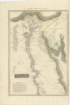
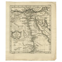
Ancient Egypt – Nile Valley Map by d’Anville, Classical Antiquity, c.1765

Ancient Egypt – Nile Valley Map by d’Anville, Classical Antiquity, c.1765

Located in Langweer, NL

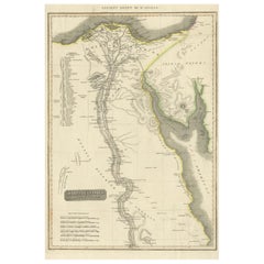
Ancient Egypt – Nile Valley Map by d’Anville, Classical Antiquity, c.1765 This finely engraved map depicts Ancient Egypt as understood through classical sources, extending along the...

Category

French Antique Mid-18th Century Maps

Materials

Paper

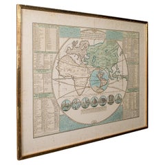
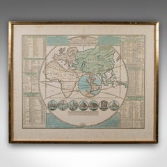
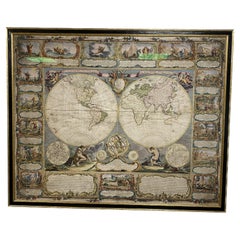
Antique Plan de l'Historie Universelle World Map, Framed Cartography, Circa 1730

Antique Plan de l'Historie Universelle World Map, Framed Cartography, Circa 1730

Located in Hele, Devon, GB

This is an antique Plan de l'Historie Universelle World Map. A Dutch, framed atlas engraving by Henri Abraham Chatelain, dating to the 18th century and later, circa 1730. Published...

Category

Dutch George II Antique Mid-18th Century Maps

Materials

Glass, Paper

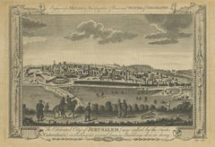
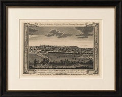
Antique View of Jerusalem Holy Land Engraving, Millar Geography, ca. 1760

Antique View of Jerusalem Holy Land Engraving, Millar Geography, ca. 1760

Located in Langweer, NL

Antique View of Jerusalem Holy Land Engraving, Millar Geography ca. 1760 Large and highly decorative antique engraving depicting the celebrated city of Jerusalem, published for Mill...

Category

British Antique Mid-18th Century Maps

Materials

Paper

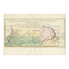
Map of the Amazon River's Course and Surrounding Regions (1743-1744)

Map of the Amazon River's Course and Surrounding Regions (1743-1744)

Located in Langweer, NL

This original antique map, titled "Carte du Cours du Maragnon ou de la Grande Riviere des Amazones," illustrates the course of the Amazon River (referred to here as the Maragnon) fro...

Category

Antique Mid-18th Century Maps

Materials

Paper

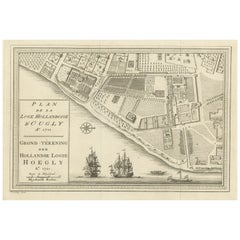
Original Antique Plan of the Dutch Settlement at Chinsura-Hooghly, India, 1746

Original Antique Plan of the Dutch Settlement at Chinsura-Hooghly, India, 1746

Located in Langweer, NL

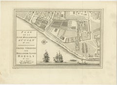
Antique print, titled: 'Plan de la Loge Hollandoise d'Ougly'. A plan of the Dutch settlement at Chinsura-Hooghly, India. This print originates from Prevost's 'Histoire Generale d...

Category

Dutch Antique Mid-18th Century Maps

Materials

Paper

Antique Map of the Eastern Part of the World

Antique Map of the Eastern Part of the World

Located in Langweer, NL

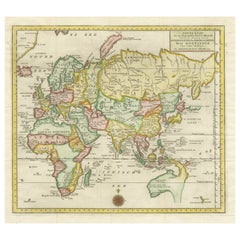
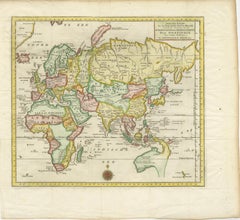
Antique map titled 'Nieuwe Kaart van het Oostelykste Deel der Weereld, diendende tot aanwyzing van de Scheepstogten der Nederlanderen Naar Oostindie'. This finely engraved map of the...

Category

Antique Mid-18th Century Maps

Materials

Paper

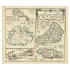
Old 18th Century Composite Map of Key Caribbean Islands with Descriptive Texts

Old 18th Century Composite Map of Key Caribbean Islands with Descriptive Texts

Located in Langweer, NL

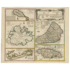
Antique map titled 'Dominia Anglorum in praecipuis Insulis Americae ut sunt Insula S. Christophori, Antegoa, Iamaica, Barbados nec non Insulae Bermudes vel Sommers dictae. Die Englis...

Category

Antique Mid-18th Century Maps

Materials

Paper

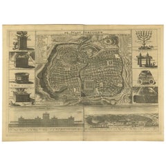
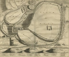
Antique Bible Plan of Ancient Jerusalem, 1743

Antique Bible Plan of Ancient Jerusalem, 1743

Located in Langweer, NL

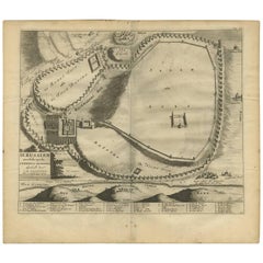
This plan originates from ‘Biblia Sacra, dat is, de H. Schriftuer van het Oude, en het Nieuwe Testament, naer de laetste Roomsche keure der gemeine Latijnsche overzettinge, in nederd...

Category

Antique Mid-18th Century Maps

Materials

Paper

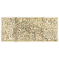
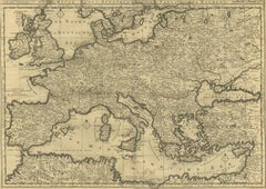
Rare 1730 Roman Empire Map by Moll - Detailed and Engraved Masterpiece

Rare 1730 Roman Empire Map by Moll - Detailed and Engraved Masterpiece

Located in Langweer, NL

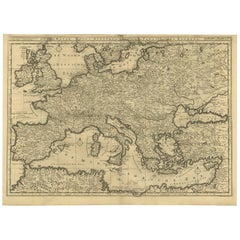
An Historical Map of the Roman Empire and the Neighbouring Barbarous Nations by Herman Moll - Circa 1730 This grand and historically significant map of the Roman Empire was create...

Category

German Antique Mid-18th Century Maps

Materials

Paper

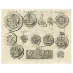
Original Old Copper Engravings of Seals of Lubeck, Stavoren, Amsterdam etc. 1767

Original Old Copper Engravings of Seals of Lubeck, Stavoren, Amsterdam etc. 1767

Located in Langweer, NL

Antique print titled ‚Zegel der stad Lubek (..)’. Seals of the city of Lubeck and others: Stavoren, Amsterdam (8x), van Amstel, Persijn (..). This print originates from ‘Amsterda...

Category

Antique Mid-18th Century Maps

Materials

Paper

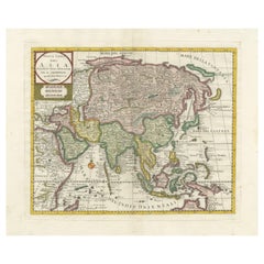
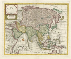
Antique Map of Asia by Tirion 'c.1760'

Antique Map of Asia by Tirion 'c.1760'

Located in Langweer, NL

Antique map titled 'Nuova Carta dell Asia'. Decorative map of Asia. Published by I. Tirion, circa 1760.

Category

Antique Mid-18th Century Maps

Materials

Paper

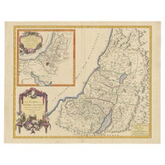
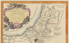
1750 Map of the Holy Land: The Land of Canaan and the Twelve Tribes

1750 Map of the Holy Land: The Land of Canaan and the Twelve Tribes

Located in Langweer, NL

Carte de la Terre de Canaan ou Terre Promise Cartographer: Le St. Robert Date of Publication: 1750 This exquisite 18th-century map, 'Carte de la Terre de Canaan ou Terre Promise', w...

Category

French Antique Mid-18th Century Maps

Materials

Paper

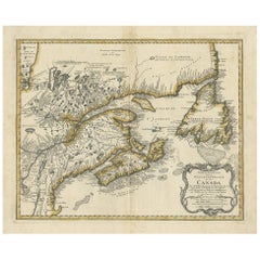
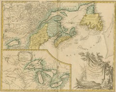
Antique Map Dedicated to British Merchants Trading to North America, ca.1746

Antique Map Dedicated to British Merchants Trading to North America, ca.1746

Located in Langweer, NL

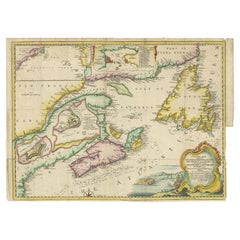
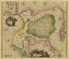
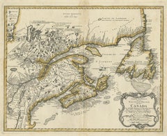
Description: Antique map titled 'A New Chart of the Coast of New England, Nova Scotia, New France or Canada, with the islands of Newfoundland, Capte Breton, St John's (..)'. Map stre...

Category

Antique Mid-18th Century Maps

Materials

Paper

Rare Map of Rama or Ramma 'Ramallah?' in Palestine or the Holy Land, ca.1730

Rare Map of Rama or Ramma 'Ramallah?' in Palestine or the Holy Land, ca.1730

Located in Langweer, NL

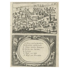
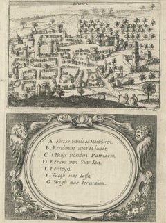
Antique map titled 'Rama'. This maps shows a view of Ramma (Ramallah?) in Palestine or the Holy Land. With Dutch legend. Source unknown, to be determined. Artists and Engraver...

Category

Antique Mid-18th Century Maps

Materials

Paper

Engraving of a Map of Florida, the Gulf Coast, Caribbean & Central America, 1728

Engraving of a Map of Florida, the Gulf Coast, Caribbean & Central America, 1728

Located in Langweer, NL

This exceptional antique map, titled "Nouvelle Carte Marine de Toute les Cotes de l´Amerique" and alternatively known as "Nieuwe groote en seer Curieuse Paskaart van Geheel-WestIndie...

Category

Dutch Antique Mid-18th Century Maps

Materials

Paper

Antique 1743 Map – Travels of Jesus Christ & Apostles by Seutter

Antique 1743 Map – Travels of Jesus Christ & Apostles by Seutter

Located in Langweer, NL

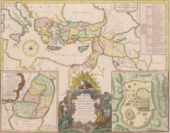
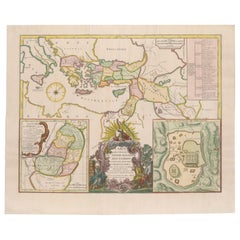
Antique 1743 Map – Travels of Jesus Christ & Apostles by Seutter This is an original antique map titled “Carte des Voyages de Notre Seigneur Jesus-Christ et des Actes des Apotres St...

Category

German Antique Mid-18th Century Maps

Materials

Paper

Finely Engraved Historical Map of Middle East and Asia, c.1745

Finely Engraved Historical Map of Middle East and Asia, c.1745

Located in Langweer, NL

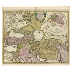
Description: Antique map titled'Theatrum Historicum pars Orientalis.' Finely engraved historical map with a profusion of details. It shows the Middle East and Asia. Decorative ti...

Category

Antique Mid-18th Century Maps

Materials

Paper

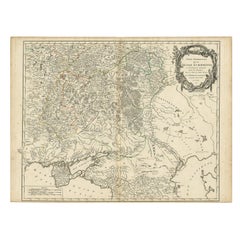
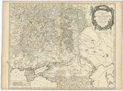
Detailed Antique Map of the Southern Part of European Russia and Ukraine, 1752

Detailed Antique Map of the Southern Part of European Russia and Ukraine, 1752

Located in Langweer, NL

Antique map titled 'Partie meridionale de la Russie Européenne'. Detailed map of the southern part of European Russia by Robert de Vaugondy. It covers from Moscow south to Georgia and from Poland east to the Volga River, including Crimea and Ukraine. Artists and engravers: Gilles Robert de Vaugondy (1688-1766) was the head of a leading family of geographers in eighteenth century France. Gilles got his start when he jointly inherited the shop of Pierre-Moullart Sanson, grandson of the famous geographer Nicholas Sanson. The inheritance included the business, its stock of plates, and a roller press...

Category

Antique Mid-18th Century Maps

Materials

Paper

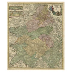
Old Map of Region Champagne-Ardenne with Reims, Troyes & Épernay in France, 1759

Old Map of Region Champagne-Ardenne with Reims, Troyes & Épernay in France, 1759

Located in Langweer, NL

Antique map titled 'Tabula Geographica Campaniae (..).' Detailed map of the Champagne region in France by J. B. Homann, covering the region Champagne-Ardenne with Reims, Troyes a...

Category

Antique Mid-18th Century Maps

Materials

Paper

Map of Northern India and Pakistan 'Mogol', Showing Kabul, Delhi Etc., 1758

Map of Northern India and Pakistan 'Mogol', Showing Kabul, Delhi Etc., 1758

Located in Langweer, NL

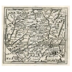
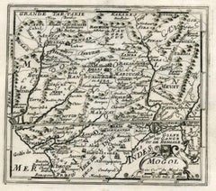
Antique map titled 'Mogol'. Map of Northern India and Pakistan ('Mogol'), showing Kabul, Delhi and surroundings. This map originates from 'Kort begrip der Oude en Nieuwe Staatkun...

Category

Antique Mid-18th Century Maps

Materials

Paper

18th-Century Map of the Swiss Confederation by Robert de Vaugondy

18th-Century Map of the Swiss Confederation by Robert de Vaugondy

Located in Langweer, NL

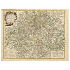
Title: 18th-Century Map of the Swiss Confederation by Robert de Vaugondy Description: This detailed 18th-century map by Gilles Robert de Vaugondy presents the Swiss Confederation,...

Category

Antique Mid-18th Century Maps

Materials

Paper

Antique Map of Russia and Central Asia, showing the Northeast Passage

Antique Map of Russia and Central Asia, showing the Northeast Passage

Located in Langweer, NL

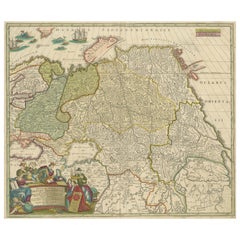
Antique map titled 'Generalis Totius Imperii Moscovitici (..)'. Decorative map of Russia and Central Asia, showing the Northeast Passage. The map covers the entirety of the Russian Empire at the time, stretching from the Arctic Circle in the north to the "Oceanus Orientalis" and the northern parts China (Chinae Septentrionalis confinia), Mongolia and India in the south. Published by J.B. Homann, circa 1730. Johann Baptist Homann was born 1664 in Oberkammlach. He founded his business 1702 in Nuremberg, Germany. After a long period of Dutch domination in map publishing, the Homann publishing house became the most important map...

Category

Antique Mid-18th Century Maps

Materials

Paper

Rare Antique Bible Map of Southern Europe by A. Schut, 1743

Rare Antique Bible Map of Southern Europe by A. Schut, 1743

Located in Langweer, NL

Antique map of the Mediterranean and a large part of Europe, illustrating the voyage of St. Paul to Rome. This map originates from ‘Biblia Sacra, dat is, de H. Schriftuer van het Oud...

Category

Antique Mid-18th Century Maps

Materials

Paper

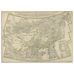
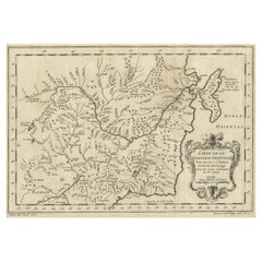
Rare Hand-Colored Antique Map of Tartary, China and Korea, ca.1741

Rare Hand-Colored Antique Map of Tartary, China and Korea, ca.1741

Located in Langweer, NL

Antique map titled 'A General Map of Eastern and Western Tatary, commonly call'd Tartary; drawn from the Particular Maps of the Jesuit Missionaries'. Rare antique map of Tartary, C...

Category

Antique Mid-18th Century Maps

Materials

Paper

Antique Map of Moscovy 'Russia' by E. Bowen, 1747

Antique Map of Moscovy 'Russia' by E. Bowen, 1747

Located in Langweer, NL

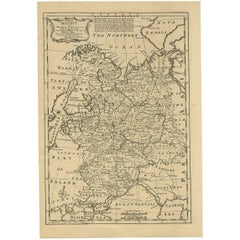
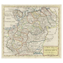
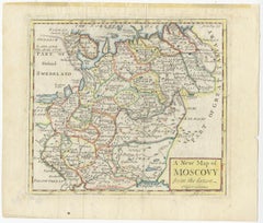
Beautiful map of European Russia by the English cartographer Emmanuel Bowen. It depicts the European portion of Russia extending from the Gulf of Finland to the Ural Mountains. The m...

Category

Antique Mid-18th Century Maps

Materials

Paper

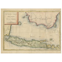
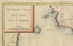
Java and Bali with Borneo Coast – 18th Century French Colonial Map

Java and Bali with Borneo Coast – 18th Century French Colonial Map

Located in Langweer, NL

Java and Bali with Borneo Coast – 18th Century French Colonial Map This original copperplate engraved map titled "Deuxième Carte des Isles de la Sonde" offers a rare and valuable 18...

Category

French Antique Mid-18th Century Maps

Materials

Paper

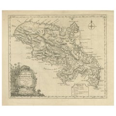
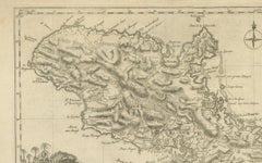
18th Century Original Dutch Map of Martinique in The West Indies by Isaak Tirion

18th Century Original Dutch Map of Martinique in The West Indies by Isaak Tirion

Located in Langweer, NL

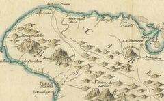
This is an 18th-century Dutch map of Martinique, titled *Het Westindisch Eiland Martinique*. The map was produced by Isaak Tirion, a renowned Dutch cartographer and publisher known for his precise and beautifully crafted maps. The cartouche in the lower left corner, adorned with decorative elements, adds to the aesthetic appeal of the map. ### Key Features: - Martinique: The map offers detailed topographical information of the island, including mountains, rivers, and settlements. - Geographical Details: Locations such as Fort Royal, Bay de St. Pierre, and Point de Cloche are marked, showcasing significant features of the island. - Cartouche: The ornate cartouche, featuring tropical plants, reflects the importance of the island's agricultural production during the colonial period, particularly its sugar plantations. This map captures Martinique during its time as a French colony and provides valuable insight into the island’s layout and strategic significance in the Caribbean. The attention to coastal detail highlights the importance of Martinique as a hub of maritime activity. The map’s combination of aesthetic elegance and cartographic precision makes it a remarkable piece for collectors and those interested in Caribbean colonial...

Category

Antique Mid-18th Century Maps

Materials

Paper

Navigational Chart of Mexico's Coast, with Acapulco and Port Marquis, 1748

Navigational Chart of Mexico's Coast, with Acapulco and Port Marquis, 1748

Located in Langweer, NL

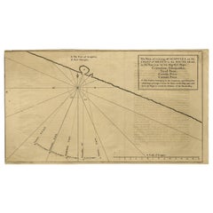
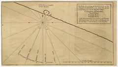
Antique map titled 'The Form of cruising off Acapulca on the Coast of Mexico in the South Seas in the Year 1742. by His Majesty's Ships, Centurion, Gloucester, Tryall Prize, Carmila ...

Category

Antique Mid-18th Century Maps

Materials

Paper

Old Map of Guyana, Suriname and French Guiana with Paramaribo and Cayenne, c1760

Old Map of Guyana, Suriname and French Guiana with Paramaribo and Cayenne, c1760

Located in Langweer, NL

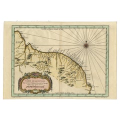
Description: Antique map titled 'Carte de la Guiane.' Antique map of the Guianas - present day Guyana, Suriname and French Guiana, including Paramaribo and Cayenne. Source unknown, to be determined. Artists and Engravers: Made by 'Jacques-Nicholas Bellin...

Category

Antique Mid-18th Century Maps

Materials

Paper

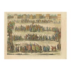
Old Original Copper Engraving Depicting a Viceroy with Entourage in China, 1735

Old Original Copper Engraving Depicting a Viceroy with Entourage in China, 1735

Located in Langweer, NL

Original handtinted copper engraving with title: 'Cortege d'un Viceroy tout les fois qu'il sort de son palais'. Translate in English: 'Procession of a Viceroy whenever he leaves h...

Category

Antique Mid-18th Century Maps

Materials

Paper

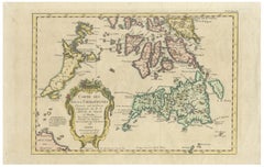
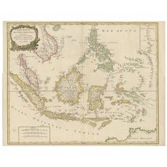
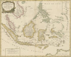
Antique Map of the Indonesian and Philippine Archipelagos by R. de Vaugondy

Antique Map of the Indonesian and Philippine Archipelagos by R. de Vaugondy

Located in Langweer, NL

Striking and highly detailed map of the region from Sumatra and Malaca and Southern China to the Philipines, New Guinea and Northern Australia, centered on Borneo. Includes a large i...

Category

Antique Mid-18th Century Maps

Materials

Paper

Original Old Map of St Kitts, Antigua, Bermuda, Barbados, and Jamaica, ca.1745

Original Old Map of St Kitts, Antigua, Bermuda, Barbados, and Jamaica, ca.1745

Located in Langweer, NL

Antique map titled 'Dominia Anglorum in praecipuis Insulis Americae ut sunt Insula S. Christophori, Antegoa, Iamaica, Barbados nec non Insulae Bermudes vel Sommers dictae. Die Englis...

Category

Antique Mid-18th Century Maps

Materials

Paper

Antique Bible Plan of Jerusalem by Covens & Mortier, 1743

Antique Bible Plan of Jerusalem by Covens & Mortier, 1743

Located in Langweer, NL

This plan originates from ‘Biblia Sacra, dat is, de H. Schriftuer van het Oude, en het Nieuwe Testament, naer de laetste Roomsche keure der gemeine Latijnsche overzettinge, in nederd...

Category

Antique Mid-18th Century Maps

Materials

Paper

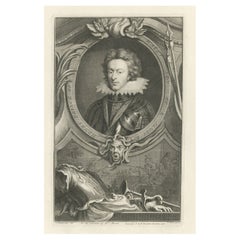
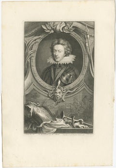
Old Portrait of Henry Frederick, Prince of Wales, c.1750

Old Portrait of Henry Frederick, Prince of Wales, c.1750

Located in Langweer, NL

Antique portrait titled 'Henry, Prince of Wales, Son of K. James I'. Old portrait of Henry Frederick. Henry Frederick, Prince of Wales (1594-1612) was the elder son of James VI and I, King of England and Scotland, and his wife, Anne of Denmark. Prince Henry was widely seen as a bright and promising heir to his father's thrones. However, at the age of 18, he predeceased his father when he died of typhoid fever. His younger brother Charles succeeded him as heir apparent to the English, Irish and Scottish thrones...

Category

Antique Mid-18th Century Maps

Materials

Paper

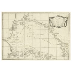
Antique Map of Senegal, West Africa

Antique Map of Senegal, West Africa

Located in Langweer, NL

Original antique map titled 'Carta del Senegal'. Antique map of Senegal, West Africa. This map originates from 'Compendio della storia generale dei viaggi (..)'. Published by De la Harpe...

Category

Antique Mid-18th Century Maps

Materials

Paper

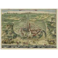
Antique Bird's Eye View of Scheveningen Near The Hague, the Netherlands, 1730

Antique Bird's Eye View of Scheveningen Near The Hague, the Netherlands, 1730

Located in Langweer, NL

Antique print titled 'Afbeeldinge van Schevelinge in den Jaare 1729'. Bird's eye view of Scheveningen near The Hague / Den Haag, the Netherlands. This print originates from 'Beschr...

Category

Antique Mid-18th Century Maps

Materials

Paper

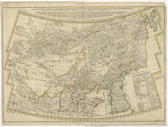
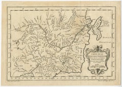
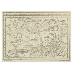
Interesting Antique Map of Tartary and Northeast Asia, 1749

Interesting Antique Map of Tartary and Northeast Asia, 1749

Located in Langweer, NL

Condition: Good, given age. Original folds, as issued. Some small water stains above image and top-right. Please study scan carefully.

Category

Antique Mid-18th Century Maps

Materials

Paper

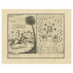
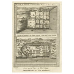
Palace & Gardens of Shah Shuja, Prince of Rajmahal & Munger, India, 1757

Palace & Gardens of Shah Shuja, Prince of Rajmahal & Munger, India, 1757

Located in Langweer, NL

Antique print titled 'Paleis en Tuynen van Cha-Sousa Prins van Ragi Mohol - Grondtekening der Stad Mongheer‘. This print depicts the palace and gardens of Shah Shuja, Prince of R...

Category

Antique Mid-18th Century Maps

Materials

Paper

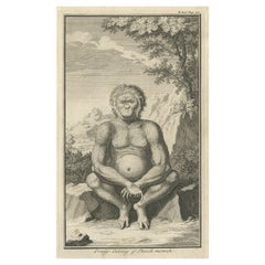
Engraving of an Orang-Utan on Borneo 'Kalimantan' or Sumatra, Indonesia, 1739

Engraving of an Orang-Utan on Borneo 'Kalimantan' or Sumatra, Indonesia, 1739

Located in Langweer, NL

Antique print titled 'Orang-Oetang of Bosch-mensch'. This print depicts an Orang-Utan on Borneo or Sumatra, Indonesia. Originates from 'Hedendaagsche Historie, of tegenwoordige staat...

Category

Antique Mid-18th Century Maps

Materials

Paper

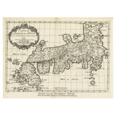
Original Antique Map of the Empire of Japan, Centered on the Bay of Osaka, c1752

Original Antique Map of the Empire of Japan, Centered on the Bay of Osaka, c1752

Located in Langweer, NL

Antique map titled 'Carte de L'Empire de Japon (..).' Map of the Empire of Japan. Centered on the Bay of Osaka, this map covers from Hirado (here identified as I. Firando) and Na...

Category

Antique Mid-18th Century Maps

Materials

Paper

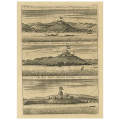
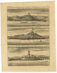
Copperplate Engraving Showing Forts on the West African Gold Coast, Ghana, 1744

Copperplate Engraving Showing Forts on the West African Gold Coast, Ghana, 1744

Located in Langweer, NL

Antique print, titled: 'The Fort Fredricksburg formerly to ye Danes and now Fort Royal (…).' - A three panel copperplate engraving showing three forts on the West African Gold Coast, Ghana; a) The Fort Fredricksburgh formerly to ye Danes and now Fort Royal. English at Manfroe, b) The Fort Amsterdam at Cormentyn belonging to ye Hollanders, c) The Fort James, English at Accra. From: "A Collection of Voyages and Travels" published by John and Awnsham Churchill in London in 1744. Artists and Engravers: Made by 'Johannes Kip' after 'A. Churchill'. Johannes Kip (b Amsterdam, 1653; d London, 1722). Dutch draughtsman, engraver and dealer, active in England. He was a pupil of Bastiaen Stopendaal (1636–1707) from 1668 to 1670. His earliest dated engravings are of 1672 (e.g. the Siege of Groningen , Hollstein, no. 4), and he supplied numerous plates for books published from that date onwards. His work brought him into contact with the court of William of Orange and in 1686 he produced six plates depicting William of Orange, his Wife and Attendants near The Hague (Hollstein, no. 5). Shortly after the Glorious Revolution of 1688 Kip followed the court to England. After settling in Westminster, he worked extensively for London publishers, engraving works after Francis Barlow, Caius Gabriel Cibber (e.g. Interior of the Danish Church in London , 1697; Hollstein, no. 6) and other London-based artists. His engravings were principally destined for book illustrations. The work for which Kip is best remembered is his large corpus...

Category

Antique Mid-18th Century Maps

Materials

Paper

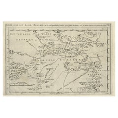
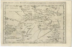
Old Map of Turkmenistan, Uzbekistan, Afghanistan, Tajikistan, Kyrgyzstan, 1757

Old Map of Turkmenistan, Uzbekistan, Afghanistan, Tajikistan, Kyrgyzstan, 1757

Located in Langweer, NL

Antique map titled 'Kort over det Lille Bukarie og de naest graensende Lande. af Engelske Skribentere ved N. Bellin Ingenieur ved Marinen efter Söe Etaten'. Map of present-day Turkmenistan, Uzbekistan, Afghanistan, Tajikistan, Kyrgyzstan including part of China. Originates from 'Almindelig histoirie over reiser til lands og bands (..)'. This 17 volume set is a translation of Collection of voyages and travels edited by Awnsham and John Churchill and Thomas Osborne...

Category

French Antique Mid-18th Century Maps

Materials

Paper

Detailed Map of the Island of Gorée off of the Coast of Dakar, Senegal, 1747

Detailed Map of the Island of Gorée off of the Coast of Dakar, Senegal, 1747

Located in Langweer, NL

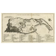
Antique plan titled 'Plan de l'Isle de Goree The island of Gorée lies off the coast of Senegal, opposite Dakar. From the 15th to the 19th century, it was the largest slave-tradin...

Category

Antique Mid-18th Century Maps

Materials

Paper

Old Print of Fort James on Kunta Kinteh Island on the Gambia River, Africa, 1746

Old Print of Fort James on Kunta Kinteh Island on the Gambia River, Africa, 1746

Located in Langweer, NL

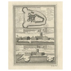
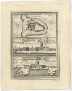
Antique print titled 'Plan de l’lle James sur la Gambra en 1732, Vue de Fort James du côte du Nord-Est, Vue de Fort James du côte de N.N. Ouest'. Old print of Kunta Kinteh Island on the Gambia...

Category

Antique Mid-18th Century Maps

Materials

Paper

Colored wall map of the WORLD

Colored wall map of the WORLD

$27,080Sale Price|20% Off

Colored wall map of the WORLD

By Chambon

Located in ZWIJNDRECHT, NL

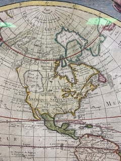
“Mappe Monde, contenant les Parties Connues du Globe Terrestre” CHAMBON, Gobert-Denis (France, 17.. - 1781) Paris, Longchamps et Janvier, 1754 Size H. 115 x W. 145 cm. Gobert-Denis Chambon made copper engraving after the work of Guillaume De L’Isle, published in 1754 by Jean Janvier and S.G. Longschamps. A huge wall map of the world in two hemispheres printed on two sheets, depicting the Eastern and Western hemispheres supported by two male figures, decorated at the bottom right and left with two celestial hemispheres (boreal and southern) and at the bottom in the middle with an armillary sphere, in addition. This map is most notable for its depiction of the Sea of Japan labeled "Mer de Corée" and of "Mer de L'Ouest" or Sea of the West - a great sea, easily the size of the Mediterranean, to flow from the then-known Strait of Juan de Fuca...

Category

French French Provincial Antique Mid-18th Century Maps

Materials

Wood, Paper

Martinique Map by Rigobert Bonne – French Antique Map, c.1768

Martinique Map by Rigobert Bonne – French Antique Map, c.1768

Located in Langweer, NL

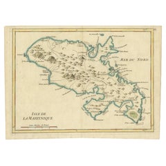
Map of Martinique by Rigobert Bonne, circa 1768 This is a detailed antique map of Martinique titled “Isle de la Martinique,” engraved by Rigobert Bonne around 1768 for the Atlas Encyclopédique. Bonne, a renowned French hydrographer and successor to Bellin, is celebrated for his scientifically precise and elegantly engraved maps. The map shows Martinique with its mountainous interior, rivers, and settlements labelled, including Fort Royal, Fort St. Pierre, Le Marin, and Le Prêcheur. Coastal features, bays, and capes are marked, along with anchorages important for maritime navigation in the 18th century. The depiction includes relief shown pictorially, characteristic of Bonne’s cartographic style, enhancing both geographic understanding and aesthetic appeal. This copperplate engraving retains original hand colouring outlining the coastlines in delicate blue and brown tones, typical for the period. It served as a key reference for scholars, navigators, and colonial administrators during France’s colonial presence in the Caribbean. Condition: Good condition overall. A strong impression with bright, original hand-colour outlines. General age toning, faint offsetting, and a vertical fold as issued in the atlas. Margins ample all around for framing. Framing suggestions: This historic Caribbean map...

Category

French Antique Mid-18th Century Maps
Materials

Paper

Map of Southern Spain Depicting Castile, Andalusia, Granada, Murcia and Valencia

Map of Southern Spain Depicting Castile, Andalusia, Granada, Murcia and Valencia

Located in Langweer, NL

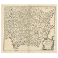
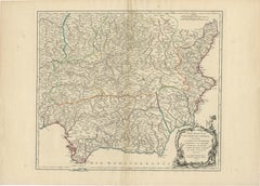
Antique map titled 'Partie Meridionale Des Etats de Castille (..)'. Decorative and highly detailed map of the southern part of Castile, Spain, including a decorative cartouche. Publi...

Category

Antique Mid-18th Century Maps
Materials
Paper