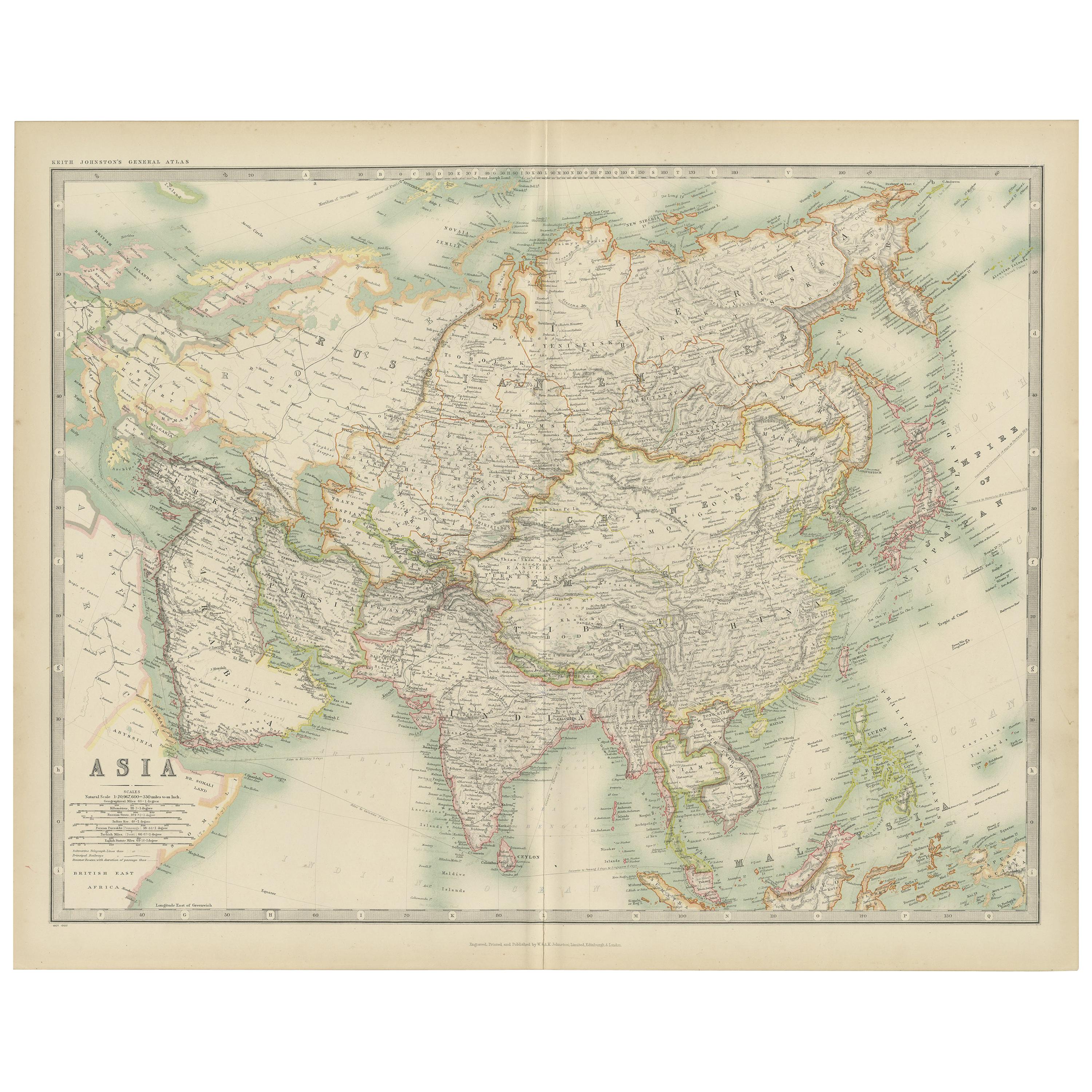
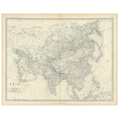
Antique Map of Asia by K. Johnston, circa 1879
Located in Langweer, NL
No. 28 of Keith Johnston's General Atlas. Published by William Blackwood & Sons Edinburgh & London, circa 1879.
Category
Antique Late 19th Century Maps
Materials
Paper

Antique Map of Asia by K. Johnston, circa 1879
Located in Langweer, NL
No. 28 of Keith Johnston's General Atlas. Published by William Blackwood & Sons Edinburgh & London, circa 1879.
Paper
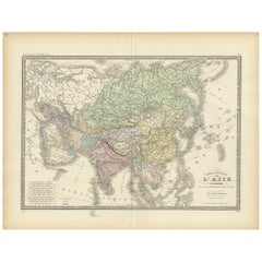
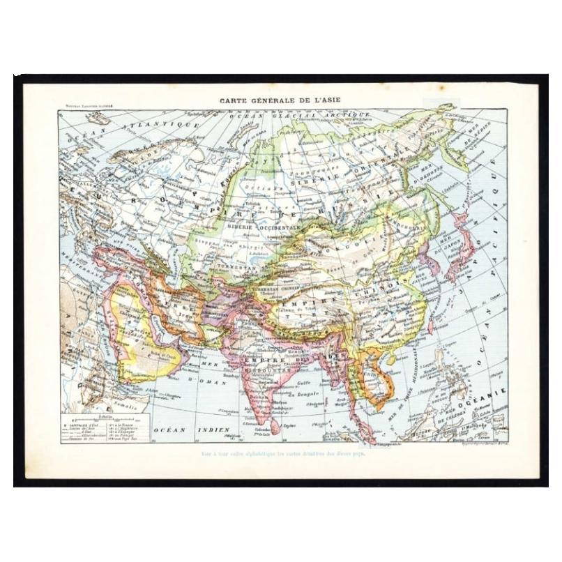
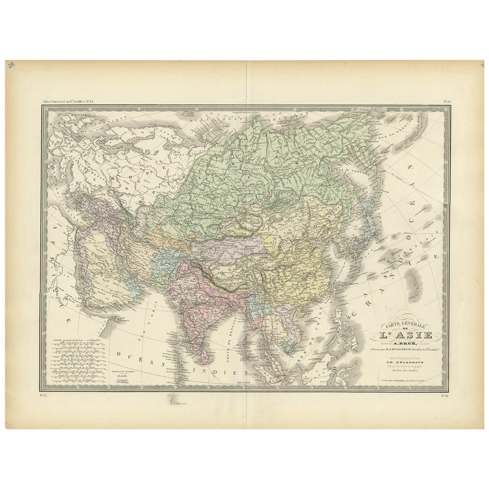
Antique Map of the Asian Continent by Levasseur, '1875'
Located in Langweer, NL
Antique map titled 'Carte générale de l'Asie'. Large map of the Asian Continent. This map originates from 'Atlas de Géographie Moderne Physique et Politique' by A. Levasseur. Publish...
Paper
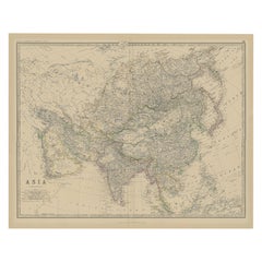
Large Antique Map of Asia The Royal Atlas of Modern Geography by Johnston, 1882
Located in Langweer, NL
Antique map titled 'Asia'. Old map of the Asian continent. This map originates from 'The Royal Atlas of Modern Geography, Exhibiting, in a Series of Entirely Original and Authentic M...
Paper
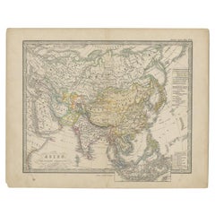
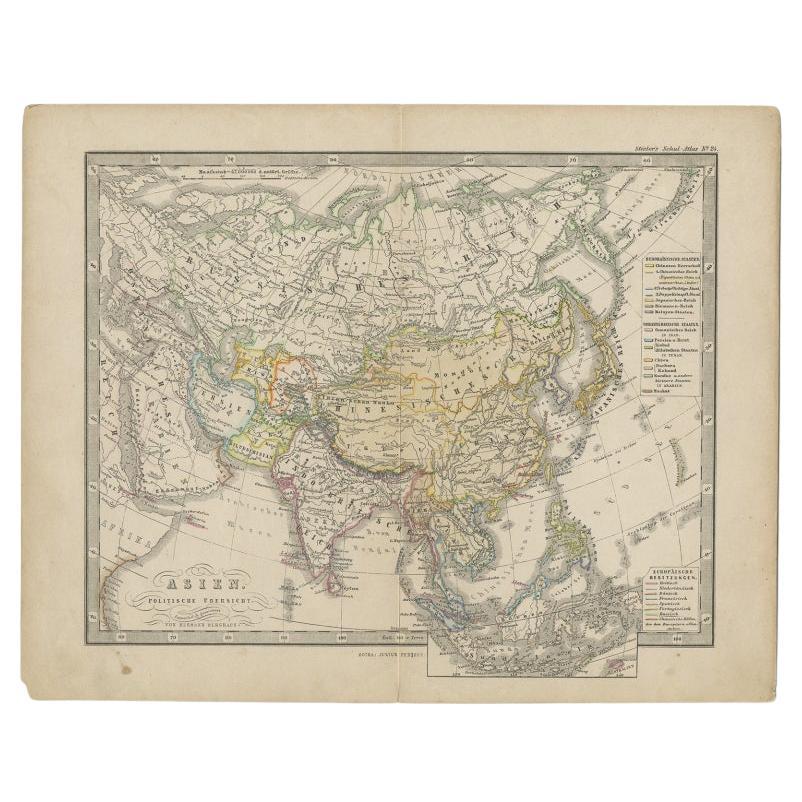
Antique Map of the Asian Continent from a German School Atlas, 1862
Located in Langweer, NL
Antique map titled 'Asien Politische Ubersicht'. Old map of the Asian continent. Originates from Stieler's 'Schul-Atlas'. Artists and Engravers: Published by Johan Georg Justus Per...
Paper
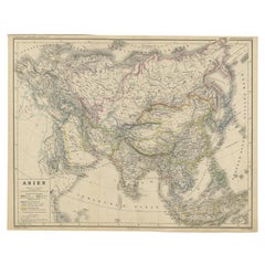
Antique Map of Asia from a German School Atlas, c.1870
Located in Langweer, NL
Antique map titled 'Asien'. Old map of the Asian continent. This map originates from 'H. Kiepert's Kleiner Atlas der Neueren Geographie für Schule und Haus'. Artists and Engravers:...
Paper
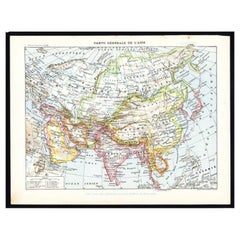
Antique Map of Asia by Larousse, 1897
Located in Langweer, NL
Front: 'Carte Generale de l'Asie.' (General map of Asia). Rear: 'Asie.' (Asia, scenes of Asia, nature, plants and animals, people, costume).' This rare early lithographic print origi...
Paper
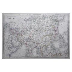
Large Original Antique Map of Asia by Sidney Hall, 1847
Located in St Annes, Lancashire
Great map of Asia Drawn and engraved by Sidney Hall Steel engraving Original colour outline Published by A & C Black. 1847 Unframed Free shipping
Paper
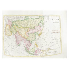
Antique 1803 Italian Map of Asia Including China Indoneseia India
Located in Amsterdam, Noord Holland
Antique 1803 Italian Map of Asia Including China Indoneseia India Very nice map of Asia. 1803. Additional information: Type: Map Country of Manufacturing: Europe Period: 19th centu...
Paper
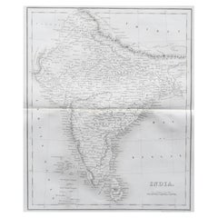
Original Antique Map of India by Dower, circa 1835
Located in St Annes, Lancashire
Nice map of India Drawn and engraved by J.Dower Published by Orr & Smith. C.1835 Unframed. Free shipping
Paper
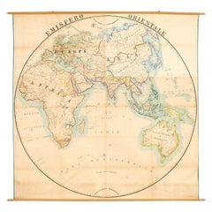
Antique Map of Eastern Hemisphere from the collection of Thierry Despont
Located in New York, NY
Designed by Enrico Bonetti (E. Bonatti) and published by Francesco Vallardi Editore. Based on an earlier map by Evangelista Azzi (Ev. Azzi). Labeled as such at bottom edge of map. T...
Canvas, Wood
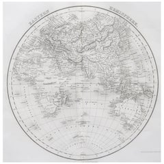
Original Antique Map of The Eastern Hemisphere by Dower, circa 1835
Located in St Annes, Lancashire
Nice map of the Eastern Hemisphere Drawn and engraved by J.Dower Published by Orr & Smith. C.1835 Unframed. Free shipping
Paper
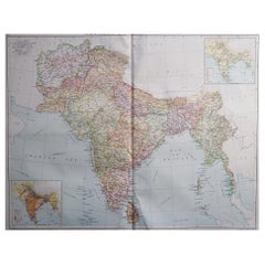
Large Original Vintage Map of India, circa 1920
Located in St Annes, Lancashire
Great map of India Original color. Good condition / repair to some minor damage just above Sri Lanka. Shown in the last image. Published by Alexander Gross Unframed.
Paper