Want more images or videos?
Request additional images or videos from the seller.

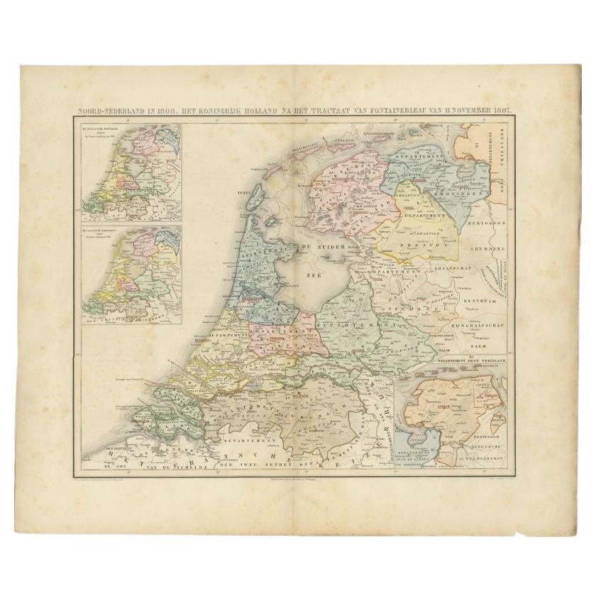
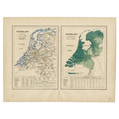
Antique Elevation Map of the Netherlands by Beekman & Schuiling, 1927

$73.45
£55.39
€65VAT Included
CA$104.73
A$107.39
CHF 61.18
MX$1,366.93
NOK 702.80
SEK 733.27
DKK 495.61

About the Item

Antique map titled 'Nederland Hoogtekaart'. This map originates from 'Schoolatlas der Geheele Aarde' published in Zutphen by W.J. Thieme & Cie. Artists and Engravers: Authors: Beekman & Schuiling. Condition: Good. General age-related toning, some creasing. Please study image carefully. Date: 1927 Overall size: 34 x 47 cm. Image size: 0.001 x 29.5 x 41 cm.
  • Dimensions:
    Height: 18.51 in (47 cm)Width: 13.39 in (34 cm)Depth: 0 in (0.01 mm)
  • Materials and Techniques:
  • Period:
  • Date of Manufacture:
    1927
  • Condition:
  • Seller Location:
    Langweer, NL
  • Reference Number:
    Seller: BG-003571stDibs: LU3054325638142

More From This Seller

View All
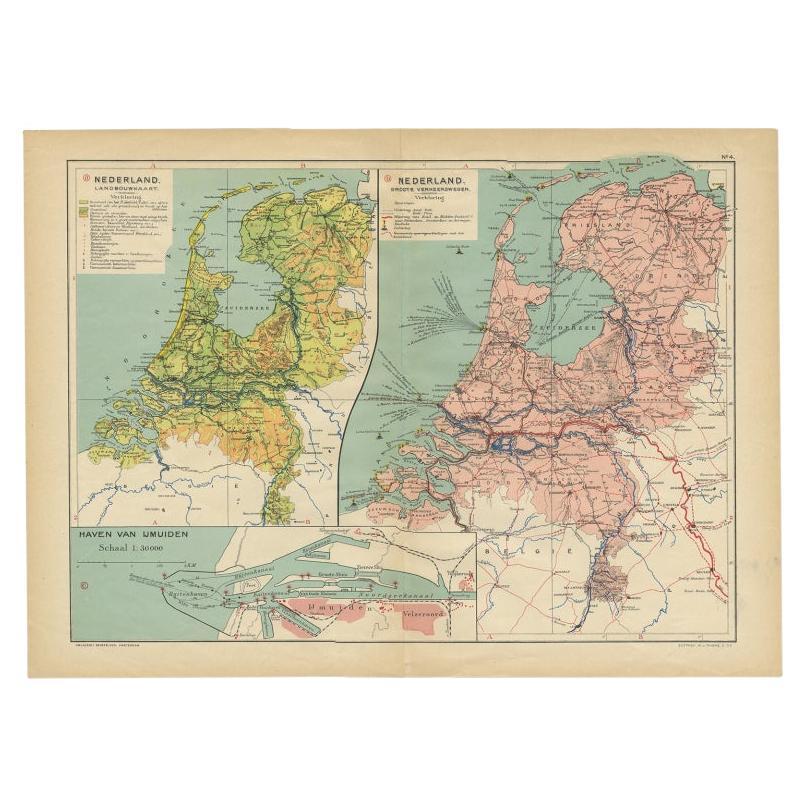
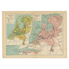
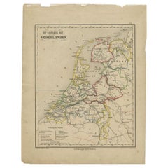
Antique Map of the Netherlands and IJmuiden by Beekman & Schuiling, 1927

Antique Map of the Netherlands and IJmuiden by Beekman & Schuiling, 1927

Located in Langweer, NL

Two maps on one sheet titled 'Nederland Landbouwkaart' and 'Nederland Groote Verkeerswegen'. With an inset map of the harbour of IJmuiden (The Netherlands). This map originates from ...

Category

20th Century Maps

Materials

Paper

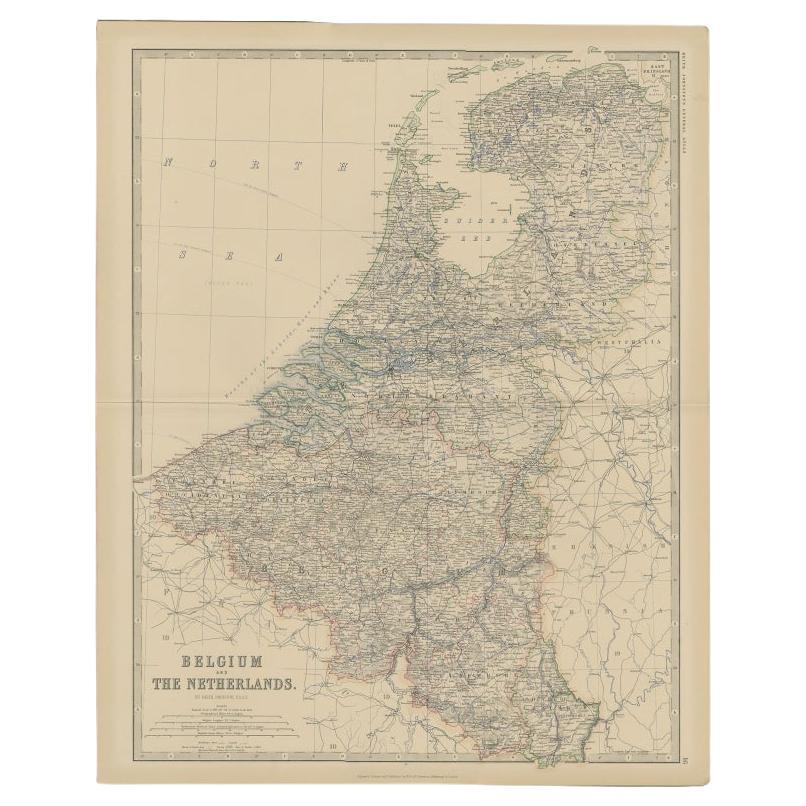
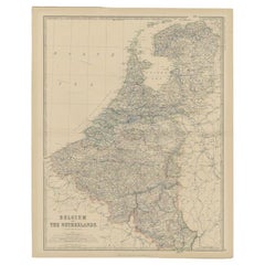
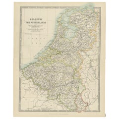
Antique Map of Belgium and the Netherlands by Johnston, 1882

Antique Map of Belgium and the Netherlands by Johnston, 1882

By Alexander Keith Johnston

Located in Langweer, NL

Antique map titled 'Belgium and the Netherlands'. Old map of Belgium and the Netherlands. This map originates from 'The Royal Atlas of Modern Geography, Exhibiting, in a Series of En...

Category

Antique 19th Century Maps

Materials

Paper

Antique Map of the Netherlands by Brugsma, c.1870

Antique Map of the Netherlands by Brugsma, c.1870

Located in Langweer, NL

Antique map titled 'Het Koningrijk der Nederlanden'. Map of the Netherlands. This map originates from 'F. C. Brugsma's Atlas van het Koninkrijk der Nederlanden (..)'. Artists and...

Category

Antique 19th Century Maps

Materials

Paper

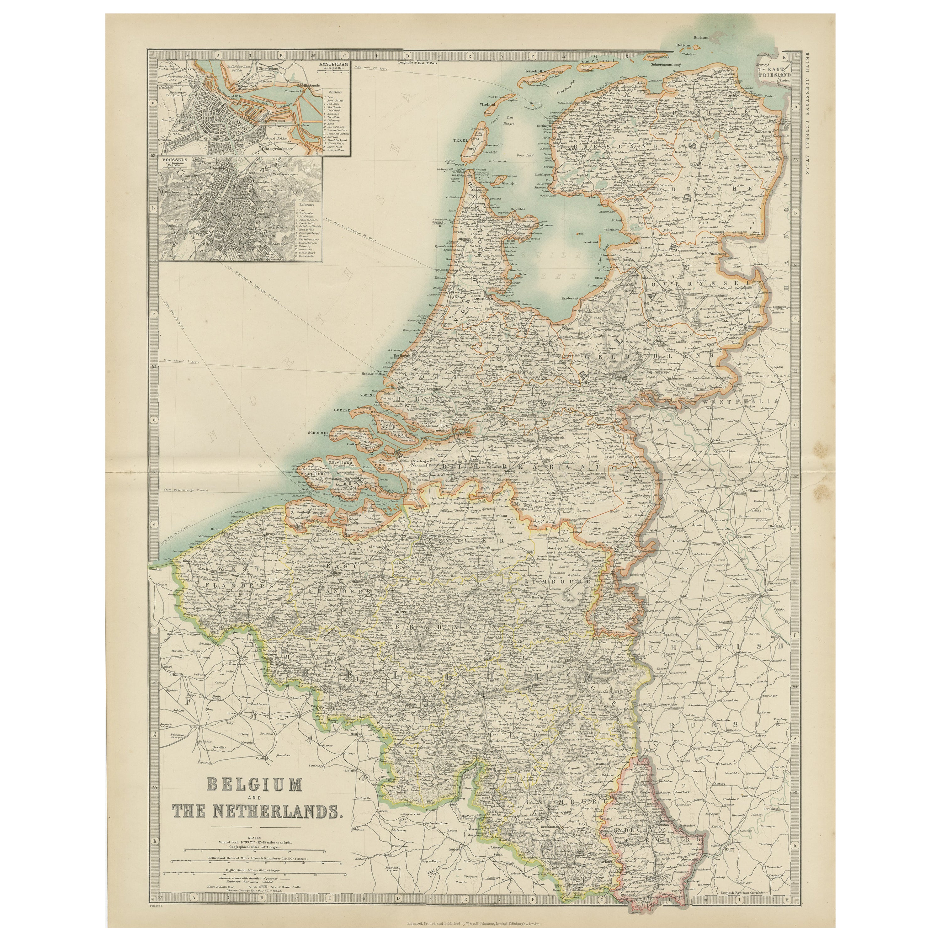
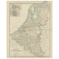
Antique Map of Belgium and the Netherlands by Johnston 'c.1920'

Antique Map of Belgium and the Netherlands by Johnston 'c.1920'

Located in Langweer, NL

Antique map titled 'Belgium and the Netherlands'. Original antique map of Belgium and the Netherlands. Published by W. & A.K. Johnston, circa 1920.

Category

20th Century Maps

Materials

Paper

You May Also Like

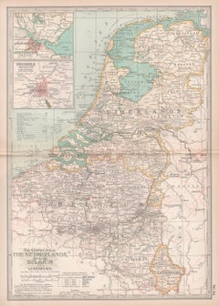
The Netherlands (Holland), Belgium and Luxemburg. Century Atlas antique map

The Netherlands (Holland), Belgium and Luxemburg. Century Atlas antique map

Located in Melbourne, Victoria

'The Century Atlas. The Netherlands (Holland), Belgium and Luxemburg.' Original antique map, 1903. Inset maps of 'Amsterdam' and 'Brussels'. Central fold as issued. Map name and num...

Category

Early 20th Century Victorian More Prints

Materials

Lithograph

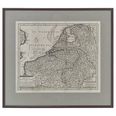
18th Century Dutch Map of the Seventeen Provinces by Isaak Tirion, circa 1750

18th Century Dutch Map of the Seventeen Provinces by Isaak Tirion, circa 1750

Located in Oud Beijerland, NL

Original engraved map titled “Nieuwe en Naauwkeurige Kaart der XVII Provinciën van Nederland”, published in Amsterdam by the renowned Dutch cartographer and publisher Isaak Tirion (1...

Category

Antique 1750s Dutch Louis XV Prints

Materials

Glass, Wood, Paper

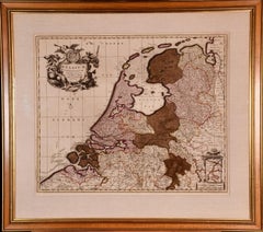
Belgium and the Netherlands: A Hand-colored 17th Century Map by Visscher

Belgium and the Netherlands: A Hand-colored 17th Century Map by Visscher

By Nicolaus Visscher

Located in Alamo, CA

This is an original hand-colored 17th century map of Belgium by Nicolaus (Nicolas) Visscher II entitled "Belgium Foederatum emendate auctum et novissime editum", published in Amsterdam in 1678. The map shows the seven provinces comprising the Belgium federation or the Republic of the Seven United Netherlands or the Dutch Republic as it was also known. The republic was formed when an alliance of seven Dutch provinces in the Spanish Netherlands revolted against rule by Spain in 1579 (the Union of Utrecht) and declared their independence in 1581 (the Act of Abjuration). The seven provinces were Groningen, Frisia, Overijssel, Guelders, Utrecht, Holland and Zeeland. This was a predecessor state to the Netherlands and the first fully independent Dutch nation state. Amsterdam, Delft, Rouen, Utrecht, Brugge, Ghent, and Antwerp are all included on the map. A small inset map in the lower right depicts the course of the Maas River from Maastricht to Wessem. There is a decorative cartouche in the upper left corner and a distance scale cartouche in the lower right corner. The map is presented in an attractive antiqued medium brown-colored wood frame with gold-colored inner and outer trim and a light tan-colored fabric mat. The frame measures 26.63" high by 30" wide by 0.75" deep. There is some darkening of the red areas in the map, presumably related to oxidation of the original iron containing pigment over time. There are also a few scattered spots. The map is otherwise in very good condition. The Visscher family were one of the great cartographic families of the 17th century. Begun by Claes Jansz Visscher...

Category

Late 17th Century Other Art Style Landscape Prints
Materials

Engraving

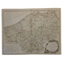
1752 Vaugoundy Map of Flanders : Belgium, France, and the Netherlands, Ric.a002

1752 Vaugoundy Map of Flanders : Belgium, France, and the Netherlands, Ric.a002

Located in Norton, MA

Large Vaugoundy Map of Flanders: Belgium, France, and the Netherlands Colored -1752 Ric.a002 Description: This is a 1752 Didier Robert de Vaugondy map of Flanders. The map de...

Category

Antique 17th Century Unknown Maps

Materials

Paper