Want more images or videos?
Request additional images or videos from the seller.

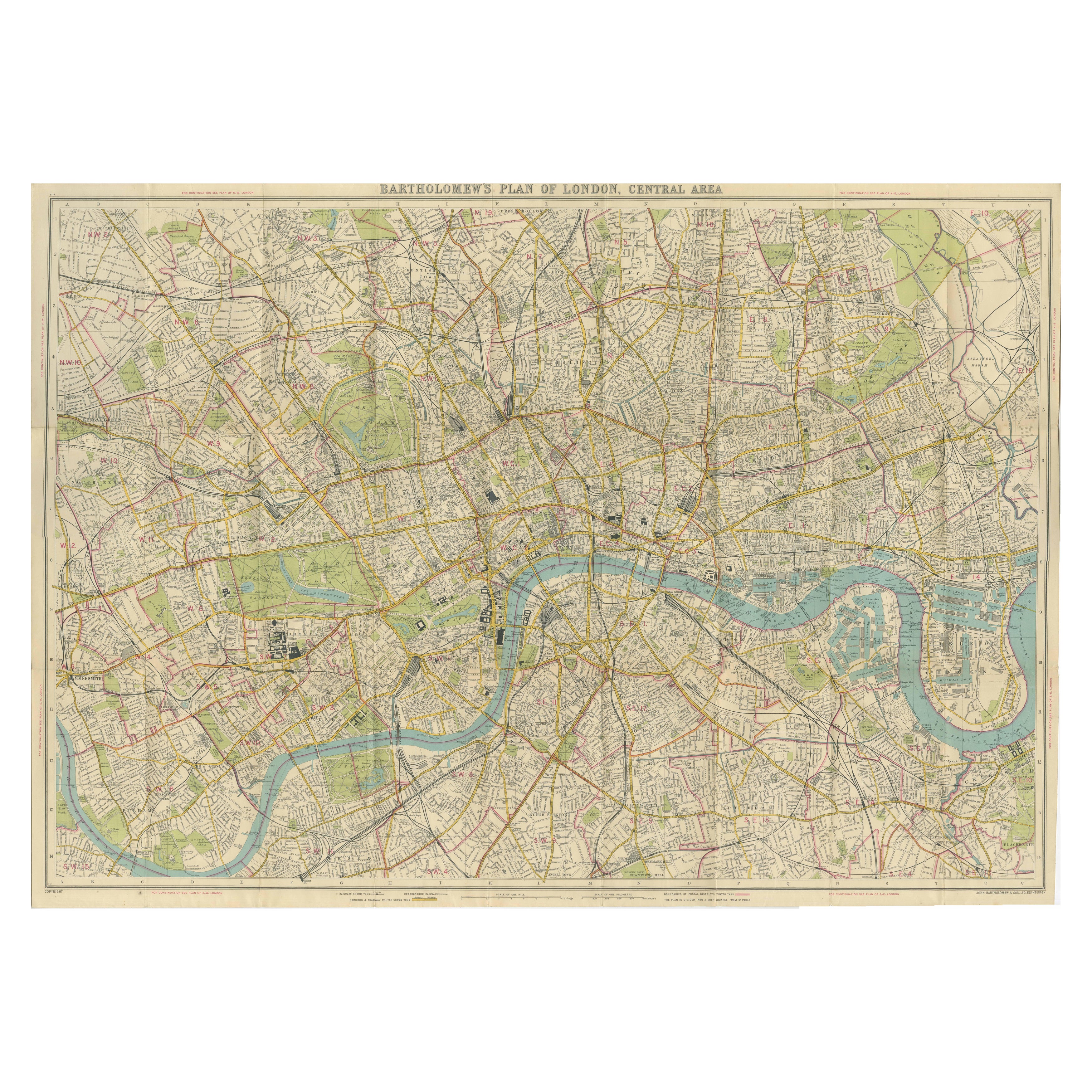
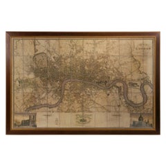
Large Scale Early 20th Century Wall Map of London

$5,409.49
£3,960
€4,840.52
CA$7,564.53
A$7,702.81
CHF 4,457.14
MX$101,573.04
NOK 49,838.34
SEK 53,063.70
DKK 36,176.82

About the Item

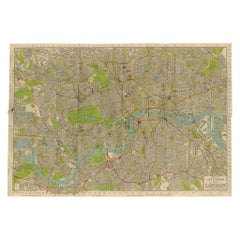
Large scale early 20th Century wall map of London by Bartholomew.  Plan of London Fire Brigade Instructional Map. Colour map of London by renowned Edinburgh mapmaker John Bartholomew, dating to circa 1939. It features an exceptionally detailed depiction of the city, with almost all streets named, major public buildings illustrated, and postal districts clearly marked. Believed to have been used as an instructional map for fire brigade training, making it a fascinating piece of London urban and emergency-services history.
  • Dimensions:
    Height: 46.86 in (119 cm)Width: 61.82 in (157 cm)Depth: 1.97 in (5 cm)
  • Materials and Techniques:
  • Place of Origin:
  • Period:
  • Date of Manufacture:
    1939
  • Condition:
  • Seller Location:
    Gloucestershire, GB
  • Reference Number:
    Seller: WD47544141stDibs: LU961452776072

More From This Seller

View All
Large 19th Century Map of London by Edward Stanford

Large 19th Century Map of London by Edward Stanford

Located in Gloucestershire, GB

Large 19th Century Map of London by Stanford, Edward (1827–1904) — Map of London and its Environs (1878).  Title: Map of London and its Environs, Shewing the Boundary of the Jurisdi...

Category

Antique 19th Century English Prints

Materials

Paper
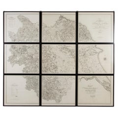
Very Large Early 19th Century Wall Map of Yorkshire

Very Large Early 19th Century Wall Map of Yorkshire

Located in Gloucestershire, GB

An incredibly large and wonderful early 19th Century wall map of Yorkshire.  Christopher Greenwood's large-scale map of Yorkshire. Framed in nine individual sections in black lacque...

Category

Antique 19th Century English Prints

Materials

Paper
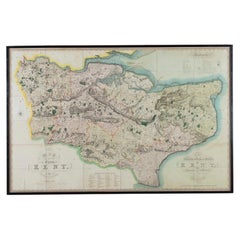
Large Scale Early 19th Century Wall Map of Kent (1821)

Large Scale Early 19th Century Wall Map of Kent (1821)

Located in Gloucestershire, GB

Large scale early 19th Century wall map of Kent (1821).   An impressive and highly detailed large-scale wall map of Kent, published July 19th, 1821 by Christopher and John Greenwood...

Category

Antique 19th Century English Prints

Materials

Paper
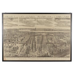
Large Early 20th Century Prospect of the City of London, Westminster and St. Jam

Large Early 20th Century Prospect of the City of London, Westminster and St. Jam

Located in Gloucestershire, GB

Large early 20th Century Prospect of the City of London, Westminster and St. James’s Park after Johannes Kips. Published by The London Topographical Society, publication date 1904. ...

Category

20th Century English Prints

Materials

Paper
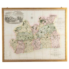
Large Scale Early 19th Century Original Wall or Folding Map of Surrey

Large Scale Early 19th Century Original Wall or Folding Map of Surrey

Located in Gloucestershire, GB

An original large scale early 19th Century wall or folding map of Surrey by Christopher Greenwood.       Published 1st September 1823. Note, This map is now framed. Christopher (178...

Category

Antique 19th Century English Prints

Materials

Paper

Early 19th Century Map Of Rome

Early 19th Century Map Of Rome

Located in Gloucestershire, GB

An early 19th Century map of Rome in a gilt frame. Circa 1830.

Category

Antique 19th Century Italian Prints

Materials

Paper

You May Also Like

Large Scale Map of the London Metropolis

Large Scale Map of the London Metropolis

Located in Dallas, TX

The product is a large scale map of the London Metropolis, specifically focusing on the city in intricate detail. It would be a valuable collectible for those interested in maps and ...

Category

Mid-20th Century English Maps

Materials

Paper

Antique Map of London by Thomas Moule and William Schmollinger

Antique Map of London by Thomas Moule and William Schmollinger

Located in Rochester, NY

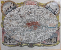
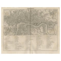
Decorative engraved map of London by William Schmollinger for Moule's English County maps. Hand colored. Circa 1830's.

Category

Antique Early 19th Century English Prints

Materials

Paper
Vintage Map of London – Bartholomew’s Plan of Central London, c.1929

Vintage Map of London – Bartholomew’s Plan of Central London, c.1929

Located in Langweer, NL

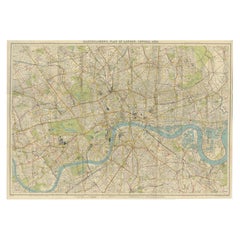
London Central Map c.1929 – Bartholomew Antique City Plan This detailed city plan, titled “Bartholomew’s Plan of London, Central Area,” was published by John Bartholomew & Son, Edin...

Category

Early 20th Century Scottish Maps

Materials

Paper

Vintage Map of London – Phillips’ Tape Indicator Map of Central London, c.1930

Vintage Map of London – Phillips’ Tape Indicator Map of Central London, c.1930

Located in Langweer, NL

Phillips Tape Indicator Map of London c.1930 – Antique City Plan This large and detailed map of central London is titled “Phillips’ Tape Indicator Map of London.” It was published b...

Category

Early 20th Century Scottish Maps

Materials

Paper

Large Original Vintage Map of the United Kingdom, circa 1920

Large Original Vintage Map of the United Kingdom, circa 1920

Located in St Annes, Lancashire

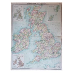
Great map of The United Kingdom Unframed Original color By John Bartholomew and Co. Edinburgh Geographical Institute Published, circa 1920 Free shipping.    

Category

Vintage 1920s British Maps

Materials

Paper

Antique Map of the City of London by Balbi '1847'

Antique Map of the City of London by Balbi '1847'

Located in Langweer, NL

Antique map titled 'London'. Original antique map of the city of London. This map originates from 'Abrégé de Géographie (..)' by Adrien Balbi. Published 1847.

Category

Antique Mid-19th Century Maps

Materials

Paper