Want more images or videos?
Request additional images or videos from the seller
1 of 5

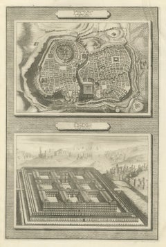
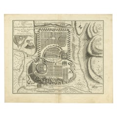
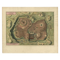
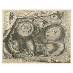
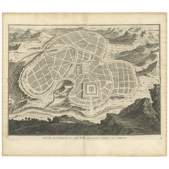
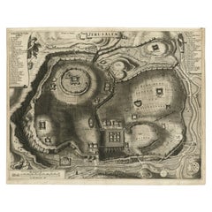
Bird's-Eye Plan of Solomon's Temple to the West, Jerusalem in Israel, 1677

Price:$400
$673.96List Price

You May Also Like

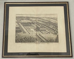
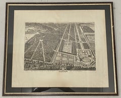
18th Century Engraving "Birdseye View of New Park in Surrey" c.1724

18th Century Engraving "Birdseye View of New Park in Surrey" c.1724

Located in San Francisco, CA

18th Century Engraving "Birdseye View of New Park in Surrey" c.1724 Bird's eye view of the the New Park in Surrey, the Seat of the Honorable Earle of Rochester From the 1724 editio...

Category

Early 18th Century Landscape Prints

Materials

Etching

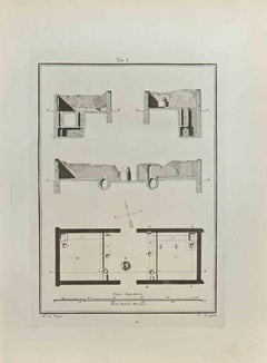
Plan of the Palace Farnese Engraving, Mannerism, Framed, 1738 Signed Falda

Plan of the Palace Farnese Engraving, Mannerism, Framed, 1738 Signed Falda

By Giovan Battista Falda

Located in Roma, Lazio

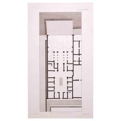
A very interesting and important Engraving, framed between two glasses and two colors natural and gilded wood frame of the Plan of the palace of Caprarola that inspired the American ...

Category

Late 18th Century Landscape Prints

Materials

Paper

18th Century Engraving "Birdseye View of Grand Country House at Hamstead Marshal

18th Century Engraving "Birdseye View of Grand Country House at Hamstead Marshal

Located in San Francisco, CA

18th Century Engraving "Birdseye View of Grand Country House at Hamstead Marshall" C.1924 Bird's eye view of the grand country house and gardens at Hamstead Marshall in Berkshire, o...

Category

Early 18th Century Landscape Prints

Materials

Etching
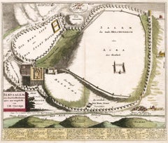
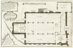
The plan of St. Martin's Church, St. Martin in the Fields

The plan of St. Martin's Church, St. Martin in the Fields

By George Vertue

Located in Middletown, NY

London: Society of Antiqauries London, 1744. Engraving on buff wove paper with a large heraldic watermark with Strasbourg lily with a crown and shied and the letters LVG, 9 1/2 x 14 ...

Category

Mid-18th Century English School Landscape Prints

Materials

Engraving, Handmade Paper

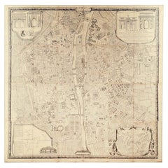
"Plan de Paris" - Antique Recreation of a Map of Paris

"Plan de Paris" - Antique Recreation of a Map of Paris

Located in New York, NY

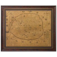
Printed in the Early 20th Century, this antique "Plan de Paris" is a recreation of an earlier map from 1710, originally commissioned by Louis XIV. It was an intricately rendered view...

Category

Early 20th Century French Louis XIV Maps

Materials

Linen, Wood, Paper

Early 18th Century Plan of Paris, 'Louis XIVs Paris & Versailles at the Height o

Early 18th Century Plan of Paris, 'Louis XIVs Paris & Versailles at the Height o

Located in Gloucestershire, GB

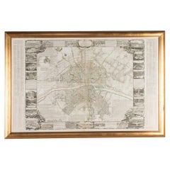
Early 18th Century plan of Paris, 'Louis XIVs Paris & Versailles at the Height of His Reign'. This plan is very rare on the market. The present example, complete with side text pane...

Category

Antique 18th Century French Prints

Materials

Paper

Plan of Paris, France, by A. Vuillemin, Antique Map, 1845

Plan of Paris, France, by A. Vuillemin, Antique Map, 1845

Located in Colorado Springs, CO

This large and detailed plan of Paris was published by Alexandre Vuillemin in 1845. The map conveys a wonderful amount of information and is decorated throughout with pictorial vigne...

Category

Antique 1840s American Maps

Materials

Paper

More From This Seller

View All
Plan of Jerusalem and Bird's Eye View of Solomon's Temple, Mortier, circa 1700

Plan of Jerusalem and Bird's Eye View of Solomon's Temple, Mortier, circa 1700

Located in Langweer, NL

This original copperplate engraving from Pieter Mortier's illustrated Bible, Amsterdam circa 1700, shows two biblical scenes on one sheet: 1 Kings 8, a bird's eye plan of the city of...

Category

Antique Late 17th Century Dutch Prints

Materials

Paper

Bird's-Eye Plan of Jerusalem in Israël, a Rare Original Engraving, 1750

Bird's-Eye Plan of Jerusalem in Israël, a Rare Original Engraving, 1750

Located in Langweer, NL

Antique map titled 'De VIIde Landkaart Verbeeldende de Stad Jerusalem Beneven de daar Omgelegen Bergen en Dalen (..).' Bird's-eye plan of Jerusalem in Israel. This map shows the mo...

Category

Antique 18th Century Maps

Materials

Paper

Bird's Eye Plan of the Ancient City of Jerusalem Based on Old Records, c.1725

Bird's Eye Plan of the Ancient City of Jerusalem Based on Old Records, c.1725

Located in Langweer, NL

Antique map titled 'Beschryving van het oude Jeruzalem volgens Villalpandus.' Bird's eye plan of the ancient city of Jerusalem based on Villalpando's foundation map. The plan shows...

Category

Antique Early 18th Century French Maps

Materials

Paper

Plan of Ancient Jerusalem – Cornelis de Bruijn’s Engraved City View c.1698

Plan of Ancient Jerusalem – Cornelis de Bruijn’s Engraved City View c.1698

Located in Langweer, NL

Plan of Ancient Jerusalem – Cornelis de Bruijn’s Engraved City View c.1698 This antique map titled Jerusalem is an intricate plan of the ancient city, richly detailed and marked wit...

Category

Antique Late 17th Century Dutch Prints

Materials

Paper

Antique Map of the Ancient City of Jerusalem by A. Calmet, 1725

Antique Map of the Ancient City of Jerusalem by A. Calmet, 1725

Located in Langweer, NL

Antique map, titled: 'Nieuwe Plattegrond van het Oude Jeruzalem Volgens den Schryver.' - Bird's-eye view of the ancient city of Jerusalem shows its divisions with prominent depiction...

Category

Antique Early 18th Century French Prints

Materials

Paper

Antique Detailed Map of Jerusalem in Israël with Extensive Key and Scale, 1698

Antique Detailed Map of Jerusalem in Israël with Extensive Key and Scale, 1698

Located in Langweer, NL

Antique map titled 'Jerusalem.' Plan of the ancient city of Jerusalem. With extensive key and scale. Source unknown, to be determined. Artists and Engravers: Made by 'Cornelis de...

Category

Antique 17th Century Dutch Maps

Materials

Paper