Want more images or videos?
Request additional images or videos from the seller.

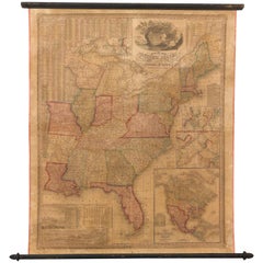
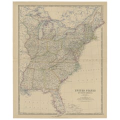
"The United States from the Latest Authorities" Antique Wall Map, 1835

$4,850
£3,738.45
€4,471.97
CA$7,053.21
A$7,271.32
CHF 4,131.50
MX$92,041.63
NOK 47,311.50
SEK 49,564.66
DKK 33,430.67

About the Item

This is a 1835 map of “The United States from the Latest Authorities” by Ezra Strong. A hand-colored engraved wall map of the eastern half of the United States, this map has a large inset of the "Oregon District" and several engraved city views and two portraits. The primary map extends to Mexico Texas and the Missouri Territory, showing the course of the Missouri River to Ft. Mandan and Old Ft. Mandan, and noting many forts along the river. The territories to the east of Missouri Territory are separately delineated as Sioux District and Huron District. The western details of the map are very good for a map of this time period, with many Native American settlements, villages, forts and other details noted. The map is bordered with vignettes of Boston, New York, Philadelphia, Hartford, Cincinnati, and Baltimore. Each vignette notes the date settled, primary settler, and the population as of 1830. Two portraits of LaFayette and George Washington are presented in full length with related biographical information. A large inset map at lower right shows the Oregon District, centered on the Columbia River and extending to the Rocky Mountains. This is one of the earliest commercial appearances of a separate map of Oregon Territory in any publication. A smaller inset shows South Florida. A table at right shows comparative river lengths; a table at left presents population statistics. Ezra Strong was a regarded book publisher, yet this wall map and one of other map of Ohio, Indiana, Illinois, and Michigan are the only two recorded examples of his maps. Both are exceptionally rare. Condition: Map presented on early wooden rollers, backed on modern canvas. Map has various restorations but presents nicely. Published by Ezra Strong, Hartford, CT, 1835.
  • Dimensions:
    Height: 25.5 in (64.77 cm)Width: 35.5 in (90.17 cm)Depth: 0.07 in (1.78 mm)
  • Materials and Techniques:
  • Place of Origin:
  • Period:
  • Date of Manufacture:
    1835
  • Condition:
    Repaired: Backed onto modern linen. Wear consistent with age and use.
  • Seller Location:
    Colorado Springs, CO
  • Reference Number:
    Seller: M2971stDibs: LU909719045422

More From This Seller

View All
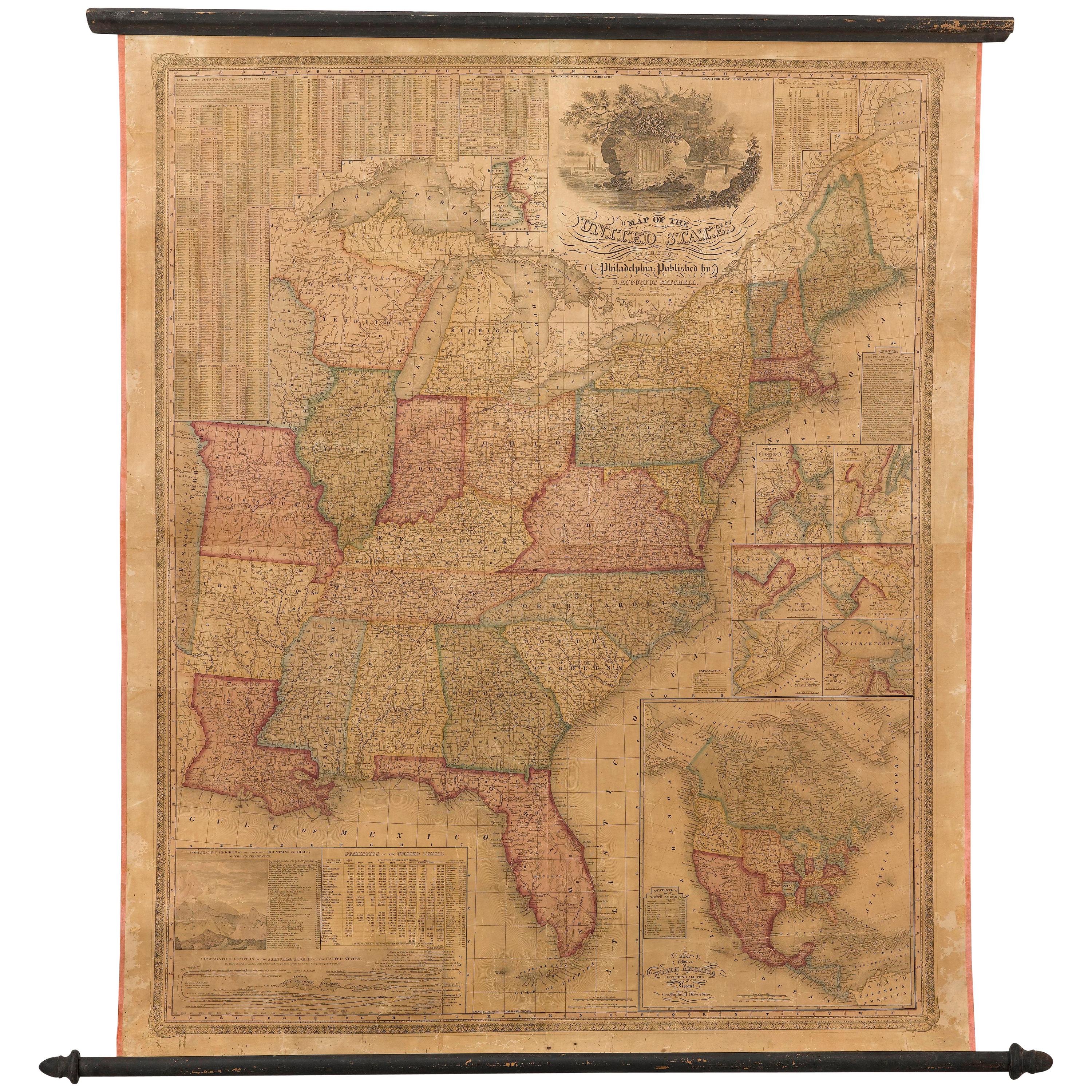
1842 Wall Map of the United States by J. H. Young, Published by S. A. Mitchell

1842 Wall Map of the United States by J. H. Young, Published by S. A. Mitchell

Located in Colorado Springs, CO

Presented is an 1842 hanging “Map of the United States,” engraved by J. H. Young and published by Samuel Augustus Mitchell, Philadelphia. This is a beautiful example of the rare 1842...

Category

Antique 1840s American Maps

Materials

Paper

1863 "Lloyd's New Map of the United States, the Canadas, and New Brunswick"

1863 "Lloyd's New Map of the United States, the Canadas, and New Brunswick"

Located in Colorado Springs, CO

Presented is “Lloyd's New Map of the United States, the Canadas and New Brunswick, From the latest Surveys, Showing Every Railroad & Station Finished to June 1863, and the Atlantic and Gulf Coasts.” A large, Civil War-era hanging map of the United States and adjacent territories, this map covers the area from the Atlantic Ocean and extends as far west as the 103 meridian, to “Dacotah,” Nebraska, Kansas, "Indian Territory," and Texas. The southern continuation of Florida is shown in an inset map along the right margin. This map was published by J. T. Lloyd, in New York, in 1863. According to the publisher’s marking at lower right, this map was originally issued in two states: "in Sheets, Colored" for 50 cents, and "Varnished nicely, with Rollers" for $1. Throughout the map, the counties are colored and the towns and cities well labeled. A reference key in the bottom margin provides symbols for railroads, turnpikes and wagon roads, state capitals, cities and towns, and village post offices. As emphasized in the map’s title, this map is especially notable for the countless railway lines and stations depicted, with distances noted between points, listing “every railroad and finished station to June 1863.” Additionally, two shipping agents and their routes are drawn out of New York City. The map includes details of the steamship routes into New York and Philadelphia from Liverpool and on to California and Oregon via an overland Nicaraguan trek, presumably to assist gold rush emigrants. This expansive and impressive map depicts the eastern half of the United States in the third year of the Civil War. In order not to recognize the legitimacy of the Confederate States of America, each state is shown in the same manner as the Union states. The only indication that the American Civil War was in progress when this map was published is a printed notice that Gideon Wells, Secretary of the Navy, wishes to acquire a quote on 100 copies of Lloyd’s Mississippi River map...

Category

Antique 1860s American Maps

Materials

Linen, Wood, Paper

1845 "Ensign's Travellers' Guide and Map of the United States" Hand-Colored Map

1845 "Ensign's Travellers' Guide and Map of the United States" Hand-Colored Map

Located in Colorado Springs, CO

This is an exquisite and dramatic steel-engraved wall map of the United States, published by T. & E. H. Ensign in 1845. The map depicts the development and settlement of the Unit...

Category

Antique 1840s American Victorian Maps

Materials

Paper

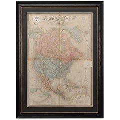
1864 Map of North America, Antique Hand-Colored Map, by Adolphe Hippolyte Dufour

1864 Map of North America, Antique Hand-Colored Map, by Adolphe Hippolyte Dufour

Located in Colorado Springs, CO

Offered is a map of North America entitled Amerique du Nord from 1864. This rare, separately published wall map was produced by Adolphe Hippolyte Dufour. This map includes vibrant an...

Category

Antique 1860s French Maps

Materials

Paper

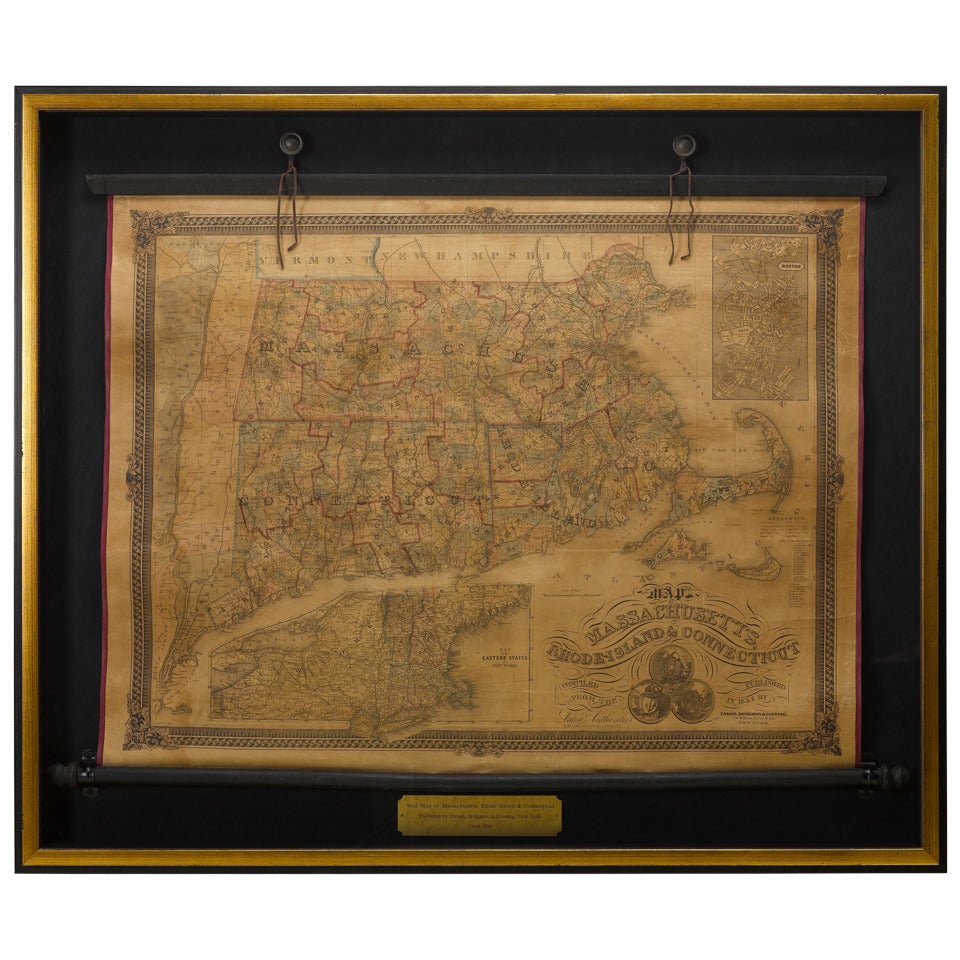
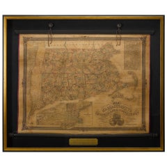
1854 Map of Massachusetts, Connecticut and Rhode Island, Antique Wall Map

1854 Map of Massachusetts, Connecticut and Rhode Island, Antique Wall Map

Located in Colorado Springs, CO

This striking wall map was published in 1854 by Ensign, Bridgman & Fanning and has both full original hand-coloring and original hardware. This impression is both informative and highly decorative. The states are divided into counties, outlined in red, green, and black, and subdivided into towns. Roads, canals, and railroad lines are prominently depicted, although they are not all labeled. The mapmakers also marked lighthouses, banks, churches, and prominent buildings, with a key at right. The map is an informative and comprehensive overview of the infrastructural development of New England prior to the Civil War. Physical geographies depicted include elevation, conveyed with hachure marks, rivers and lakes. The impression features an inset map of Boston...

Category

Antique 19th Century American Maps

Materials

Paper

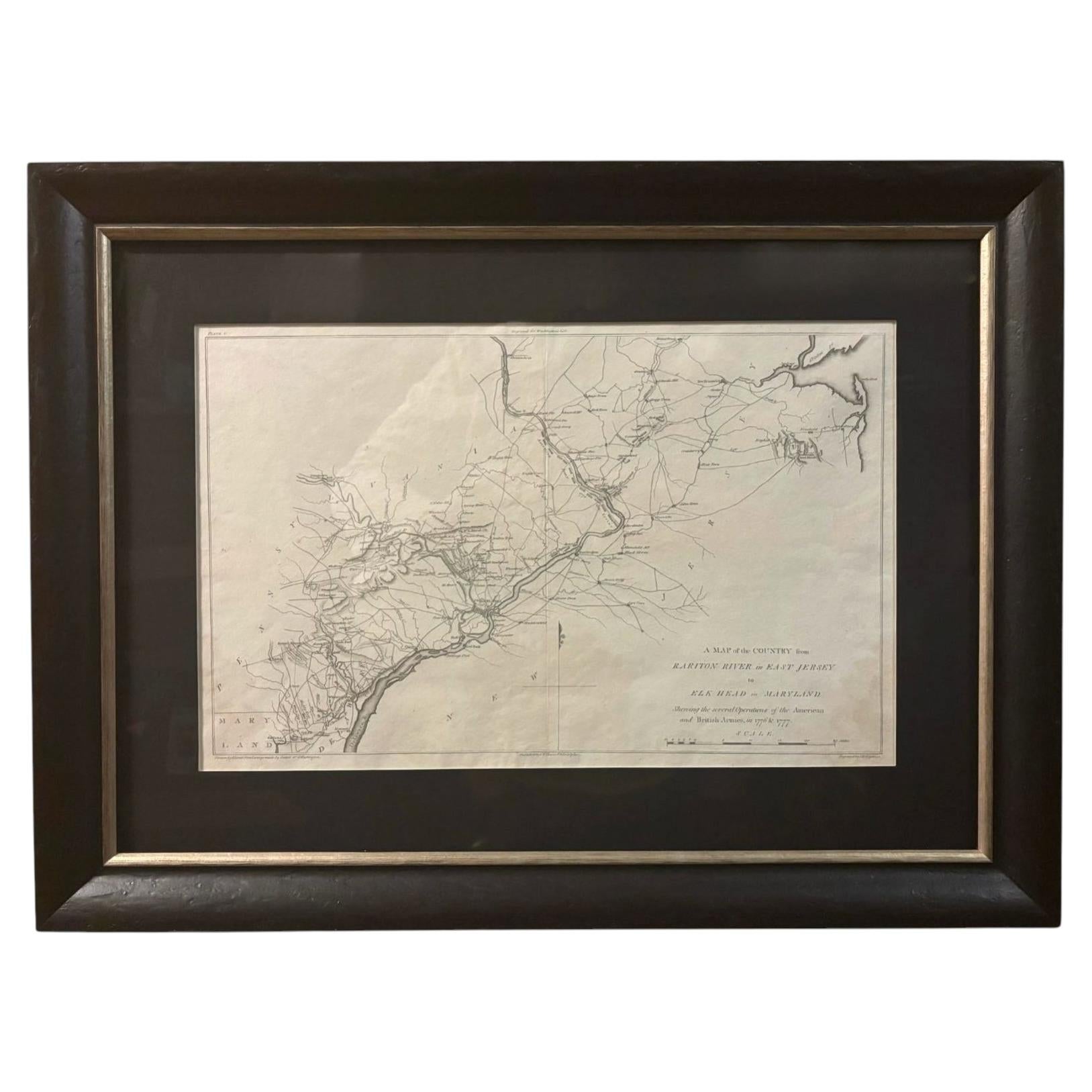
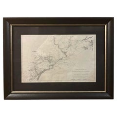
1807 "A Map of the Country..." by Samuel Lewis, Revolutionary War Map

1807 "A Map of the Country..." by Samuel Lewis, Revolutionary War Map

Located in Colorado Springs, CO

Presented is “A Map of the Country from Rariton River in East Jersey to Elk Head in Maryland, Shewing the several Operations of the American and British Armies, in 1776 & 1777.”  The...

Category

Antique Early 1800s American Federal Maps

Materials

Paper

You May Also Like

1830 Mexico and United States Framed Map

1830 Mexico and United States Framed Map

Located in Stamford, CT

Map of North America published circa 1830. Map shows United States into Canada. Mexico extending into the upper California territory. Texas appears in name but prior to the period of...

Category

Antique 1830s American American Classical Maps

Materials

Glass, Wood, Paper

English Engraved Hand Colored Map of the North Eastern United States, circa 1817

English Engraved Hand Colored Map of the North Eastern United States, circa 1817

Located in Charleston, SC

English copper engraved hand colored map of the North Eastern United States matted under glass in a gilt frame, Early 19th Century. Drawn and Engraved for Thomson's New General Atlas...

Category

Antique 1810s English George III Maps

Materials

Glass, Giltwood, Paint, Paper

Framed 1838 North America & Recent Discoveries Map

Framed 1838 North America & Recent Discoveries Map

Located in Stamford, CT

1838 map of North America & recent discoveries. Engraved color map by J. Wyld, London, England. This map shows Texas as a Republic without its panhandle. Framed in brown carved wood...

Category

Antique 1830s American American Classical Maps

Materials

Glass, Wood, Paper

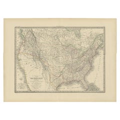
Antique Map of the United States of North America, c.1882

Antique Map of the United States of North America, c.1882

Located in Langweer, NL

Antique map titled 'United States of North America'. Old map of the United States of North America. This map originates from 'The Royal Atlas of Modern Geography, Exhibiting, in a Se...

Category

Antique 1880s Maps

Materials

Paper