Want more images or videos?
Request additional images or videos from the seller.

Old Map of the American Railroad Network and All Weather Roads on Verso, 1931

$507.76
£383.71
€450VAT Included
CA$723.94
A$746.32
CHF 424.05
MX$9,447.09
NOK 4,856.02
SEK 5,087.28
DKK 3,431.30

About the Item

This is the “New Census Edition” of Clason’s United States Green Guide. It features two large maps of the United States on a single sheet. The recto map shows the complete road network in the country with a legend identifying paved roads, all weather roads, and other thoroughfares. The verso shows states outlined in green with the dense railroad network delineated and individual railroads named. The map sheet is laid into the 32-page guidebook, which includes information on National Monuments, a table of distances, list of states and cities, and more. The pictorial covers feature an Indian maiden and priced at 35 cents (4.0 x 6.5”). This was the last year that the “green guide” was published as the Clason Company fell victim to the Great Depression in 1932.
  • Dimensions:
    Height: 20.71 in (52.6 cm)Width: 32.8 in (83.3 cm)Depth: 0 in (0.01 mm)
  • Materials and Techniques:
  • Period:
  • Date of Manufacture:
    1931
  • Condition:
    Incredibly clean and bright with a small abrasion in the top right corner of the road map where it was adhered to the guide. Issued folding. Light wear to covers.
  • Seller Location:
    Langweer, NL
  • Reference Number:
    1stDibs: LU3054335366082

More From This Seller

View All
Map of United States Central Sheet 1903 – Railroads, States, and Topography

Map of United States Central Sheet 1903 – Railroads, States, and Topography

Located in Langweer, NL

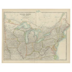
Map of United States Central Sheet 1903 – Railroads, States, and Topography This is a finely engraved and beautifully colored map titled "United States of North America (Central She...

Category

Early 20th Century English Maps

Materials

Paper

Antique Map of The United States of North America, 1882

Antique Map of The United States of North America, 1882

Located in Langweer, NL

This is a historical map titled "The United States of North America, Central Part" from the 1882 Blackie Atlas. It depicts the continental United States with a high level of detail, ...

Category

Antique 1880s British Maps

Materials

Paper

Antique Map of the United States of North America, c.1882

Antique Map of the United States of North America, c.1882

Located in Langweer, NL

Antique map titled 'United States of North America'. Old map of the United States of North America. This map originates from 'The Royal Atlas of Modern Geography, Exhibiting, in a Se...

Category

Antique 1880s Maps

Materials

Paper

North America Antique Railroad Map c.1888 – U.S., Canada & Mexico

North America Antique Railroad Map c.1888 – U.S., Canada & Mexico

Located in Langweer, NL

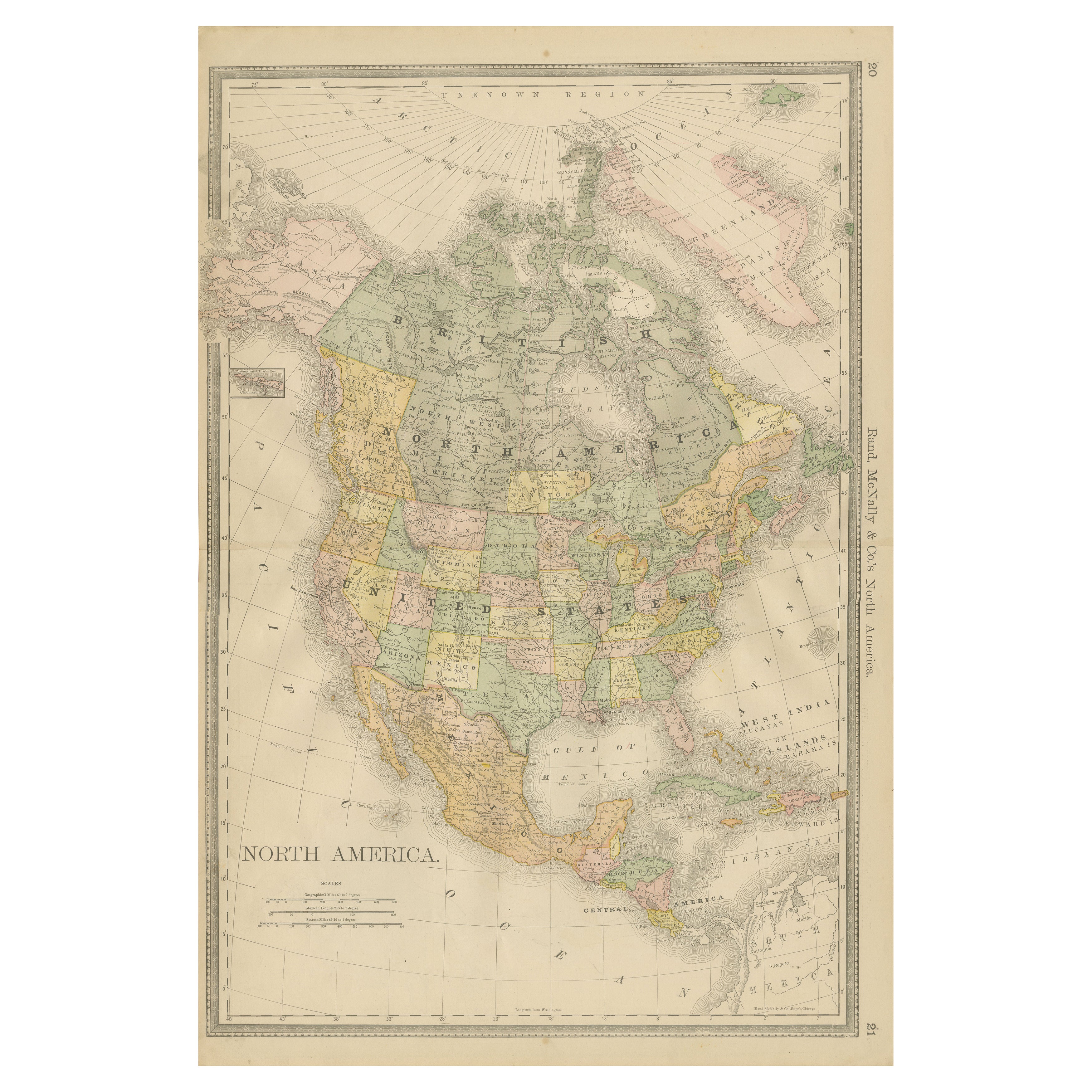
Antique Map of North America – Rand McNally, circa 1888 This antique map of North America, published by Rand, McNally & Co. circa 1888, offers a comprehensive view of the continent ...

Category

Antique Late 19th Century American Maps

Materials

Paper

Antique Map of the United States 'North West' by Johnston, '1909'

Antique Map of the United States 'North West' by Johnston, '1909'

Located in Langweer, NL

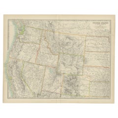
Antique map titled 'United States of North America'. Original antique map of the United States of North America ( North West ). This map originates from the ‘Royal Atlas of Modern Ge...

Category

Early 20th Century Maps

Materials

Paper

You May Also Like

1928 "Map of Rock Island Lines and Connections" United States Railroad Map

1928 "Map of Rock Island Lines and Connections" United States Railroad Map

Located in Colorado Springs, CO

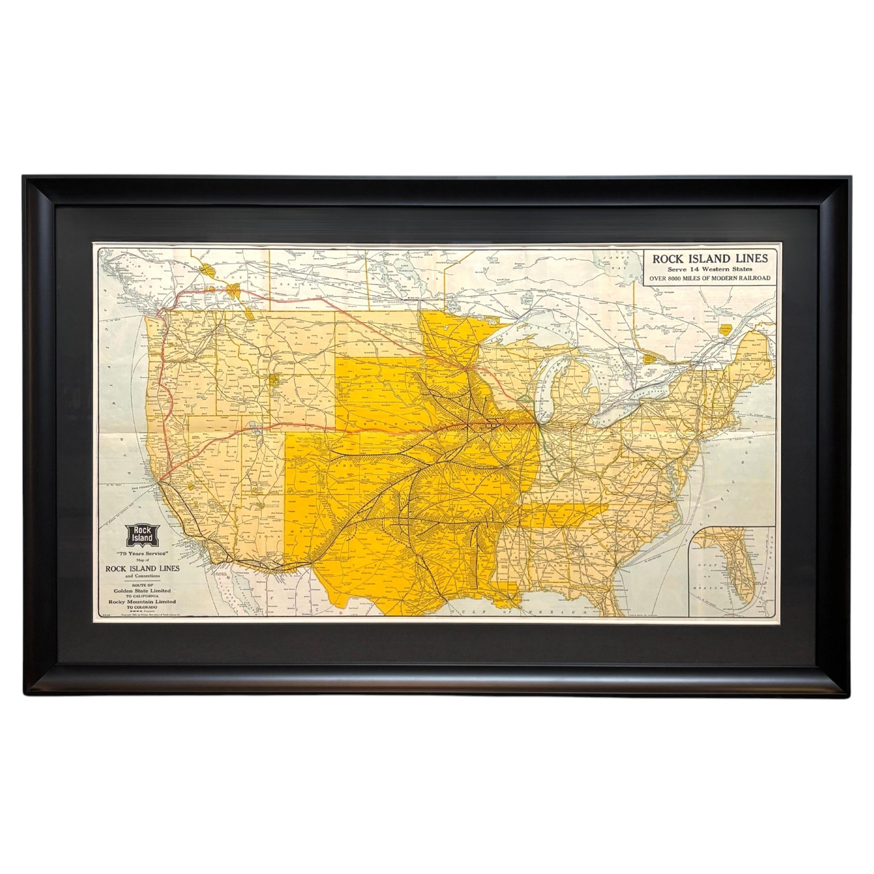
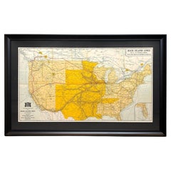
Presented is a 1928 "Map of Rock Island Lines and Connections: Route of Golden State Limited to California, Rocky Mountain Limited to Colorado." This large promotional map for the Ch...

Category

Vintage 1920s American Art Deco Maps

Materials

Paper

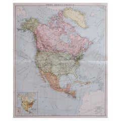
Large Original Vintage Map of North America, circa 1920

Large Original Vintage Map of North America, circa 1920

Located in St Annes, Lancashire

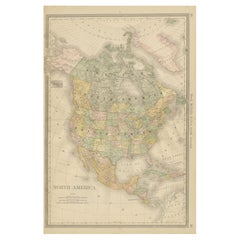
Great map of North America Original color. Good condition Published by Alexander Gross Unframed.  

Category

Vintage 1920s English Edwardian Maps

Materials

Paper

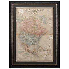
1864 Map of North America, Antique Hand-Colored Map, by Adolphe Hippolyte Dufour

1864 Map of North America, Antique Hand-Colored Map, by Adolphe Hippolyte Dufour

Located in Colorado Springs, CO

Offered is a map of North America entitled Amerique du Nord from 1864. This rare, separately published wall map was produced by Adolphe Hippolyte Dufour. This map includes vibrant an...

Category

Antique 1860s French Maps

Materials

Paper

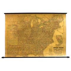
1863 "Lloyd's New Map of the United States, the Canadas, and New Brunswick"

1863 "Lloyd's New Map of the United States, the Canadas, and New Brunswick"

Located in Colorado Springs, CO

Presented is “Lloyd's New Map of the United States, the Canadas and New Brunswick, From the latest Surveys, Showing Every Railroad & Station Finished to June 1863, and the Atlantic and Gulf Coasts.” A large, Civil War-era hanging map of the United States and adjacent territories, this map covers the area from the Atlantic Ocean and extends as far west as the 103 meridian, to “Dacotah,” Nebraska, Kansas, "Indian Territory," and Texas. The southern continuation of Florida is shown in an inset map along the right margin. This map was published by J. T. Lloyd, in New York, in 1863. According to the publisher’s marking at lower right, this map was originally issued in two states: "in Sheets, Colored" for 50 cents, and "Varnished nicely, with Rollers" for $1. Throughout the map, the counties are colored and the towns and cities well labeled. A reference key in the bottom margin provides symbols for railroads, turnpikes and wagon roads, state capitals, cities and towns, and village post offices. As emphasized in the map’s title, this map is especially notable for the countless railway lines and stations depicted, with distances noted between points, listing “every railroad and finished station to June 1863.” Additionally, two shipping agents and their routes are drawn out of New York City. The map includes details of the steamship routes into New York and Philadelphia from Liverpool and on to California and Oregon via an overland Nicaraguan trek, presumably to assist gold rush emigrants. This expansive and impressive map depicts the eastern half of the United States in the third year of the Civil War. In order not to recognize the legitimacy of the Confederate States of America, each state is shown in the same manner as the Union states. The only indication that the American Civil War was in progress when this map was published is a printed notice that Gideon Wells, Secretary of the Navy, wishes to acquire a quote on 100 copies of Lloyd’s Mississippi River map...

Category

Antique 1860s American Maps

Materials

Linen, Wood, Paper

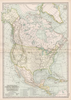
North America. Century Atlas antique vintage map

North America. Century Atlas antique vintage map

Located in Melbourne, Victoria

'The Century Atlas. North America' Original antique map, 1903. Central fold as issued. Map name and number printed on the reverse corners. Sheet 40cm by 29.5cm.

Category

Early 20th Century Victorian More Prints

Materials

Lithograph

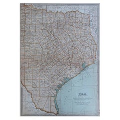
Original Antique Map of the American State of Texas ( Eastern Part ), 1903

Original Antique Map of the American State of Texas ( Eastern Part ), 1903

Located in St Annes, Lancashire

Antique map of Texas ( Eastern part ) Published By A & C Black. 1903 Original colour Good condition Unframed. Free shipping

Category

Antique Early 1900s English Maps

Materials

Paper