Want more images or videos?
Request additional images or videos from the seller.

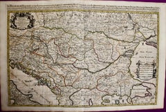
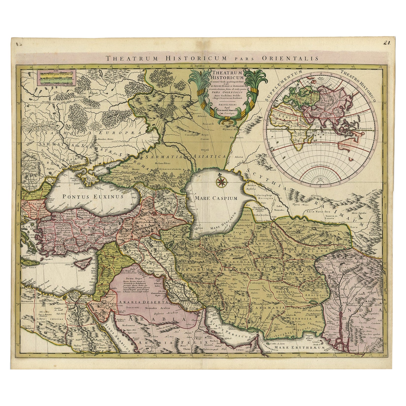
Large Map of the Habsburg–Ottoman War, Hungary & Balkans, 1729

$784.20
£592.62
€695VAT Included
CA$1,118.08
A$1,152.65
CHF 654.93
MX$14,590.51
NOK 7,499.86
SEK 7,857.03
DKK 5,299.46

About the Item

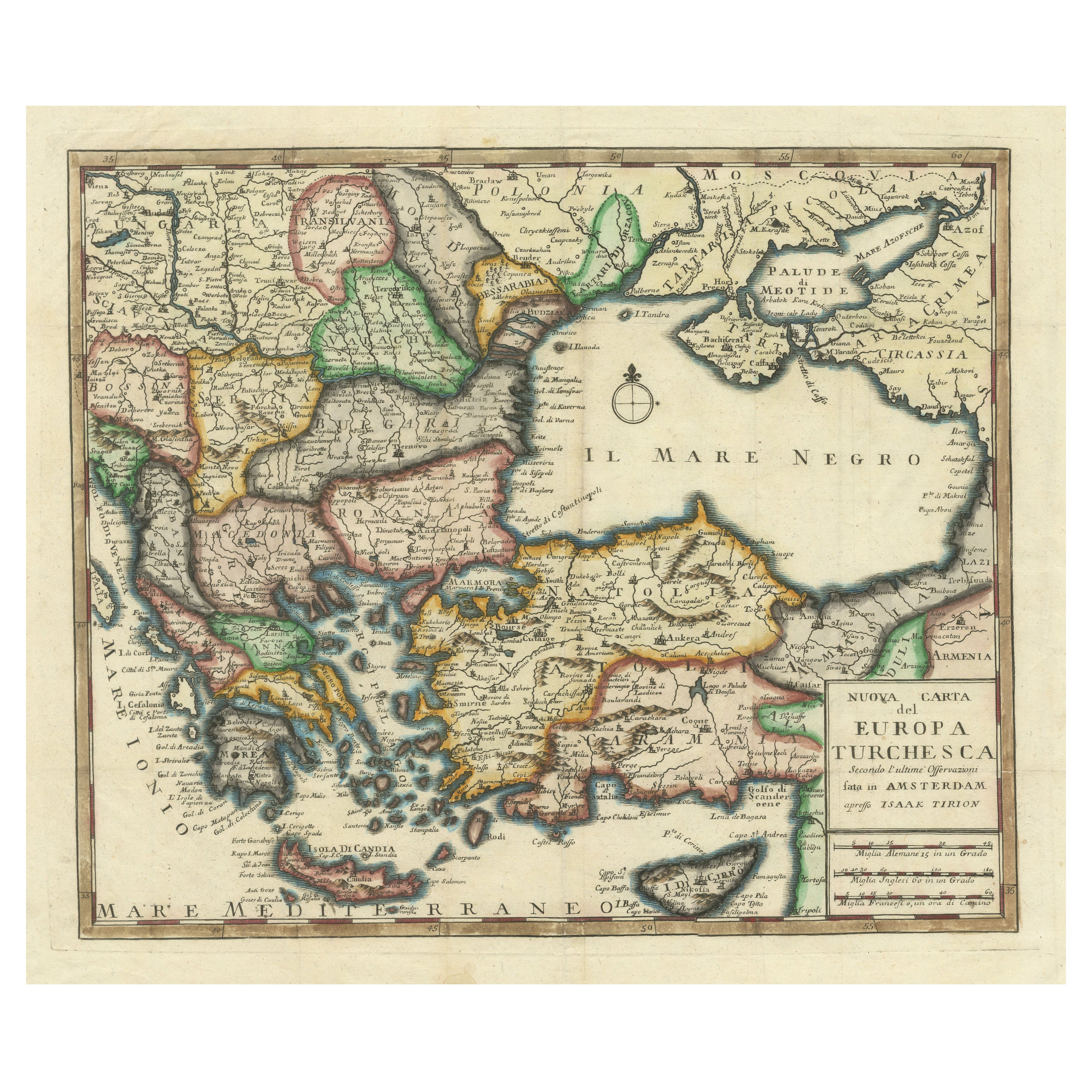
TITLE: Large Map of the Habsburg–Ottoman War, Hungary & Balkans, 1729 DESCRIPTION: Large and exceptionally detailed original copper-engraved map showing Hungary and the surrounding territories during the wars between the Habsburg Empire and the Ottoman Empire. Entitled “Theatre de la Guerre en Hongrie entre les Imperiaux & les Turcs,” the map covers an extensive area of Central and Southeastern Europe, including Hungary, Transylvania, Croatia, Dalmatia, Bosnia, Serbia, Wallachia and Moldavia, extending from the Habsburg lands toward the Black Sea and south to the northern Greek and Aegean regions. The map is densely engraved with cities, towns, rivers, mountain ranges, roads and political territories. At lower left is an impressive figurative Baroque title cartouche decorated with military and allegorical figures, emphasizing the map's subject as a theatre of war between Christian Imperial and Ottoman forces. Originally designed by Dutch cartographer Gerrit van Schagen, this example is from the 1729 edition associated with Dumont and Rousset's history of the military campaigns of Prince Eugene of Savoy. Printed from two copper plates, the large format and wealth of geographical information make this both an important historical document and a highly decorative example of early 18th-century European cartography. ORIGINAL TITLE: “Theatre de la Guerre en Hongrie entre les Imperiaux & les Turcs” CARTOGRAPHER: Gerrit van Schagen (c. 1642–1724) PUBLICATION: Dumont & Rousset, Histoire militaire du Prince Eugène de Savoye DATE: 1729 ORIGIN: Netherlands / European publication MEDIUM: Original copper engraving on paper, printed from two plates SUBJECT: Habsburg–Ottoman Wars Hungary Ottoman Empire Habsburg Empire Balkans Central Europe Southeastern Europe Prince Eugene of Savoy PERIOD / STYLE: Baroque Early 18th century CONDITION: Good antique condition. Original central fold as issued. The sheet shows some localized age-related browning and light toning, together with minor marginal wear and small edge imperfections consistent with an original map nearly 300 years old. The engraved map itself remains strong and highly detailed, with the elaborate figurative cartouche particularly well preserved. Please examine the photographs carefully as they form an integral part of the condition description. FRAMING: Offered unframed. Any framed or interior photographs shown are for presentation and inspiration only. AUTHENTICITY: An original antique copper-engraved map from the 1729 edition. This is an original period impression and not a modern reproduction. KEYWORDS: Gerrit van Schagen, Hungary map, antique Hungary map, Ottoman Empire map, Habsburg Empire, Habsburg Ottoman War, Turkish Wars, Great Turkish War, Prince Eugene of Savoy, Balkans map, Transylvania map, Croatia map, Serbia map, Bosnia map, Wallachia, Moldavia, Black Sea, Central Europe map, Southeastern Europe, 1729 map, Baroque map, military map, theatre of war, copper engraving, antique cartography, historical map, Ottoman history, European history, original antique map
  • Dimensions:
    Height: 22.25 in (56.5 cm)Width: 25.99 in (66 cm)Depth: 0.01 in (0.2 mm)
  • Style:
    Baroque (Of the Period)
  • Materials and Techniques:
    Paper,Engraved
  • Place of Origin:
  • Period:
  • Date of Manufacture:
    1729
  • Condition:
    Wear consistent with age and use. Good antique condition. Original central fold as issued. The sheet shows some localized age-related browning and light toning, together with minor marginal wear and small edge imperfections consistent with an original map nearly 300 years old.
  • Seller Location:
    Langweer, NL
  • Reference Number:
    Seller: BG-143501stDibs: LU3054351505092

More From This Seller

View All
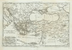
Antique Map of the Ottoman Empire, Turkey, Balkans & Middle East, Bonne, c.1780

Antique Map of the Ottoman Empire, Turkey, Balkans & Middle East, Bonne, c.1780

Located in Langweer, NL

Antique Map Ottoman Empire Turkey Balkans Middle East Bonne c1780 A finely engraved 18th-century map of the Ottoman Empire, titled La Turquie d’Europe et celle d’Asie, created by th...

Category

Antique Late 18th Century French Maps

Materials

Paper

Antique Map of the Ottoman Empire by Matthäus Seutter, c. 1740

Antique Map of the Ottoman Empire by Matthäus Seutter, c. 1740

Located in Langweer, NL

Antique Map of the Ottoman Empire by Matthäus Seutter, c. 1740 An impressive and highly decorative 18th-century map of the Ottoman Empire by the celebrated German cartographer and p...

Category

Antique 1740s German Baroque Maps

Materials

Paper

18th-Century Map of the Eastern Roman Empire by Henri Chatelain, c. 1719

18th-Century Map of the Eastern Roman Empire by Henri Chatelain, c. 1719

Located in Langweer, NL

Title: 18th-Century Map of the Eastern Roman Empire by Henri Chatelain, c. 1719 Description: This intricately detailed map, titled *Nouvelle Carte pour Servir à l'Histoire de l'Empi...

Category

Antique 1710s Maps

Materials

Paper

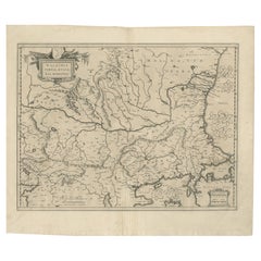
17th Century Blaeu Map – Ottoman Balkans: Walachia, Bulgaria, Romania, ca. 1650

17th Century Blaeu Map – Ottoman Balkans: Walachia, Bulgaria, Romania, ca. 1650

Located in Langweer, NL

Blaeu Map of Walachia, Servia, Bulgaria, Romania, circa 1640 This is an original antique map titled “Walachia, Servia, Bulgaria, Romania,” published by Joan Blaeu in Amsterdam betwe...

Category

Antique 17th Century Dutch Maps

Materials

Paper

Ottoman Empire in Europe – Antique Map by Reilly, Vienna, 1796

Ottoman Empire in Europe – Antique Map by Reilly, Vienna, 1796

Located in Langweer, NL

Map of the Ottoman Empire in Europe – Reilly, Vienna circa 1794-1796 This large original antique map, titled “Karte von dem Oschmanischen Reiche in Europa,” was published between 17...

Category

Antique Late 18th Century Austrian Maps

Materials

Paper

Antique Map of the Ottoman Empire in Europe and Asia by Bonne, circa 1780

Antique Map of the Ottoman Empire in Europe and Asia by Bonne, circa 1780

By Rigobert Bonne

Located in Langweer, NL

This antique map of the Ottoman Empire, titled La Turquie d'Europe et celle d'Asie hors la partie située dans l'Arabie, was made by Rigobert Bonne for the atlas accompanying the Abbé...

Category

Antique Late 18th Century Swiss Maps

Materials

Paper

You May Also Like

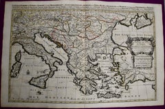
Southern & Eastern Europe: A Large 17th C. Hand-colored Map by Sanson & Jaillot

Southern & Eastern Europe: A Large 17th C. Hand-colored Map by Sanson & Jaillot

By Nicholas Sanson d'Abbeville

Located in Alamo, CA

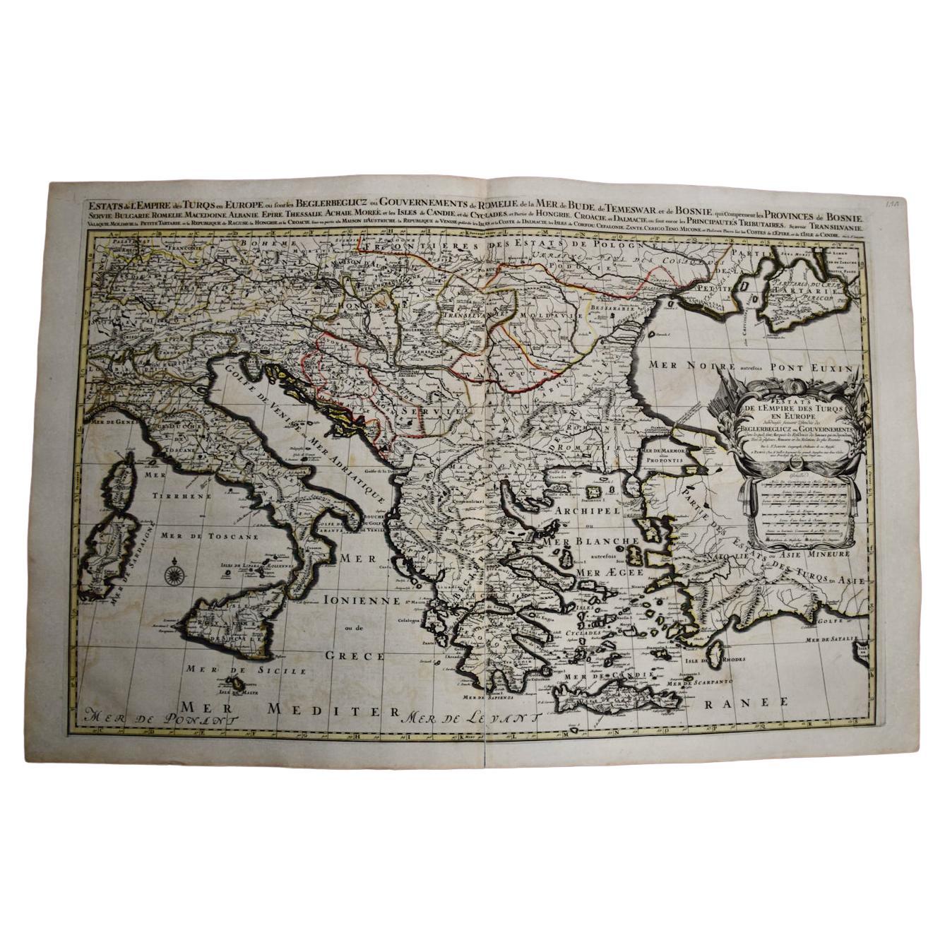
This large hand-colored map entitled "Estats de L'Empire des Turqs en Europe, ou sont les Beglerbeglicz our Gouvernements" was originally created by Nicholas Sanson d'Abbeville and this version was published by Hubert Jaillot in "Atlas Nouveau" in Paris in 1692. It depicts the territories of the Ottoman Empire in Europe, predominantly Eastern Europe. Highlights include, the Mediterranean Sea, the Adriatic Sea, the Black Sea, the Dalmation Coast including present day Croatia, Bosnia and Herzegovina, Montenegro, Serbia, Slovenia, Italy, Greece, North Macedonia, Turkey, Romania, Hungary, Albania, Kosovo, Bulgaria, Transylvania, Moldova and southern portions of France, Switzerland, Germany, and Poland.. The map consists of two sheets joined as one along a vertical joint. The map has original hand-coloring. It is printed on antique hand-made laid, chain-linked paper with wide margins. The sheet measures 24.88" high and 38" wide. There is a central vertical joint, as issued. The map is in very good condition. Nicholas Sanson d'Abbeville (1600-1667) was one of the greatest French cartographather of French cartography. Sanson opened his first printing business in Paris in 1638. The king recognized his skill and knowledge and made him the official geographer to the court. He eventually served two kings in this capacity. Sanson was succeeded by his sons and son...

Category

1690s Landscape Prints
Materials

Engraving

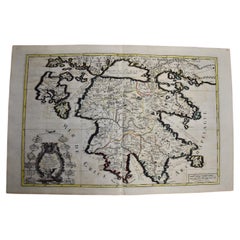
Southern Greece: A Large 17th C. Hand-colored Map by Sanson and Jaillot

Southern Greece: A Large 17th C. Hand-colored Map by Sanson and Jaillot

By Nicolas Sanson

Located in Alamo, CA

This large original hand-colored copperplate engraved map of southern Greece and the Pelopponese Peninsula entitled "La Moree Et Les Isles De Zante, Cefalonie, Ste. Marie, Cerigo & C...

Category

Antique 1690s French Maps

Materials

Paper

Hand-Colored 18th Century Homann Map of the Black Sea, Turkey and Asia Minor

Hand-Colored 18th Century Homann Map of the Black Sea, Turkey and Asia Minor

By Johann Baptist Homann

Located in Alamo, CA

An attractive original early 18th century hand-colored map of the Black Sea and Turkey entitled "Carte de L'Asie Minevre ou de la Natolie et du Pont Evxin Tiree des Voyages et des Ob...

Category

Antique Early 18th Century German Maps

Materials

Paper

1718 Ides & Witsen Map "Route D'amsterdam a Moscow Et De La Ispahan Et Gamron

1718 Ides & Witsen Map "Route D'amsterdam a Moscow Et De La Ispahan Et Gamron

Located in Norton, MA

1718 Ides & Witsen map, entitled "Route D'Amsterdam A Moscow Et De La Ispahan Et Gamron," Ric.b005 Subject: Eastern Europe and Central Asia Period: 1718 (published) Publi...

Category

Antique Early 18th Century Dutch Maps

Materials

Paper