1 of 2

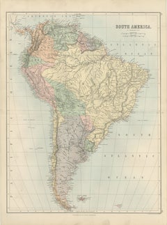
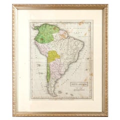
Large Late 1800's Raised Relief Map Of South America

$1,250List Price

You May Also Like

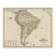
Antique Map of South America with Many Details, ca.1859

Antique Map of South America with Many Details, ca.1859

Located in Langweer, NL

Original antique map titled 'Süd-America'. Beautiful old map of South America, with many details and legend. This map originates from Stielers Handatlas, published circa 1859. St...

Category

Antique Mid-19th Century Maps

Materials

Paper

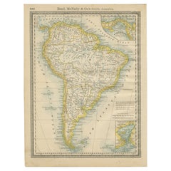
Antique South America Map Wall Art – Brazil, Andes & Amazon, Rand McNally, 1888

Antique South America Map Wall Art – Brazil, Andes & Amazon, Rand McNally, 1888

Located in Langweer, NL

Title: Antique South America Map Wall Art – Brazil, Andes & Amazon, Rand McNally Description: This original antique atlas map presents the full continent of South America in richly ...

Category

Antique Late 19th Century American Maps

Materials

Paper

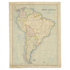
Antique Map of South America by Philip & Son, 1875

Antique Map of South America by Philip & Son, 1875

Located in Langweer, NL

Antique map titled 'South America'. Old map of South America. Source unknown, to be determined. Artists and Engravers: George Philip (1800–1882) was a cartographer, map publisher...

Category

Antique 19th Century Maps

Materials

Paper

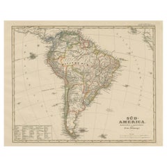
Historic 1858 Map of South America – Pre-Border Consolidation

Historic 1858 Map of South America – Pre-Border Consolidation

Located in Langweer, NL

Antique Map of South America – Stülpnagel Engraving Published by Perthes, 1858 Detailed 19th-century engraved map titled "Süd-America", designed and drawn by F. von Stülpnagel and p...

Category

Antique Mid-19th Century German Maps

Materials

Paper

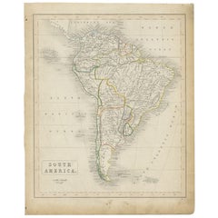
Antique Map of South America, c.1840

Antique Map of South America, c.1840

$82

H 13.59 in W 10.83 in D 0 in

Antique Map of South America, c.1840

Located in Langweer, NL

Antique map titled 'South America'. Original, antique map depicting South America. With outline coloring. Source unknown, to be determined. Artists and Engravers: Anonymous. Artist:...

Category

Antique 19th Century Maps

Materials

Paper

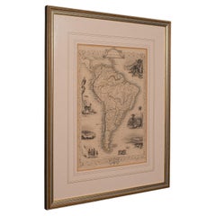
Antique Lithography Map, South America, English, Framed, Cartography, Victorian

Antique Lithography Map, South America, English, Framed, Cartography, Victorian

$675Sale Price|20% Off

H 21.86 in W 17.13 in D 0.79 in

Antique Lithography Map, South America, English, Framed, Cartography, Victorian

Located in Hele, Devon, GB

This is an antique lithography map of South America. An English, framed atlas engraving of cartographic interest by John Rapkin , dating to the early Victorian period and later, circ...

Category

Antique Mid-19th Century British Early Victorian Maps

Materials

Wood

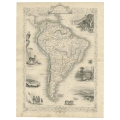
Ornate 1850s Map of South America: A Masterpiece of Exploration & Art by Rapkin

Ornate 1850s Map of South America: A Masterpiece of Exploration & Art by Rapkin

Located in Langweer, NL

Decorative 19th-Century Map of South America by J. Rapkin, Published by J & F Tallis Description: This beautifully detailed map of South America, drawn and engraved by J. Rapkin a...

Category

Antique 1850s Maps

Materials

Paper

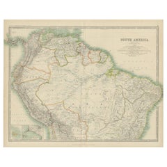
Exploring South America's North: Antique Map from the Royal Atlas of 1909

Exploring South America's North: Antique Map from the Royal Atlas of 1909

Located in Langweer, NL

The antique map titled 'South America, Northern Sheet' is a historical cartographic representation of the northern part of South America. This original antique map features inset map...

Category

Early 20th Century Maps

Materials

Paper

Antique South America Map, Brazil, Argentina, Chile, Bartholomew, 1884

Antique South America Map, Brazil, Argentina, Chile, Bartholomew, 1884

Located in Langweer, NL

Title: Antique South America Map, Brazil, Argentina, Chile, Bartholomew 1884 This attractive antique map of South America was produced under the direction of the renowned Scottish c...

Category

Antique Late 19th Century Scottish Maps

Materials

Paper