Video Loading
Want more images or videos?
Request additional images or videos from the seller.

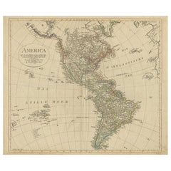
Large Antique Map of North & South America by Weiland, 1826

$614.95
£464.72
€545VAT Included
CA$876.77
A$903.88
CHF 513.58
MX$11,441.48
NOK 5,881.18
SEK 6,161.27
DKK 4,155.69

About the Item

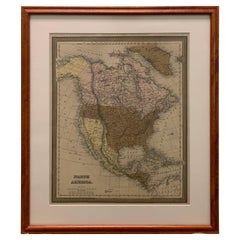
Large Antique Map of North & South America by C. F. Weiland, 1826 DESCRIPTION: Large and highly detailed original hand-colored copper engraving map of North and South America, designed and drawn by the German cartographer Carl Ferdinand Weiland and published in Weimar in 1826. Entitled “America entworfen und gezeichnet von C. F. Weiland,” the map presents virtually the entire Western Hemisphere, extending from the Arctic regions and Greenland through Canada, the United States, Mexico and Central America to the Caribbean and the southern tip of South America. The different countries, colonies and political territories are distinguished by attractive period hand coloring. A color key in the lower-left corner identifies the principal colonial and political possessions, while finely engraved coastlines, mountain ranges, rivers, settlements and geographical names provide an exceptionally detailed picture of the Americas during the first decades of the 19th century. Published during a period of profound political change, the map reflects the evolving geography of the Americas following the independence movements that transformed much of Central and South America during the early 19th century. The United States, Mexico, Brazil and the emerging South American states are shown alongside territories that remained under European control. The composition is particularly attractive, with North and South America forming a strong vertical axis through the center of the sheet. Greenland, the Caribbean islands and portions of the Pacific and Atlantic oceans are also represented. An elegant repeating Neoclassical ornamental border surrounds the map. With its substantial dimensions of 73 × 59 cm, attractive historical coloring and broad geographical coverage, this is an impressive example of early 19th-century German cartography. ORIGINAL TITLE “America entworfen und gezeichnet von C. F. Weiland” CARTOGRAPHER: Carl Ferdinand Weiland (1782–1847) PUBLISHER: Geographisches Institut, Weimar DATE: 1826 PLACE OF PUBLICATION: Weimar, Germany MEDIUM: Original hand-colored copper engraving on paper DIMENSIONS: 73 × 59 cm Approximately 28.7 × 23.2 inches GEOGRAPHICAL COVERAGE: North America Canada United States Mexico Central America Caribbean South America Greenland Atlantic Ocean Pacific Ocean PERIOD / STYLE: Early 19th century Neoclassical Biedermeier period CONDITION: Fair antique condition. The sheet shows considerable age-related wear and handling. The paper is wrinkled and uneven, particularly throughout the broad margins outside the engraved image area. There are numerous creases and handling marks, together with some marginal tears, light browning, scattered spotting and staining. The margins are noticeably more affected than the actual printed map. Despite the overall wrinkling and age-related imperfections, the engraved image remains substantially complete and legible, and the attractive period coloring is well preserved. The condition has intentionally not been restored or disguised and reflects the history of this nearly 200-year-old map. Please examine all photographs carefully, as they form an integral part of the condition description. FRAMING: Offered unframed. Any framed or interior photographs shown are for presentation and inspiration only. AUTHENTICITY: An original antique hand-colored copper engraving map published in Weimar in 1826. This is not a modern reproduction. KEYWORDS: Carl Ferdinand Weiland, C F Weiland, America map, map of the Americas, antique map America, North America map, South America map, United States map, Canada map, Mexico map, Central America map, Caribbean map, Brazil map, Greenland map, 1826 map, Weimar map, Geographisches Institut Weimar, German cartography, hand-colored map, copper engraving, early 19th century map, Neoclassical map, Biedermeier, historical cartography, Latin America independence, antique Americana, Western Hemisphere map, original antique map, large antique map
  • Dimensions:
    Height: 28.75 in (73 cm)Width: 23.23 in (59 cm)Depth: 0.01 in (0.2 mm)
  • Style:
    Neoclassical (Of the Period)
  • Materials and Techniques:
    Paper,Engraved
  • Place of Origin:
  • Period:
  • Date of Manufacture:
    1826
  • Condition:
    Wear consistent with age and use. Fair with considerable age-related wear and handling. The paper is wrinkled and uneven, particularly throughout the broad margins outside the engraved image area. There are numerous creases and handling marks, some marginal tears, light browning.
  • Seller Location:
    Langweer, NL
  • Reference Number:
    Seller: BG-14345-21stDibs: LU3054351497932

More From This Seller

View All
Antique Map of North and South America by Schneider and Weigel, 1818

Antique Map of North and South America by Schneider and Weigel, 1818

Located in Langweer, NL

Antique map titled 'America nach Arrowsmiths Weltcharte und dessen Globular Projection (..)'. Map of North and South America. Published by Schneider and Weigel, 1818.

Category

Antique Early 19th Century German Maps

Materials

Paper

Decorative Dutch Antique Map of North and South America, 1841

Decorative Dutch Antique Map of North and South America, 1841

Located in Langweer, NL

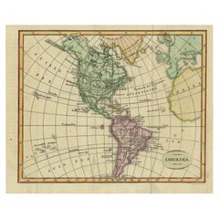
Description: Antique map titled 'Amerika'. Small map of North and South America. This map originates from the Dutch publication 'De Aarde, beschouwd in haren Natuurlijken Toestan...

Category

Antique 1840s Maps

Materials

Paper

Antique Map of North and South America by Walker, 1828

Antique Map of North and South America by Walker, 1828

Located in Langweer, NL

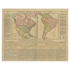
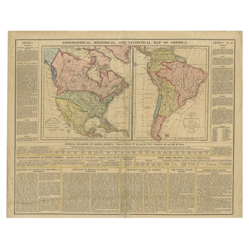
Antique map titled 'Geographical, Historical and Statistical Map of America'. Two maps on one sheet depicting North and South America. Text provides a lot of information about the Am...

Category

Antique 19th Century Maps

Materials

Paper

Antique Map of North and South America by Pierre Antoine Tardieu (1784-1869)

Antique Map of North and South America by Pierre Antoine Tardieu (1784-1869)

Located in Langweer, NL

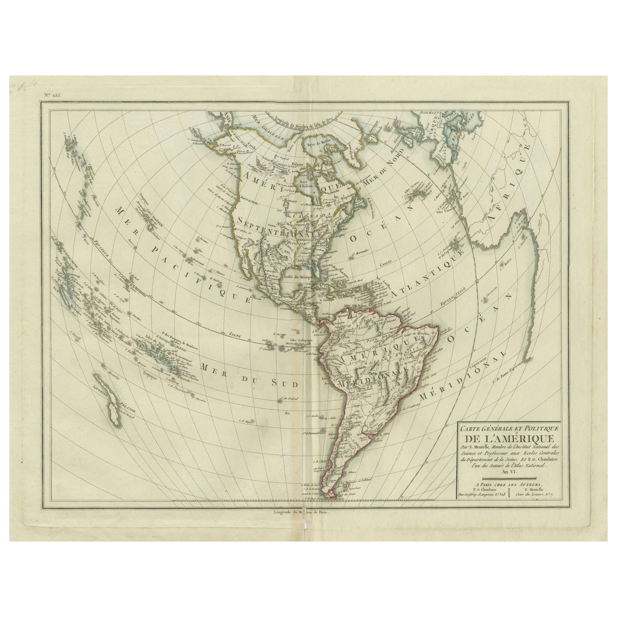
This is an original antique map titled "Carte Générale et Politique de l'Amérique," depicting the political and geographical features of North and South America. This map, created by Pierre Antoine Tardieu, illustrates the continent's boundaries, major regions, and significant features as understood in the early 19th century. Map Details: - **Title**: Carte Générale et Politique de l'Amérique - **Creator**: Pierre Antoine Tardieu (1784-1869) - **Publication Date**: Early 19th century - **Dimensions**: Approximately 34.5 x 43.5 cm (13.5 x 17.25 inches) - **Features**: The map includes detailed representations of North and South America, highlighting political boundaries, major cities, rivers, and mountain ranges. The title cartouche is located in the lower right corner, and the outlines are hand-colored to distinguish different regions and countries. Condition Overview: 1. Paper Quality: The paper shows typical signs of aging, such as slight yellowing, but remains in good condition without major tears or damage. 2. Edges and Corners: The edges are slightly worn, with minor fraying and small tears, particularly near the center fold. These imperfections do not significantly impact the overall readability or aesthetic value. 3. Center Fold: A center fold is present, which is common for maps of this period that were often folded for storage or publication. The fold appears intact without significant separation or damage, except for a small split at the lower end. 4. Color and Print Quality: The hand-colored outlines remain vibrant and clear, highlighting the borders of different regions. The print quality is excellent, with sharp, legible text and detailed illustrations. 5. Staining and Spots: There are a few spots and stains, particularly near the edges and along the fold. These do not obscure any critical details of the map. Historical Context Around the year 1800, the Americas were a region of significant political change and exploration. Here’s an overview of the region during that period: Political Landscape 1. North America: - United States: The United States was a young nation, having gained independence from Great Britain in 1776. The early 19th century was a period of westward expansion and the establishment of new states. - Canada: Canada was divided into British colonies, including Upper Canada (Ontario) and Lower Canada (Quebec). The British maintained control over these territories following the American Revolution. - Mexico: Mexico was part of the Spanish Empire, known as New Spain. It would gain independence from Spain in 1821. 2. Central and South America: - Spanish Colonies: Much of Central and South America was under Spanish colonial rule. Significant regions included New Granada (Colombia), Peru, and the Viceroyalty of the Rio de la Plata (Argentina). - Portuguese Brazil: Brazil was a Portuguese colony and the largest territory in South America. It would gain independence from Portugal in 1822. - Independence Movements: The early 19th century was marked by independence movements across Latin America, led by figures such as Simón Bolívar and José de San Martín, which resulted in the creation of new nations. 3. Caribbean: - The Caribbean islands were controlled by various European powers, including Spain, France, Great Britain, and the Netherlands. These islands were significant for their sugar plantations and as hubs of the Atlantic slave trade. Socio-Economic Conditions 1. Trade and Commerce: - The Americas were integral to global trade, exporting commodities such as sugar, tobacco, cotton, and coffee. The port cities of Havana, Veracruz, and Buenos Aires were crucial trade...

Category

Antique Early 1800s Maps
Materials

Paper

Antique Map of South America by Wyld, circa 1850

Antique Map of South America by Wyld, circa 1850

By J. Wyld

Located in Langweer, NL

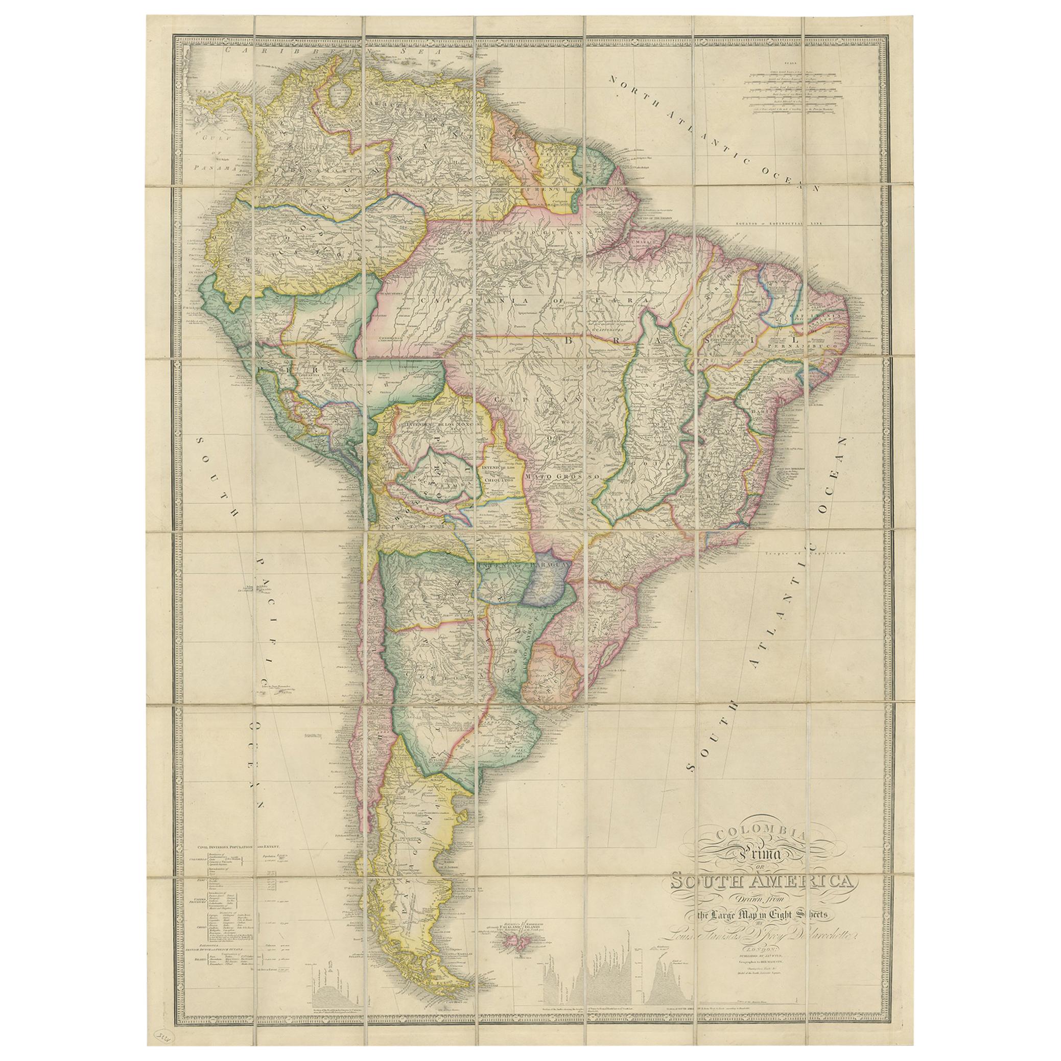
Beautiful folding map of South America titled 'Colombia Prima or South America Drawn from the Large Map in Eight Sheets by Louis Stanislas D ' Arcy Delarochette'. Three insets in the...

Category

Antique Mid-19th Century British Maps

Materials

Paper

You May Also Like

Original Antique Map of The Western Hemisphere by Dower, circa 1835

Original Antique Map of The Western Hemisphere by Dower, circa 1835

Located in St Annes, Lancashire

Nice map of the Western Hemisphere Drawn and engraved by J.Dower Published by Orr & Smith. C.1835 Unframed. Free shipping

Category

Antique 1830s English Maps

Materials

Paper

North & South America: A 17th Century Hand-colored Map by Jansson & Goos

North & South America: A 17th Century Hand-colored Map by Jansson & Goos

By Johannes Janssonius

Located in Alamo, CA

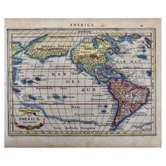
A 17th century hand-colored map of North & South America entitled "Americae Descriptio" by the cartographer Johannes Jansson, published in Jansson's Atlas Minor in Amsterdam in 1628....

Category

Antique 1620s Dutch Maps

Materials

Paper

North and South America: An 18th Century Hand-colored Map by Johann Homann

North and South America: An 18th Century Hand-colored Map by Johann Homann

By Johann Baptist Homann

Located in Alamo, CA

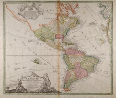
This early 18th century hand-colored copperplate map of North and South America entitled "Totius Americae Septentrionalis Et Meridionalis Novissima Repraesentatio" was created by Johann Baptist Homann and published in Nuremberg, Germany, between 1710 and 1731. The map details cities, forts, mountains, forests and lakes, as well as districts. There is a decorative cartouche in the lower left which depicts a volcano, scenes representing the people in their native costumes, as well as animals and plants of the Americas. A village is seen in the background on the left. A second smaller decorative cartouche in the upper right includes text and a series of allegorical figures. A large portion if the north central and western portions of North America is left without detail, because the region was largely unexplored at the time this map was created. The map also shows "Terra Esonis Incognita", representing a mythical continuous land bridge from North America to Asia, a northwest passage. The map preceded the French and...

Category

Early 18th Century Old Masters Landscape Prints

Materials

Engraving

Original Antique Map of South America. C.1780

Original Antique Map of South America. C.1780

Located in St Annes, Lancashire

Great map of South America Copper-plate engraving Published C.1780 Two small worm holes to left side of map Unframed.

Category

Antique Early 1800s English Georgian Maps

Materials

Paper

Original Antique Map of The World by Dower, circa 1835

Original Antique Map of The World by Dower, circa 1835

Located in St Annes, Lancashire

Nice map of the World Drawn and engraved by J.Dower Published by Orr & Smith. C.1835 Unframed. Free shipping

Category

Antique 1830s English Maps

Materials

Paper

Large 1848 North America & Territories Map

Large 1848 North America & Territories Map

Located in Stamford, CT

Framed 1848 S. Augustus and Mitchell, Philadelphia , PA North America and territories map. Featuring the United States, Canada (British Territory) and Mexican Territories. As found...

Category

Antique 1840s American American Classical Maps

Materials

Glass, Wood, Paper