Want more images or videos?
Request additional images or videos from the seller
1 of 5

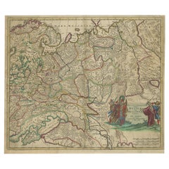
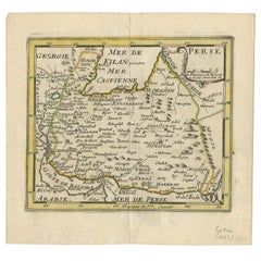
Antique Miniature Map of the Ukraine or 'Petite Tartarie', Published 1682

Price:$200
$248.24List Price

You May Also Like

1714 Henri Chatelain "Nouvelle Carte Des Etatas Du Grand.Duc De Mos Moscovie Eur

1714 Henri Chatelain "Nouvelle Carte Des Etatas Du Grand.Duc De Mos Moscovie Eur

Located in Norton, MA

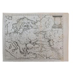
A 1714 Henri Chatelain map, entitled "Nouvelle Carte Des Etatas Du Grand Duc De Moscovie En Europe," Ricb001 Henri Abraham Chatelain (1684-1743) was a Huguenot pastor of Parisi...

Category

Antique Early 18th Century Dutch Maps

Materials

Paper

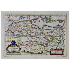
"Nova Barbariae Descriptio", a 17th Century Hand-Colored Map of North Africa

"Nova Barbariae Descriptio", a 17th Century Hand-Colored Map of North Africa

By Johannes Janssonius

Located in Alamo, CA

This original attractive 17th century hand-colored map of North Africa entitled "Nova Barbariae Descriptio" by Johannes Janssonius was published in Paris in 1635. It includes the Med...

Category

Antique Mid-17th Century Dutch Maps

Materials

Paper

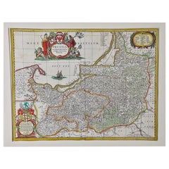
Prussia, Poland, N. Germany, Etc: A Hand-colored 17th Century Map by Janssonius

Prussia, Poland, N. Germany, Etc: A Hand-colored 17th Century Map by Janssonius

By Johannes Janssonius

Located in Alamo, CA

This is an attractive hand-colored copperplate engraved 17th century map of Prussia entitled "Prussia Accurate Descripta a Gasparo Henneberg Erlichensi", published in Amsterdam by Joannes Janssonius in 1664. This very detailed map from the golden age of Dutch cartography includes present-day Poland, Latvia, Lithuania, Estonia and portions of Germany. This highly detailed map is embellished by three ornate pink, red, mint green and gold...

Category

Antique Mid-17th Century Dutch Maps

Materials

Paper

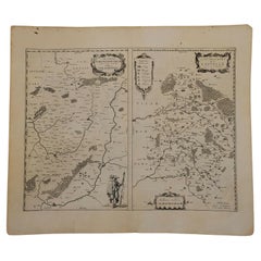
1657 Janssonius Map of Vermandois and Cappelle, Ric. A-004

1657 Janssonius Map of Vermandois and Cappelle, Ric. A-004

Located in Norton, MA

1657 Janssonius map of Vermandois and Cappelle Ric.a004 Description: Antique map of France titled 'Descriptio Veromanduorum - Gouvernement de la Cappelle'. Two detailed maps o...

Category

Antique 17th Century Unknown Maps

Materials

Paper

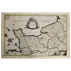
The Normandy Region of France: A 17th C. Hand-colored Map by Sanson and Jaillot

The Normandy Region of France: A 17th C. Hand-colored Map by Sanson and Jaillot

By Nicolas Sanson

Located in Alamo, CA

This large hand-colored map entitled "Le Duché et Gouvernement de Normandie divisée en Haute et Basse Normandie en divers Pays; et par evêchez, avec le Gouvernement General du Havre ...

Category

Antique 1690s French Maps

Materials

Paper

Southern & Eastern Europe: A Large 17th C. Hand-colored Map by Sanson & Jaillot

Southern & Eastern Europe: A Large 17th C. Hand-colored Map by Sanson & Jaillot

By Nicolas Sanson

Located in Alamo, CA

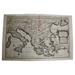
This large hand-colored map entitled "Estats de L'Empire des Turqs en Europe, ou sont les Beglerbeglicz our Gouvernements" was originally created by Nicholas Sanson d'Abbeville and t...

Category

Antique 1690s French Maps

Materials

Paper

1718 Ides & Witsen Map "Route D'amsterdam a Moscow Et De La Ispahan Et Gamron

1718 Ides & Witsen Map "Route D'amsterdam a Moscow Et De La Ispahan Et Gamron

Located in Norton, MA

1718 Ides & Witsen map, entitled "Route D'Amsterdam A Moscow Et De La Ispahan Et Gamron," Ric.b005 Subject: Eastern Europe and Central Asia Period: 1718 (published) Publi...

Category

Antique Early 18th Century Dutch Maps

Materials

Paper

Antique French Map of Asia Including China Indoneseia India, 1783

Antique French Map of Asia Including China Indoneseia India, 1783

Located in Amsterdam, Noord Holland

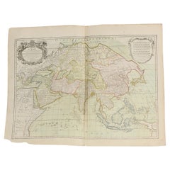
Very nice map of Asia. 1783 Dedie au Roy. Additional information: Country of Manufacturing: Europe Period: 18th century Qing (1661 - 1912) Condition: Overall Condition B (Good Used)...

Category

Antique 18th Century European Maps

Materials

Paper

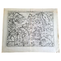
1633 Map Entitled "Beauvaisis Comitatus Belova Cium, Ric.0002

1633 Map Entitled "Beauvaisis Comitatus Belova Cium, Ric.0002

$1,500 / set

H 18.9 in W 22.45 in D 0.4 in

1633 Map Entitled "Beauvaisis Comitatus Belova Cium, Ric.0002

Located in Norton, MA

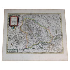
1633 map entitled "Beauvaisis Comitatus Belova Cium," Hand Colored Ric.0002 Description: Cartographer : - Hondius, Henricus 1587-1638 Artists and Engravers:Jodocus Hondius, one of the most notable engravers of his time. He is known for his work in association with many of the cartographers and publishers prominent at the end of the sixteenth and the beginning of the seventeenth century. A native of Flanders, he grew up in Ghent, apprenticed as an instrument and globe maker and map engraver. In 1584, to escape the religious troubles sweeping the Low Countries at that time, he fled to London where he spent some years before finally settling in Amsterdam about 1593. In the London period he came into contact with the leading scientists and geographers of the day and engraved maps in The Mariner\\\\\\\\\\\\\\\'s Mirrour, the English edition of Waghenaer\\\\\\\\\\\\\\\'s Sea Atlas, as well as others with Pieter van den Keere, his brother-in-law. No doubt his temporary exile in London stood him in good stead, earning him an international reputation, for it could have been no accident that Speed chose Hondius to engrave the plates for the maps in The Theatre of the Empire of Great Britaine in the years between 1605 and 1610. In 1604 Hondius bought the plates of Mercator\\\\\\\\\\\\\\\'s Atlas which, in spite of its excellence, had not competed successfully with the continuing demand for the Ortelius Theatrum Orbis Terrarum. To meet this competition Hondius added about 40 maps to Mercator\\\\\\\\\\\\\\\'s original number and from 1606 published enlarged editions in many languages, still under Mercator\\\\\\\\\\\\\\\'s name but with his own name as publisher. These atlases have become known as the Mercator/Hondius series. The following year the maps were reengraved in miniature form and issued as a pocket Atlas Minor. After the death of Jodocus Hondius the Elder in 1612, work on the two atlases, folio and miniature, was carried on by his widow and sons, Jodocus II and Henricus, and eventually in conjunction with Jan Jansson in Amsterdam. In all, from 1606 onwards, nearly 50 editions with increasing numbers of maps with texts in the main European languages were printed. Summaries of these issues are given under the entry for Gerard Mercator. Jodocus Hondius the Elder * 1588 Maps in The Mariner\\\\\\\\\\\\\\\'s Mirrour (Waghenaer/Ashley) * 1590 World Map...

Category

Antique 17th Century Dutch Maps
Materials

Paper

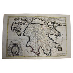
Southern Greece: A Large 17th C. Hand-colored Map by Sanson and Jaillot

Southern Greece: A Large 17th C. Hand-colored Map by Sanson and Jaillot

By Nicolas Sanson

Located in Alamo, CA

This large original hand-colored copperplate engraved map of southern Greece and the Pelopponese Peninsula entitled "La Moree Et Les Isles De Zante, Cefalonie, Ste. Marie, Cerigo & C...

Category

Antique 1690s French Maps

Materials

Paper

More From This Seller

View All
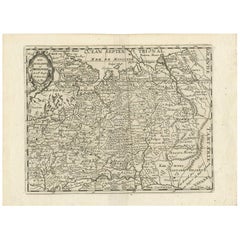
Antique Map of Russia by N. Sanson, 1705

Antique Map of Russia by N. Sanson, 1705

Located in Langweer, NL

A strongly engraved map of European Russia showing its political divisions, major topographical features, cities and towns. Extends to the Sea of Azov and the tip of the Caspian Sea ...

Category

Antique Early 18th Century French Maps

Materials

Paper

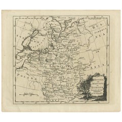
Antique Map of Russia in Europe by T. Kitchin, circa 1770

Antique Map of Russia in Europe by T. Kitchin, circa 1770

Located in Langweer, NL

Antique map titled 'Russia or Moscovy in Europe, drawn from the latest authorities (..)'. An interesting and attractive early 19th century map of Russia in Europe which was engraved ...

Category

Antique Late 18th Century Maps

Materials

Paper

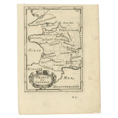
Detailed Antique Miniature Map of France by Mallet, c.1683

Detailed Antique Miniature Map of France by Mallet, c.1683

Located in Langweer, NL

Antique map titled 'France en General'. BG-11796-55. Originates from Mallet's 'Description de l'Univers'. Artists and Engravers: Alain Manneson Mallet (1630-1706) spent the first ...

Category

Antique 17th Century Maps

Materials

Paper

Antique Hand-Colored Map of Western Russia and Ukraine, c.1680

Antique Hand-Colored Map of Western Russia and Ukraine, c.1680

Located in Langweer, NL

Description: Antique map titled 'Novissima et Accuratissima Totius Russiae vulgo Muscoviae Tabula'. Antique map of Western Russia and Ukraine, published by Justus Danckerts. The ma...

Category

Antique 1680s Dutch Maps

Materials

Paper

Rare Small Antique Map of the Persian Empire, 1692

Rare Small Antique Map of the Persian Empire, 1692

Located in Langweer, NL

Antique map titled 'Perse'. Small engraved map of the Persian Empire, decorated with a simple cartouche and armorial shield. This map originates from 'L'Atlas en Abrege, ou Nouvelle ...

Category

Antique 17th Century Maps

Materials

Paper

Rare 17th-Century Map of Dauphiné in Southeastern France by F. De Wit, ca.1688

Rare 17th-Century Map of Dauphiné in Southeastern France by F. De Wit, ca.1688

Located in Langweer, NL

Title: Rare Hand-Colored 17th-Century Map of Dauphiné by Frederik De Wit c. 1688 Description: This captivating 17th-century map of Dauphiné, titled "Nova et Accurata Delphinatus Vul...

Category

Antique 1680s Maps

Materials

Paper