
Want more images or videos?
Request additional images or videos from the seller.

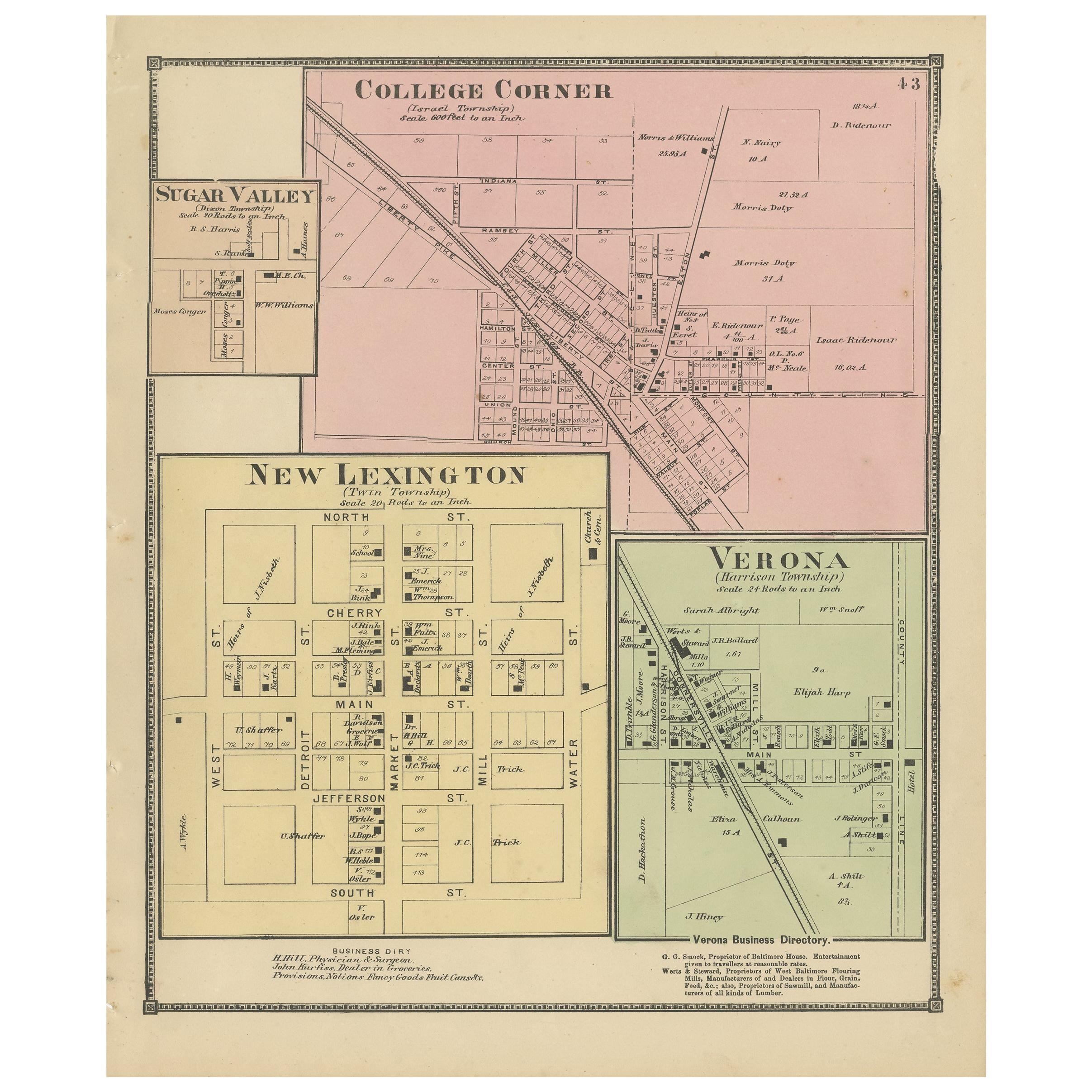
Antique Map of Winchester, Eldorado & Orangeburg, 1871

$282.09
£213.17
€250VAT Included
CA$402.19
A$414.62
CHF 235.59
MX$5,248.38
NOK 2,697.79
SEK 2,826.27
DKK 1,906.28

About the Item

Antique map titled 'Winchester, Eldorado, Orangeburg'. Original antique map of villages and communities of Ohio. This map originates from 'Atlas of Preble County Ohio' by C.O. Titus. Published, 1871.
  • Dimensions:
    Height: 12.41 in (31.5 cm)Width: 14.97 in (38 cm)Depth: 0.02 in (0.5 mm)
  • Materials and Techniques:
  • Period:
  • Date of Manufacture:
    1871
  • Condition:
    Original folding lines. Shows some wear and foxing. General age-related toning. Few small defects in margins. Please study images carefully.
  • Seller Location:
    Langweer, NL
  • Reference Number:
    Seller: BG-11874-41stDibs: LU3054321717002

More From This Seller

View All
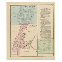
Antique Map of Euphemia, Lewisburg & West Florence, 1871

Antique Map of Euphemia, Lewisburg & West Florence, 1871

Located in Langweer, NL

Antique map titled 'Euphemia, Lewisburg, West Florence'. Original antique map of villages and communities of Ohio. This map originates from 'Atlas of Preble County Ohio' by C.O. Titu...

Category

Antique Late 19th Century Maps

Materials

Paper
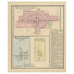
Antique Map of West Alexandria, Manchester & Enterprise, 1871

Antique Map of West Alexandria, Manchester & Enterprise, 1871

Located in Langweer, NL

Antique map titled 'West Alexandria, Manchester, Enterprise'. Original antique map of villages and communities of Ohio. This map originates from 'Atlas of Preble County Ohio' by C.O....

Category

Antique Late 19th Century Maps

Materials

Paper
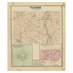
Antique Map of Gasper, Hamburg and West Elkton, 1871

Antique Map of Gasper, Hamburg and West Elkton, 1871

Located in Langweer, NL

Antique map titled 'Gasper, Hamburg, West Elkton'. Original antique map of villages and communities of Ohio. This map originates from 'Atlas of Preble County Ohio' by C.O. Titus. Pub...

Category

Antique Late 19th Century Maps

Materials

Paper
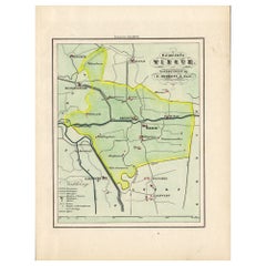
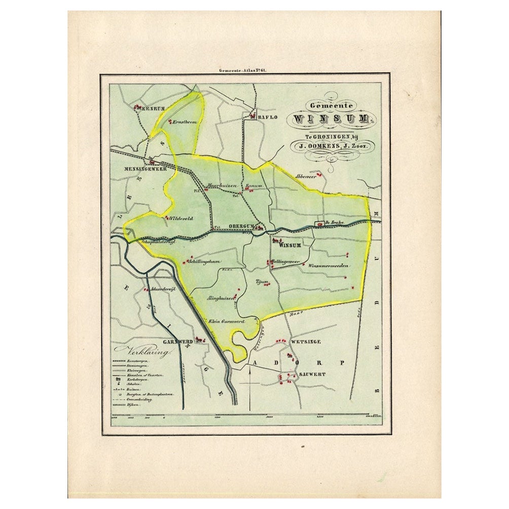
Antique Map of the Township of Winsum, Groningen in The Netherlands, 1862

Antique Map of the Township of Winsum, Groningen in The Netherlands, 1862

Located in Langweer, NL

Groningen: Gemeente Obergum-Winsum. These scarse detailed maps of Dutch Towns originate from the 'Gemeente atlas van de Provincie Groningen in 62 kaarten.' by C. Fehse. This atlas of...

Category

Antique 19th Century Maps

Materials

Paper

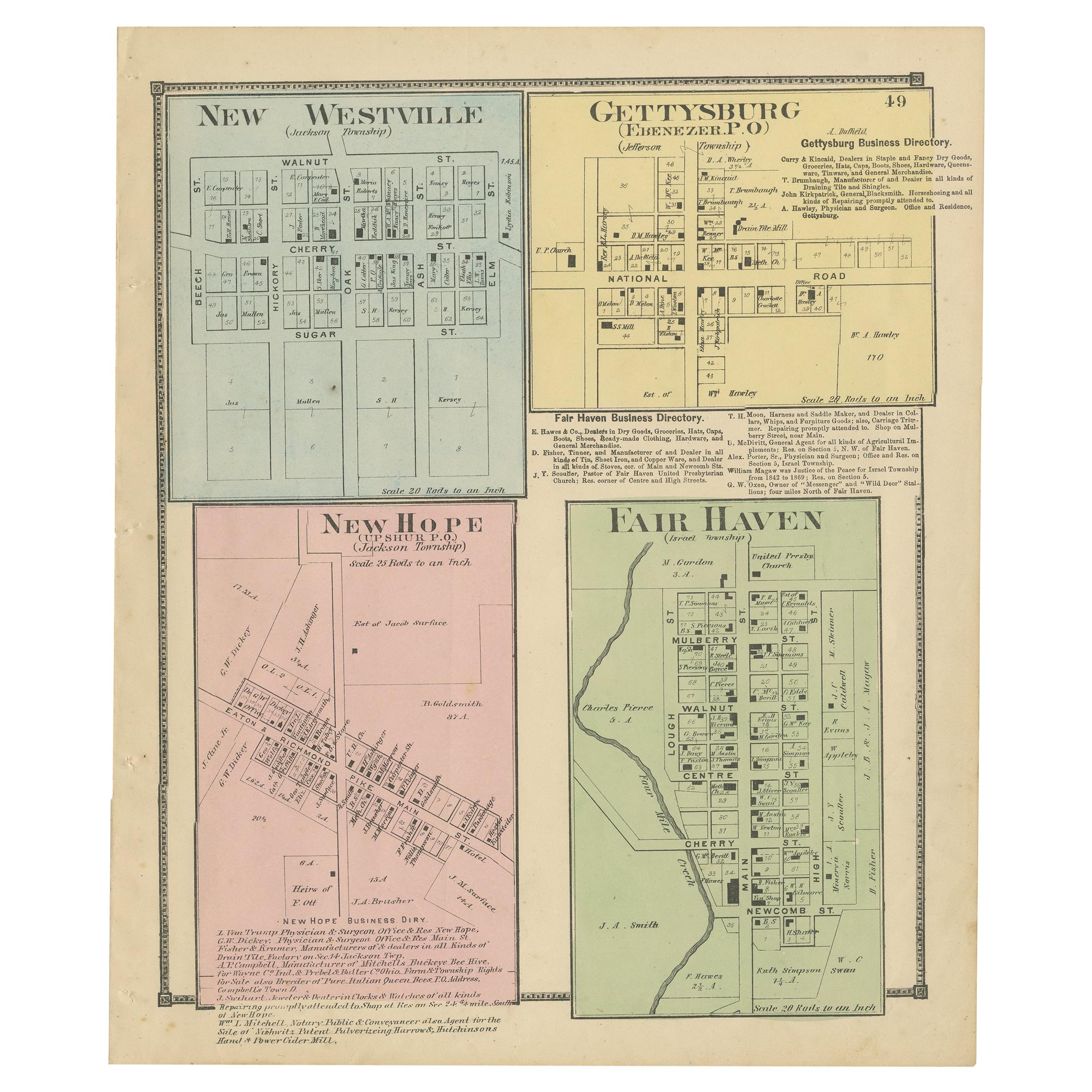
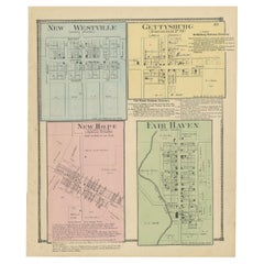
Antique Map of New Westville, Gettysburg, New Hope & Fair Haven, 1871

Antique Map of New Westville, Gettysburg, New Hope & Fair Haven, 1871

Located in Langweer, NL

Antique map titled 'New Westville, Gettysburg, New Hope, Fair Haven'. Original antique map of villages and communities of Ohio. This map originates from 'Atlas of Preble County Ohio'...

Category

Antique Late 19th Century Maps

Materials

Paper
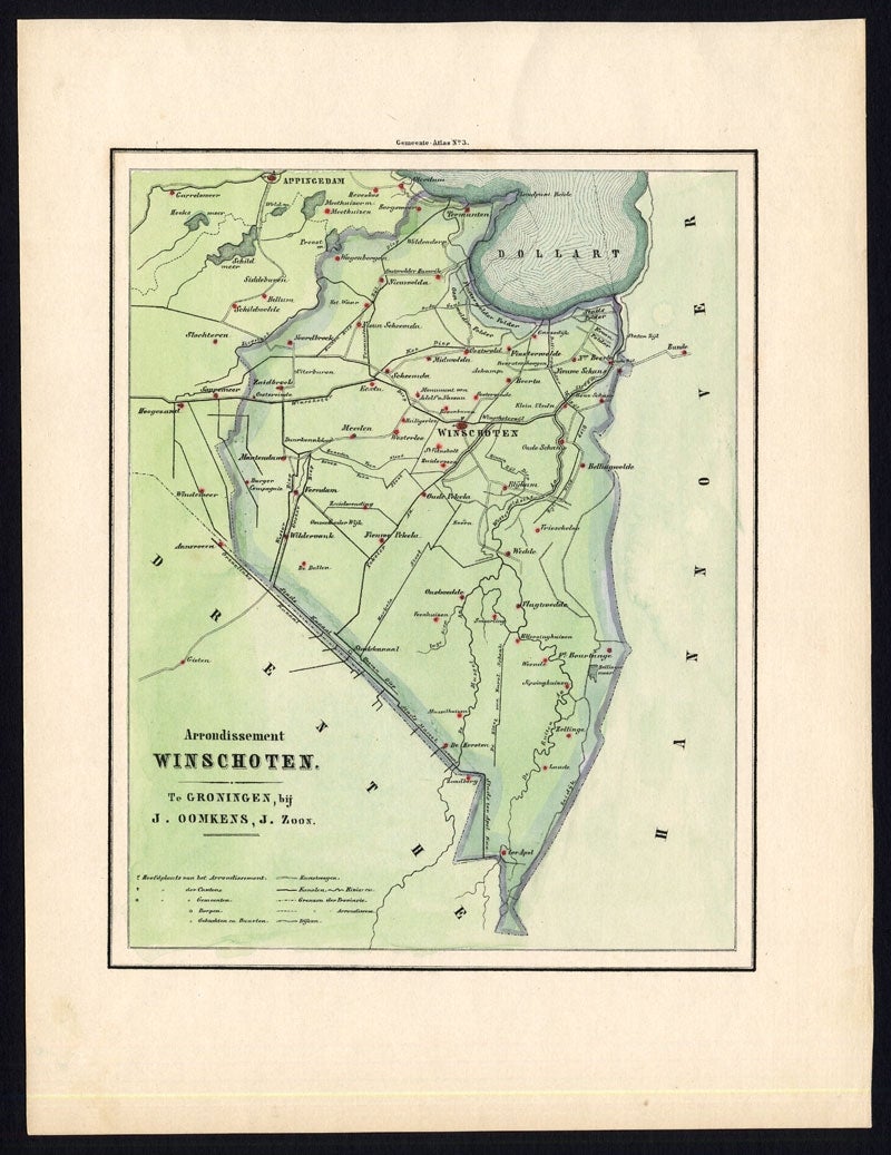
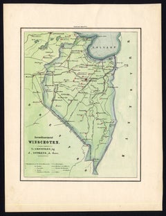
Antique Map of the Region of Winschoten, Groningen in The Netherlands, 1862

Antique Map of the Region of Winschoten, Groningen in The Netherlands, 1862

Located in Langweer, NL

Groningen: Gemeente Arrondisement Winschoten. These scarse detailed maps of Dutch Towns originate from the 'Gemeente atlas van de Provincie Groningen in 62 kaarten.' by C. Fehse. Thi...

Category

Antique 19th Century Maps

Materials

Paper
You May Also Like

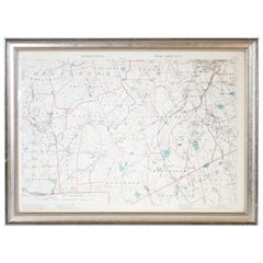
1891 Map of Norfolk County Massachusetts

1891 Map of Norfolk County Massachusetts

Located in Norwell, MA

1891 map of Norfolk county Massachusetts including the towns of Wrentham, Franklin, Medfield, Sherborn, Norwood etc., measures: 23 x 31.

Category

Antique 19th Century Maps

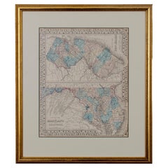
County Map of Maryland, Delaware New Jersey by S. Augustus Mitchell, c. 1874

County Map of Maryland, Delaware New Jersey by S. Augustus Mitchell, c. 1874

Located in Savannah, GA

County Map of Maryland, Delaware New Jersey by S. Augustus Mitchell, c. 1874 Offered is a hand-colored county map of Maryland, Delaware, and New Jersey by S. Augustus Mitchell from ...

Category

Antique 1870s American Maps

Materials

Giltwood, Paper

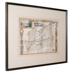
Antique County Map, Surrey, English, Framed Lithograph, Cartography, Victorian

Antique County Map, Surrey, English, Framed Lithograph, Cartography, Victorian

Located in Hele, Devon, GB

This is an antique lithography map of Surrey. An English, framed atlas engraving of cartographic interest, dating to the mid 19th century and later. Superb lithography of Surrey an...

Category

Antique Mid-19th Century British Victorian Maps

Materials

Paper

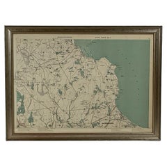
1891 Map of Plymouth County Mass

1891 Map of Plymouth County Mass

Located in Norwell, MA

Original 1891 map showing Sandwich, Bourne, Plymouth Carver, Middleborough, Plympton and Kingston. Showing Long Beach in Plymouth also as well as all shore points. Cape Cod Bay is ma...

Category

Antique 1890s North American Maps

Materials

Paper

Ancient National Atlas of France Print, Engraved, Early 19th Century

Ancient National Atlas of France Print, Engraved, Early 19th Century

Located in Alessandria, Piemonte

Ancient National Atlas of France with the department of Marengo: a rare French etching dated 1806. ST/178.

Category

Antique Early 19th Century French Other Prints

Materials

Paper

1851 Survey Map of Wellesley Island, New York by S.N. Dixon

1851 Survey Map of Wellesley Island, New York by S.N. Dixon

Located in Savannah, GA

A survey map of Wells or Wellesley Island by Sylvester Nathaniel Dixon, completed in 1851. The tract owners are listed in pencil.

Category

Antique 1850s American Maps

Materials

Glass, Wood, Paper