
Want more images or videos?
Request additional images or videos from the seller.

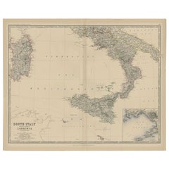
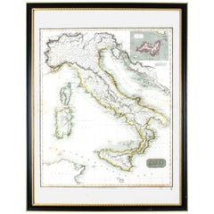
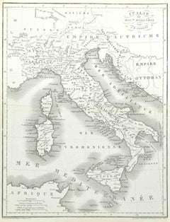
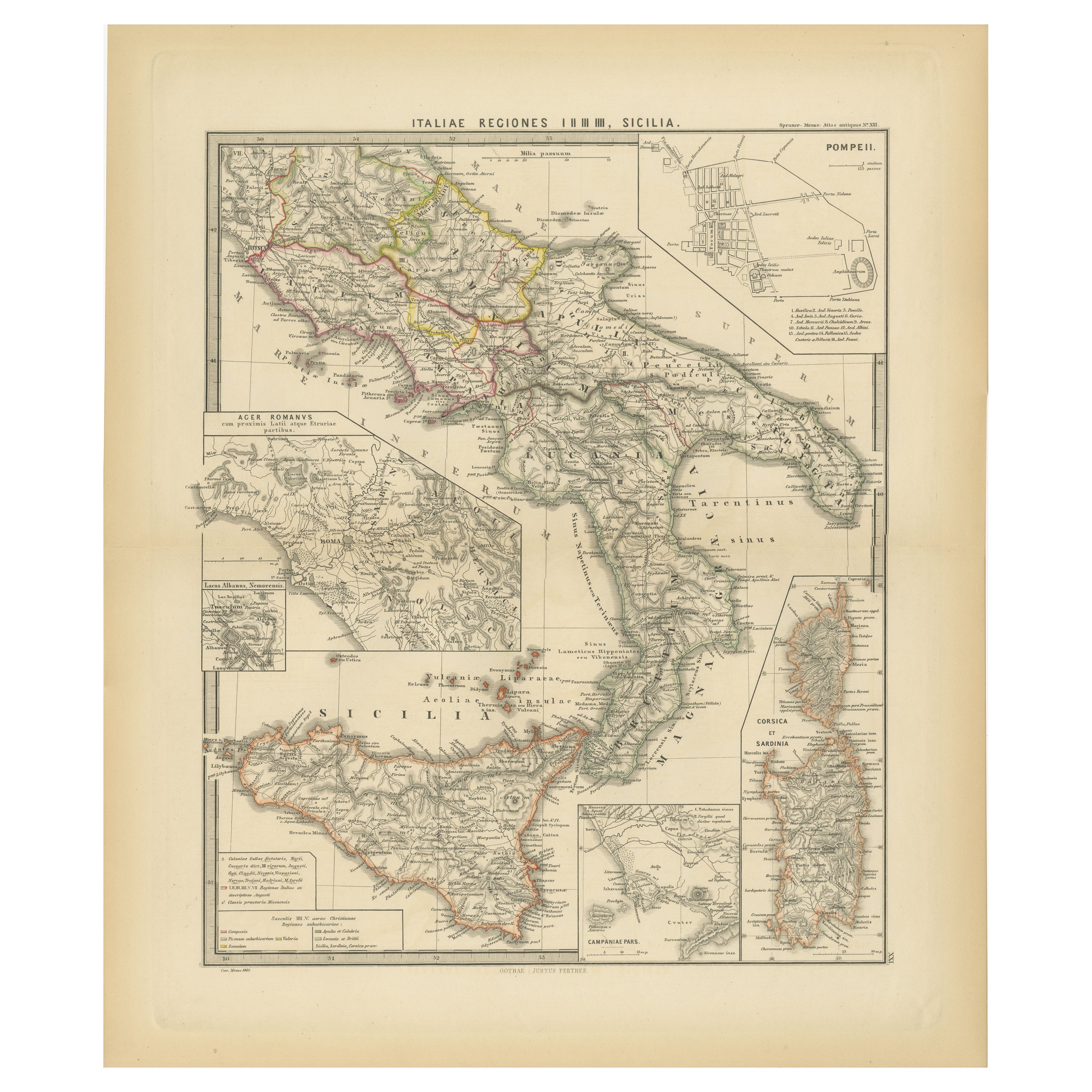
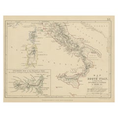
Antique Map of Southern Italy by J. Tallis, circa 1851

$304.65
£230.23
€270VAT Included
CA$434.36
A$447.79
CHF 254.43
MX$5,668.26
NOK 2,913.61
SEK 3,052.37
DKK 2,058.78

About the Item

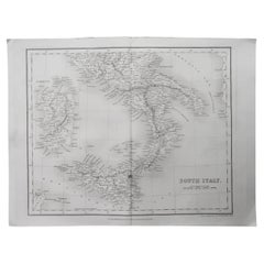
Decorative and detailed mid-19th century map of Southern Italy which was drawn and engraved by John Rapkin (vignettes by A. H. Wray and J. Rogers) and published in John Tallis & Co.'s The Illustrated Atlas (London & New York, circa 1851). The Illustrated Atlas, published from 1849-1853, was the last decorative world atlas. The Northern Italy map was typical of the many fine ones that appeared in this work with its ornamental border and attractive vignettes. Illustrated are views of Naples and Vesuvius, Benevento, a carnival and the Festival of the Vintage.
  • Dimensions:
    Height: 10.52 in (26.7 cm)Width: 14.57 in (37 cm)Depth: 0.02 in (0.5 mm)
  • Materials and Techniques:
  • Place of Origin:
  • Period:
  • Date of Manufacture:
    circa 1851
  • Condition:
    Good with age related toning. Please study image carefully.
  • Seller Location:
    Langweer, NL
  • Reference Number:
    Seller: BG-033371stDibs: LU305439345461

More From This Seller

View All
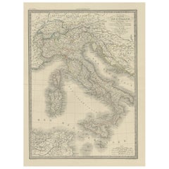
Antique Map of Italy from an Old French Atlas, 1842

Antique Map of Italy from an Old French Atlas, 1842

Located in Langweer, NL

Antique map titled 'Carte de l'Italie'. Map of Italy. This map originates from 'Atlas universel de géographie ancienne et moderne (..)' by Pierre M. Lapie and Alexandre E. Lapie. A...

Category

Antique 19th Century French Maps

Materials

Paper

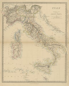
Antique Map of Italy Before Unification with Sicily, Malta and Corsica, 1858

Antique Map of Italy Before Unification with Sicily, Malta and Corsica, 1858

Located in Langweer, NL

This is an original antique map of Italy, a steel engraving colored by hand, titled "ITALY GENERAL MAP INCLUDING SICILY, MALTA SARDINIA, CORSICA &c." It covers the peninsula from...

Category

Antique Mid-19th Century British Maps

Materials

Paper

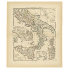
Antique Map of The Regions of Italy and Sicily during the Roman Empire, 1880

Antique Map of The Regions of Italy and Sicily during the Roman Empire, 1880

Located in Langweer, NL

This map is an original antique engraving titled "ITALIAE REGIONES IIII SICILIA," which translates to "The Regions of Italy and Sicily." This detailed historical map portrays the reg...

Category

Antique 1880s Maps

Materials

Paper

Antique Map of Italy and Greece by H. Kiepert, circa 1870

Antique Map of Italy and Greece by H. Kiepert, circa 1870

By Heinrich Kiepert

Located in Langweer, NL

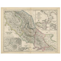
Antique map titled 'Italiae pars media'. This map originates from 'Atlas Antiquus. Zwölf Karten zur Alten Geschichte' by H. Kiepert. Published in Berlin, circa 187.

Category

Antique Late 19th Century Maps

Materials

Paper
You May Also Like

Original Antique Map of Italy By Jean Migeon, Paris. C.1860

Original Antique Map of Italy By Jean Migeon, Paris. C.1860

Located in St Annes, Lancashire

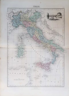
Great decorative map of Italy Published by Jean Migeon, Paris C.1860 Original colour Unframed. Free shipping

Category

Antique 1860s French Maps

Materials

Paper

Large Original Antique Map of The South of Italy. John Dower, 1861

Large Original Antique Map of The South of Italy. John Dower, 1861

Located in St Annes, Lancashire

Great map of the South of Italy Lithograph engraving by John Dower Original colour Published, 1861 Unframed Good condition Free shipping    

Category

Antique 1860s English Victorian Maps

Materials

Paper

Original Antique Map of South Italy By J.Dower. Unframed, Circa 1835

Original Antique Map of South Italy By J.Dower. Unframed, Circa 1835

Located in St Annes, Lancashire

Great map of South Italy Drawn and engraved by J.Dower Published by Orr & Smith. C.1835 Unframed. Free shipping

Category

Antique 1830s English Maps

Materials

Paper

Original Antique Map of North Italy By J.Dower. Unframed, Circa 1835

Original Antique Map of North Italy By J.Dower. Unframed, Circa 1835

Located in St Annes, Lancashire

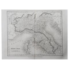
Great map of North Italy Drawn and engraved by J.Dower Published by Orr & Smith. C.1835 Unframed. Free shipping

Category

Antique 1830s English Maps

Materials

Paper

Antique Map of Italy Drawn & Engraved by R. Scott for Thomsons, Edinburgh 1814

Antique Map of Italy Drawn & Engraved by R. Scott for Thomsons, Edinburgh 1814

Located in London, GB

This is a magnificent museum quality antique hand-coloured map of Italy, dating from 1814. This historic and very rare antique map was drawn and engraved by R. Scott for Thomsons, New General Atlas, Edinburgh. The map is very detailed and the various colours - yellow, grey and green - beautifully highlight the different natural and political divisions of Italy as it was before the Italian Unification...

Category

Antique 1810s Scottish Prints

Materials

Other

Map of Italy - Etching by Pierre François Tardieu - 1837

Map of Italy - Etching by Pierre François Tardieu - 1837

By Pierre Francois Tardieu 1

Located in Roma, IT

Map of Italy is an Etching realized in 1837. Good conditions. The artwork is realized in a well-balanced composition. the artwork and belongs to the suite suite "AtlasBatt" realize...

Category

1830s Modern Figurative Prints

Materials

Lithograph