
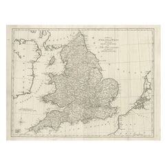
Antique Map of England and Wales by J. Blair, Circa 1779, Wall Art
Located in Langweer, NL
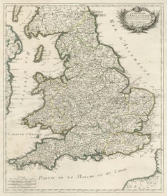
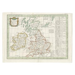
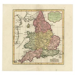
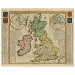
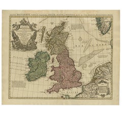
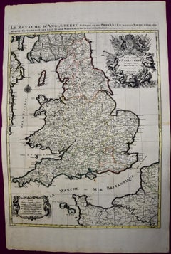
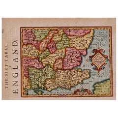
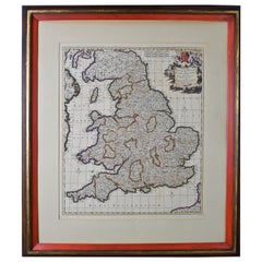
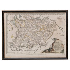
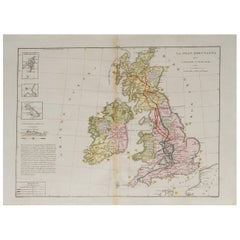
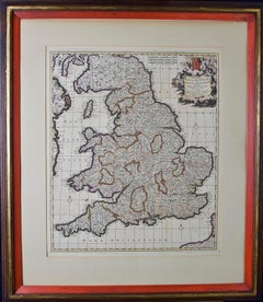
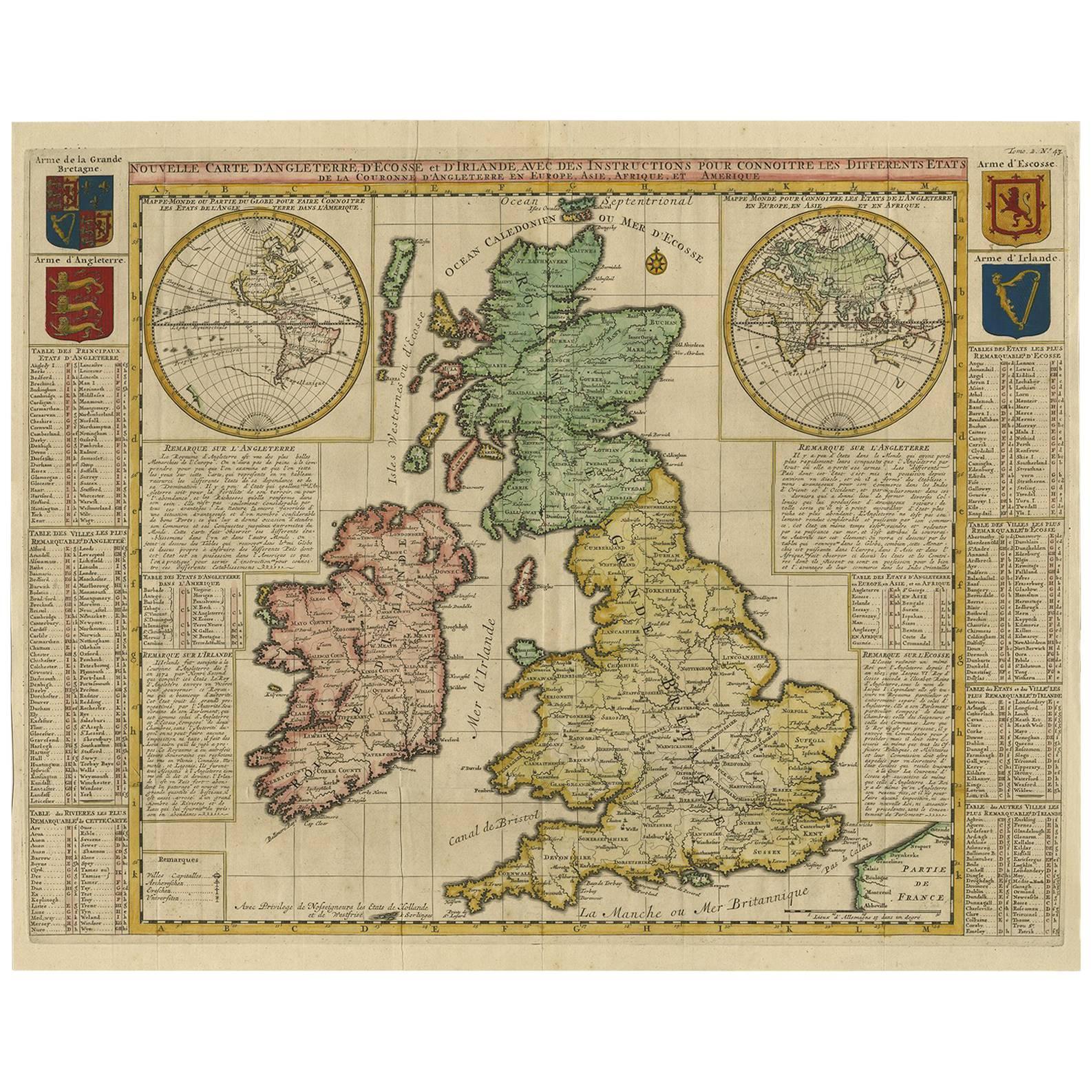
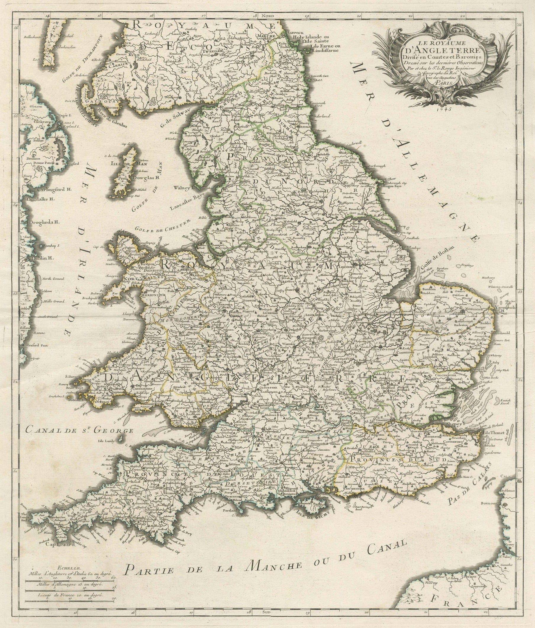
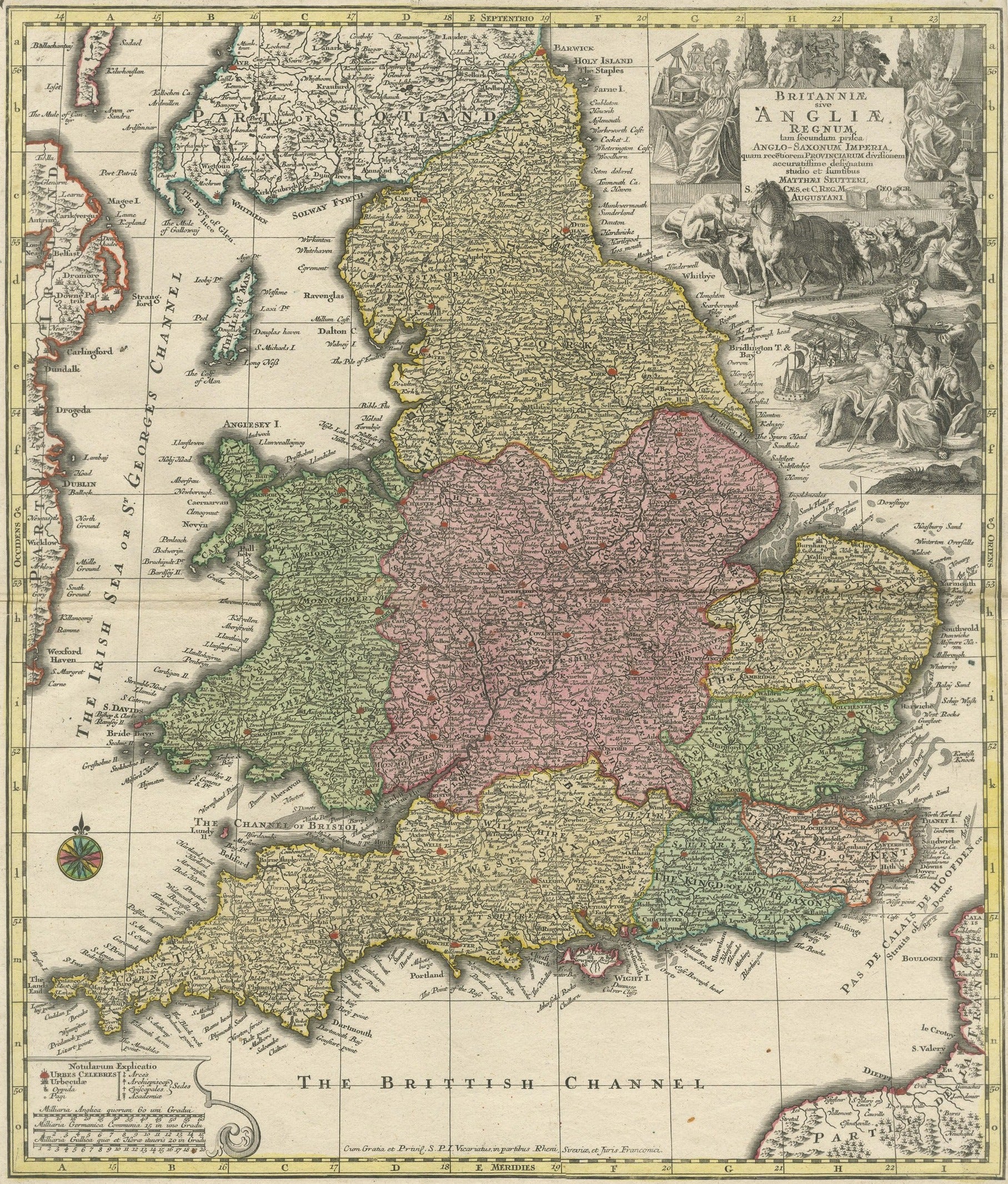
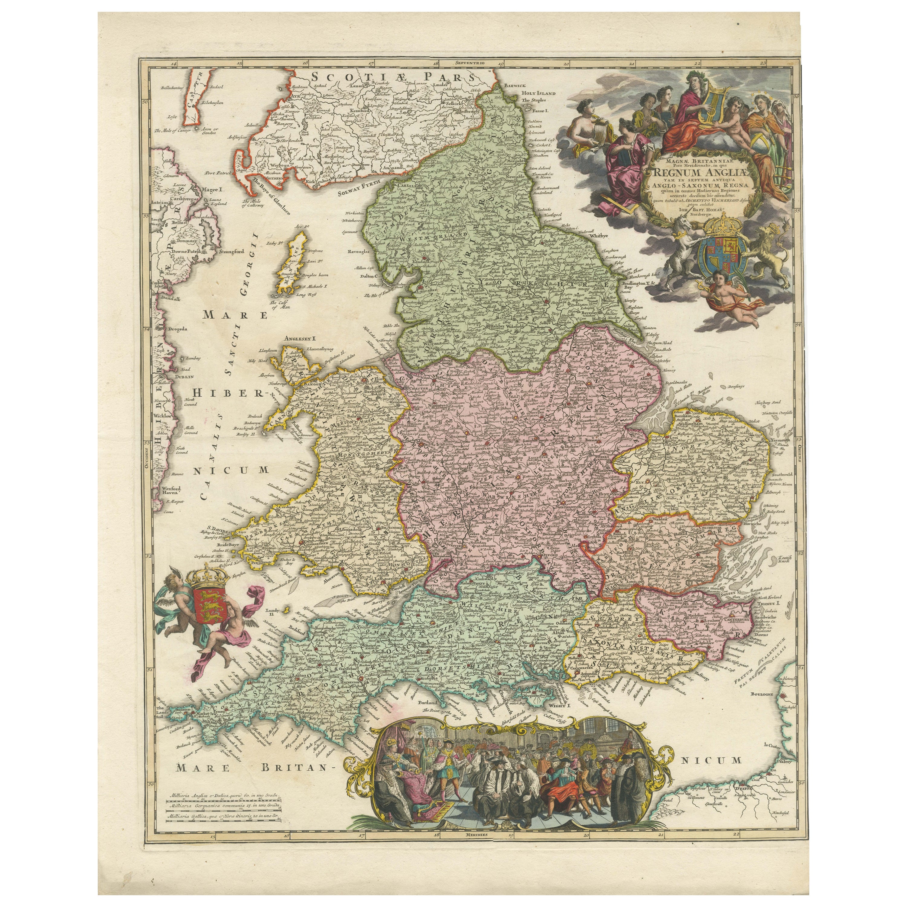
Antique map titled 'A Map of England and Wales (..)'. Large antique map of England and Wales, with part of the continental and Irish coasts. Published J. Blair, circa 1779.
Category
Antique Late 18th Century British Maps
Materials
Paper