
Want more images or videos?
Request additional images or videos from the seller.

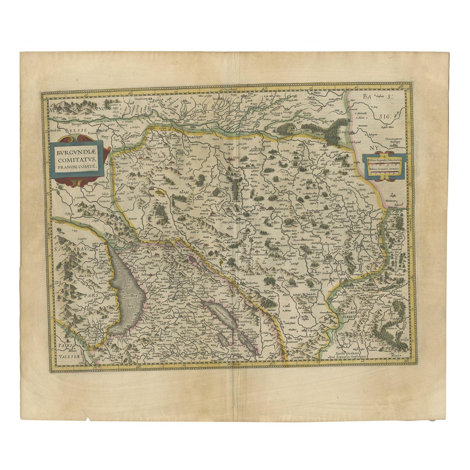
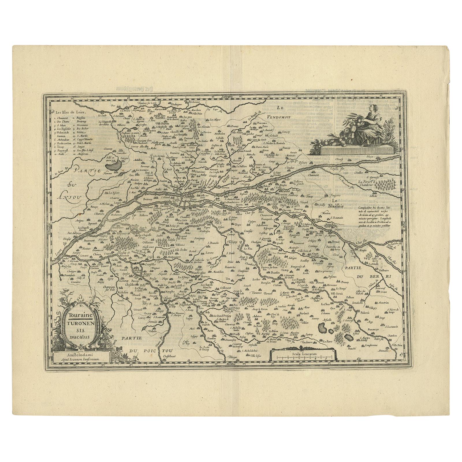
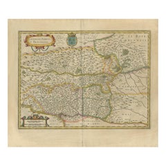
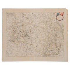
Antique Map of the Region of Lyonnais by Janssonius, '1657'

$418.29
£316.10
€370.71VAT Included
CA$596.38
A$614.82
CHF 349.34
MX$7,782.52
NOK 4,000.39
SEK 4,190.90
DKK 2,826.71

About the Item

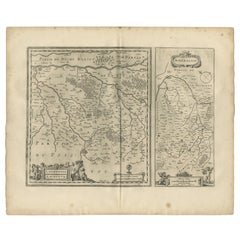
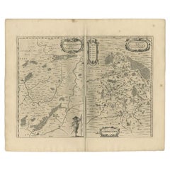
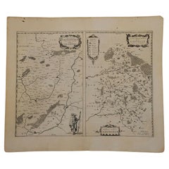
Antique map 'Lionnois, forest, beauviolois et masconnois'. Decorative map of the Lyonnais region, France. The Lyonnais is a historical province of France which owes its name to the city of Lyon. This map originates from 'Atlas Novus, Sive Theatrum Orbis Orbis Terrarum: In quo Galliae, Helvetiae (..)' by J. Janssonius (1656-1657).
  • Creator:
  • Dimensions:
    Height: 19.69 in (50 cm)Width: 23.63 in (60 cm)Depth: 0.02 in (0.5 mm)
  • Materials and Techniques:
  • Period:
    Mid-17th Century
  • Date of Manufacture:
    1657
  • Condition:
    Wear consistent with age and use. General age-related toning. Minor foxing. Latin text on verso. Please study images carefully.
  • Seller Location:
    Langweer, NL
  • Reference Number:
    Seller: BG-12082-451stDibs: LU3054316450921

More From This Seller

View All
Antique Map of the Region of Lyon by Hondius, circa 1630

Antique Map of the Region of Lyon by Hondius, circa 1630

Located in Langweer, NL

Antique map titled 'Lionnois, Forest et Beauiolois'. Old map of the former region of Lyon, Vienne, Bresse, Rohan and the Rhône River. This map originates f...

Category

Antique Mid-17th Century Maps

Materials

Paper
Antique Map of the Region of Périgord by Janssonius, 1657

Antique Map of the Region of Périgord by Janssonius, 1657

By Johannes Janssonius

Located in Langweer, NL

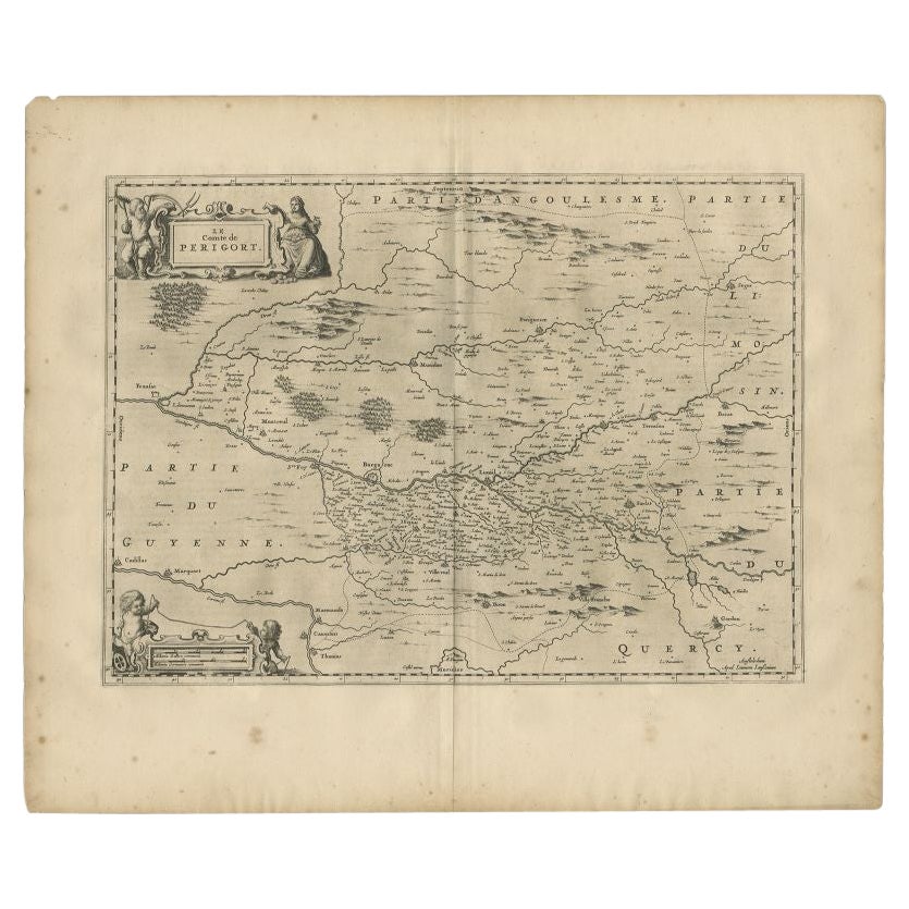
Antique map of France titled 'Le Comte de Perigort'. Decorative map of the Périgord region. Périgord is a natural region and former province of France, which corresponds roughly to t...

Category

Antique 17th Century Maps

Materials

Paper

Antique Map of Loudun and Mirebeau by Janssonius '1657'

Antique Map of Loudun and Mirebeau by Janssonius '1657'

By Johannes Janssonius

Located in Langweer, NL

Antique map 'Loudunois Laudunum - Mirebalais'. Decorative map of the region of Loudun and Mirebeau. This map originates from 'Atlas Novus, Sive Theatrum Orbis Orbis Terrarum: In quo ...

Category

Antique Mid-17th Century Maps

Materials

Paper
Antique Map of the Region of Vermandois and Cappelle, France by Janssonius, 1657

Antique Map of the Region of Vermandois and Cappelle, France by Janssonius, 1657

By Johannes Janssonius

Located in Langweer, NL

Antique map of France titled 'Descriptio Veromanduorum - Gouvernement de la Cappelle'. Two detailed maps of France on one sheet. The Vermandois map is centered on the Oyse and So...

Category

Antique 17th Century Maps

Materials

Paper
Antique Map of the Region of Saintonge by Janssonius, 1657

Antique Map of the Region of Saintonge by Janssonius, 1657

By Johannes Janssonius

Located in Langweer, NL

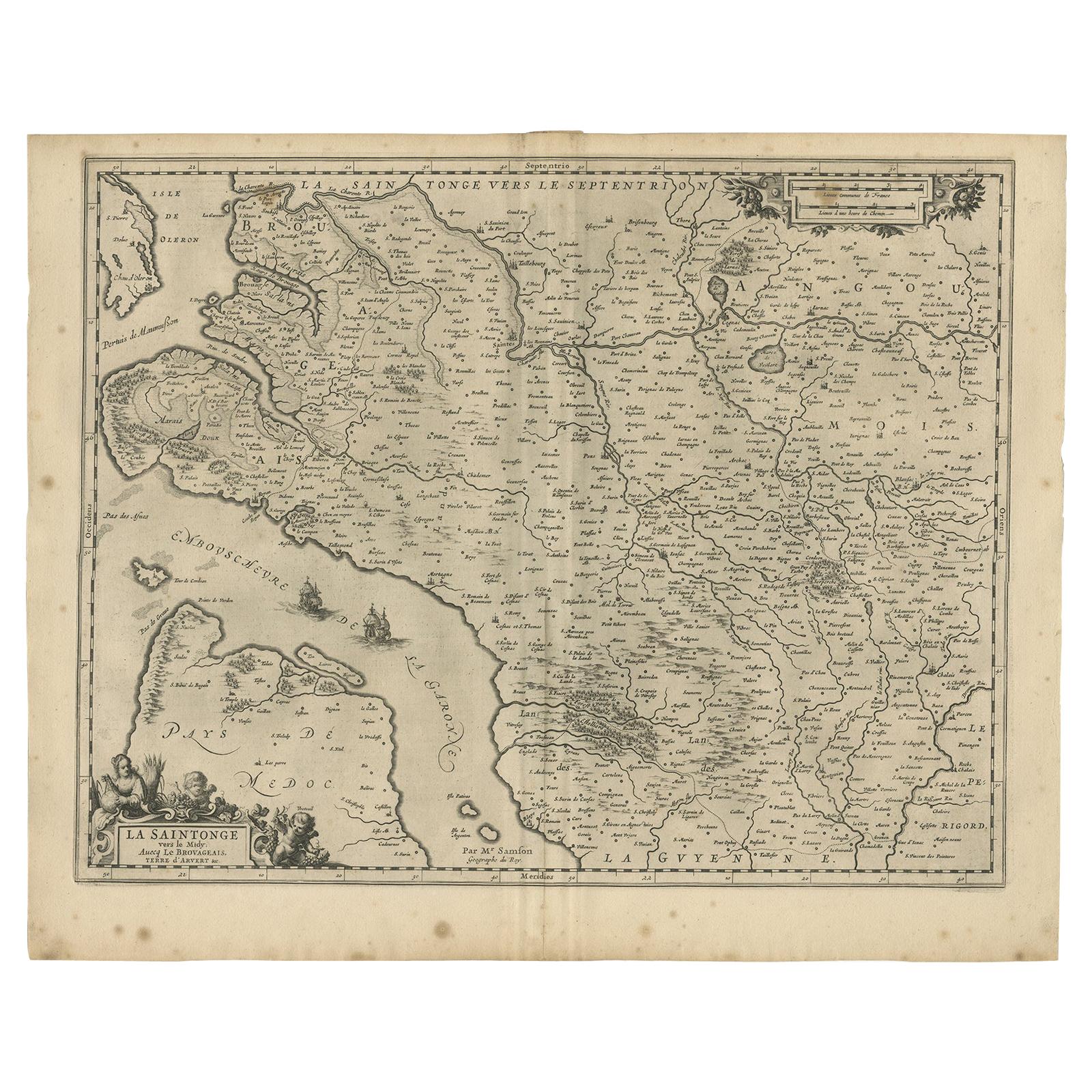
Antique map of France titled 'La Saintonge vers le Septentrion avecq le Pays d'Aulnis'. Decorative map of the Saintonge region. Includes Ile de Re, Ile d'Oleron and the cities of Nio...

Category

Antique 17th Century Maps

Materials

Paper
You May Also Like

1657 Janssonius Map of Vermandois and Cappelle, Ric. A-004

1657 Janssonius Map of Vermandois and Cappelle, Ric. A-004

Located in Norton, MA

1657 Janssonius map of Vermandois and Cappelle Ric.a004 Description: Antique map of France titled 'Descriptio Veromanduorum - Gouvernement de la Cappelle'. Two detailed maps o...

Category

Antique 17th Century Unknown Maps

Materials

Paper

1640 Joan Bleau Map Entitled"Diocecese de rheims et le pais de rethel, Eic.a011

1640 Joan Bleau Map Entitled"Diocecese de rheims et le pais de rethel, Eic.a011

Located in Norton, MA

1640 Joan Bleau map entitled "Diocecese de rheims et le pais de rethel," Ric.a011 OAN BLAEU Diocecese de Rheims, et le pais de Rethel. Handcolored engraving, c.1640. ...

Category

Antique 17th Century Dutch Maps

Materials

Paper

1627 Hendrik Hondius Map Entitled "Vltoniae Orientalis Pars, " Ric.a009

1627 Hendrik Hondius Map Entitled "Vltoniae Orientalis Pars, " Ric.a009

Located in Norton, MA

1627 Hendrik Hondius map entitled "Vltoniae orientalis pars," Ric.a009 Title: Vltoniae orientalis : pars Title (alt.) : Ultoniae orientalis pars Creator: Mercator, Gerh...

Category

Antique 17th Century Dutch Maps

Materials

Paper

1635 Willem Blaeu Map of Northern France"Comitatvs Bellovacvm" Ric.a08

1635 Willem Blaeu Map of Northern France"Comitatvs Bellovacvm" Ric.a08

Located in Norton, MA

1635 Willem Blaeu map of northern France, entitled. "Comitatvs Bellovacvm Vernacule Beavvais," Colored, 1 item only. Ric.a008 “COMITATVS BELLOVACVM…” Ams...

Category

Antique 17th Century Unknown Maps

Materials

Paper

1714 Henri Chatelain "Nouvelle Carte Des Etatas Du Grand.Duc De Mos Moscovie Eur

1714 Henri Chatelain "Nouvelle Carte Des Etatas Du Grand.Duc De Mos Moscovie Eur

Located in Norton, MA

A 1714 Henri Chatelain map, entitled "Nouvelle Carte Des Etatas Du Grand Duc De Moscovie En Europe," Ricb001 Henri Abraham Chatelain (1684-1743) was a Huguenot pastor of Parisi...

Category

Antique Early 18th Century Dutch Maps

Materials

Paper