
Want more images or videos?
Request additional images or videos from the seller.

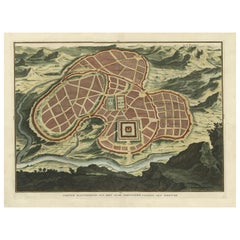
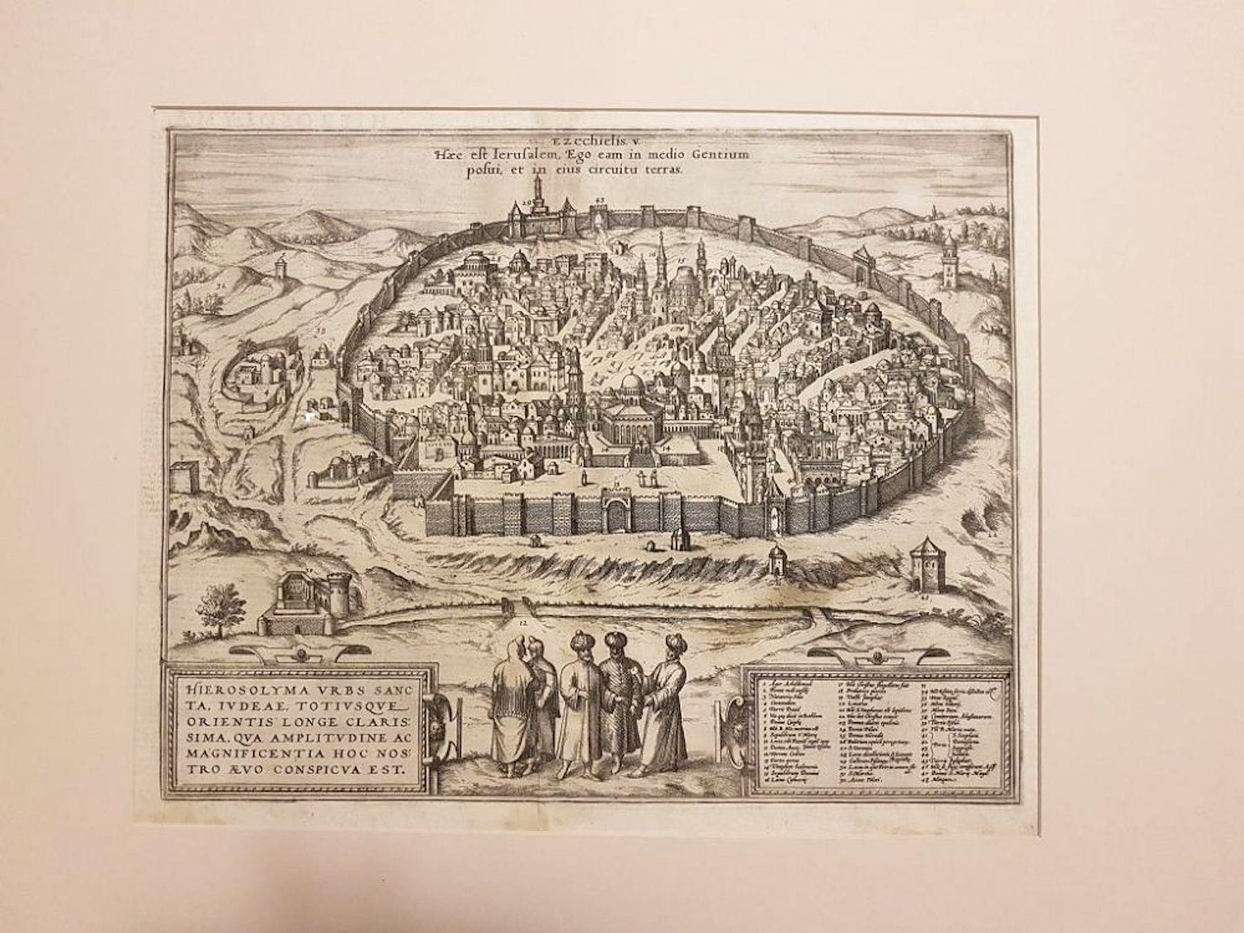
Antique Map of the City of Jerusalem by N. Visscher, 1702

$3,892.80
£2,941.79
€3,450VAT Included
CA$5,550.18
A$5,721.81
CHF 3,251.09
MX$72,427.71
NOK 37,229.50
SEK 39,002.51
DKK 26,306.65

About the Item

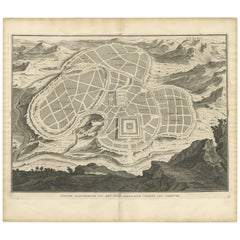
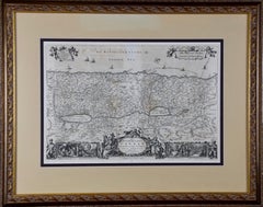
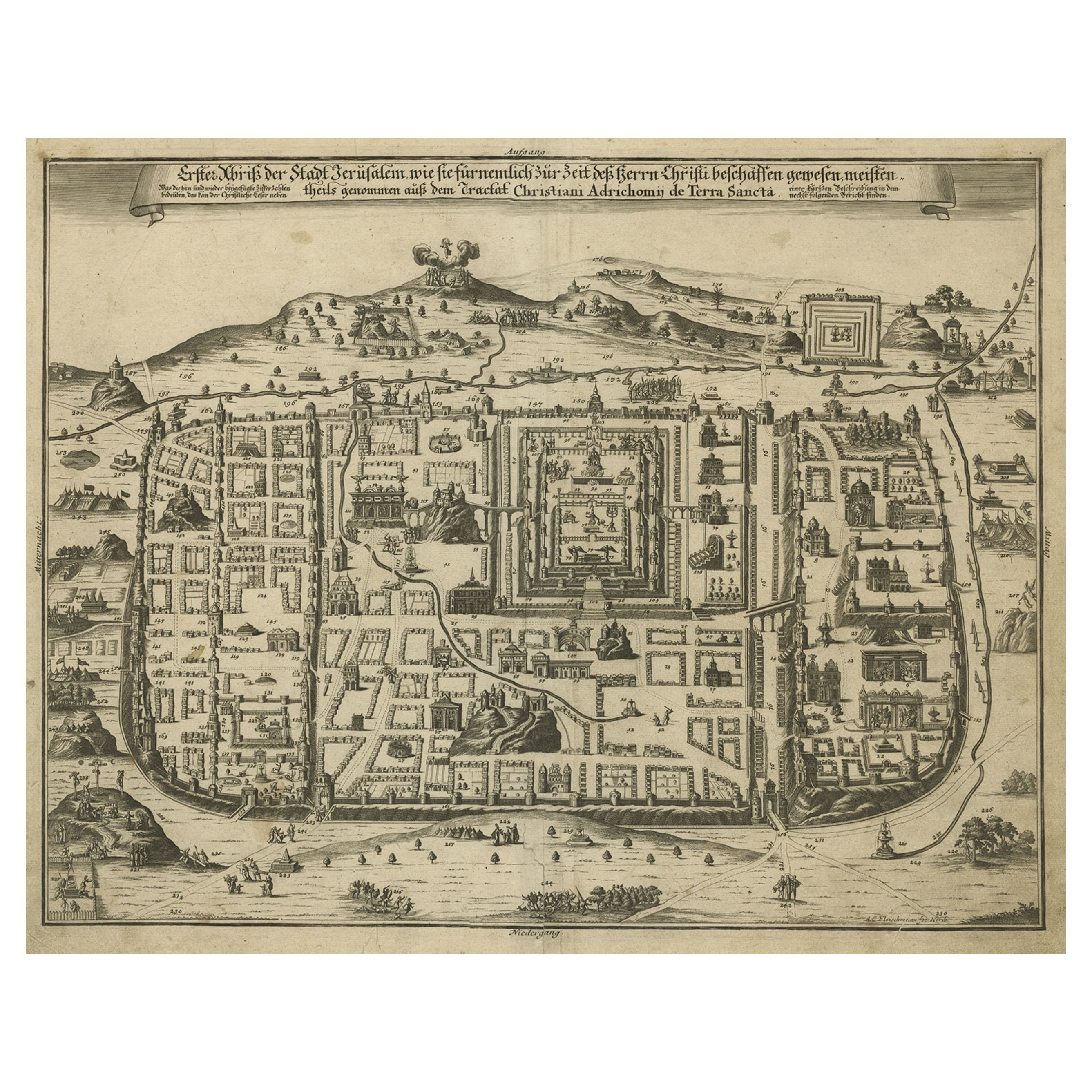
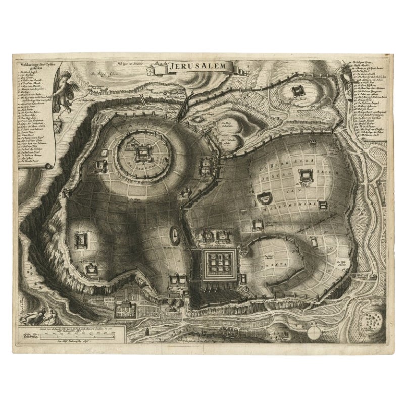
Antique map titled 'Die Heylige en Wytvermaerde stadt Jerusalem Eerst Genaemt Salem, Genesis 14 vers 18'. This map originates from 'Biblia. Ouden ende Nieuwen Testaments (..)'. Published, Jacob Lindberg, Amsterdam, 1702.
  • Dimensions:
    Height: 20.87 in (53 cm)Width: 26.97 in (68.5 cm)Depth: 0.75 in (1.9 cm)
  • Materials and Techniques:
  • Place of Origin:
  • Period:
  • Date of Manufacture:
    1702
  • Condition:
    Great condition. Frame included, some minor defects. Please study image carefully.
  • Seller Location:
    Langweer, NL
  • Reference Number:
    Seller: BG-069841stDibs: LU3054310287013

More From This Seller

View All
Antique Map of the Ancient City of Jerusalem by A. Calmet, 1725

Antique Map of the Ancient City of Jerusalem by A. Calmet, 1725

Located in Langweer, NL

Antique map, titled: 'Nieuwe Plattegrond van het Oude Jeruzalem Volgens den Schryver.' - Bird's-eye view of the ancient city of Jerusalem shows its divisions with prominent depiction...

Category

Antique Early 18th Century French Prints

Materials

Paper

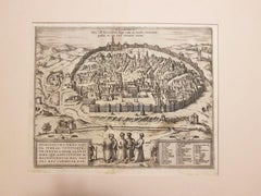
Antique Detailed Map of Jerusalem in Israël with Extensive Key and Scale, 1698

Antique Detailed Map of Jerusalem in Israël with Extensive Key and Scale, 1698

Located in Langweer, NL

Antique map titled 'Jerusalem.' Plan of the ancient city of Jerusalem. With extensive key and scale. Source unknown, to be determined. Artists and Engravers: Made by 'Cornelis de...

Category

Antique 17th Century Dutch Maps

Materials

Paper

Antique Map of the City of Grave by Blaeu, 1649

Antique Map of the City of Grave by Blaeu, 1649

Located in Langweer, NL

Antique map titled 'Grave'. Original antique map of the city of Grave, the Netherlands. Published by J. Blaeu, 1649. Artists and Engravers: Joan Blaeu (23 September 1596 - 28 May...

Category

Antique 17th Century Maps

Materials

Paper

Antique Map of Ancient Jerusalem, depicting The Temple of Solomon, c.1725

Antique Map of Ancient Jerusalem, depicting The Temple of Solomon, c.1725

Located in Langweer, NL

Antique map titled 'Nieuwe Plattegrond van het Oude Jeruzalem Volgens den Schryver.' Bird's-eye view of the ancient city of Jerusalem shows its divisions with prominent depictions ...

Category

Antique 18th Century French Maps

Materials

Paper

You May Also Like

Utrecht, Antique Map from "Civitates Orbis Terrarum"

Utrecht, Antique Map from "Civitates Orbis Terrarum"

By Franz Hogenberg

Located in Roma, IT

Braun G., Hogenberg F., Traiectum or Utrecht, from the collection Civitates Orbis Terrarum, Cologne, T. Graminaeus, 1572-1617. Very fine B/W aquatint showing a view of Utrecht, with...

Category

16th Century Landscape Prints

Materials

Etching

Map Of The City Of Geneva, Framed Engraving, Late 18th Century

Map Of The City Of Geneva, Framed Engraving, Late 18th Century

Located in MARSEILLE, FR

Beautiful engraving representing the city of Geneva corrected in 1775 and 1793 The engraving also presents inserts with the evolution of the city, the plan of ancient Geneva and ...

Category

Antique Late 18th Century Swiss Louis XV Prints

Materials

Paper

17th Century Toulouse, Savve, Sommieres Topographical Map by Iohan Peeters

17th Century Toulouse, Savve, Sommieres Topographical Map by Iohan Peeters

Located in New York, NY

Fine topographical 17th century map of Toulouse, Savve and Sommieres by Iohan Peeters Beautiful engraving of the capital of France's Occitanie Region, Toulouse, called La Ville Rose- the Pink City, for the terracotta bricks used in its many buildings, giving the city a distinct apricot-rose hue. An important cultural and educational center, the city's residents included Nobel Prize winners and world renown artists- Henri de Toulouse-Lautrec, Henri Martin, Jean-Auguste-Dominique Ingres, Antonin Mercie, Alexandre Falguiere and more recently Cyril Kongo...

Category

Antique 17th Century Dutch Maps

Materials

Paper