Want more images or videos?
Request additional images or videos from the seller.

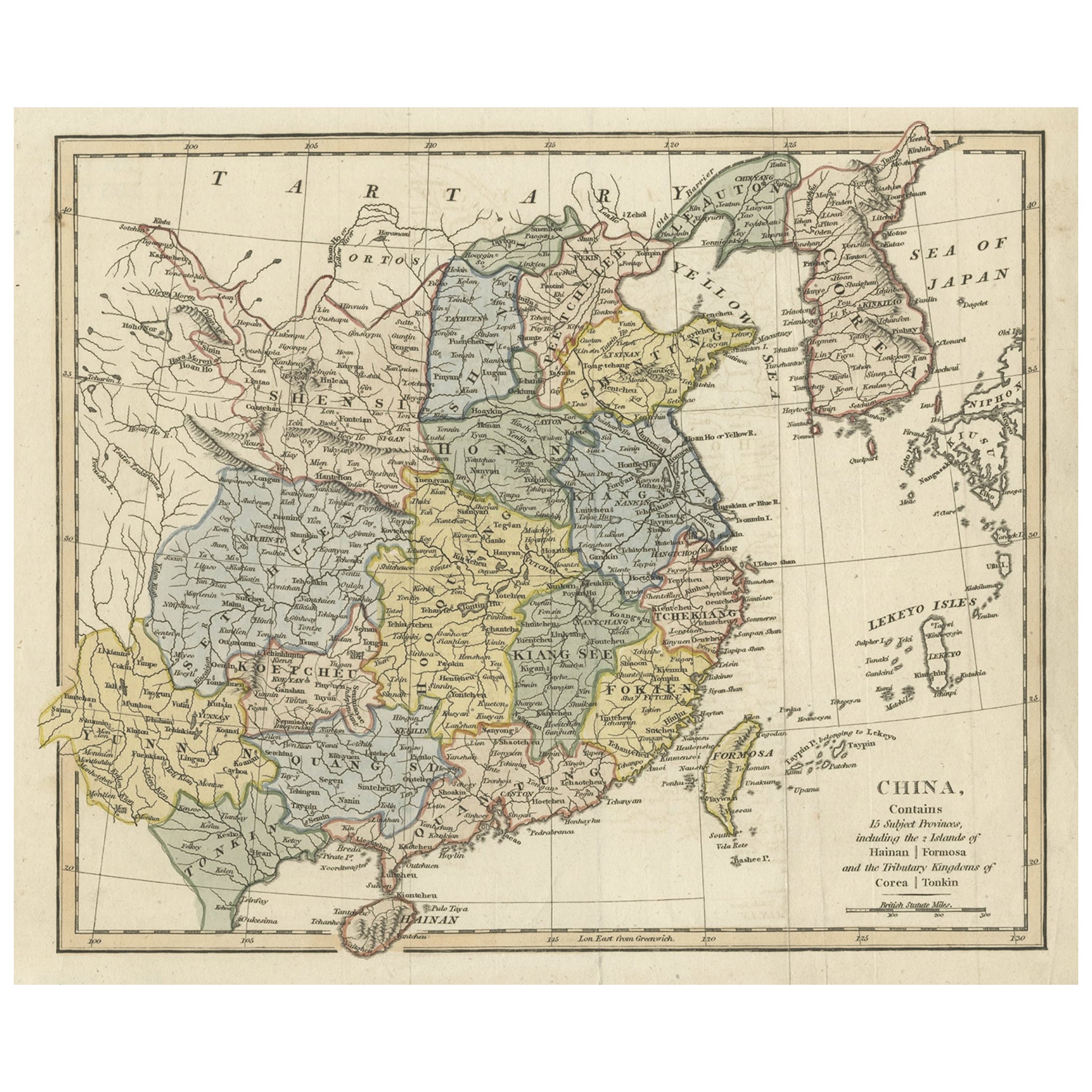
Antique Map of China and Japan by Wyld '1845'

$338.50
£255.81
€300VAT Included
CA$482.62
A$497.55
CHF 282.70
MX$6,298.06
NOK 3,237.35
SEK 3,391.52
DKK 2,287.53

About the Item

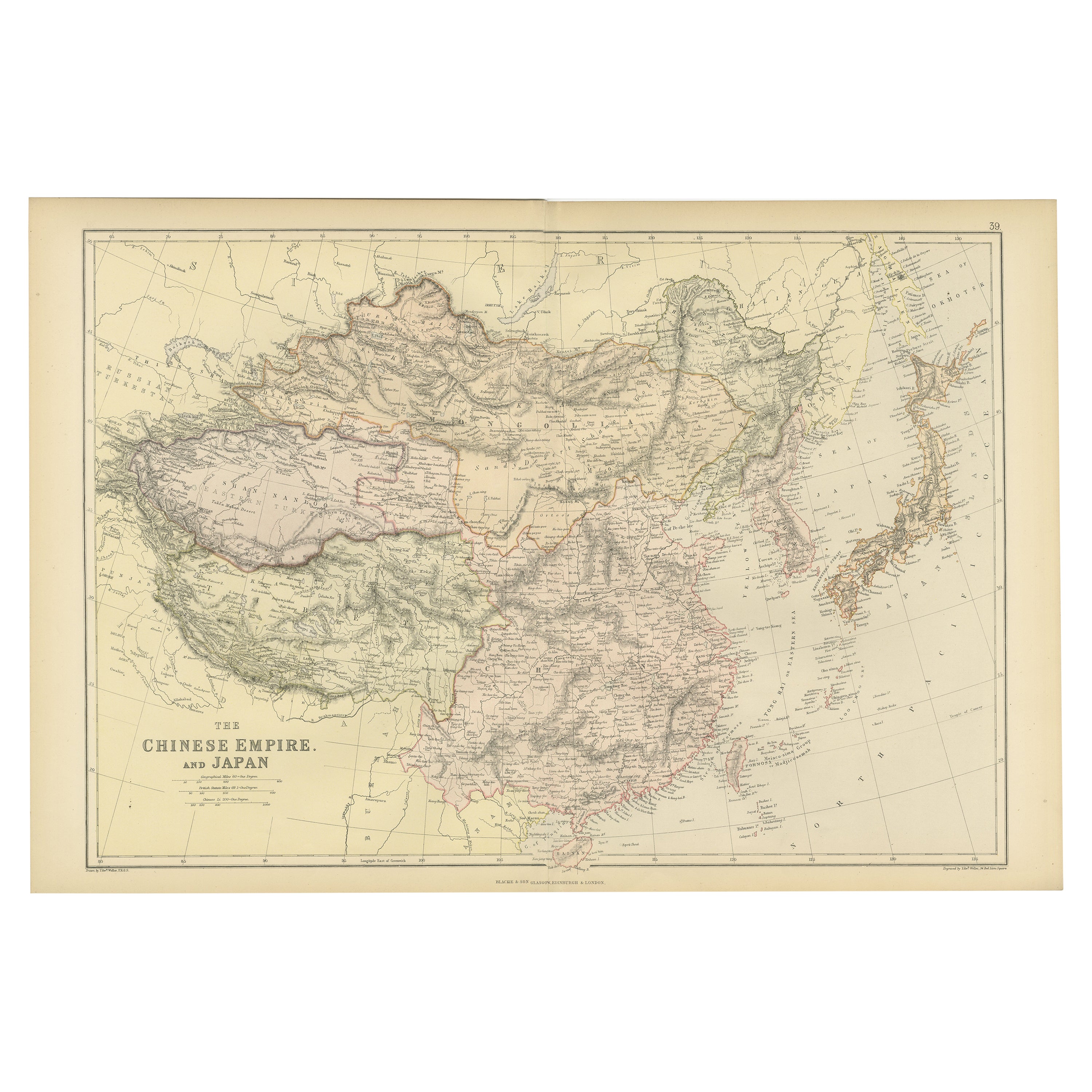
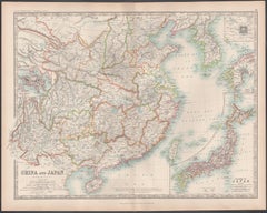
Antique map titled 'Map of the Empires of China and Japan'. Original antique map of China and Japan. This map originates from 'An Atlas of the World, Comprehending Separate Maps of its Various Countries, constructed and drawn from the latest Astronomical and Geographical Observations' by J. Wyld. Published 1845.
  • Dimensions:
    Height: 10.24 in (26 cm)Width: 14.18 in (36 cm)Depth: 0.02 in (0.5 mm)
  • Materials and Techniques:
  • Period:
  • Date of Manufacture:
    1845
  • Condition:
    General age-related toning. Minor wear, light staining. Blank verso, please study image carefully.
  • Seller Location:
    Langweer, NL
  • Reference Number:
    Seller: BG-12894-131stDibs: LU3054323139302

More From This Seller

View All
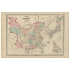
Antique Map of China and Japan by Johnson, 1872

Antique Map of China and Japan by Johnson, 1872

Located in Langweer, NL

Antique map titled 'Johnson's China and Japan'. Map of China and Japan, with an inset map of the vicinity of Canton and Hong Kong. This map originates from 'Johnson's New Illustrated...

Category

Antique Late 19th Century Maps

Materials

Paper

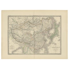
Antique Map of the Chinese Empire and Japan by Lapie, 1842

Antique Map of the Chinese Empire and Japan by Lapie, 1842

Located in Langweer, NL

Antique map titled 'Carte de L'Empire Chinois et du Japon'. Map of the Chinese Empire (China) and Japan. This map originates from 'Atlas universel de géographie ancienne et moderne (...

Category

Antique Mid-19th Century Maps

Materials

Paper

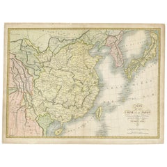
Antique Map of China and Japan by Tardieu, 1821

Antique Map of China and Japan by Tardieu, 1821

Located in Langweer, NL

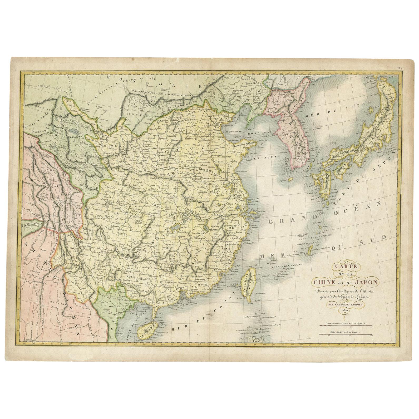
Antique map titled 'Carte de la Chine et du Japon'. Detailed map of China, showing Korea, Japan and Taiwan. This map originates from 'L'histoire général des voyages' by J.F. de la Harpe.

Category

Antique Early 19th Century Maps

Materials

Paper

Antique Map of China and Japan by A.K. Johnston, 1865

Antique Map of China and Japan by A.K. Johnston, 1865

Located in Langweer, NL

Antique map titled 'China and Japan'. Depicting Eastern China, the Islands of Japan and more. This map originates from the ‘Royal Atlas of Modern Geography’ by Alexander Keith Johnst...

Category

Antique Mid-19th Century Maps

Materials

Paper

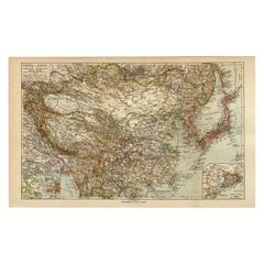
Antique Map of China and Japan by Meyer, 1895

Antique Map of China and Japan by Meyer, 1895

Located in Langweer, NL

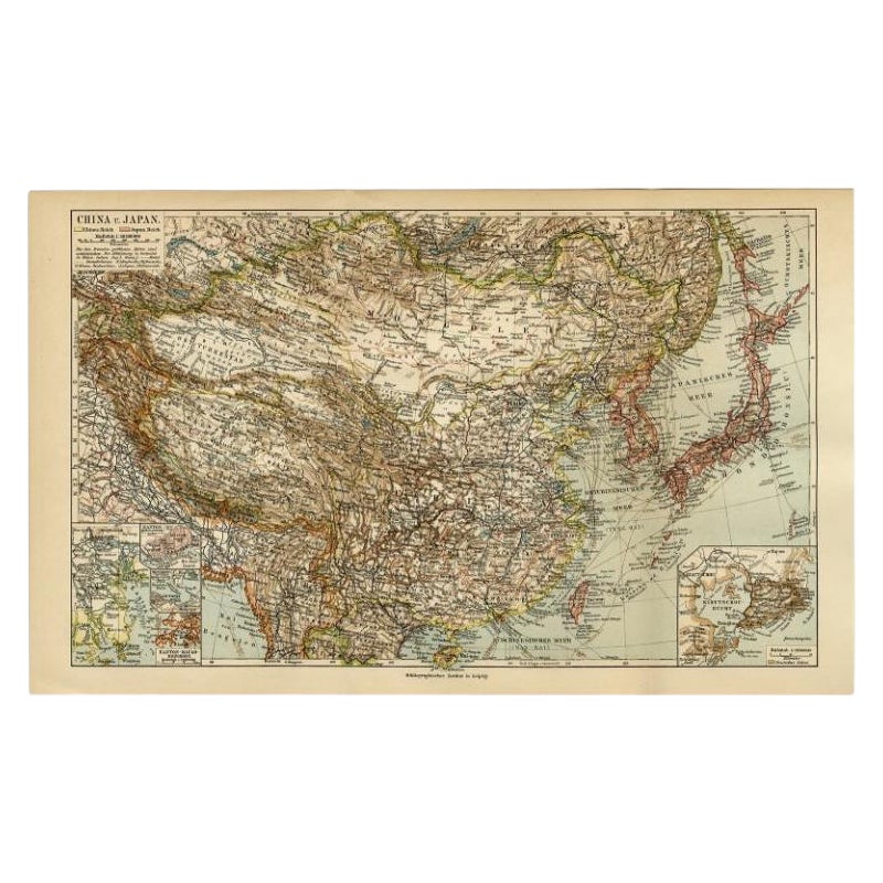
Antique map titled 'China und Japan'. Map of China, Mongolia, Taiwan and Japan. With an inset map of Jiaozhou Wan near Qingdao, and another of the region around Hongkong, including Kanton and Macau, with small plans of Hong Kong and Kanton. This map originates from a 1885-1907 edition of a famous German encyclopedia titled 'Meyers grosses Konversations-Lexikon', published in Leipzig and Vienna. Meyers Konversations-Lexikon was a major German encyclopedia that existed in various editions from 1839 until 1984, when it merged with the Brockhaus encyclopedia. Several of the plates were also used in Dutch Encyclopedia's like Winkler Prins...

Category

Antique 19th Century Maps
Materials

Paper

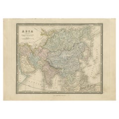
Antique Map of Asia by Wyld '1845'

Antique Map of Asia by Wyld '1845'

Located in Langweer, NL

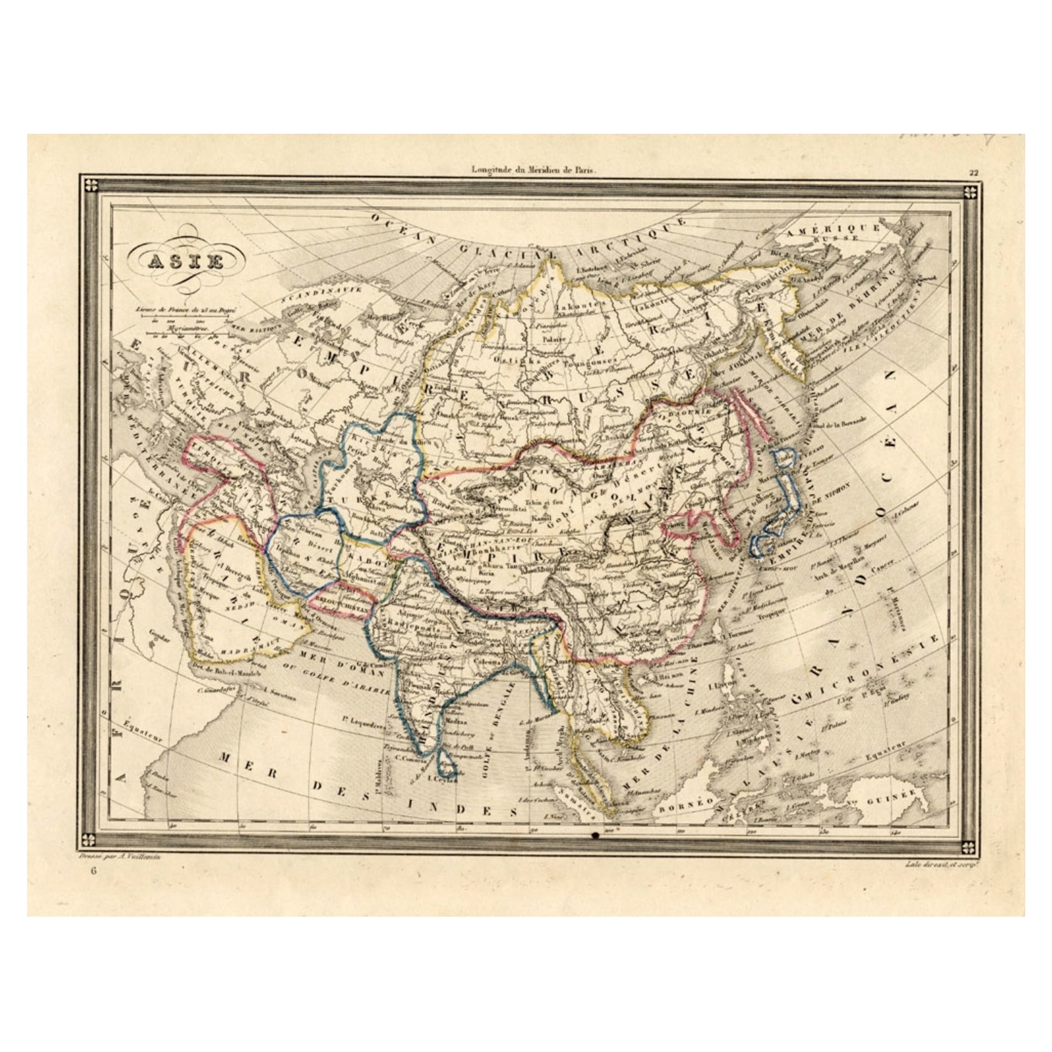
Antique map titled 'Asia'. Original antique map of Asia. This map originates from 'An Atlas of the World, Comprehending Separate Maps of its Variou...

Category

Antique Mid-19th Century Maps

Materials

Paper

You May Also Like

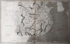
Original Antique Map of China, Arrowsmith, 1820

Original Antique Map of China, Arrowsmith, 1820

Located in St Annes, Lancashire

Great map of China Drawn under the direction of Arrowsmith Copper-plate engraving Published by Longman, Hurst, Rees, Orme and Brown, 1820 Unfr...

Category

Antique 1820s English Maps

Materials

Paper

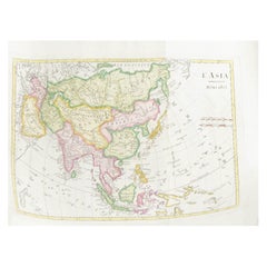
Antique 1803 Italian Map of Asia Including China Indoneseia India

Antique 1803 Italian Map of Asia Including China Indoneseia India

Located in Amsterdam, Noord Holland

Antique 1803 Italian Map of Asia Including China Indoneseia India Very nice map of Asia. 1803. Additional information: Type: Map Country of Manufacturing: Europe Period: 19th centu...

Category

Antique 19th Century European Maps

Materials

Paper

Large Original Antique Map of Asia by Sidney Hall, 1847

Large Original Antique Map of Asia by Sidney Hall, 1847

Located in St Annes, Lancashire

Great map of Asia Drawn and engraved by Sidney Hall Steel engraving Original colour outline Published by A & C Black. 1847 Unframed Free shipping

Category

Antique 1840s Scottish Maps

Materials

Paper

Large Original Vintage Map of Japan, circa 1920

Large Original Vintage Map of Japan, circa 1920

Located in St Annes, Lancashire

Great map of Japan Unframed Original color By John Bartholomew and Co. Edinburgh Geographical Institute Published, circa 1920 Free shipping.  

Category

Vintage 1920s British Maps

Materials

Paper