Want more images or videos?
Request additional images or videos from the seller.

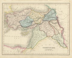
Antique Map of Asia Minor Turkey by Edward Weller, Weekly Dispatch, 1863

$315.94
£238.75
€280VAT Included
CA$450.45
A$464.38
CHF 263.86
MX$5,878.19
NOK 3,021.52
SEK 3,165.42
DKK 2,135.03

About the Item

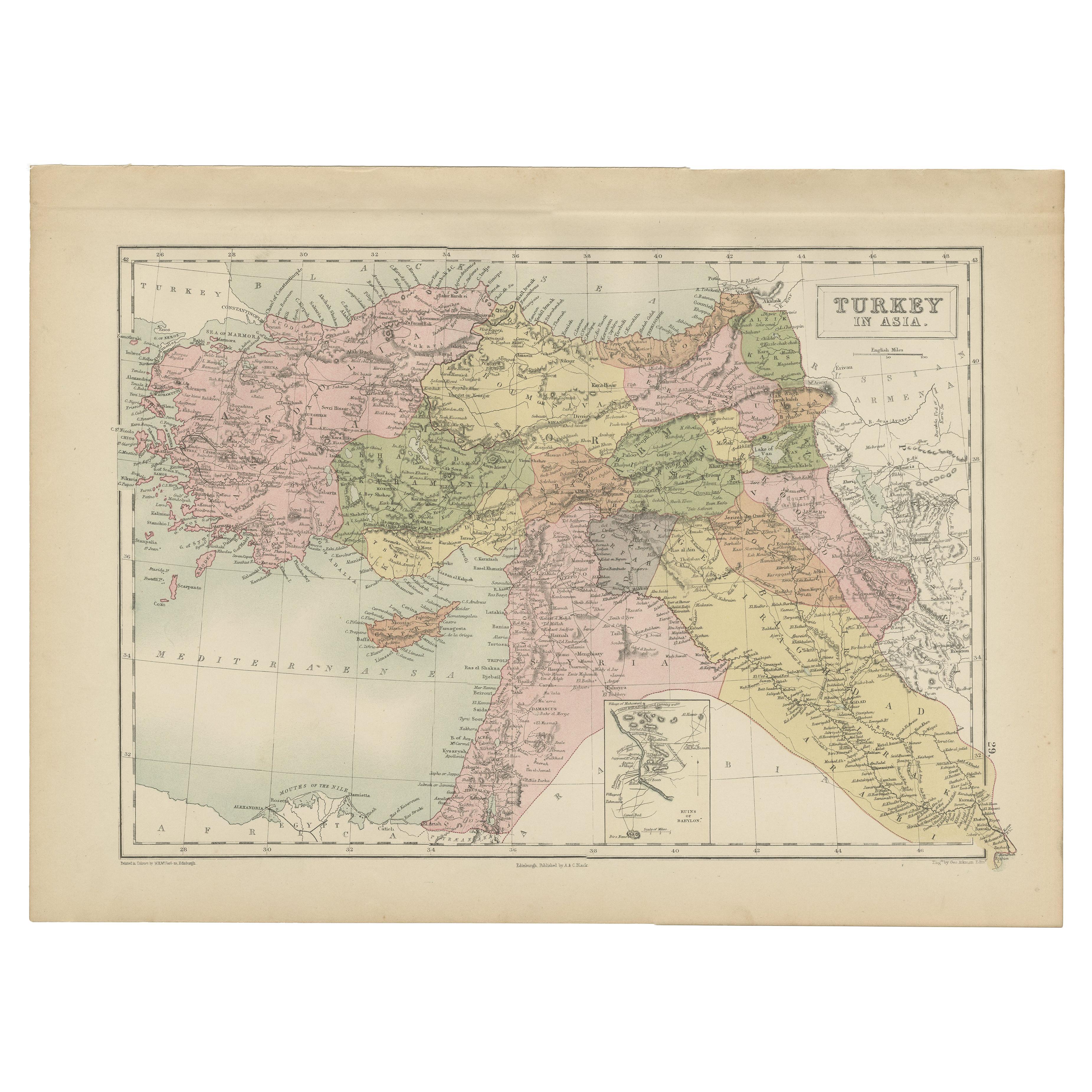
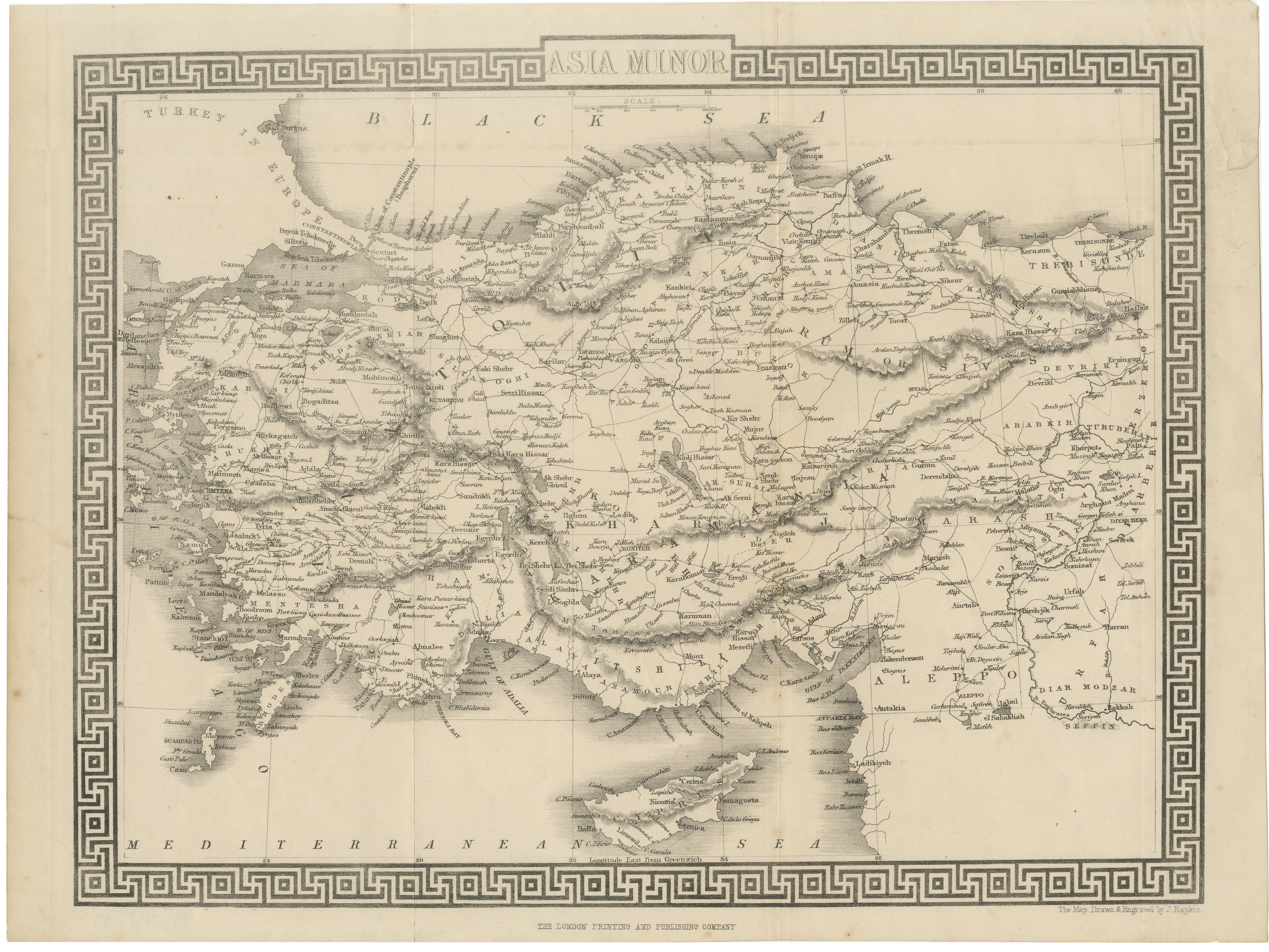
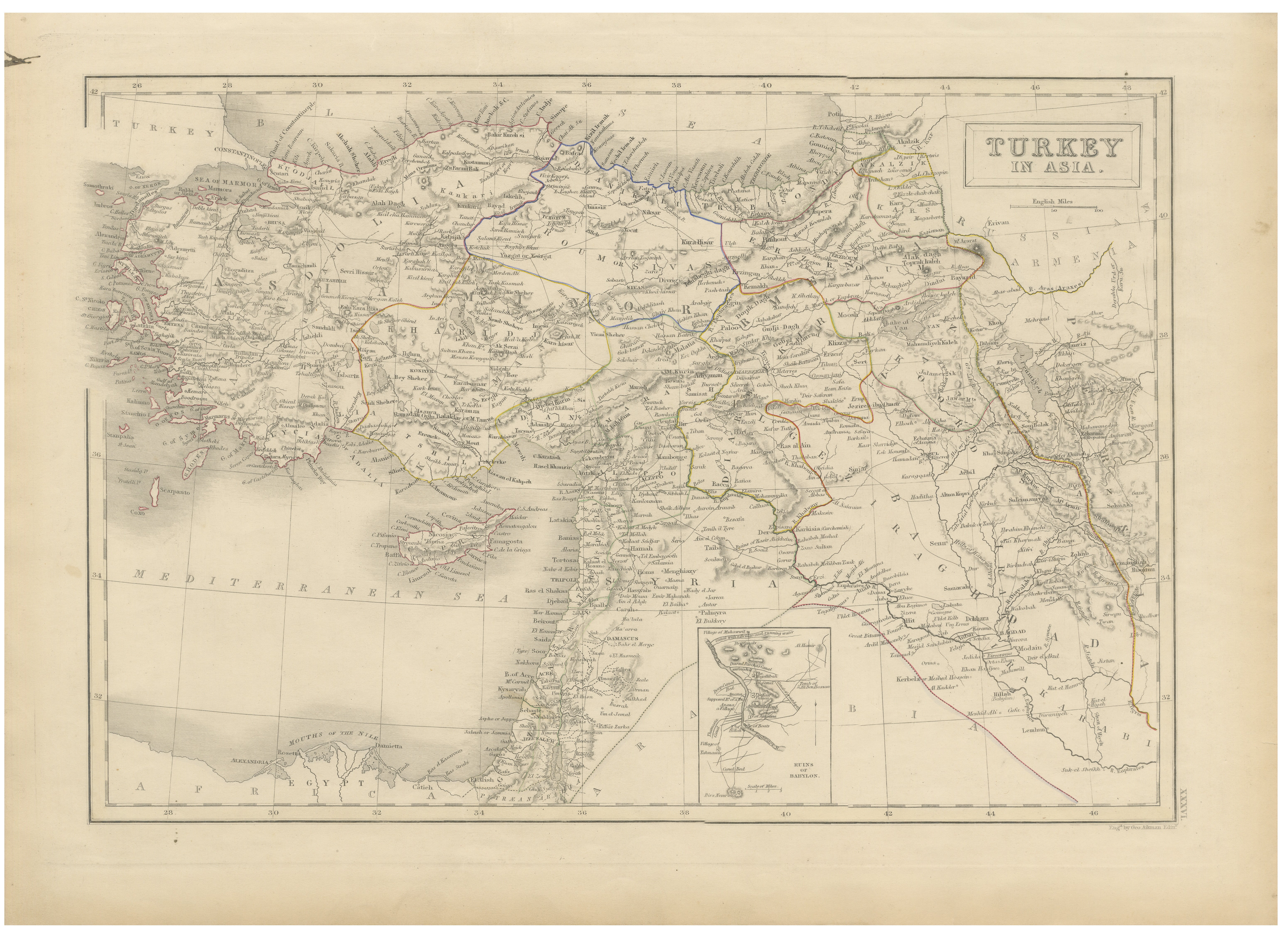
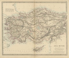
Antique Map of Asia Minor Turkey by Edward Weller, Weekly Dispatch, 1863 Detailed antique map of Asia Minor, present-day Turkey, engraved by Edward Weller, F.R.G.S., and published in the Weekly Dispatch Atlas in 1863. The map covers the entire Anatolian peninsula with extensive geographic detail, including Constantinople, Smyrna, Trebizond, Armenia, Cyprus, and surrounding regions bordering the Black Sea and Mediterranean. The engraving is exceptionally detailed, showing mountain ranges, rivers, provincial boundaries, ancient trade routes, coastal features, and hundreds of towns and cities throughout the Ottoman Empire. Original outline hand-coloring emphasizes the regional borders in delicate pastel tones, adding elegance and decorative appeal to the map. Edward Weller was among the leading British map engravers of the 19th century, admired for his precise and highly readable cartographic style. His maps published for the Weekly Dispatch Atlas remain sought after by collectors for both their historical importance and decorative qualities. A beautiful and historically significant map of Anatolia during the late Ottoman period, ideal for collectors of Middle Eastern cartography, Turkish history, or 19th-century British atlases. The print is an original antique lithograph, not a reproduction. All items we offer are authentic period works of art over 100 years old. The piece is sold unframed; any framed images are shown for presentation and interior inspiration only and may not always be to scale. Condition: Good antique condition with light age toning, scattered foxing, and minor edge wear consistent with age and handling. Original hand-coloring remains fresh and attractive. Framing tips: Particularly attractive in a dark walnut or ebonized frame with a wide warm-white mat for a refined study or library presentation. Technique: Hand-colored lithograph Maker: Edward Weller, London, 1863
  • Dimensions:
    Height: 13.39 in (34 cm)Width: 18.9 in (48 cm)Depth: 0.01 in (0.2 mm)
  • Materials and Techniques:
  • Place of Origin:
  • Period:
  • Date of Manufacture:
    1863
  • Condition:
    Good antique condition with light age toning, scattered foxing, and minor edge wear consistent with age and handling. Original hand-coloring remains fresh and attractive.
  • Seller Location:
    Langweer, NL
  • Reference Number:
    Seller: BG-14279-611stDibs: LU3054350061732

More From This Seller

View All
Antique Map of Asia Minor and Cyprus by William Henry F. Plate, 1858

Antique Map of Asia Minor and Cyprus by William Henry F. Plate, 1858

Located in Langweer, NL

An original antique map of Asia Minor, a steel engraving colored by hand, with red outline color for the provincial boundaries and a pale blue wash along the coasts and lakes. The ti...

Category

Antique Mid-19th Century British Maps

Materials

Paper

Antique Map of Asia Minor by J. Tallis, circa 1851

Antique Map of Asia Minor by J. Tallis, circa 1851

Located in Langweer, NL

A highly decorative mid-19th century map of 'Asia Minor' (modern day Turkey) which was drawn and engraved by J. Rapkin and published in John Tallis's Illust...

Category

Antique Mid-19th Century British Maps

Materials

Paper

Antique Map of Asia Minor Turkey with Greek Key Border by Tallis, c.1850

Antique Map of Asia Minor Turkey with Greek Key Border by Tallis, c.1850

Located in Langweer, NL

Antique Map of Asia Minor Turkey with Greek Key Border by Tallis, c.1850 A highly decorative and finely engraved map titled “Asia Minor,” depicting the region of Anatolia (modern-day Turkey) in remarkable detail, produced in the mid-19th century and published by John Tallis and the London Printing and Publishing Company. This map was engraved by John Rapkin after designs by H. Warren, forming part of one of the most visually distinctive and sought-after atlases of the Victorian period. The map presents a comprehensive view of Asia Minor, including present-day Turkey along with surrounding regions such as Cyprus, Rhodes, and parts of the eastern Mediterranean. It reflects the geopolitical landscape of the Ottoman Empire during the 19th century, with detailed place names, mountain ranges, rivers, and classical references carefully rendered throughout the composition. One of the most striking features of this piece is its bold and elegant Greek key (Meander) border, a design inspired by classical antiquity and strongly associated with ancient Greek art and architecture. This decorative frame elevates the map beyond a purely geographical document, giving it a refined and architectural presence that makes it especially desirable for interior display. John Tallis maps are widely regarded as some of the most decorative productions of the 19th century, combining precise engraving with artistic flourishes that appeal strongly to collectors and interior designers alike. The collaboration between Rapkin and Warren resulted in maps that are both informative and highly aesthetic, bridging the gap between scientific cartography and decorative art. This example, presented in its uncolored or monochrome state, offers a more restrained and architectural aesthetic, emphasizing the fine engraving work and making it particularly suitable for modern and minimalist interiors, while still retaining its historical depth and character. This is an original 19th-century engraving, not a reproduction. All items we offer are authentic period works of art over 100 years old. The print is sold unframed; any framed images are shown for presentation and interior inspiration only and not always on scale in the visual presentation. Condition: Good condition with age-related toning and light surface wear. Central folds as issued. Minor spotting and handling marks consistent with age. Margins intact with a strong and crisp impression. Framing tips: This map works exceptionally well in a dark walnut or ebonized frame with a wide ivory or off-white mat to emphasize the graphic border. For a more contemporary look, a thin black frame with a generous mat creates a striking contrast that highlights the Greek key design. Technique: Steel engraving Maker: John Tallis / John Rapkin, London, circa 1850 Keywords: Asia Minor Turkey Anatolia Ottoman Empire Constantinople Istanbul Smyrna Izmir Bursa Ankara Taurus Mountains Cappadocia Cyprus Rhodes Mediterranean Sea Black Sea Aegean Sea Dardanelles Bosphorus Armenia Syria Levant Asia Minor map Tallis Rapkin Warren Victorian map Greek...

Category

Antique Mid-19th Century British Maps
Materials

Paper

Antique Map of Turkey in Asia, Ottoman Empire Middle East, c. 1850

Antique Map of Turkey in Asia, Ottoman Empire Middle East, c. 1850

Located in Langweer, NL

Antique Map of Turkey in Asia, Ottoman Empire Middle East, c. 1850 Large and finely engraved antique map titled “Turkey in Asia,” depicting the vast Asian territories of the Ottoman...

Category

Antique Mid-19th Century British Maps
Materials

Paper

Antique Map of Turkey in Asia by Dower, Anatolia, Syria and Iraq, circa 1845

Antique Map of Turkey in Asia by Dower, Anatolia, Syria and Iraq, circa 1845

Located in Langweer, NL

This antique map of Turkey in Asia was drawn and engraved by John Dower of Pentonville and published in London by Orr and Company of Amen Corner, Paternoster Row, around 1845. It is ...

Category

Antique Mid-19th Century British Victorian Maps

Materials

Paper

Antique Map of Turkey in Asia with Tableland Profile by Dower, circa 1845

Antique Map of Turkey in Asia with Tableland Profile by Dower, circa 1845

Located in Langweer, NL

This antique map of Turkey in Asia was drawn and engraved by John Dower of Pentonville and published in London by Orr and Company, Amen Corner, Paternoster Row, around 1845. Unlike D...

Category

Antique Mid-19th Century British Victorian Maps

Materials

Paper

You May Also Like

Large Original Antique Map of Cyprus. 1894

Large Original Antique Map of Cyprus. 1894

Located in St Annes, Lancashire

Superb Antique map of Cyprus Published Edward Stanford, Charing Cross, London 1894 Original colour Good condition Unframed. Free shipping

Category

Antique 1890s English Maps

Materials

Paper

Original Antique Map of Iran By J.Dower. Unframed, Circa 1835

Original Antique Map of Iran By J.Dower. Unframed, Circa 1835

Located in St Annes, Lancashire

Great map of Iran Drawn and engraved by J.Dower Published by Orr & Smith. C.1835 Unframed. Free shipping

Category

Antique 1830s English Maps

Materials

Paper

Hand-Colored 18th Century Homann Map of the Black Sea, Turkey and Asia Minor

Hand-Colored 18th Century Homann Map of the Black Sea, Turkey and Asia Minor

By Johann Baptist Homann

Located in Alamo, CA

An attractive original early 18th century hand-colored map of the Black Sea and Turkey entitled "Carte de L'Asie Minevre ou de la Natolie et du Pont Evxin Tiree des Voyages et des Ob...

Category

Antique Early 18th Century German Maps

Materials

Paper

Original Antique Map of South Italy By J.Dower. Unframed, Circa 1835

Original Antique Map of South Italy By J.Dower. Unframed, Circa 1835

Located in St Annes, Lancashire

Great map of South Italy Drawn and engraved by J.Dower Published by Orr & Smith. C.1835 Unframed. Free shipping

Category

Antique 1830s English Maps

Materials

Paper

Original Antique Map of China, Arrowsmith, 1820

Original Antique Map of China, Arrowsmith, 1820

Located in St Annes, Lancashire

Great map of China Drawn under the direction of Arrowsmith Copper-plate engraving Published by Longman, Hurst, Rees, Orme and Brown, 1820 Unfr...

Category

Antique 1820s English Maps

Materials

Paper

Original Antique Map of India by Dower, circa 1835

Original Antique Map of India by Dower, circa 1835

Located in St Annes, Lancashire

Nice map of India Drawn and engraved by J.Dower Published by Orr & Smith. C.1835 Unframed. Free shipping

Category

Antique 1830s English Maps

Materials

Paper