Want more images or videos?
Request additional images or videos from the seller.

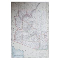
Antique Map of Arizona Territory, with the Grand Canyon, Rand McNally, 1899

$445.70
£336.81
€395VAT Included
CA$635.46
A$655.11
CHF 372.23
MX$8,292.45
NOK 4,262.51
SEK 4,465.50
DKK 3,011.92

About the Item

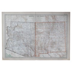
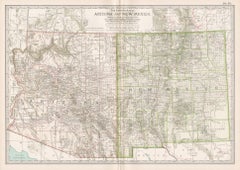
Rand McNally's antique map of Arizona, from page 333 of the firm's 1899 indexed atlas, shows the Territory of Arizona county by county, statehood not coming until 1912: Mohave and Yuma along the Colorado River in the west, Coconino across the Colorado Plateau in the north, Yavapai, Maricopa and Pinal through the centre, and Graham, Pima and Cochise across the south. The Grand Canyon of the Colorado is traced across Coconino County, though without the place-name detail a dedicated Grand Canyon map would carry, and the Navajo Indian Reservation, with the Moqui, that is Hopi, Indian Reservation nested within it, occupies the entire northeastern quarter. The White Mountain Apache reservation is outlined in the east, and Phoenix, in Maricopa County, sits at the centre of a red railroad network keyed to a legend of some sixteen companies at lower right, including the Arizona and New Mexico, the Maricopa and Phoenix and Salt River Valley, the Santa Fe, Prescott and Phoenix, and the Southern Pacific main line crossing the southern counties through Tucson and Yuma. Mining camps, Tombstone, Bisbee, Globe, Jerome and the United Verde district among them, are named along their spur lines, a fair reflection of how copper and silver mining, rather than agriculture, drove the territory's rail development. Mountain and desert relief is rendered throughout in dense hachured shading, with named peaks, washes and desert plains, the Painted Desert, the Yuma Desert and the country south of Tucson, recorded in considerable detail even where settlements are few. Scale is given as 28 statute miles to the inch, and a note directs the reader to the adjoining Utah, New Mexico, Mexico, California and Nevada maps. Rand McNally, one of the leading map publishers in the United States by the 1890s, revised its maps from issue to issue. This antique map of Arizona is an original 1899 colour lithograph, with a black outline and the colours printed over it, and it is suitable for framing. The colour is printed rather than applied by hand. The sheet is in good condition for its age, with light age toning, a few small spots in the margins and minor wear to the sheet edges. Please review the images for further condition details. This is an original antique map, not a modern reproduction. This item is sold unframed. Any framed or interior images are shown for presentation and inspiration only, unless the listing explicitly states that the item is sold framed.
  • Creator:
  • Dimensions:
    Height: 20.48 in (52 cm)Width: 14.18 in (36 cm)
  • Style:
    Late Victorian (Of the Period)
  • Materials and Techniques:
  • Place of Origin:
  • Period:
  • Date of Manufacture:
    1899
  • Condition:
    Good condition for its age. Light age toning, a few small spots in the margins and minor wear to the sheet edges. Please review the images for further condition details.
  • Seller Location:
    Langweer, NL
  • Reference Number:
    Seller: BG-12793-2-681stDibs: LU3054352030252

More From This Seller

View All
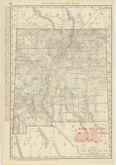
Antique Map of New Mexico Territory, Before Statehood, Rand McNally, 1899

Antique Map of New Mexico Territory, Before Statehood, Rand McNally, 1899

By Rand McNally & Co.

Located in Langweer, NL

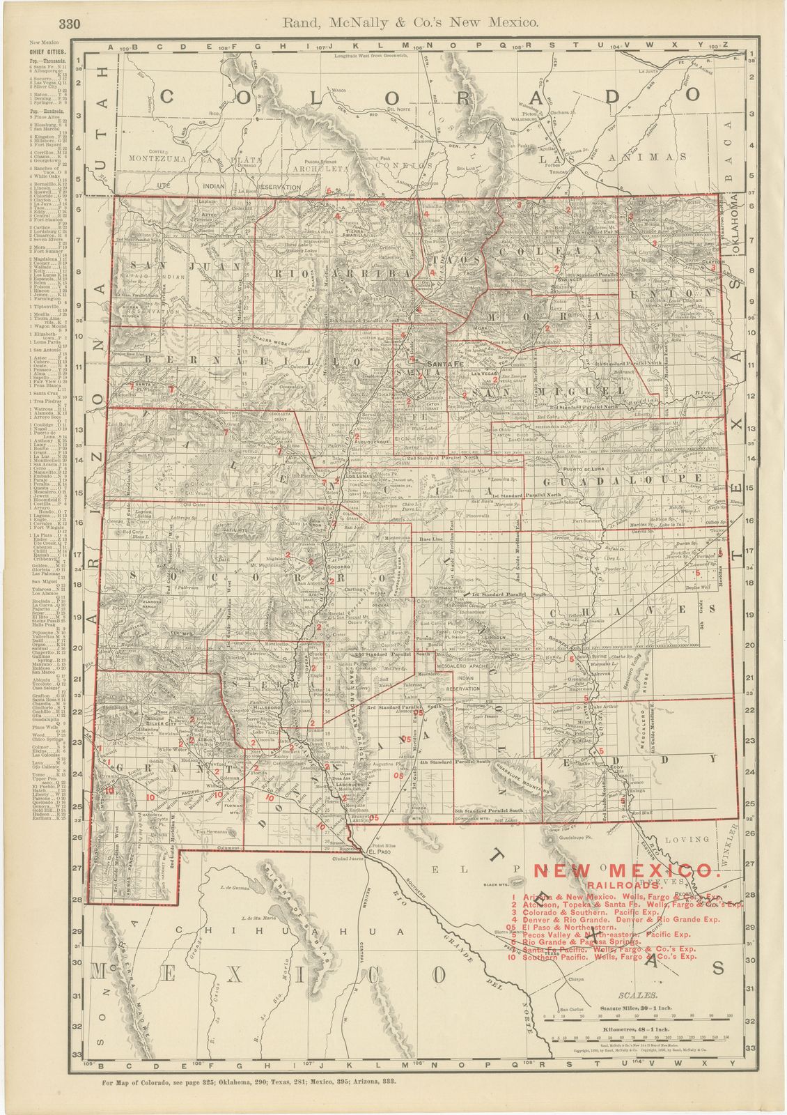
This antique map of New Mexico, printed by Rand McNally in 1899 on page 330 of its indexed atlas, shows the Territory of New Mexico county by county, statehood not coming until 1912,...

Category

Antique Late 19th Century American Late Victorian Maps

Materials

Paper

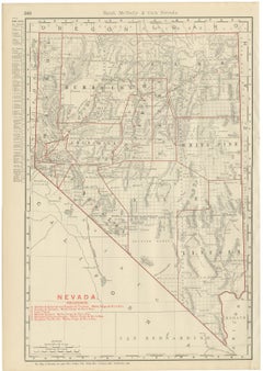
Antique Map of Nevada, The Silver State, Rand McNally, 1899

Antique Map of Nevada, The Silver State, Rand McNally, 1899

By Rand McNally & Co.

Located in Langweer, NL

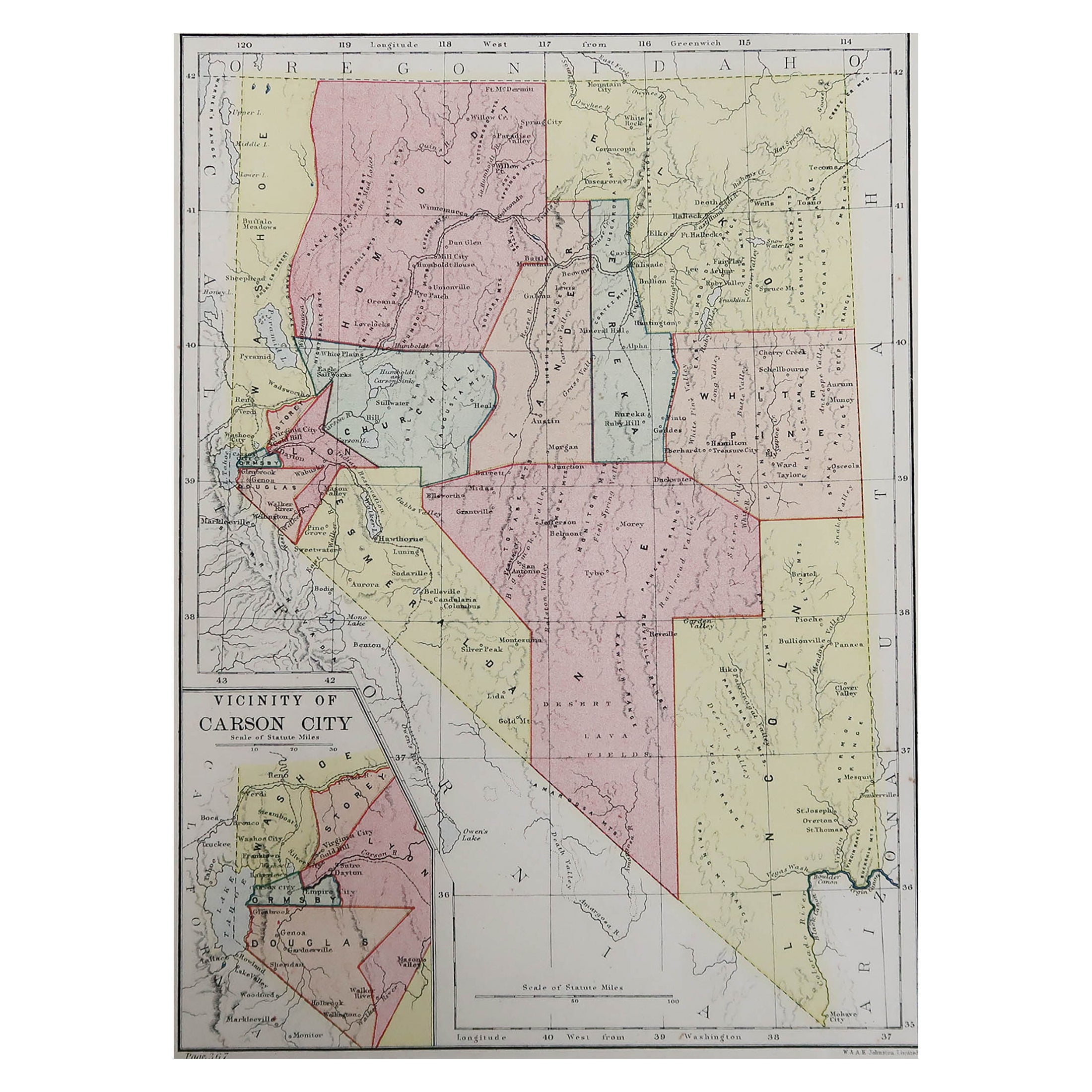
An antique map of Nevada from page 348 of Rand McNally's 1899 indexed atlas, this sheet shows the state county by county: Washoe, Humboldt, Elko, Lander, Eureka and White Pine across the north, Churchill, Ormsby, Douglas, Esmeralda and Nye through the centre and south, and Lincoln in the far southeast corner bordering Arizona. County lines are picked out in red, and the characteristic basin-and-range topography, dozens of short, roughly parallel mountain ranges separated by broad closed valleys, is rendered throughout in fine hachured relief, with named peaks and passes given in very granular detail. A red-numbered railroad key at lower left lists the lines then serving the state, each identified by its Wells, Fargo and Company express agency: the Carson and Colorado and the Virginia and Truckee, the Eureka and Palisade, the Nevada Central, the Nevada-California-Oregon, and the transcontinental Southern Pacific main line crossing the Humboldt River valley through Winnemucca and Elko. Carson City, the state capital, and the mining towns of Virginia City, Eureka, Austin and Pioche are named along the rail corridors. A cross-reference line at the foot points the atlas user to the adjoining maps of Oregon, Idaho, Utah, Arizona and California, showing how the individual state plates...

Category

Antique Late 19th Century American Late Victorian Maps
Materials

Paper

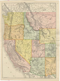
Antique Map of the Western United States, Denver to the Pacific Coast, 1899

Antique Map of the Western United States, Denver to the Pacific Coast, 1899

By Rand McNally & Co.

Located in Langweer, NL

For collectors of the American West, this antique map of the western United States by Rand McNally, 1899, is the firm's "New Commercial Map, Denver to Pacific Coast", a double-page s...

Category

Antique Late 19th Century American Late Victorian Maps
Materials

Paper

Antique Map of Colorado, The Centennial State, Rand McNally, 1899

Antique Map of Colorado, The Centennial State, Rand McNally, 1899

By Rand McNally & Co.

Located in Langweer, NL

An antique map of Colorado from Rand McNally's 1899 indexed atlas, this double-page spread on pages 324 and 325 shows the state county by county, from Rio Blanco, Garfield, Eagle, Gr...

Category

Antique Late 19th Century American Late Victorian Maps
Materials

Paper

Antique Map of Utah, The Beehive State, Rand McNally, 1899

Antique Map of Utah, The Beehive State, Rand McNally, 1899

By Rand McNally & Co.

Located in Langweer, NL

Rand McNally's antique map of Utah, published in Chicago in 1899 on page 321 of the firm's indexed atlas, shows the state county by county, from Box Elder, Cache and Rich in the nort...

Category

Antique Late 19th Century American Late Victorian Maps
Materials

Paper

Antique Map of Wyoming, The Cowboy State, Rand McNally, 1899

Antique Map of Wyoming, The Cowboy State, Rand McNally, 1899

By Rand McNally & Co.

Located in Langweer, NL

This antique map of Wyoming appeared on page 318 of Rand McNally's 1899 indexed atlas, and it shows the state county by county: Uinta, Sweetwater, Fremont, Natrona, Carbon, Albany, L...

Category

Antique Late 19th Century American Late Victorian Maps
Materials

Paper

You May Also Like

Large Original Antique Map of Arizona, Usa, C.1900

Large Original Antique Map of Arizona, Usa, C.1900

Located in St Annes, Lancashire

Fabulous map of Arizona Original color. Engraved and printed by the George F. Cram Company, Indianapolis. Published, C.1900. Unframed. Free shipping.

Category

Antique 1890s American Maps

Materials

Paper

Original Antique Map of the American State of Arizona & New Mexico, 1903

Original Antique Map of the American State of Arizona & New Mexico, 1903

Located in St Annes, Lancashire

Antique map of Arizona and New Mexico Published By A & C Black. 1903 Original colour Good condition Unframed. Free shipping

Category

Antique Early 1900s English Maps

Materials

Paper

Arizona and New Mexico. USA. Century Atlas state antique vintage map

Arizona and New Mexico. USA. Century Atlas state antique vintage map

Located in Melbourne, Victoria

'The Century Atlas. Arizona and New Mexico.' Original antique map, 1903. Central fold as issued. Map name and number printed on the reverse corners. Sheet 29.5cm by 40cm.

Category

Early 20th Century Victorian More Prints

Materials

Lithograph

Large Original Antique Map of Utah, USA, 1894

Large Original Antique Map of Utah, USA, 1894

By Rand McNally & Co.

Located in St Annes, Lancashire

Fabulous map of Utah Original color By Rand, McNally & Co. Published, 1894 Unframed Free shipping.

Category

Antique 1890s American Maps

Materials

Paper

Original Antique Map of the American State of Nevada, 1889

Original Antique Map of the American State of Nevada, 1889

Located in St Annes, Lancashire

Great map of Nevada Drawn and Engraved by W. & A.K. Johnston Published By A & C Black, Edinburgh. Original colour Unframed.

Category

Antique 1880s Scottish Victorian Maps

Materials

Paper

Large Original Antique Map of Nevada, USA, 1894

Large Original Antique Map of Nevada, USA, 1894

By Rand McNally & Co.

Located in St Annes, Lancashire

Fabulous map of Nevada Original color By Rand, McNally & Co. Published, 1894 Unframed Free shipping.

Category

Antique 1890s American Maps

Materials

Paper