Willem Blaeu

to
3
8
1
9
9
9
1
1
1
1
6
6
9
9
9
7
12,967
3,760
3,568
2,622
Creator: Willem Blaeu
Antique Engraving of Blaeu's first Map of Brazil, Circa 1640

Antique Engraving of Blaeu's first Map of Brazil, Circa 1640

By Willem Blaeu

Located in Langweer, NL

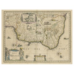
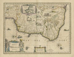
Antique map titled 'Novus Brasiliae Typus'. Fine old color example of Blaeu's first map of Brazil, with north oriented to the right. Includes inset map of Baya de todos Santos, elaborate cartouche, 2 compass roses and richly embellished vignettes of native Brazilian life and animals. The interior of the map includes vignettes of indigenous animals and native scenes, including cannibalism. Inset within a decorative border is a small map of "Baya de todos Sanctos". In the sea are monsters, a galleon and two compass roses. The large title cartouche features a male and female Brazilian, both of whom are shown naked. Willem Janszoon Blaeu (1571-1638) was a prominent Dutch geographer and publisher. Born the son of a herring merchant, Blaeu chose not fish but mathematics and astronomy for his focus. He studied with the famous Danish astronomer Tycho Brahe...

Category

Mid-17th Century Dutch Antique Willem Blaeu

Materials

Paper
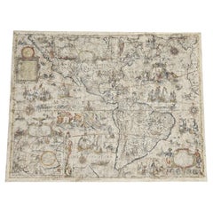
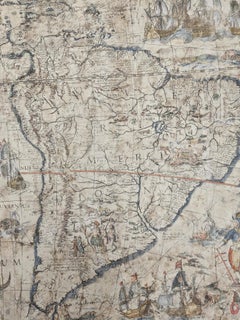
One of the most influential maps of America ever made, 17th Century Willem Blaeu

One of the most influential maps of America ever made, 17th Century Willem Blaeu

By Willem Blaeu

Located in ZWIJNDRECHT, NL

A rare and important 17th Century Italian Engraving of Willem Blaeu's Great Wall Map of America, "America quarta pars orbis quam plerunq, nuvum orbem apellitant primo detecta est ann...

Category

17th Century Dutch Dutch Colonial Antique Willem Blaeu

Materials

Paper, Linen

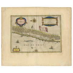
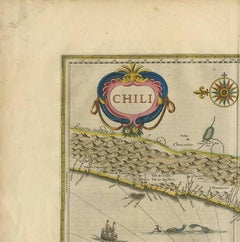
Antique Hand-Colored Map of Chili by Willem Blaeu, 1658

Antique Hand-Colored Map of Chili by Willem Blaeu, 1658

By Willem Blaeu

Located in Langweer, NL

Very decorative antique map of Chili published by W. Blaeu, 1658. This map depicts Chile from Copiapo southward to the island of Chiloé with ships and sea monsters adorning the sea. ...

Category

Mid-17th Century Dutch Antique Willem Blaeu

Materials

Paper
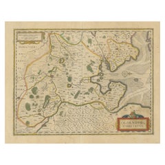
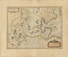
Antique Map of the Region of Oldenburg, Germany

Antique Map of the Region of Oldenburg, Germany

By Willem Blaeu

Located in Langweer, NL

Antique map titled 'Oldenburg Comitatus'. Detailed old map of Oldenburg, Germany. The map also shows Bremen and the Jade Bight. Published by W. Blaeu, circa 1640. Willem Jansz. Blaeu...

Category

Mid-17th Century Antique Willem Blaeu

Materials

Paper
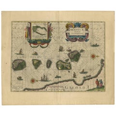
Antique Map of the Spice Islands 'Moluccas', Indonesia by W. Blaeu, circa 1640

Antique Map of the Spice Islands 'Moluccas', Indonesia by W. Blaeu, circa 1640

By Willem Blaeu

Located in Langweer, NL

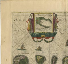
Antique map titled 'Moluccae Insulae Celeberrimae'. Highly decorative antique map of the Spice Islands (Moluccas) published by W. Blaeu (circa 1640). This map features a large inset ...

Category

Mid-17th Century Dutch Antique Willem Blaeu

Materials

Paper
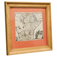
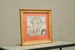
Willem Janszoon Blaeu Rare Original 17th Century Map of Ethiopia in a Pine Frame

Willem Janszoon Blaeu Rare Original 17th Century Map of Ethiopia in a Pine Frame

By Willem Blaeu

Located in Meer, VAN

Willem Janszoon Blaeu Rare Original 17th Century Map of Ethiopia in a Pine Frame Rare early 17th century map of Ethiopia by Willem Janszoon Blaeu. The Netherlands. A so called ‘'A...

Category

17th Century Antique Willem Blaeu

Materials

Pine, Paper
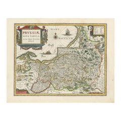
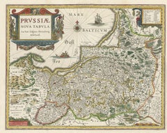
Antique Map of Prussia – Blaeu “Prussiae Nova Tabula”, c.1635

Antique Map of Prussia – Blaeu “Prussiae Nova Tabula”, c.1635

By Willem Blaeu

Located in Langweer, NL

Antique Map of Prussia – Blaeu “Prussiae Nova Tabula”, c.1635 Original antique engraved map titled “Prussiae Nova Tabula,” depicting the historic regio...

Category

Mid-17th Century Dutch Antique Willem Blaeu

Materials

Paper
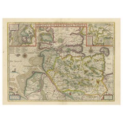
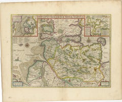
Original Antique Map of the Duchy of Holstein

Original Antique Map of the Duchy of Holstein

By Willem Blaeu

Located in Langweer, NL

Antique map titled 'Ducatus Holsatiae Nova Tabula'. Original old map of the Duchy of Holstein, the northernmost territory of the Holy Roman Empire, from the mid-17th Century. To the ...

Category

Mid-17th Century Antique Willem Blaeu

Materials

Paper

Related Items
Large 17th Century Hand Colored Map of England and the British Isles by de Wit

Large 17th Century Hand Colored Map of England and the British Isles by de Wit

By Frederick de Wit

Located in Alamo, CA

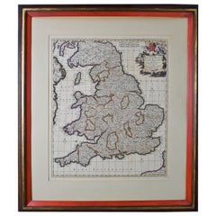
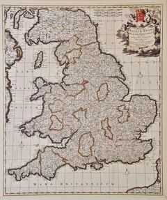
A large hand colored 17th century map of England and the British Isles by Frederick de Wit entitled "Accuratissima Angliæ Regni et Walliæ Principatus", published in Amsterdam in 1680. It is a highly detailed map of England, Scotland, the Scottish Isles...

Category

Late 17th Century Dutch Antique Willem Blaeu

Materials

Paper

Old Nautical Map of Corsica

Old Nautical Map of Corsica

$719

H 40.95 in W 27.96 in D 0.04 in

Old Nautical Map of Corsica

Located in Alessandria, Piemonte

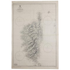
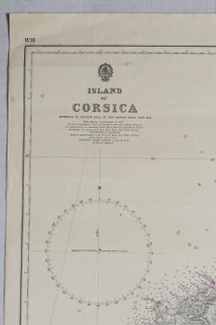
Old map of Corsica isle, surveyed by Captain Hell, of the French Royal Navy in 1824, engraved and published on 1874, with additions and corrections to 1...

Category

Early 19th Century English Other Antique Willem Blaeu

Materials

Paper

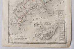
Antique Map of Principality of Monaco, Late 19th Century, Paper Print

Antique Map of Principality of Monaco, Late 19th Century, Paper Print

$347Sale Price|62% Off

H 22.84 in W 15.75 in D 0.04 in

Antique Map of Principality of Monaco, Late 19th Century, Paper Print

By Antonio Vallardi Editore

Located in Alessandria, Piemonte

"Old Geographical Atlas of Italy - Topographic map of ex-Principality of Monaco" - ediz Vallardi - Milano - A somewhat special edition --- ref. ST/619 -  

Category

Late 19th Century Italian Other Antique Willem Blaeu

Materials

Paper

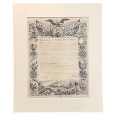
1864 Abraham Lincoln's Emancipation Proclamation, Antique Engraving by W Roberts

1864 Abraham Lincoln's Emancipation Proclamation, Antique Engraving by W Roberts

Located in Colorado Springs, CO

Presented is a Proclamation of Emancipation wood engraving by W. Roberts. The engraving was published in 1864, just one year after President Abraham Lincoln signed the original Proclamation.  W. Roberts was the artist and engraver and Corydon Alexis Alvord was the printer. The engraving was published by R. A Dimmick, in New York, 1864. The text of the Proclamation is set in a variety of typefaces, which is encased in a pictorial border. The border is decorated with a portrait of Abraham Lincoln and seven other vignettes, including the horrors of slavery at left, the bombardment of Fort Sumter at bottom, and scenes from a prosperous and united nation at right.  On September 22, 1862, five days after the Union victory at the Battle of Antietam, Lincoln issued a preliminary decree stating that, unless the rebellious states returned to the Union by January 1, freedom would be granted to slaves within those states.  No Confederate states took the offer, and on January 1, 1863 Lincoln presented the Emancipation Proclamation...

Category

1860s American Victorian Antique Willem Blaeu

Materials

Paper

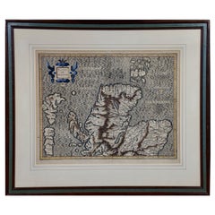
Northern Scotland: A 16th Century Hand-colored Map by Mercator

Northern Scotland: A 16th Century Hand-colored Map by Mercator

By Gerard Mercator

Located in Alamo, CA

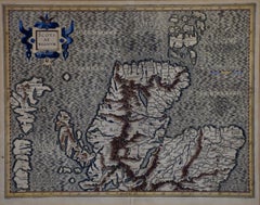
A framed hand-colored 16th century map of Northern Scotland by Gerard Mercator entitled "Scotiae pars Septentrionalis", published in Amsterdam in 1636. It is a highly detailed map of the northern part of Scotland, with the northwest Highlands and the cities Inverness and Aberdeen, as well as the Orkney Islands and the Hebrides. There is a decorative title cartouche in the upper left corner. The map is presented in an antiqued brown wood...

Category

16th Century Dutch Antique Willem Blaeu

Materials

Paper

Map of the Republic of Genoa

Map of the Republic of Genoa

$750

H 22.5 in W 25.75 in D 0.75 in

Map of the Republic of Genoa

Located in New York, NY

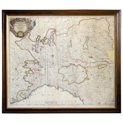
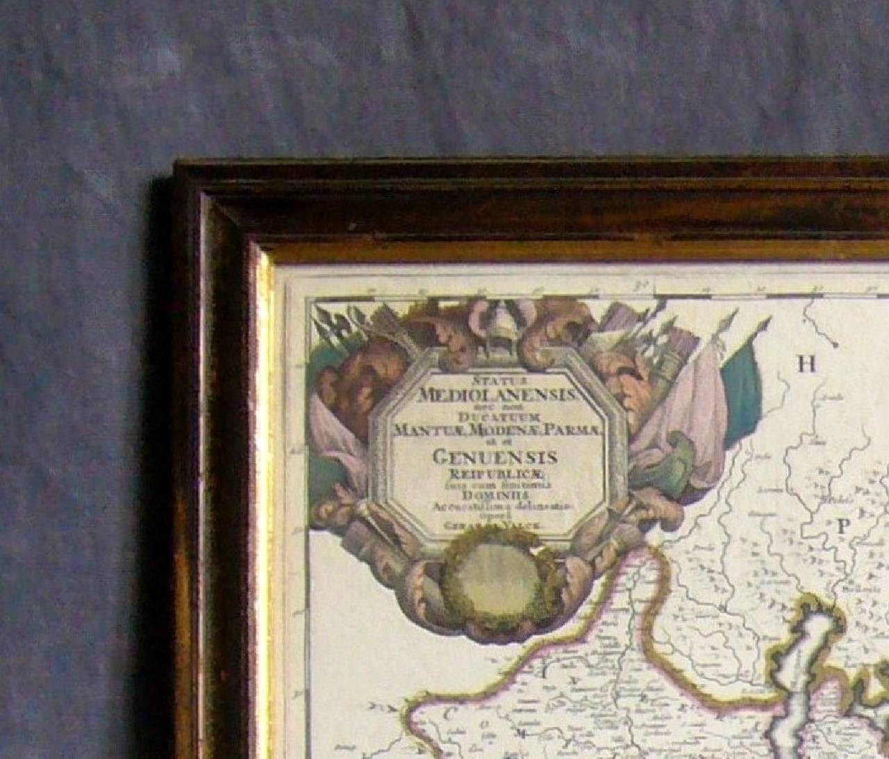
Framed antique hand-coloured map of the Republic of Genoa including the duchies of Mantua, Modena, and Parma. Europe, late 18th century. Dimension: 25...

Category

Late 18th Century European Antique Willem Blaeu

Antique 18th Century Map of the Province of Pensilvania 'Pennsylvania State'

Antique 18th Century Map of the Province of Pensilvania 'Pennsylvania State'

Located in Philadelphia, PA

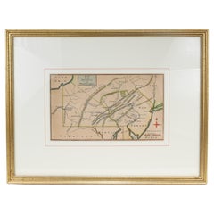
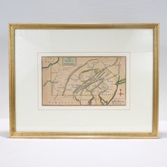
A fine antique of the colony of Pennsylvania. Noted at the top of the sheet as a 'Map of the province of Pensilvania'. This undated and anonymous map is thought to be from the Gentleman's Magazine, London, circa 1775, although the general appearance could date it to the 1760's. The southern boundary reflects the Mason-Dixon survey (1768), the western boundary is placed just west of Pittsburgh, and the northern boundary is not marked. The map has a number of reference points that likely refer to companion text and appear to be connected to boundaries. The western and southern boundaries are marked Q, R, S, for example. A diagonal line runs from the Susquehanna R to the Lake Erie P. A broken line marked by many letters A, B, N, O, etc., appears in the east. There are no latitude or longitude markings, blank verso. Framed in a shaped contemporary gilt wooden frame and matted under a cream colored matte. Bearing an old Graham Arader Gallery...

Category

18th Century British American Colonial Antique Willem Blaeu

Materials

Paper

Large Original Antique Map of The Greek Islands. 1894

Large Original Antique Map of The Greek Islands. 1894

Located in St Annes, Lancashire

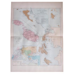
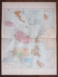
Superb Antique map of The Greek Islands Published Edward Stanford, Charing Cross, London 1894 Original colour Good condition Unframed. Free shipping

Category

1890s English Antique Willem Blaeu

Materials

Paper

Vintage "View of the Center of Paris Taken from the Air" Lithograph Map

Vintage "View of the Center of Paris Taken from the Air" Lithograph Map

Located in San Diego, CA

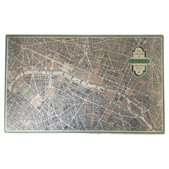
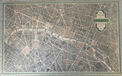
A very stylish "View of the Center of Paris Taken from the Air" lithograph map published by the Paris Ministry of Tourism, circa early 1950s. The piece measures 27" x 43" and shows...

Category

20th Century French Mid-Century Modern Willem Blaeu

Materials

Paper

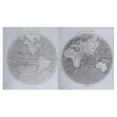
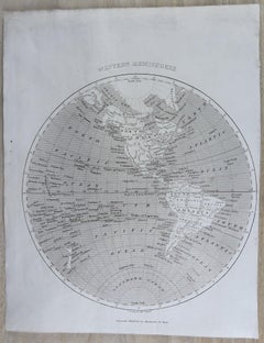
Original Antique Map of The World by Thomas Clerk, 1817

Original Antique Map of The World by Thomas Clerk, 1817

$90 / set

H 10.25 in W 8.25 in D 0.07 in

Original Antique Map of The World by Thomas Clerk, 1817

Located in St Annes, Lancashire

Great map of The Eastern and Western Hemispheres On 2 sheets Copper-plate engraving Drawn and engraved by Thomas Clerk, Edinburgh. Published by Mackenzie And Dent, 1817 ...

Category

1810s English Antique Willem Blaeu

Materials

Paper

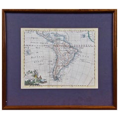
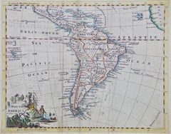
South America: Hand-colored 18th Century Framed Map by Thomas Jefferys

South America: Hand-colored 18th Century Framed Map by Thomas Jefferys

By Thomas Jefferys

Located in Alamo, CA

This detailed hand-colored map of South America by Thomas Jefferys was published in London in 1750. The map shows countries, early colonial possessions, towns, rivers, mountains, and...

Category

Mid-18th Century English Antique Willem Blaeu

Materials

Paper

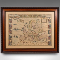
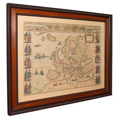
Vintage Reproduction 17th Century Map of Europe, American, Cartography, Blaeuw

Vintage Reproduction 17th Century Map of Europe, American, Cartography, Blaeuw

$997Sale Price|20% Off

H 30.32 in W 38.39 in D 1.38 in

Vintage Reproduction 17th Century Map of Europe, American, Cartography, Blaeuw

Located in Hele, Devon, GB

This is a vintage reproduction map of Europe. An American, paper stock cartography print in frame after the work by Blaeuw, dating to the late 20t...

Category

Late 20th Century Central American Mid-Century Modern Willem Blaeu

Materials

Glass, Wood, Paper

Previously Available Items
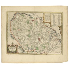
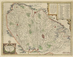
Antique Map of the Region of Le Mans 'France' by Blaeu, circa 1640

Antique Map of the Region of Le Mans 'France' by Blaeu, circa 1640

By Willem Blaeu

Located in Langweer, NL

Antique Map: Cenomanorum Galliae regionis typus vulgo le Mans – Blaeu, circa 1640 This beautifully engraved and hand-colored map depicts the historical province of Maine in northw...

Category

Mid-17th Century Antique Willem Blaeu

Materials

Paper

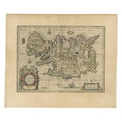
Antique Map of Iceland by Blaeu, circa 1640

Antique Map of Iceland by Blaeu, circa 1640

Sold

H 21.07 in W 24.61 in D 0.02 in

Antique Map of Iceland by Blaeu, circa 1640

By Willem Blaeu

Located in Langweer, NL

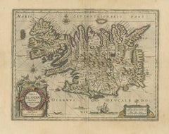
Antique map titled 'Tabula Islandiae'. Beautiful map of Iceland, including an erupting volcano, sea monsters, sailing ships, decorative cartouches, compass rose and the spectacular l...

Category

Mid-17th Century Antique Willem Blaeu

Materials

Paper

Willem Blaeu furniture for sale on 1stDibs.

Willem Blaeu furniture are available for sale on 1stDibs. These distinctive items are frequently made of paper and are designed with extraordinary care. There are many options to choose from in our collection of Willem Blaeu furniture, although beige editions of this piece are particularly popular. Prices for Willem Blaeu furniture can differ depending upon size, time period and other attributes — on 1stDibs, these items begin at $488 and can go as high as $555,872, while a piece like these, on average, fetch $708.