F. Valentijn More Furniture and Collectibles

to
10
10

Use search to find more

10
9

Use search to find more

85
288
249
221
213

Use search to find more

Creator: F. Valentijn
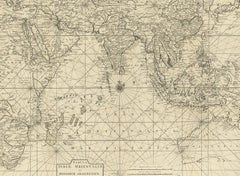
Antique Map of South East Asia, Australia and the Indian Ocean, 1726

Antique Map of South East Asia, Australia and the Indian Ocean, 1726

By F. Valentijn

Located in Langweer, NL

Antique map titled 'Tabula Indiae Orientalis'. Beautiful detailed map of Australia, Southeast Asia and the Indian Ocean. The map features a fine depiction of the outlines of the western two-thirds of Australia, based on the discoveries of explorers working for the Dutch East India Company (the VOC). These include Willem Jansz's discoveries in the Gulf of Carpentaria in 1606; the encounters of Dirk...

Category

Mid-18th Century Dutch Antique F. Valentijn More Furniture and Collectibles

Materials

Paper
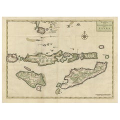
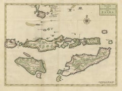
Old Antique Map of the Sumbawa, Flores, Timor in the Banda Region of Indonesia

Old Antique Map of the Sumbawa, Flores, Timor in the Banda Region of Indonesia

By F. Valentijn

Located in Langweer, NL

Original antique map titled 'Kaart der Zuyd-Wester Eylanden van Banda'. A fascinating map of the islands in the southwestern part of the Banda Sea including Sumba, Flores and Timor. Published 1724-1726 by Joannes van Braam...

Category

Early 18th Century Antique F. Valentijn More Furniture and Collectibles

Materials

Paper
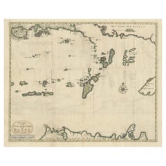
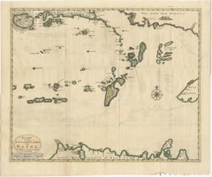
Old Antique Map of the Banda Islands (Southeast), Indonesia & Northern Australia

Old Antique Map of the Banda Islands (Southeast), Indonesia & Northern Australia

By F. Valentijn

Located in Langweer, NL

Original antique map titled 'Kaart van de Zuyd-Ooster Eylanden van Banda'. Important map of the seas and islands surrounding the Banda Islands, Indonesia, extending south to northern Australia, east to Papua New Guinea and north to Ceram. Published 1724-1726 by Joannes van Braam...

Category

Early 18th Century Antique F. Valentijn More Furniture and Collectibles

Materials

Paper
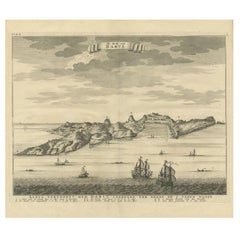
Antique Print of the Coast of Dabhol 'India', 1726

Antique Print of the Coast of Dabhol 'India', 1726

By F. Valentijn

Located in Langweer, NL

Antique print titled 'De Kust van Dabul'. Antique print of the coastline near Dabhol in India. This print originates from 'Oud en Nieuw Oost-Indiën' by F. Valentijn.

Category

Early 18th Century Dutch Antique F. Valentijn More Furniture and Collectibles

Materials

Paper
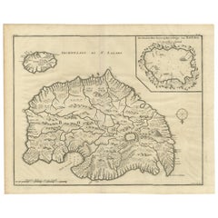
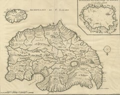
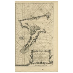
Antique Map of Anjouan Island by Valentijn, 1726

Antique Map of Anjouan Island by Valentijn, 1726

By F. Valentijn

Located in Langweer, NL

Antique map titled 'Anzuany'. This map depicts the island of Anjouan, one of the Comoros islands situated between Madagascar and Africa. The map is oriented with north to the left wi...

Category

Early 18th Century Dutch Antique F. Valentijn More Furniture and Collectibles

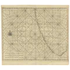
Antique Map of Malabar Coast by Valentijn, 1726

Antique Map of Malabar Coast by Valentijn, 1726

By F. Valentijn

Located in Langweer, NL

Untitled sea chart of the coast of Malabar, India. This print originates from 'Oud en Nieuw Oost-Indiën' by F. Valentijn.

Category

Early 18th Century Dutch Antique F. Valentijn More Furniture and Collectibles

Materials

Paper
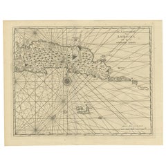
Antique Map of Ambon and Surroundings by Valentijn '1726'

Antique Map of Ambon and Surroundings by Valentijn '1726'

By F. Valentijn

Located in Langweer, NL

Antique map titled 'De landvoogdy van Amboina met de elf onderhoorige Eylanden'. Decorative map of the eastern tip of the islands of Ambon, Indonesia. This print originates from 'Oud...

Category

Early 18th Century Dutch Antique F. Valentijn More Furniture and Collectibles

Materials

Paper

Antique Map of Ambon and Boero by Valentijn, 1726

Antique Map of Ambon and Boero by Valentijn, 1726

By F. Valentijn

Located in Langweer, NL

Untitled map of the western part of the island Amboina with Boero, Indonesia. This print originates from 'Oud en Nieuw Oost-Indiën' by F. Valentijn.

Category

Early 18th Century Dutch Antique F. Valentijn More Furniture and Collectibles

Materials

Paper
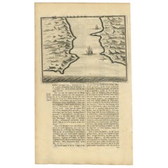
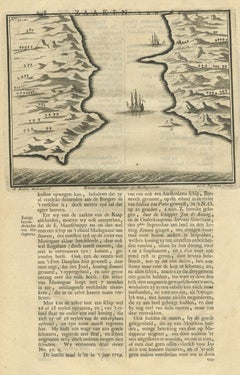
Antique Print of a River in Madagascar by Valentijn, 1726

Antique Print of a River in Madagascar by Valentijn, 1726

By F. Valentijn

Located in Langweer, NL

Antique print titled 'Rivier van Maningaar op Madagascar'. Text on verso. This print originates from 'Oud en Nieuw Oost-Indiën' by F. Valentijn. According to Valentijn, there was a D...

Category

Early 18th Century Dutch Antique F. Valentijn More Furniture and Collectibles

Materials

Paper

Antique Map of Boero in Indonesia by Valentijn, 1726

Antique Map of Boero in Indonesia by Valentijn, 1726

By F. Valentijn

Located in Langweer, NL

Antique map titled 'Boero-Amblauw'. Detailed map of the Island Ambelau and Buru, Maluku Islands, Indonesia. With an inset of the lake on the Buru mountains. This print originates fro...

Category

Early 18th Century Dutch Antique F. Valentijn More Furniture and Collectibles

Materials

Paper
Related Items
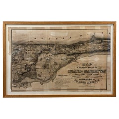
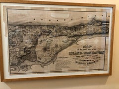
1868 Map of the Upper Part of the Island of Manhattan Above 86th Street

1868 Map of the Upper Part of the Island of Manhattan Above 86th Street

By Wm. Rogers Mfg. Co.

Located in San Francisco, CA

This wonderful piece of New York City history is over 150 years old. It depicts 86th street and above. It was lithographed by WC Rogers and company. It was made to show what was the Battle of Harlem during the Revolutionary war...

Category

1860s American American Colonial Antique F. Valentijn More Furniture and Collectibles

Materials

Paper

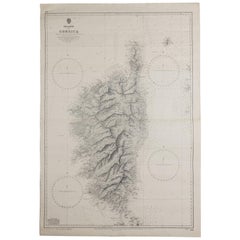
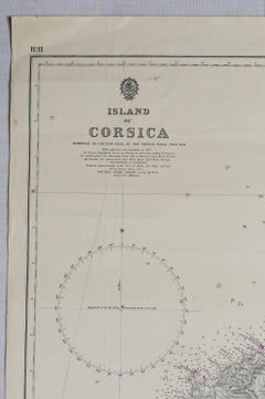
Old Nautical Map of Corsica

Old Nautical Map of Corsica

$718

H 40.95 in W 27.96 in D 0.04 in

Old Nautical Map of Corsica

Located in Alessandria, Piemonte

Old map of Corsica isle, surveyed by Captain Hell, of the French Royal Navy in 1824, engraved and published on 1874, with additions and corrections to 1...

Category

Early 19th Century English Other Antique F. Valentijn More Furniture and Collectibles

Materials

Paper
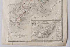
Antique Map of Principality of Monaco, Late 19th Century, Paper Print

Antique Map of Principality of Monaco, Late 19th Century, Paper Print

$346Sale Price|62% Off

H 22.84 in W 15.75 in D 0.04 in

Antique Map of Principality of Monaco, Late 19th Century, Paper Print

By Antonio Vallardi Editore

Located in Alessandria, Piemonte

"Old Geographical Atlas of Italy - Topographic map of ex-Principality of Monaco" - ediz Vallardi - Milano - A somewhat special edition --- ref. ST/619 -  

Category

Late 19th Century Italian Other Antique F. Valentijn More Furniture and Collectibles

Materials

Paper
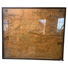
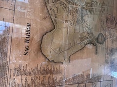
Framed Mid-19th Century Wall Map of Long Island, the Hamptons

Framed Mid-19th Century Wall Map of Long Island, the Hamptons

Located in Sag Harbor, NY

A Framed museum quality find. This large wall map dates to the mid-1800s. Detailed inset maps of, Sag Harbor, East Hampton, Amagansett, Shelter Island and most villages in Long Island. It also has agriculture stats for 1855. Detailed prints of homes on Scuttle Hole in Bridgehampton as well as several other detailed prints. Lists of businesses, distance tables and railroad schedules and stops. The total amount of detailed information about Suffolk County Long Island is staggering. A unique rare New York map...

Category

Mid-19th Century American Antique F. Valentijn More Furniture and Collectibles

Materials

Linen, Paper

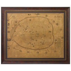
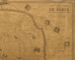
Plan of Paris, France, by A. Vuillemin, Antique Map, 1845

Plan of Paris, France, by A. Vuillemin, Antique Map, 1845

Located in Colorado Springs, CO

This large and detailed plan of Paris was published by Alexandre Vuillemin in 1845. The map conveys a wonderful amount of information and is decorated throughout with pictorial vigne...

Category

1840s American Antique F. Valentijn More Furniture and Collectibles

Materials

Paper

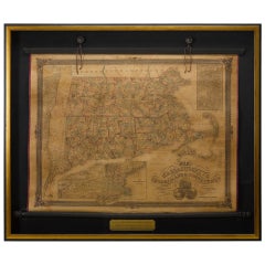
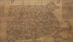
1854 Map of Massachusetts, Connecticut and Rhode Island, Antique Wall Map

1854 Map of Massachusetts, Connecticut and Rhode Island, Antique Wall Map

Located in Colorado Springs, CO

This striking wall map was published in 1854 by Ensign, Bridgman & Fanning and has both full original hand-coloring and original hardware. This impression is both informative and highly decorative. The states are divided into counties, outlined in red, green, and black, and subdivided into towns. Roads, canals, and railroad lines are prominently depicted, although they are not all labeled. The mapmakers also marked lighthouses, banks, churches, and prominent buildings, with a key at right. The map is an informative and comprehensive overview of the infrastructural development of New England prior to the Civil War. Physical geographies depicted include elevation, conveyed with hachure marks, rivers and lakes. The impression features an inset map of Boston...

Category

19th Century American Antique F. Valentijn More Furniture and Collectibles

Materials

Paper

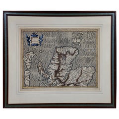
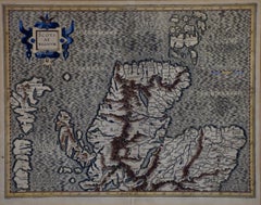
Northern Scotland: A 16th Century Hand-colored Map by Mercator

Northern Scotland: A 16th Century Hand-colored Map by Mercator

By Gerard Mercator

Located in Alamo, CA

A framed hand-colored 16th century map of Northern Scotland by Gerard Mercator entitled "Scotiae pars Septentrionalis", published in Amsterdam in 1636. It is a highly detailed map of the northern part of Scotland, with the northwest Highlands and the cities Inverness and Aberdeen, as well as the Orkney Islands and the Hebrides. There is a decorative title cartouche in the upper left corner. The map is presented in an antiqued brown wood...

Category

16th Century Dutch Antique F. Valentijn More Furniture and Collectibles

Materials

Paper

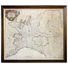
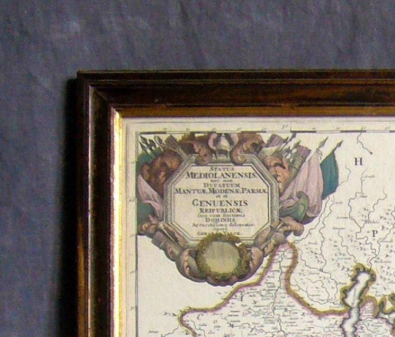
Map of the Republic of Genoa

Map of the Republic of Genoa

$750

H 22.5 in W 25.75 in D 0.75 in

Map of the Republic of Genoa

Located in New York, NY

Framed antique hand-coloured map of the Republic of Genoa including the duchies of Mantua, Modena, and Parma. Europe, late 18th century. Dimension: 25...

Category

Late 18th Century European Antique F. Valentijn More Furniture and Collectibles

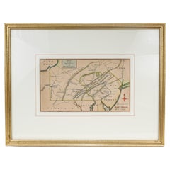
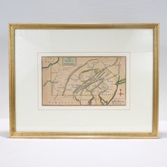
Antique 18th Century Map of the Province of Pensilvania 'Pennsylvania State'

Antique 18th Century Map of the Province of Pensilvania 'Pennsylvania State'

Located in Philadelphia, PA

A fine antique of the colony of Pennsylvania. Noted at the top of the sheet as a 'Map of the province of Pensilvania'. This undated and anonymous map is thought to be from the Gentleman's Magazine, London, circa 1775, although the general appearance could date it to the 1760's. The southern boundary reflects the Mason-Dixon survey (1768), the western boundary is placed just west of Pittsburgh, and the northern boundary is not marked. The map has a number of reference points that likely refer to companion text and appear to be connected to boundaries. The western and southern boundaries are marked Q, R, S, for example. A diagonal line runs from the Susquehanna R to the Lake Erie P. A broken line marked by many letters A, B, N, O, etc., appears in the east. There are no latitude or longitude markings, blank verso. Framed in a shaped contemporary gilt wooden frame and matted under a cream colored matte. Bearing an old Graham Arader Gallery...

Category

18th Century British American Colonial Antique F. Valentijn More Furniture and Collectibles

Materials

Paper

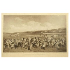
Antique Golf Print, Royal North Devon Golf Club, Photogravure of Westward Ho

Antique Golf Print, Royal North Devon Golf Club, Photogravure of Westward Ho

Located in Oxfordshire, GB

Royal North Devon Golf Club 1893 by Mayall & Co. Ltd. A great image of the members of the 'Royal North Devon Golf Club, Westward Ho!' from 1893. The figures are all photographs superimposed onto a painted background of the course. In the margin is printed 'Permanent Autotype, Produced by Mayall & Co. Ltd. 73 Piccadilly'. The image appears very much photographic but is more of a photomechanical print rather than a photograph. John Jabez Edwin Paisley Mayall (1813-1901) was an English photographer who in 1860 took the first carte-de-visite photographs of Queen Victoria. Taken from Royal North Devon:- Royal North Devon at Westward Ho! Can rightly claim to be the cradle of English Golf. Founded in 1864, it is the oldest golf course in the country and is regarded as the St Andrews of the South. The golf course is as tough as any of the UK's more famous links layouts and has recently been placed in Golf World 's 'Top 100 Courses in the World' that a golfer 'must play'. Not only is Royal North Devon a great course, it is also a place of huge historical importance. Inside the warmly welcoming clubhouse, the golf museum, honours boards and the clubs top competition trophies are worth a visit on their own and help to tell the story of the game and this remarkable club's unique place in it. Above all, this is great, natural golf that is largely unchanged from 100 years ago when Harold Hilton et al pronounced Westward Ho! As England's No 1 competition golf course. RND is pure, raw exhilaration and ultimately the experience of playing a fast running links in a stiff breeze still tests the very best in the game. Many of the great players of the last 100 years were regular competitors at RND but the greatest of them all is without doubt John Henry Taylor...

Category

1890s British Sporting Art Antique F. Valentijn More Furniture and Collectibles

Materials

Paper

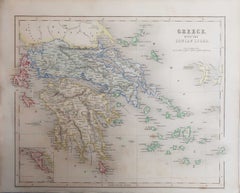
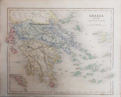
Original Antique Map of Greece, Grattan and Gilbert, 1843

Original Antique Map of Greece, Grattan and Gilbert, 1843

Located in St Annes, Lancashire

Great map of Greece Drawn and engraved by J.Archer Published by Grattan and Gilbert. 1843 Original colour Unframed. Free shipping

Category

1840s English Antique F. Valentijn More Furniture and Collectibles

Materials

Paper

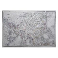
Large Original Antique Map of Asia by Sidney Hall, 1847

Large Original Antique Map of Asia by Sidney Hall, 1847

$40Sale Price|20% Off

H 12.25 in W 17.25 in D 0.07 in

Large Original Antique Map of Asia by Sidney Hall, 1847

Located in St Annes, Lancashire

Great map of Asia Drawn and engraved by Sidney Hall Steel engraving Original colour outline Published by A & C Black. 1847 Unframed Free shipping

Category

1840s Scottish Antique F. Valentijn More Furniture and Collectibles

Materials

Paper

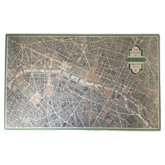
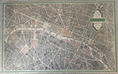
Vintage "View of the Center of Paris Taken from the Air" Lithograph Map

Vintage "View of the Center of Paris Taken from the Air" Lithograph Map

Located in San Diego, CA

A very stylish "View of the Center of Paris Taken from the Air" lithograph map published by the Paris Ministry of Tourism, circa early 1950s. The piece measures 27" x 43" and shows...

Category

20th Century French Mid-Century Modern F. Valentijn More Furniture and Collectibles

Materials

Paper

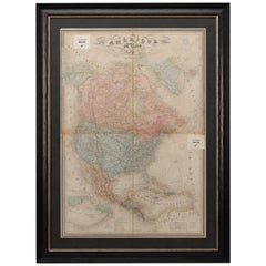
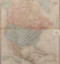
1864 Map of North America, Antique Hand-Colored Map, by Adolphe Hippolyte Dufour

1864 Map of North America, Antique Hand-Colored Map, by Adolphe Hippolyte Dufour

Located in Colorado Springs, CO

Offered is a map of North America entitled Amerique du Nord from 1864. This rare, separately published wall map was produced by Adolphe Hippolyte Dufour. This map includes vibrant an...

Category

1860s French Antique F. Valentijn More Furniture and Collectibles

Materials

Paper

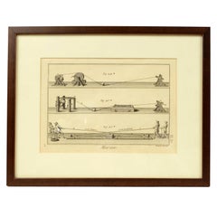
Engraving Print from the Panckoucke Encyclopédie Nautical Subject, 1782-1832

Engraving Print from the Panckoucke Encyclopédie Nautical Subject, 1782-1832

Located in Milan, IT

Print by engraving on copper plate from the Panckoucke Encyclopédie méthodique, end of the 18th century, volume Marine Planches (more than 1,500 figures dealing with all subjects on the marina: planes, construction, carpentry, tree trunks, armaments of maneuvers, ropes, sails, artillery, ship maneuvers and combat tactics). This is the plate no. n. 26, pag. 70 fig. 350-353; with frame cm 38.3 x 31.5. Ship ropes are depicted. The Print has the "Benard direxit...

Category

1790s French Antique F. Valentijn More Furniture and Collectibles

Materials

Paper

Previously Available Items
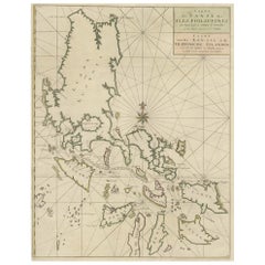
Original Old Map with Many Details Around Manilla in the Philippine Islands

Original Old Map with Many Details Around Manilla in the Philippine Islands

By F. Valentijn

Located in Langweer, NL

Original antique map titled 'Carte du Canal des Iles Philippines (..) - Kaart van het Kanaal in de Filippynsche Eilanden (..)'. Striking and highly detailed chart of the Islands of the Philippines. Shows Islands, bays, reefs, soundings tracks of the Manila Galleon route, etc. Published 1724-1726 by Joannes van Braam...

Category

Early 18th Century Antique F. Valentijn More Furniture and Collectibles

Materials

Paper

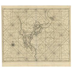
Antique Map of the Soeratta River by Valentijn, 1726

Antique Map of the Soeratta River by Valentijn, 1726

Sold

H 13.19 in W 14.97 in D 0.02 in

Antique Map of the Soeratta River by Valentijn, 1726

By F. Valentijn

Located in Langweer, NL

Sea chart titled 'De Rievier van Suratta'. Suratte or Soeratte was a famous trading city on the north coast of what is now India, in the modern state of Gujarat, lying on the river T...

Category

Early 18th Century Dutch Antique F. Valentijn More Furniture and Collectibles

Materials

Paper
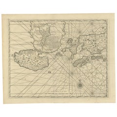
Antique Map of Ambon Island by Valentijn, 1726

Antique Map of Ambon Island by Valentijn, 1726

Sold

H 13.39 in W 16.93 in D 0.02 in

Antique Map of Ambon Island by Valentijn, 1726

By F. Valentijn

Located in Langweer, NL

Antique map titled 'Caart van het Eyland Amboina in 't bijsonder'. Map of the Islands Ambon and Timor, one of the Moluccan Islands, Indonesia, with an inset of castle Victoria with t...

Category

Early 18th Century Dutch Antique F. Valentijn More Furniture and Collectibles

Materials

Paper
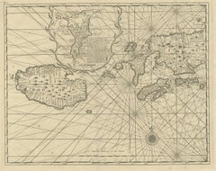
F. Valentijn more furniture and collectibles for sale on 1stDibs.

F. Valentijn more furniture and collectibles are available for sale on 1stDibs. These distinctive items are frequently made of paper and are designed with extraordinary care. There are many options to choose from in our collection of F. Valentijn more furniture and collectibles, although beige editions of this piece are particularly popular. If you’re looking for additional options, many customers also consider more furniture and collectibles by Isaak Tirion, Nicolaes Visscher II, and Gerard Mercator. Prices for F. Valentijn more furniture and collectibles can differ depending upon size, time period and other attributes — on 1stDibs, these items begin at $130 and can go as high as $5,597, while a piece like these, on average, fetch $513.