Joan Blaeu

to
39
128
6
133
131
95
17
7
6
3
3
2
2
2
1
1
24
1
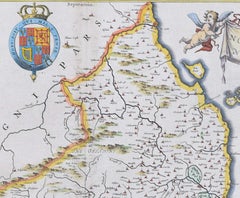
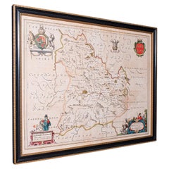
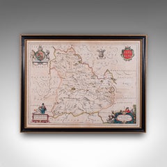
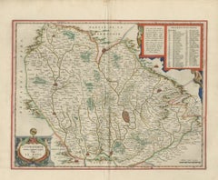
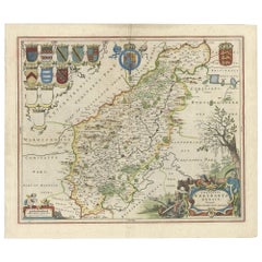
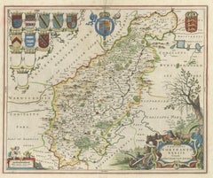
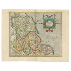
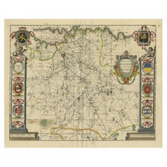
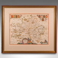
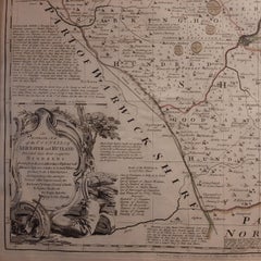
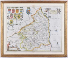
Map of Northumberland by Joan Blaeu

Map of Northumberland by Joan Blaeu

By Joan (Johannes) Blaeu

Located in London, GB

To see our other original maps, scroll down to "More from this Seller" and below it click on "See all from this Seller" - or send us a message if you cannot find the poster you want....

Category

1660s Landscape Prints

Materials

Engraving

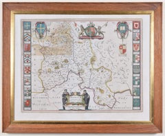
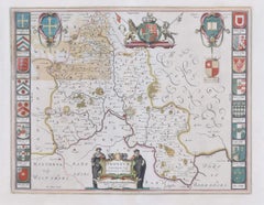
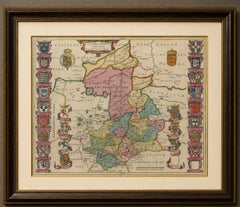
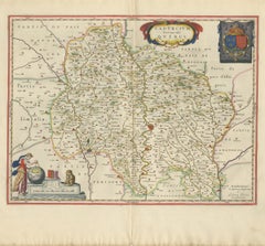
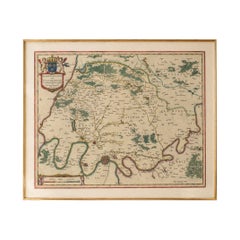
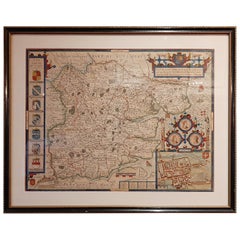
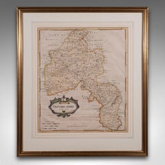
Map of Oxfordshire by Joan Blaeu with college crests

Map of Oxfordshire by Joan Blaeu with college crests

By Joan (Johannes) Blaeu

Located in London, GB

To see our other original maps, scroll down to "More from this Seller" and below it click on "See all from this Seller" - or send us a message if you cannot find the poster you want....

Category

1660s Landscape Prints

Materials

Engraving

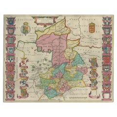
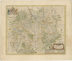
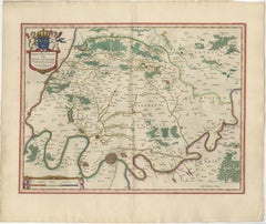
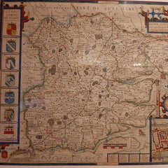
Antique Map of Cambridgeshire & Cambridge by Joan Blaeu, Hand-Colored, 1645

Antique Map of Cambridgeshire & Cambridge by Joan Blaeu, Hand-Colored, 1645

Located in Langweer, NL

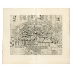
TITLE: Antique Map of Cambridgeshire & Cambridge by Joan Blaeu, Hand-Colored, 1645 DESCRIPTION: A highly decorative 17th-century map of Cambridgeshire by the great Dutch cartographe...

Category

Antique Mid-17th Century Dutch Baroque Maps

Materials

Paper

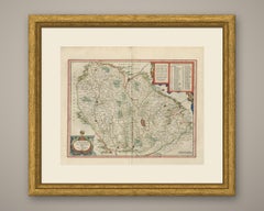
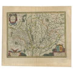
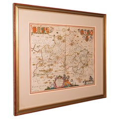
Antique Map of Breconshire, Dutch, Atlas Cartography, Joan Blaeu, Wales, C.1660

Antique Map of Breconshire, Dutch, Atlas Cartography, Joan Blaeu, Wales, C.1660

Located in Hele, Devon, GB

A Dutch, framed Welsh county map by Joan Blaeu (1596 - 1673) with dual sided atlas excerpt, dating to the mid 17th century, published 1660.

Category

Antique 1660s Dutch Charles II Maps

Materials

Glass, Paper

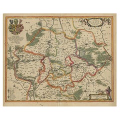
Bishopric of Hildesheim Map in Northern Germany by Willem & Joan Blaeu, 1645

Bishopric of Hildesheim Map in Northern Germany by Willem & Joan Blaeu, 1645

Located in Langweer, NL

- Cartographer: Willem Blaeu and Joan Blaeu - Title: Episcopatus Hildesiensis Descriptio Novissima - Publication: Amsterdam, Blaeu Publishing, 1645 - Description: Antique m...

Category

Antique 1640s Dutch Maps

Materials

Paper

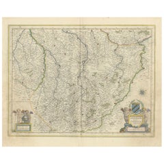
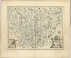
Original Antique Map of Trier and Luxembourg by Joan Blaeu, Amsterdam circa 1640

Original Antique Map of Trier and Luxembourg by Joan Blaeu, Amsterdam circa 1640

Located in Langweer, NL

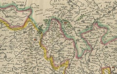
Joan Blaeu (1596–1673), the son of Willem Janszoon Blaeu, was a master mapmaker who continued and expanded his family’s cartographic legacy.

Category

Antique Mid-17th Century Dutch Maps

Materials

Paper

1643 Willem&Joan Blaeu Map NW Flanders "Flandriae Teutonicae Pars Prientalior

1643 Willem&Joan Blaeu Map NW Flanders "Flandriae Teutonicae Pars Prientalior

Located in Norton, MA

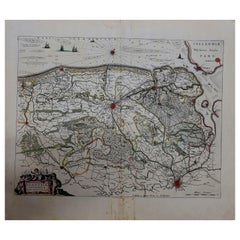
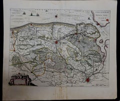
1643 Willem and Joan Blaeu map of northwest Flanders, entitled "Flandriae Teutonicae Pars Prientalior," Ric0012 " Authentic" - Map of the northwest Flanders, entitled "Flandria...

Category

Antique 17th Century Dutch Maps

Materials

Paper

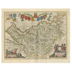
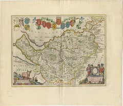
Antique Map of Cheshire, North West England

Antique Map of Cheshire, North West England

By Joan (Johannes) Blaeu

Located in Langweer, NL

Published circa 1665 by J. Blaeu. Willem Jansz. Blaeu and his son Joan Blaeu are the most widely known cartographic publishers of the seventeenth century.

Category

Antique Mid-17th Century Maps

Materials

Paper

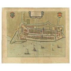
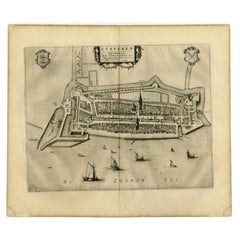
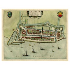
Antique Map of Stavoren by Blaeu, 1649

Antique Map of Stavoren by Blaeu, 1649

Located in Langweer, NL

Artist: Joan Blaeu was a Dutch cartographer born in Alkmaar, the son of cartographer Willem Blaeu.

Category

Antique 17th Century Maps

Materials

Paper

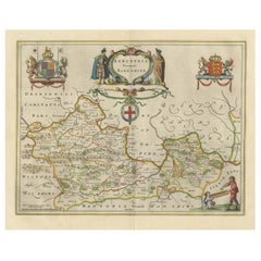
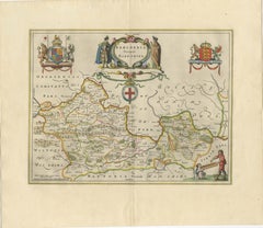
Antique Map of Berkshire, South East England

Antique Map of Berkshire, South East England

By Joan (Johannes) Blaeu

Located in Langweer, NL

Published circa 1665 by J. Blaeu. Willem Jansz. Blaeu and his son Joan Blaeu are the most widely known cartographic publishers of the seventeenth century.

Category

Antique Mid-17th Century Maps

Materials

Paper

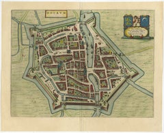
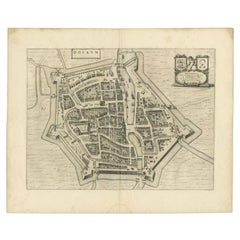
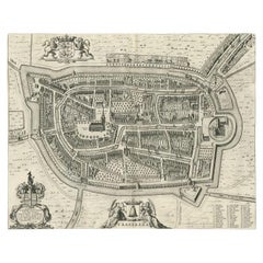
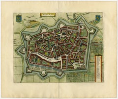
Antique Map of the City of Dokkum, Friesland by Blaeu, c.1650

Antique Map of the City of Dokkum, Friesland by Blaeu, c.1650

Located in Langweer, NL

Originates from the town atlas 'Toneel der Steden', published by Joan Blaeu. Artists and Engravers: Cartographer and publisher: Joan Blaeu'.

Category

Antique 17th Century Maps

Materials

Paper

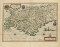
Antique Blaeu Map of Provence, Nice and the Mediterranean Coast, 1642

Antique Blaeu Map of Provence, Nice and the Mediterranean Coast, 1642

By Joan (Johannes) Blaeu

Located in Langweer, NL

Willem Jansz Blaeu began the atlas that his son Joan Blaeu carried to its full extent, and the Dutch text edition, Toonneel des Aerdriicx ofte Nieuwe Atlas, set a standard for engrav...

Category

Antique Mid-17th Century Dutch Maps

Materials

Paper

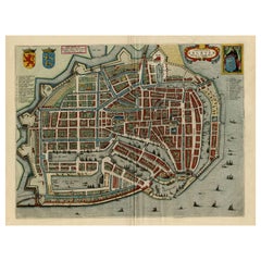
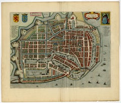
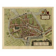
Beautiful Bird's-Eye View Plan of Enkhuizen in The Netherlands by Blaeu, 1649

Beautiful Bird's-Eye View Plan of Enkhuizen in The Netherlands by Blaeu, 1649

Located in Langweer, NL

This plan originates from the famous city Atlas: 'Toneel der Steeden' published by Joan Blaeu 1649. Artists and Engravers: Made by 'Joan Blaeu' after 'Cornelis Biens'.

Category

Antique 1640s Maps

Materials

Paper

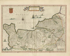
Antique Blaeu Map of Normandia, Amsterdam, 1642

Antique Blaeu Map of Normandia, Amsterdam, 1642

By Joan (Johannes) Blaeu

Located in Langweer, NL

An antique map of Normandy, titled on the plate as Normandia, engraved on copper for Joan Blaeu and published in Amsterdam in 1642 in the Dutch text edition of the atlas, Toonneel de...

Category

Antique Mid-17th Century Dutch Maps

Materials

Paper

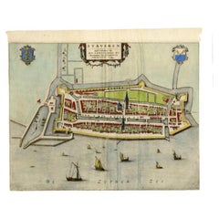
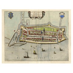
Antique Map of Stavoren by Blaeu, 1649

Antique Map of Stavoren by Blaeu, 1649

Located in Langweer, NL

This map originates from 'Toonneel der Steden van de Vereenighde Nederlanden' by Joan Blaeu. Artists and Engravers: Joan Blaeu (23 September 1596 - 28 May 1673) was a Dutch cartograp...

Category

Antique 17th Century Maps

Materials

Paper

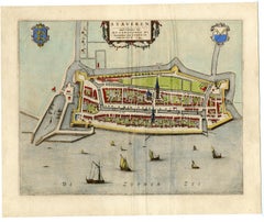
Antique Map of Stavoren by Blaeu, 1649

Antique Map of Stavoren by Blaeu, 1649

Located in Langweer, NL

This map originates from 'Toonneel der Steden van de Vereenighde Nederlanden' by Joan Blaeu. Artists and Engravers: Joan Blaeu (23 September 1596 - 28 May 1673) was a Dutch cartograp...

Category

Antique 17th Century Maps

Materials

Paper

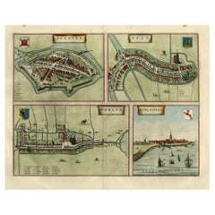
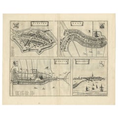
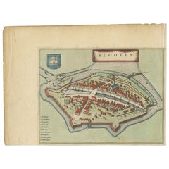
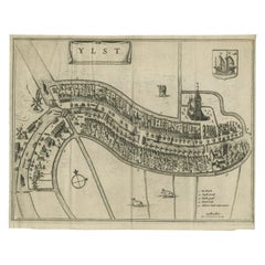
Antique Map of Frisian Cities Sloten, Ylst, Workum and Hindelopen by Blaeu, 1652

Antique Map of Frisian Cities Sloten, Ylst, Workum and Hindelopen by Blaeu, 1652

Located in Langweer, NL

Ref: Koeman 4019 - 43:113 (1652 Blaeu Dutch). Artists and engravers: Joan Blaeu (23 September 1596 - 28 May 1673) was a Dutch cartographer.

Category

Antique 1650s Maps

Materials

Paper

Antique Map of Sloten, IJlst, Workum & Hindeloopen by Blaeu, 1652

Antique Map of Sloten, IJlst, Workum & Hindeloopen by Blaeu, 1652

Located in Langweer, NL

This map originates from the town atlas 'Toneel der Steden', published by Joan Blaeu, Amsterdam. Latin tekst on verso. Artists and Engravers: Joan Blaeu (23 September 1596 - 28 May 1...

Category

Antique 17th Century Maps

Materials

Paper

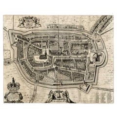
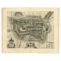
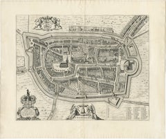
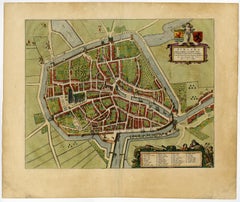
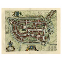
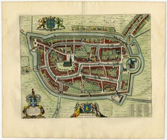
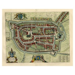
Antique Map of the City of Franeker by Blaeu, 1649

Antique Map of the City of Franeker by Blaeu, 1649

Located in Langweer, NL

This plan originates from the famous city Atlas: 'Toneel der Steeden' published by Joan Blaeu 1649. Artists and Engravers: Joan Blaeu (23 September 1596 - 28 May 1673) was a Dutch ca...

Category

Antique 17th Century Maps

Materials

Paper

Antique Map of the City of Dokkum by Blaeu, c.1650

Antique Map of the City of Dokkum by Blaeu, c.1650

Located in Langweer, NL

Originates from 'Toneel der Steden', published by Joan Blaeu, Amsterdam. Artists and Engravers: Joan Blaeu (23 September 1596 - 28 May 1673) was a Dutch cartographer.

Category

Antique 17th Century Dutch Maps

Materials

Paper

Antique Map of the City of Franeker by Blaeu, 1652

Antique Map of the City of Franeker by Blaeu, 1652

Located in Langweer, NL

Ref: Koeman 1356 - 43:113 (1652 Blaeu Latin). Artists and Engravers: Joan Blaeu (23 September 1596 - 28 May 1673) was a Dutch cartographer.

Category

Antique 17th Century Maps

Materials

Paper

Antique Map of the City of Franeker by Blaeu, 1652

Antique Map of the City of Franeker by Blaeu, 1652

Located in Langweer, NL

Ref: Koeman 1356 - 43:113 (1652 Blaeu Latin). Artists and Engravers: Joan Blaeu (23 September 1596 - 28 May 1673) was a Dutch cartographer.

Category

Antique 17th Century Maps

Materials

Paper

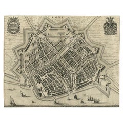
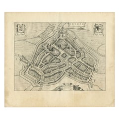
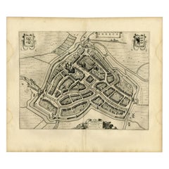
Antique Map of the City of Emden by Blaeu, 1649

Antique Map of the City of Emden by Blaeu, 1649

Located in Langweer, NL

Artist: Joan Blaeu (23 September 1596 - 28 May 1673) was a Dutch cartographer.

Category

Antique 17th Century Maps

Materials

Paper

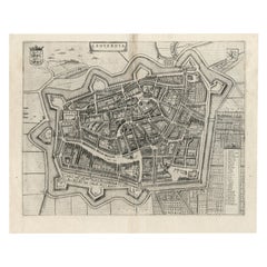
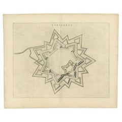
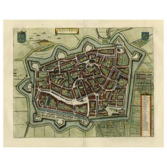
Antique Map of the City of Coevorden by Blaeu, 1649

Antique Map of the City of Coevorden by Blaeu, 1649

Located in Langweer, NL

Artist: Joan Blaeu (23 September 1596 - 28 May 1673) was a Dutch cartographer.

Category

Antique 17th Century Maps

Materials

Paper

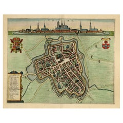
Antique Map of the City of Sneek by Blaeu, 1649

Antique Map of the City of Sneek by Blaeu, 1649

Located in Langweer, NL

This map originates from 'Toneel der Steeden' published by Joan Blaeu, 1649. Artists and Engravers: Joan Blaeu (23 September 1596 - 28 May 1673) was a Dutch cartographer.

Category

Antique 17th Century Maps

Materials

Paper

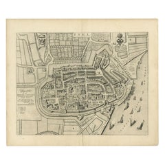
Antique Map of the City of Tiel by Blaeu, 1649

Antique Map of the City of Tiel by Blaeu, 1649

Located in Langweer, NL

Originates from 'Toneel der Steeden' published by Joan Blaeu, 1649. Artists and Engravers: Joan Blaeu (23 September 1596 - 28 May 1673) was a Dutch cartographer.

Category

Antique 17th Century Maps

Materials

Paper

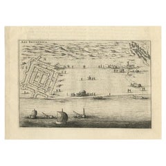
Antique Print of Brittenburg 'Near Katwijk', the Netherlands by Blaeu, '1649'

Antique Print of Brittenburg 'Near Katwijk', the Netherlands by Blaeu, '1649'

Located in Langweer, NL

Originates from 'Toneel der Steeden' published by Joan Blaeu 1649. Artists and Engravers: Joan Blaeu (23 September 1596 - 28 May 1673) was a Dutch cartographer.

Category

Antique 17th Century Prints

Materials

Paper

Decorative Bird's-Eye View Plan of Ieper or Ypres in Belgium, 1649

Decorative Bird's-Eye View Plan of Ieper or Ypres in Belgium, 1649

Located in Langweer, NL

Publisher: Joan Blaeu. Joan Blaeu (23 September 1596 - 28 May 1673) was a Dutch cartographer.

Category

Antique 1640s Maps

Materials

Paper

Antique Print of Brittenburg 'Near Katwijk' in the Netherlands by Blaeu, 1649

Antique Print of Brittenburg 'Near Katwijk' in the Netherlands by Blaeu, 1649

Located in Langweer, NL

Originates from 'Toneel der Steeden' published by Joan Blaeu 1649. Artists and Engravers: Joan Blaeu (23 September 1596 - 28 May 1673) was a Dutch cartographer.

Category

Antique 17th Century Prints

Materials

Paper

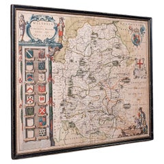
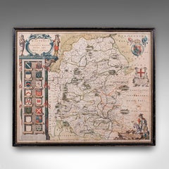
Antique Wiltshire County Map, Dutch, Framed Cartography, Latin, Blaeu, C.1650

Antique Wiltshire County Map, Dutch, Framed Cartography, Latin, Blaeu, C.1650

Located in Hele, Devon, GB

A Dutch, framed atlas engraving of cartographic interest by Joan Blaeu (1596 - 1673), dating to the mid 17th century and later, circa 1650.

Category

Antique 1650s Dutch Jacobean Maps

Materials

Glass, Paper

Antique Map of the City of Sneek by Blaeu, 1652

Antique Map of the City of Sneek by Blaeu, 1652

Located in Langweer, NL

Ref: Koeman 4029 - 43:112 (1652 Blaeu Latin). Artists and Engravers: Joan Blaeu (23 September 1596 - 28 May 1673) was a Dutch cartographer.

Category

Antique 17th Century Maps

Materials

Paper

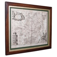
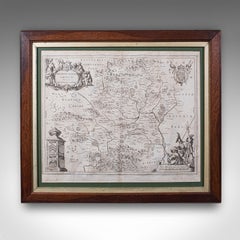
Antique County Map, Hertfordshire, Dutch, Framed Cartography, Blaeu, Carolean

Antique County Map, Hertfordshire, Dutch, Framed Cartography, Blaeu, Carolean

Located in Hele, Devon, GB

A Dutch, framed atlas engraving of cartographic interest by Joan Blaeu (1596 - 1673), dating to the mid 17th century and later, circa 1649.

Category

Antique 1640s Dutch Baroque Maps

Materials

Glass, Oak, Paper

Original Old Bird's-Eye View Plan of Sint-Winoksbergen or Bergen in France, 1649

Original Old Bird's-Eye View Plan of Sint-Winoksbergen or Bergen in France, 1649

Located in Langweer, NL

This plan originates from the famous city Atlas: 'Toneel der Steeden' published by Joan Blaeu 1649. Artists and Engravers: Made by 'Joan Blaeu' after 'Jacob de la Fontaine'.

Category

Antique 1640s Maps

Materials

Paper

Antique Bird's-eye View Plan of Zierikzee in Zeeland, The Netherlands, 1649

Antique Bird's-eye View Plan of Zierikzee in Zeeland, The Netherlands, 1649

Located in Langweer, NL

From the city Atlas: 'Toneel der Steeden' published by Joan Blaeu in 1649. Artists and Engravers: Made by 'Joan Blaeu' after an anonymous artist.

Category

Antique 1640s Maps

Materials

Paper

Antique Blaeu Map of Saintonge, Angoumois and La Rochelle, 1642

Antique Blaeu Map of Saintonge, Angoumois and La Rochelle, 1642

By Joan (Johannes) Blaeu

Located in Langweer, NL

Willem Jansz Blaeu began the atlas that his son Joan Blaeu carried to its full extent, and the Dutch text edition, Toonneel des Aerdriicx ofte Nieuwe Atlas, set a standard for engrav...

Category

Antique Mid-17th Century Dutch Maps

Materials

Paper

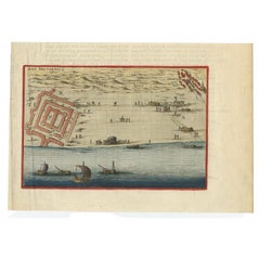
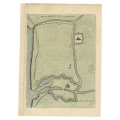
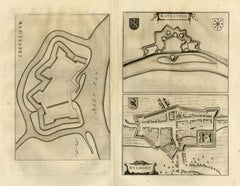
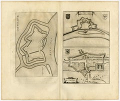
Antique Plan of the Fortress of Greetsiel, Germany, by Blaeu, c.1650

Antique Plan of the Fortress of Greetsiel, Germany, by Blaeu, c.1650

Located in Langweer, NL

This print originates from 'Novum ac magnum theatrum urbium Belgicae' by J. Blaeu. Artists and Engravers: Joan Blaeu was a Dutch cartographer born in Alkmaar, the son of cartogra...

Category

Antique 17th Century Maps

Materials

Paper

Antique Blaeu Map of Quercy, Cahors and the Perigord Border, 1642

Antique Blaeu Map of Quercy, Cahors and the Perigord Border, 1642

By Joan (Johannes) Blaeu

Located in Langweer, NL

Willem Jansz Blaeu began the atlas that his son Joan Blaeu carried to its full extent, and the Dutch text edition, Toonneel des Aerdriicx ofte Nieuwe Atlas, set a standard for engrav...

Category

Antique Mid-17th Century Dutch Maps

Materials

Paper

Antique Blaeu Map of America, Terra Australis Incognita, 1642

Antique Blaeu Map of America, Terra Australis Incognita, 1642

By Joan (Johannes) Blaeu

Located in Langweer, NL

Willem Jansz Blaeu began the atlas that his son Joan Blaeu carried to its full extent, and the Dutch text edition, Toonneel des Aerdriicx ofte Nieuwe Atlas, set a standard for engrav...

Category

Antique Mid-17th Century Dutch Maps

Materials

Paper

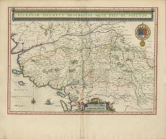
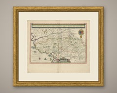
Antique Blaeu Map of Poitou, Oleron and Noirmoutier, 1642

Antique Blaeu Map of Poitou, Oleron and Noirmoutier, 1642

By Joan (Johannes) Blaeu

Located in Langweer, NL

Willem Jansz Blaeu began the atlas that his son Joan Blaeu carried to its full extent, and the Dutch text edition, Toonneel des Aerdriicx ofte Nieuwe Atlas, set a standard for engrav...

Category

Antique Mid-17th Century Dutch Maps

Materials

Paper

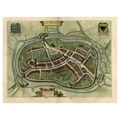
Original Old Map of Leeuwarden, European Cultural Capital 2018, Holland, 1649

Original Old Map of Leeuwarden, European Cultural Capital 2018, Holland, 1649

Located in Langweer, NL

This plan originates from the famous city Atlas: 'Toneel der Steeden' published by Joan Blaeu 1649. Artists and Engravers: Publisher: Joan Blaeu.

Category

Antique 1640s Maps

Materials

Paper

Antique Map of the City of Goch by Blaeu, 1649

Antique Map of the City of Goch by Blaeu, 1649

Located in Langweer, NL

This map originates from 'Novum Ac Magnum Theatrum Urbium Belgicæ Liberæ ac Foederatæ' by J. Blaeu. Artists and Engravers: Joan Blaeu (23 September 1596 - 28 May 1673) was a Dutc...

Category

Antique 17th Century Maps

Materials

Paper

Antique Blaeu Map of Maine, Le Mans and Mayenne, 1642

Antique Blaeu Map of Maine, Le Mans and Mayenne, 1642

By Joan (Johannes) Blaeu

Located in Langweer, NL

Willem Jansz Blaeu began the atlas that his son Joan Blaeu carried to its full extent, and the Dutch text edition, Toonneel des Aerdriicx ofte Nieuwe Atlas, set a standard for engrav...

Category

Antique Mid-17th Century Dutch Maps

Materials

Paper

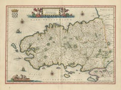
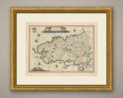
Antique Blaeu Map of Brittany, Haute and Basse Bretagne, 1642

Antique Blaeu Map of Brittany, Haute and Basse Bretagne, 1642

By Joan (Johannes) Blaeu

Located in Langweer, NL

Willem Jansz Blaeu began the atlas that his son Joan Blaeu carried to its full extent, and the Dutch text edition, Toonneel des Aerdriicx ofte Nieuwe Atlas, set a standard for engrav...

Category

Antique Mid-17th Century Dutch Maps

Materials

Paper

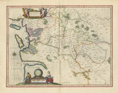
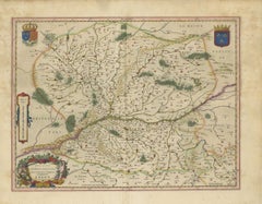
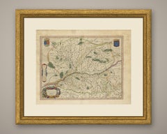
Antique Blaeu Map of Anjou, Angers and the Mauges, 1642

Antique Blaeu Map of Anjou, Angers and the Mauges, 1642

By Joan (Johannes) Blaeu

Located in Langweer, NL

Willem Jansz Blaeu began the atlas that his son Joan Blaeu carried to its full extent, and the Dutch text edition, Toonneel des Aerdriicx ofte Nieuwe Atlas, set a standard for engrav...

Category

Antique Mid-17th Century Dutch Maps

Materials

Paper

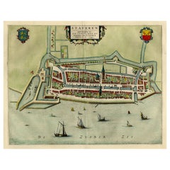
Original Antique Map of the City of Stavoren, Friesland, The Netherlands, 1649

Original Antique Map of the City of Stavoren, Friesland, The Netherlands, 1649

Located in Langweer, NL

This map originates from 'Toonneel der Steden van de Vereenighde Nederlanden' by Joan Blaeu. Artists and Engravers: Joan Blaeu (23 September 1596 - 28 May 1673) was a Dutch carto...

Category

Antique 1640s Maps

Materials

Paper

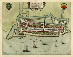
Original Antique Map of the City of Stavoren, Friesland, The Netherlands, 1649

Original Antique Map of the City of Stavoren, Friesland, The Netherlands, 1649

Located in Langweer, NL

This map originates from 'Toonneel der Steden van de Vereenighde Nederlanden' by Joan Blaeu. Artists and Engravers: Joan Blaeu (23 September 1596 - 28 May 1673) was a Dutch carto...

Category

Antique 1640s Maps

Materials

Paper

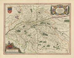
Antique Blaeu Map of Touraine, Tours and the Loire Valley, 1642

Antique Blaeu Map of Touraine, Tours and the Loire Valley, 1642

By Joan (Johannes) Blaeu

Located in Langweer, NL

Willem Jansz Blaeu began the atlas that his son Joan Blaeu carried to its full extent, and the Dutch text edition, Toonneel des Aerdriicx ofte Nieuwe Atlas, set a standard for engrav...

Category

Antique Mid-17th Century Dutch Maps

Materials

Paper

Antique Blaeu Map of the Loudunois, Anjou and the Mirebalais, 1642

Antique Blaeu Map of the Loudunois, Anjou and the Mirebalais, 1642

By Joan (Johannes) Blaeu

Located in Langweer, NL

Willem Jansz Blaeu began the atlas that his son Joan Blaeu carried to its full extent, and the Dutch text edition, Toonneel des Aerdriicx ofte Nieuwe Atlas, set a standard for engrav...

Category

Antique Mid-17th Century Dutch Maps

Materials

Paper

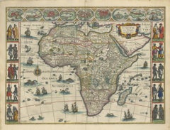
Antique Blaeu Map of Africa, Madagascar and the Barbary Coast, 1642

Antique Blaeu Map of Africa, Madagascar and the Barbary Coast, 1642

By Joan (Johannes) Blaeu

Located in Langweer, NL

Willem Jansz Blaeu began the atlas that his son Joan Blaeu carried to its full extent, and the Dutch text edition, Toonneel des Aerdriicx ofte Nieuwe Atlas, set a standard for engrav...

Category

Antique Mid-17th Century Dutch Maps

Materials

Paper

Antique Blaeu Map of the Dauphine, Valence and the Alps, 1642

Antique Blaeu Map of the Dauphine, Valence and the Alps, 1642

By Joan (Johannes) Blaeu

Located in Langweer, NL

Willem Jansz Blaeu began the atlas that his son Joan Blaeu carried to its full extent, and the Dutch text edition, Toonneel des Aerdriicx ofte Nieuwe Atlas, set a standard for engrav...

Category

Antique Mid-17th Century Dutch Maps

Materials

Paper

  • 1

Recent Sales

Incendia Molarum Praefecture omnium Sanctoru.

Incendia Molarum Praefecture omnium Sanctoru.

By Salomon Savery

Located in Zeeland, Noord-Brabant

Sub vriaco Ductoris Historia.', published by Joan Blaeu, Amsterdam, 1647. Reference: Sabin 3408, Muller 1822.

Category

1640s More Prints

Materials

Engraving, Etching

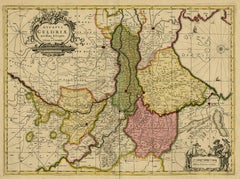
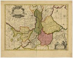
Antique map of Gelderland by Valk - Schenk - Handcoloured engraving - 17th c.

Antique map of Gelderland by Valk - Schenk - Handcoloured engraving - 17th c.

By Joan (Johannes) Blaeu

Located in Zeeland, Noord-Brabant

Description: Source unknown, to be determined. Artists and Engravers: Anonymous. Subject: Antique print, titled: 'Ducatus Geldriae novissima descriptio.' - This map shows duchy of ...

Category

1690s Old Masters More Prints

Materials

Engraving

Old Map of the City of Franeker, Friesland by the Famous Mapmaker Blaeu, 1652

Old Map of the City of Franeker, Friesland by the Famous Mapmaker Blaeu, 1652

Located in Langweer, NL

Ref: Koeman 1356 - 43:113 (1652 Blaeu Latin). Artists and engravers: Joan Blaeu (23 September 1596 - 28 May 1673) was a Dutch cartographer.

Category

Antique 1650s Maps

Materials

Paper

Old Map by Blaeu of the City of Franeker, Friesland, The Netherlands, 1649

Old Map by Blaeu of the City of Franeker, Friesland, The Netherlands, 1649

Located in Langweer, NL

Ref: Koeman 1356 - 43:113 (1652 Blaeu Latin). Artists and Engravers: Joan Blaeu (23 September 1596 - 28 May 1673) was a Dutch cartographer.

Category

Antique 1640s Maps

Materials

Paper

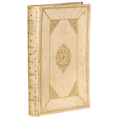
Old Spanish Vellum Book

Old Spanish Vellum Book

Sold

H 22.75 in W 15 in D 3 in

Old Spanish Vellum Book

Located in Atlanta, GA

Old Spanish vellum book, which translates to "Universal Atlas of the Hemisphere" by Joan Blaeu

Category

Antique 18th Century and Earlier Spanish Books

Antique Map of the City of Workum by Blaeu, 1649

Antique Map of the City of Workum by Blaeu, 1649

Located in Langweer, NL

Old map of the city of Workum, Friesland. Originates from J. Blaeu's 'Town Book'. Artists and Engravers: Joan Blaeu (23 September 1596 - 28 May 1673) was a Dutch cartographer.

Category

Antique 17th Century Maps

Materials

Paper

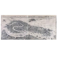
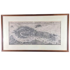
View of Venice Antique Print Engraved on Copper Etching 1724 Pierre Mortier

View of Venice Antique Print Engraved on Copper Etching 1724 Pierre Mortier

By Pierre Mortier

Located in Milano, IT

Questa opera, una delle più monimentali eseguite sulle città italiane, si rifà al Theatrum Civitatum et admirandorum Italiae di Joan Blaeu e fu stampata da Pierre Mortier che riel...

Category

1720s Flemish School Landscape Prints

Materials

Etching

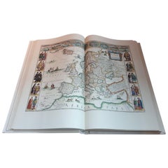
Facsimile Joan Blaeu's Atlas Major '12 Volumes'

Facsimile Joan Blaeu's Atlas Major '12 Volumes'

Sold

H 21.46 in W 13.39 in D 1.97 in

Facsimile Joan Blaeu's Atlas Major '12 Volumes'

Located in Langweer, NL

Facsimile of the original French edition of Joan Blaeu's Atlas Major, 1663. Printed in Amsterdam, by N.V.

Category

Late 20th Century Books

Materials

Paper

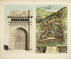
AYX Map of Aix en Provence, France by J. Blaeu 17th c.

AYX Map of Aix en Provence, France by J. Blaeu 17th c.

By Joan (Johannes) Blaeu

Located in Paonia, CO

Joan Blaeu and his father Willem Janszoon Blaeu ( 1571- 1638 ) were the most widely known cartographic publishers of the seventeenth century.

Category

Late 17th Century Other Art Style Landscape Prints

Materials

Engraving

Antique Map of Sloten by Blaeu, 1649

Antique Map of Sloten by Blaeu, 1649

Sold

H 9.45 in W 12.6 in D 0 in

Antique Map of Sloten by Blaeu, 1649

Located in Langweer, NL

Artist: Joan Blaeu was a Dutch cartographer born in Alkmaar, the son of cartographer Willem Blaeu.

Category

Antique 17th Century Maps

Materials

Paper

Antique Frontispiece by Blaeu, c.1650

Antique Frontispiece by Blaeu, c.1650

Sold

H 20.87 in W 12.41 in D 0 in

Antique Frontispiece by Blaeu, c.1650

Located in Langweer, NL

This plate originates from the famous town atlas of the Netherlands 'Toonneel der Steden' published by Joan Blaeu c. 1650. Artists and Engravers: Joan Blaeu.

Category

Antique 17th Century Prints

Materials

Paper

Antique Map of the City of IJlst by Blaeu, c.1649

Antique Map of the City of IJlst by Blaeu, c.1649

Located in Langweer, NL

This plan was published with 3 other cities on one sheet in the famous city Atlas: 'Toneel der Steeden' published by Joan Blaeu 1649. Artists and Engravers: Joan Blaeu (23 Septemb...

Category

Antique 17th Century Maps

Materials

Paper

Original Old Bird's-eye View plan of Sneek, Friesland, The Netherlands, 1649

Original Old Bird's-eye View plan of Sneek, Friesland, The Netherlands, 1649

Located in Langweer, NL

This plan originates from the famous city Atlas: 'Toneel der Steeden' published by Joan Blaeu 1649. Artists and Engravers: Joan Blaeu (23 September 1596 - 28 May 1673) was a Dutch...

Category

Antique 1640s Maps

Materials

Paper

Champagne: The Sparkling Heart of France - A Blaeu Cartographic Engraving, c1650

Champagne: The Sparkling Heart of France - A Blaeu Cartographic Engraving, c1650

Located in Langweer, NL

The maker of the map is indicated on the cartouche, which reads "Amstelodami Apud Guilielmum et Ioannem Blaeu." This means the map was produced in Amsterdam by the Blaeu family, spec...

Category

Antique 1650s Maps

Materials

Paper

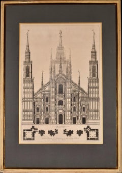
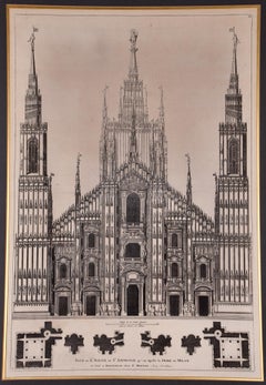
Milan Cathedral: A Framed 1704 Architectural Rendering by Mortier after Blaeu

Milan Cathedral: A Framed 1704 Architectural Rendering by Mortier after Blaeu

By Pierre Mortier

Located in Alamo, CA

Ambriose qu'on Appelle le Dome de Milan" by Pierre Mortier (1661-1711) in 1704 after a 17th century engraving by Joan Blaeu (1596-1673), from Blaeu's publication "Nouveau Théâtre D'I...

Category

Early 18th Century Old Masters Landscape Prints

Materials

Engraving

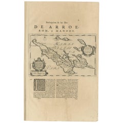
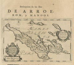
Antique Map of Ærø, Denmark – 'Aroe Insulae' from Blaeu’s Spanish Atlas, c.1665

Antique Map of Ærø, Denmark – 'Aroe Insulae' from Blaeu’s Spanish Atlas, c.1665

Located in Langweer, NL

The map is oriented with north to the right and includes significant coastal and inland features, rendered with the decorative flair characteristic of Blaeu’s atlas maps. Published ...

Category

Antique Mid-17th Century Dutch Maps

Materials

Paper

Antique Map of Calabria 'Italy' by Blaeu, circa 1690

Antique Map of Calabria 'Italy' by Blaeu, circa 1690

Sold

H 20.48 in W 24.61 in D 0.02 in

Antique Map of Calabria 'Italy' by Blaeu, circa 1690

By Joan (Johannes) Blaeu

Located in Langweer, NL

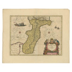
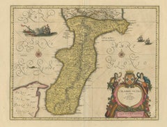
Antique map titled 'Calabre Ultra'. Beautiful and rare map of Calabria, Italy. Calabria, known in antiquity as Bruttium, is a region in Southern Italy. Very decorative example with o...

Category

Antique Late 17th Century Maps

Materials

Paper

Venerable Vespasian's Arena: The Colosseum in its Prime, circa 1705

Venerable Vespasian's Arena: The Colosseum in its Prime, circa 1705

Located in Langweer, NL

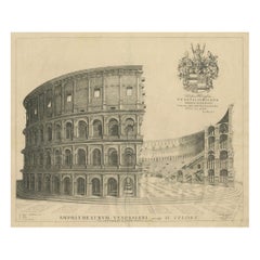
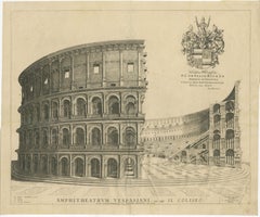
The creation of this piece follows the destructive fire of 1672, which ravaged the Blaeu workshop, compromising many materials. Despite this setback, the Blaeu legacy endured, with s...

Category

Antique Early 18th Century Prints

Materials

Paper

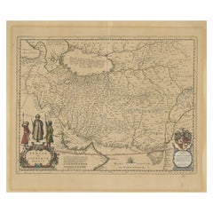
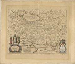
Antique Map of Persia, Also Showing the Indus River, circa 1673

Antique Map of Persia, Also Showing the Indus River, circa 1673

By Joan (Johannes) Blaeu

Located in Langweer, NL

Antique map titled 'Persia sive Sophorum Regnum'. Original old map of Persia. The map extends from the Eastern Mediterranean to Tacalistan and the Indus River and the Dalanguer Mount...

Category

Antique Late 17th Century Maps

Materials

Paper

Two 17th Century Axonometric Maps by Dutch Cartographer Joan Blaeu

Two 17th Century Axonometric Maps by Dutch Cartographer Joan Blaeu

By Joan (Johannes) Blaeu

Located in Brooklyn, NY

Two hand colored copper engravings by Dutch cartographer Joan Blaeu (1596 - 1673). Blaeu was the official cartographer for the Dutch East India Company in the mid 1600s.

Category

Antique 1660s Dutch Maps

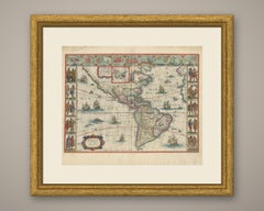
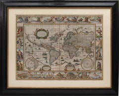
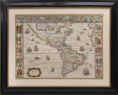
Set of World & Four Continents

Set of World & Four Continents

By Joan (Johannes) Blaeu

Located in London, London

BLAEU, Johannes. [Set of World & Four Continents from the 'Atlas Major'] Nova et Accuratissima Totius Terrarum Orbis Tabula; Americæ nova Tabula; Asia noviter delineata; Africæ nova ...

Category

17th Century More Art

Materials

Watercolor, Engraving

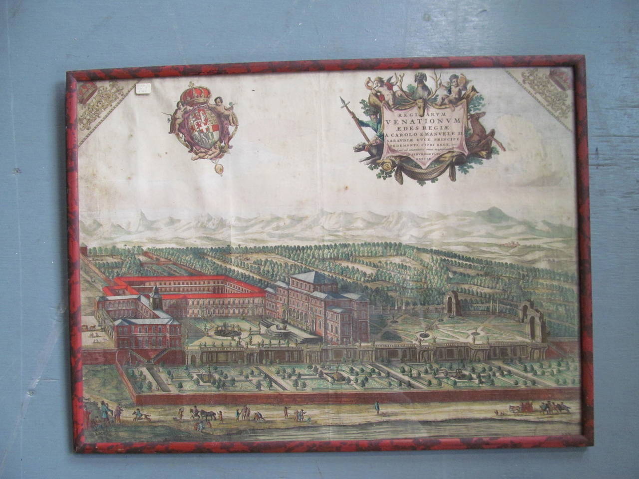
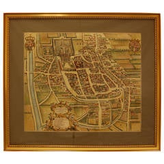
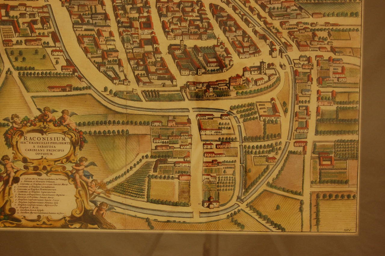
17th Century Water Color Map of Racconigi, Italy, 1668 by J. Blaeu

17th Century Water Color Map of Racconigi, Italy, 1668 by J. Blaeu

By Joan (Johannes) Blaeu

Located in Pittsburgh, PA

Interior dimension of the mat is 23" x 20". Joan Blaeu (1596-1673).

Category

Antique 1660s Italian Renaissance Maps

Materials

Paper

You May Also Like

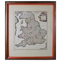
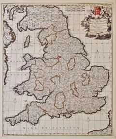
Large 17th Century Hand Colored Map of England and the British Isles by de Wit

Large 17th Century Hand Colored Map of England and the British Isles by de Wit

By Frederick de Wit

Located in Alamo, CA

A large hand colored 17th century map of England and the British Isles by Frederick de Wit entitled "Accuratissima Angliæ Regni et Walliæ Principatus", published in Amsterdam in 1680...

Category

Antique Late 17th Century Dutch Maps

Materials

Paper

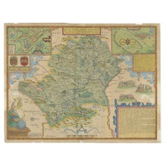
Antique Map of Hertfordshire in England by Speed, 1627

Antique Map of Hertfordshire in England by Speed, 1627

Located in Langweer, NL

Antique map titled 'Hartfordshire described the sittuations of Hartford (..)'. Map of Hertfordshire, England. Includes inset maps of Hertford and the Roman settlement of Verolani...

Category

Antique 17th Century Maps

Materials

Paper

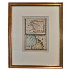
Antique Miniature Map of France and the Low Countries by Mallet, circa 1719

Antique Miniature Map of France and the Low Countries by Mallet, circa 1719

$160Sale Price|20% Off

H 11.82 in W 9.45 in D 0.6 in

Antique Miniature Map of France and the Low Countries by Mallet, circa 1719

Located in Langweer, NL

Antique map titled 'France - Païs-Bas'. Miniature Map of France and the Low Countries. Published by A.M. Mallet, circa 1719. Frame included. We carefully pack our framed items to ...

Category

Antique Early 18th Century Maps

Materials

Paper

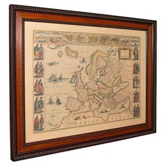
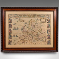
Vintage Reproduction 17th Century Map of Europe, American, Cartography, Blaeuw

Vintage Reproduction 17th Century Map of Europe, American, Cartography, Blaeuw

$999Sale Price|20% Off

H 30.32 in W 38.39 in D 1.38 in

Vintage Reproduction 17th Century Map of Europe, American, Cartography, Blaeuw

Located in Hele, Devon, GB

This is a vintage reproduction map of Europe. An American, paper stock cartography print in frame after the work by Blaeuw, dating to the late 20th century, circa 1970. Fascinating ...

Category

Late 20th Century Central American Mid-Century Modern Maps

Materials

Glass, Wood, Paper

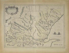
Map of Scotland - Etching by Johannes Blaeu - 1650s

Johannes BlaeuMap of Scotland - Etching by Johannes Blaeu - 1650s, 1650s

$428Sale Price|20% Off

H 18.51 in W 23.82 in D 0.08 in

Map of Scotland - Etching by Johannes Blaeu - 1650s

Located in Roma, IT

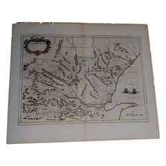
Map of Scotland is an geographic map realized by Johannes Blaeu. Etching, printed in 1660 ca. Copper engraving, colored (coeval coloring), on paper, with center fold; Latin text. ...

Category

1650s Modern Figurative Prints

Materials

Etching

A Gold Highlighted Antique Map of Northamptonshire by Blaeu '1659'

A Gold Highlighted Antique Map of Northamptonshire by Blaeu '1659'

$732Sale Price|20% Off

H 18.9 in W 22.05 in D 0.02 in

A Gold Highlighted Antique Map of Northamptonshire by Blaeu '1659'

Located in Langweer, NL

Antique map titled 'Comitatus Northantonensis vernacule Northamtonshire'. Original antique map of Northamptonshire, England. This map originates from 'Atlas Universal y Cosmographico...

Category

Antique Mid-17th Century Dutch Maps

Materials

Paper

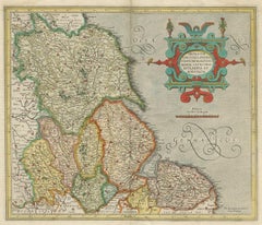
Antique Map of the Northeast of England by Mercator 'circa 1620'

Antique Map of the Northeast of England by Mercator 'circa 1620'

Located in Langweer, NL

Antique map titled 'Eboracum Lincolnia, Derbia, Staffordia, Notinghamia, Lecestria, Rutlandia, et Norfolcia'. Decorative early map of the northeast of England, comprising the countie...

Category

Antique Early 17th Century Maps

Materials

Paper

Antique Map of the Region of Blois by Janssonius, 'circa 1640'

Antique Map of the Region of Blois by Janssonius, 'circa 1640'

$371Sale Price|35% Off

H 19.49 in W 23.04 in D 0.02 in

Antique Map of the Region of Blois by Janssonius, 'circa 1640'

By Johannes Janssonius

Located in Langweer, NL

Antique map titled 'Description du Blaisois'. Old map of the region of Blois, France. It shows the city of Blois, Amboise, the Loire River and more. Published by J. Janssonius, circa...

Category

Antique Mid-17th Century Maps

Materials

Paper

Decorative Antique Map of the Dutch Province of Noord-Brabant, ca.1640

Decorative Antique Map of the Dutch Province of Noord-Brabant, ca.1640

$2,516Sale Price|20% Off

H 20.79 in W 23.23 in D 0.01 in

Decorative Antique Map of the Dutch Province of Noord-Brabant, ca.1640

Located in Langweer, NL

Antique map titled 'Quarta pars Brabantiae cujus Sylvaducis Willebordus vanderBurgt desrib'. Highly detailed original antique map of the province of Noord-Brabant, the Netherland...

Category

Antique 1640s Dutch Maps

Materials

Paper

Antique Map Paris & Île-de-France – Blaeu Hand Colored c.1642

Antique Map Paris & Île-de-France – Blaeu Hand Colored c.1642

Located in Langweer, NL

Antique Map Paris & Île-de-France – Blaeu Hand Colored c.1642 Description: A highly desirable and visually refined 17th-century map centered on Paris and the Île-de-France region, e...

Category

Antique Mid-17th Century Dutch Maps

Materials

Paper

Antique County Map, Buckinghamshire, Bedfordshire, Dutch, Framed, Janssonius

Antique County Map, Buckinghamshire, Bedfordshire, Dutch, Framed, Janssonius

$1,322Sale Price|20% Off

H 24.02 in W 27.76 in D 0.79 in

Antique County Map, Buckinghamshire, Bedfordshire, Dutch, Framed, Janssonius

Located in Hele, Devon, GB

This is an antique county map of Buckinghamshire and Bedfordshire. A Dutch, framed atlas engraving by Johannes Janssonius, dating to the 17th century and later. A treat for the col...

Category

Antique Mid-17th Century Dutch Maps

Materials

Paper

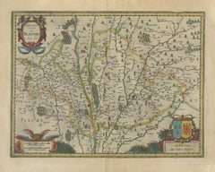
Antique Map of the Region of Beauvais by Hondius, circa 1630

Antique Map of the Region of Beauvais by Hondius, circa 1630

Located in Langweer, NL

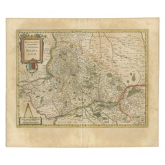
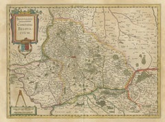
Antique map titled 'Beauvaisis - Comitatus Belovacium'. Old map of the region of Beauvais, France. This map originates from a composite atlas and is signed by J. Hondius.

Category

Antique Mid-17th Century Maps

Materials

Paper

Antique Map of Part of Flanders 'Belgium' by F. de Wit 'circa 1680'

Antique Map of Part of Flanders 'Belgium' by F. de Wit 'circa 1680'

$526Sale Price|20% Off

H 20.08 in W 23.63 in D 0.02 in

Antique Map of Part of Flanders 'Belgium' by F. de Wit 'circa 1680'

Located in Langweer, NL

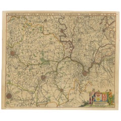
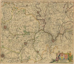
Antique map titled 'Marchionatus Sacri Imperii et Dominii Mechelini Tabula'. Large folio size map of the region around Mechelen, Leuven, Brussels, Dendermonde and Antwerp. Published ...

Category

Antique Late 17th Century Maps

Materials

Paper

Antique Map of Catalonia by Blaeu, circa 1650

Antique Map of Catalonia by Blaeu, circa 1650

$927

H 18.12 in W 22.25 in D 0.02 in

Antique Map of Catalonia by Blaeu, circa 1650

Located in Langweer, NL

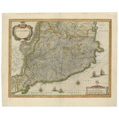
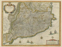
Antique map titled 'Catalonia'. Antique map of Catalonia, extending from C. De Romani on the Northern Coast to Alfachs and Panicola in Valencia on the southern end of the coast and s...

Category

Antique Mid-17th Century Maps

Materials

Paper

Antique Map of Leicester and Rutland by Tinney & Sayer, 'circa 1756'

Antique Map of Leicester and Rutland by Tinney & Sayer, 'circa 1756'

$732Sale Price|20% Off

H 24.22 in W 30.12 in D 0.79 in

Antique Map of Leicester and Rutland by Tinney & Sayer, 'circa 1756'

Located in Langweer, NL

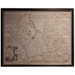
Antique map titled 'An Accurate Map of the Counties of Leicester and Rutland (..)'. Large map of Leicester and Rutland with dedications to the Most Noble John Duke of Rutland, and to...

Category

Antique Mid-18th Century Maps

Materials

Paper

Antique Map of Essex by Overton, circa 1710

Antique Map of Essex by Overton, circa 1710

$869Sale Price|20% Off

H 19.49 in W 24.41 in D 0.6 in

Antique Map of Essex by Overton, circa 1710

Located in Langweer, NL

Antique map titled 'Essex, devided into Hundreds, with the most antient and fayre Towne Colchester (..)'. Map of Essex, England. Includes an inset town plan of Colchester. Published ...

Category

Antique Early 18th Century Maps

Materials

Paper

People Also Browsed

Oil Painting by Garstin Cox "A Summer Moonlight"

Garstin CoxOil Painting by Garstin Cox "A Summer Moonlight", 1920

$4,085Sale Price|25% Off

H 35 in W 43 in D 3 in

Oil Painting by Garstin Cox "A Summer Moonlight"

By Garstin Cox

Located in Mere, GB

“A Summer Moonlight” by Garstin Cox. Garstin Cox 1892-1933 was a Cornish artist who studied at the Cambourne School of Art and was a member of the Newlyn School. Oil on Canvas. Signe...

Category

1920s Modern Landscape Paintings

Materials

Oil

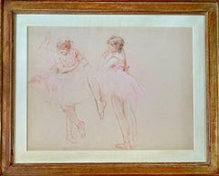
Study of Dancers: French School Drawing in Pastel and Charcoal, 1900

Study of Dancers: French School Drawing in Pastel and Charcoal, 1900

Located in PARIS, FR

Henri ROYER Nancy 1869 - 1938 Paris Study of dancers Sanguine pastel and charcoal on cream white paper Circa 1900-1910 Unsigned 47 x 62.5 cm sheet 67 x 83 cm cm frame Provenance: Es...

Category

Early 20th Century French School Figurative Drawings and Watercolors

Materials

Chalk, Charcoal, Pastel, Mixed Media

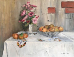
French Still Life Painting Pink Flowers Apples Table Oil on Canvas Signed 1987

French Still Life Painting Pink Flowers Apples Table Oil on Canvas Signed 1987

Located in Cirencester, Gloucestershire

Artist: French School, signed and dated 1987 Medium: Oil on canvas Size: 25.5 x 20 inches Frame: Unframed Signature: Signed lower right Condition: Very good condition Description A ...

Category

Late 20th Century Impressionist Still-life Paintings

Materials

Oil

Victorian Oil Painting: Fishing with Cattle Watering, Circa 1850-1859

Victorian Oil Painting: Fishing with Cattle Watering, Circa 1850-1859

By Edwin H. Boddington

Located in St. Albans, GB

Edwin Henry Boddington Canvas Size: 20 x 32" (51 x 81cm) Outside Frame Size: 29 x 41" (74 x 104cm) A very good and typical example of his work which has been relined for preservati...

Category

1850s Victorian Landscape Paintings

Materials

Oil

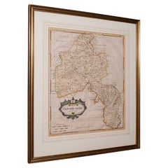
Antique Lithography Map, Oxfordshire, English, Framed Cartography, Robert Morden

Antique Lithography Map, Oxfordshire, English, Framed Cartography, Robert Morden

$1,312Sale Price|20% Off

H 23.43 in W 20.48 in D 1.19 in

Antique Lithography Map, Oxfordshire, English, Framed Cartography, Robert Morden

Located in Hele, Devon, GB

This is an antique lithography map of Oxfordshire. An English, framed atlas engraving of cartographic interest by Robert Morden, dating to the late 17th century and later. Superb l...

Category

Antique Late 17th Century British William and Mary Maps

Materials

Paper

Devon Hills No2, original painting, landscape, contemporary

Devon Hills No2, original painting, landscape, contemporary

By Alexa Roscoe

Located in Deddington, GB

This landscape painting by Alexa Roscoe is inspired by a favourite walk she shares with her brother in Devon, where the beauty of the countryside never fails to captivate. The scene ...

Category

2010s Contemporary Paintings

Materials

Oil

John Boydell 1751 engraving A South Prospect of the City of Oxford

John Boydell 1751 engraving A South Prospect of the City of Oxford

Located in London, GB

To see our other views of Oxford and Cambridge, scroll down to "More from this Seller" and below it click on "See all from this Seller" - or send us a message if you cannot find the ...

Category

Mid-18th Century Realist Landscape Prints

Materials

Engraving

H. Hackotoun  - 1885 Watercolour, Pansy and Seashell

H. Hackotoun - 1885 Watercolour, Pansy and Seashell

Located in Corsham, GB

A charming 19th Century still life study depicting a seashell, dog roses and a pansy carefully placed before a rock. The artist captures the delicate flowers and their textures in gr...

Category

Late 19th Century Still-life Drawings and Watercolors

Materials

Watercolor

Get Updated with New Arrivals
Save "Joan Blaeu", and we’ll notify you when there are new listings in this category.

Joan Blaeu For Sale on 1stDibs

Find many varieties of an authentic joan blaeu available at 1stDibs. A joan blaeu — often made from paper, glass and wood — can elevate any home. Your living room may not be complete without a joan blaeu — find older editions for sale from the 18th Century and newer versions made as recently as the 20th Century. You’ll likely find more than one joan blaeu that is appealing in its simplicity, but Willem Janszoon Bleau, Pierre Mortier and Salomon Savery produced versions that are worth a look.

Finding the Right Collectibles-curiosities for You

Antique and vintage collectibles and curiosities can bring whimsy and wonder to any interior. 

Decorating with old scientific instruments, historical memorabilia and vintage musical instruments, as well as other authentic collectibles and curiosities that can be found on 1stDibs, presents an opportunity to create a unique, natural history museum-like atmosphere in your home that can provoke conversation as often as it pays tribute to how far we’ve come in understanding our world. 

And bringing collectibles and curiosities into your space is actually on trend — Wunderkammern, or curiosity cabinets, were all the rage in Europe during the 1500s and continued to have adherents there and in the U.S. in the following centuries. Today, however, they’re experiencing a real surge in popularity and influencing how many interior designers are furnishing and decorating homes — combining contemporary with antique, scientific with tribal, earthly with extraterrestrial, Les Lalanne tables with Flemish tapestries.

The original Wunderkammern were entire rooms filled with objects demonstrating their owners’ worldly knowledge: A proper one included artificiala or preciosa (objets d’art); naturalia (such as skeletons, shells, minerals); exotica (taxidermy or dried plants); and scientifica (scientific instruments), frequently alongside religious relics and ancient artifacts.

Pay tribute to a history of rich and diverse musical traditions that have taken shape all over the world by decorating your home with a collection of antique and vintage musical instruments — with a little help from strong hanging wire or some wall hooks, vintage brass instruments such as a gong, French horn or trumpet can help elevate a home office or complement the efforts you’ve made to ensure a welcoming vibe in your home’s entryway. Bells or antique wind instruments can add provocative metallic contrasts to dark woods as tabletop decorative objects.  

Create an intriguing focal point with Georgian scientific instruments, such as stick barometers with mahogany cases or lacquered brass telescopes. These items stem from an era named for the monarchies of the four King Georges, who ruled England in succession starting in 1714 (plus King William’s reign, which lasted until 1837). Just as there was beautiful jewelry produced during the period that today is coveted by collectors, there is much to be found in the collectibles and curiosities realm too.

Wanderlust, nostalgia and a shared love of good design are contributing factors to certain trends in decorating — just as vintage trunks and luggage have reappeared as furniture or home accents in a bedroom or foyer, decorating with globes, maps or nautical objects is similarly rooted in the allure of travel and a penchant for the stylish finishing touch that collectibles bring to our homes.

Find a wide range of antique and vintage collectibles and curiosities on 1stDibs.
Read More