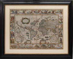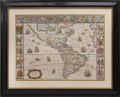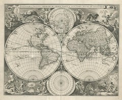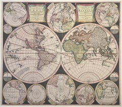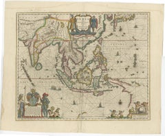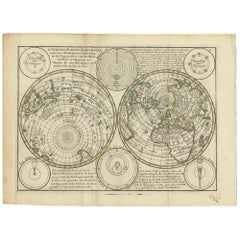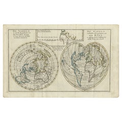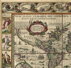
Nova Totius Terrarum Orbis Tabula

Recent Sales

Set of World & Four Continents

Set of World & Four Continents

By Joan (Johannes) Blaeu

Located in London, London

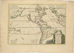
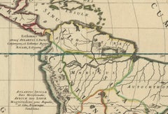
[Set of World & Four Continents from the 'Atlas Major'] Nova et Accuratissima Totius Terrarum Orbis Tabula; Americæ nova Tabula; Asia noviter delineata; Africæ nova descriptio; Europ...

Category

17th Century More Art

Materials

Watercolor, Engraving

You May Also Like

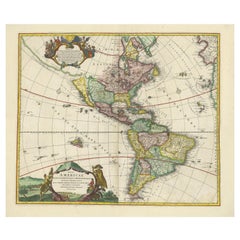
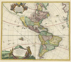
Antique Map of America with California as an Island by Homann '1710'

Antique Map of America with California as an Island by Homann '1710'

Located in Langweer, NL

This antique map, titled "Totius Americae Septentrionalis et Meridionalis," represents a significant cartographic piece from 1710 by Johann Baptist Homann. Here's a description of th...

Category

Antique Early 18th Century Maps

Materials

Paper

Mythical Atlantis Restored - A 1694 Map of the Americas and Ancient Geography

Mythical Atlantis Restored - A 1694 Map of the Americas and Ancient Geography

Located in Langweer, NL

This rare and fascinating map, titled "Atlantis Insula a Nicolao Sanson Antiquitati Restituta" by Guillaume Sanson, presents an unusual interpretation of the Western Hemisphere, comb...

Category

Antique 1690s Maps

Materials

Paper

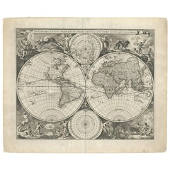
Gorgeous Antique World Map by the Dutch Mapmaker Visscher, published circa 1679

Gorgeous Antique World Map by the Dutch Mapmaker Visscher, published circa 1679

Located in Langweer, NL

Antique map titled 'Novissima Totius Terrarum Orbis Tabula, Auctore Nicolao Visscher'. Gorgeous example of Nicholas Visscher's World map, which appeared in his Atlas Minor after 1679...

Category

Antique Late 17th Century Dutch Maps

Materials

Paper

Map of Americas
Map of Americas

Map of Americas, 1783

$470

H 18 in W 24 in D 0.1 in

Map of Americas

Located in Houston, TX

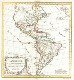
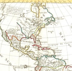
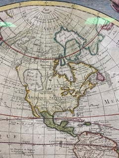
Over 200 year old engraved map of Americas by Robert de Vaugondy from 1783. Original hand color. Shows North, Central and South Americas. Note the possibility of a Northwest Passa...

Category

1780s More Prints

Materials

Ink, Watercolor, Handmade Paper

Antique Map of the World on Mercator's Projection, 1788

Antique Map of the World on Mercator's Projection, 1788

Located in Langweer, NL

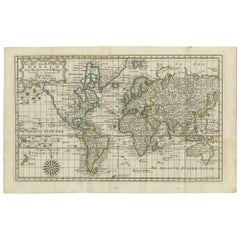
Antique map titled 'Kaart van de Geheele Wereld (..)'. Uncommon small world map on Mercator's projection. Nice detail of the islands throughout the world. Decorative title cartouche ...

Category

Antique Late 18th Century Maps

Materials

Paper

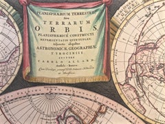
WORLD MAP - Planisphaerium Terrestre Sive Terrarum Orbis... 1696

WORLD MAP - Planisphaerium Terrestre Sive Terrarum Orbis... 1696

By Carel Allard

Located in Santa Monica, CA

CAREL ALLARD (1648 – 1709) PLANISPHAERIUM TERRESTRE SIVE TERRARUM ORBIS… 1696 (Shirley 578) Engraving, 20 ½ x 23 ½”, sheet 21 x 24 1/8". A stunning double hemisphere World Map wi...

Category

17th Century Old Masters Landscape Prints

Materials

Engraving
Ancient World Map
Ancient World Map

Ancient World Map, 1838

$450

H 18 in W 24 in D 0.1 in

Ancient World Map

Located in Houston, TX

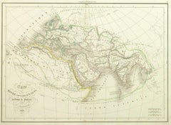
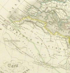
Over 150 year old engraved map of the world as it was known during the antiquities by cartographer Delamarche from 1838. Original hand color. Shows African, European and Asian cont...

Category

1830s More Prints

Materials

Ink, Watercolor, Handmade Paper

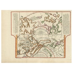
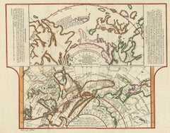
Antique Map of the West Coast of North America & North East Coast of Asia '1772'

Antique Map of the West Coast of North America & North East Coast of Asia '1772'

Located in Langweer, NL

Antique map titled 'Carte des nouvelles decouvertes/ Extrait d'une Carte Japonoise de l'Universe'. Map of the West Coast of North America and North-East Coast of Asia, based upon Bua...

Category

Antique Late 18th Century Maps

Materials

Paper

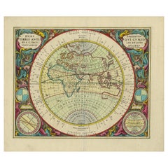
Antique Map of the Eastern Hemisphere by Valk & Chenk '1708'

Antique Map of the Eastern Hemisphere by Valk & Chenk '1708'

Located in Langweer, NL

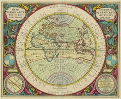
Antique map titled 'Hemispherium Orbis Antiqui, Cumzonis Circulis, Et Sity populorum Diverso'. Decorative example of Andreas Cellarius's map of the Eastern Hemisphere, illustrating w...

Category

Antique Early 18th Century Dutch Maps

Materials

Paper

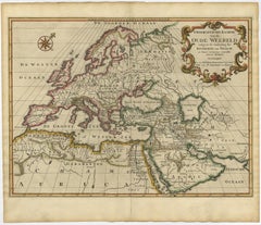
Ancient World Map of Europe, Asia & Northern Africa with Ancient Names, 1725

Ancient World Map of Europe, Asia & Northern Africa with Ancient Names, 1725

Located in Langweer, NL

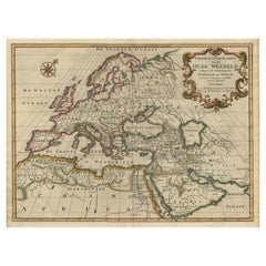
Antique map titled 'Geografische Kaarte van de Oude Weereld (..).' Original antique map of the ancient world depicting Europe, Asia, and northern Africa with ancient place names....

Category

Antique 1720s French Maps

Materials

Paper

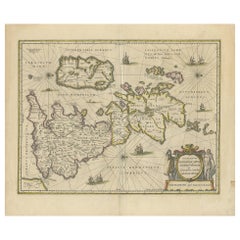
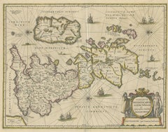
Antique Map of the Ancient British Isles by Janssonius, circa 1640

Antique Map of the Ancient British Isles by Janssonius, circa 1640

Located in Langweer, NL

Antique map titled 'Insularum Britannicarum Acurata Delineatio'. Original antique map of the ancient British Isles. England and Wales are labelled as Britannia Superior, and further ...

Category

Antique Mid-17th Century Dutch Maps

Materials

Paper

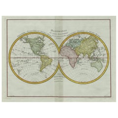
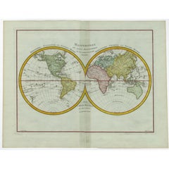
Original Engraved Antique Map of the World, Colorful and Decorative, C.1780

Original Engraved Antique Map of the World, Colorful and Decorative, C.1780

By Pierre François Tardieu

Located in Langweer, NL

Antique map titled 'Mappemonde en Deux Hemispheres ou l'on a Indique les Nouvelles Decouvertes' - This handsome double hemisphere map presents a view of the physical world with parti...

Category

Antique 18th Century Maps

Materials

Paper

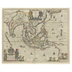
Original Blaeu Map of Southeast Asia from India to Tibet and Japan to New Guinea

Original Blaeu Map of Southeast Asia from India to Tibet and Japan to New Guinea

Located in Langweer, NL

Antique map titled 'India quae Orientalis dicitur et Insulae Adiacentes'. Beautiful map of Southeast Asia, extending from India to Tibet to Japan to New Guinea. It was the first po...

Category

Antique 1640s Maps

Materials

Paper

Antique Map of the World in Hemispheres by Keizer & de Lat, 1788

Antique Map of the World in Hemispheres by Keizer & de Lat, 1788

Located in Langweer, NL

Antique map titled 'Schuine Ronde Aard-Bolle waar van 't Middelpunt is Amsterdam (..)'. Interesting double hemisphere world map on polar projections. In North America, there is a lar...

Category

Antique Late 18th Century Maps

Materials

Paper

Antique Map of the World with California as an Island, 1788

Antique Map of the World with California as an Island, 1788

Located in Langweer, NL

Description: Antique map titled 'De wareld in een ronde gedaante van de Noord Pool te zien - De Wareld verbeeld in de gedaante van een hard'. This interesting composition contains th...

Category

Antique 1780s Maps

Materials

Paper

Antique Map of the World in 12 Globe Gores by Scherer, 'circa 1702'

Antique Map of the World in 12 Globe Gores by Scherer, 'circa 1702'

Located in Langweer, NL

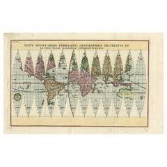
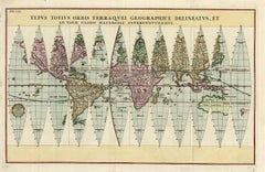
Antique map titled 'Typus Totius Orbis Terraquei Geographice Delineatus, Et Ad Usum Globo Materiali Superinducendus'. Beautiful example of Scherer's map of the World, configured in 1...

Category

Antique Early 18th Century German Maps

Materials

Paper

People Also Browsed

Colored wall map of the WORLD

Colored wall map of the WORLD

$27,497Sale Price|20% Off

H 45 in W 57 in D 0.8 in

Colored wall map of the WORLD

By Chambon

Located in ZWIJNDRECHT, NL

“Mappe Monde, contenant les Parties Connues du Globe Terrestre” CHAMBON, Gobert-Denis (France, 17.. - 1781) Paris, Longchamps et Janvier, 1754 Size H. 115 x W. 145 cm. Gobert-Denis...

Category

Antique Mid-18th Century French French Provincial Maps

Materials

Wood, Paper

AMERICAE - Sive Novi Orbis, Nova Descriptio

AMERICAE - Sive Novi Orbis, Nova Descriptio

By Abraham Ortelius

Located in Santa Monica, CA

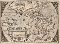
ABRAHAM ORTELIUS (1527 - 1598) AMERICAE SIVE NOVI ORBIS, NOVA DESCRIPTIO, 1587 (1603) (Van Den Broecke 11, Burden 64; Schwartz & Ehrenberg 69) Engraving. A very good, well printed...

Category

16th Century Old Masters Landscape Prints

Materials

Engraving
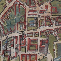
Map of Cambridge, c.1572 engraving by Braun & Hogenberg

Map of Cambridge, c.1572 engraving by Braun & Hogenberg

Located in London, GB

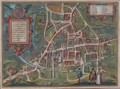
To see our other views of Oxford and Cambridge, scroll down to "More from this Seller" and below it click on "See all from this Seller" - or send us a message if you cannot find the ...

Category

16th Century Realist Landscape Prints

Materials

Engraving
Get Updated with New Arrivals
Save "Nova Totius Terrarum Orbis Tabula", and we’ll notify you when there are new listings in this category.