
Old School Maps

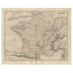
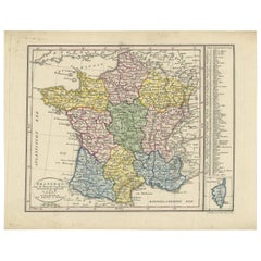
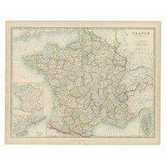
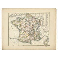
Antique Map of France from an Old Dutch School Atlas, 1852

Antique Map of France from an Old Dutch School Atlas, 1852

Located in Langweer, NL

Antique map titled 'Frankrijk'. Map of France. This map originates from 'School-Atlas van alle deelen der Aarde' by Otto Petri. Artists and Engravers: Published by A. Baedeker (Otto ...

Category

Antique 19th Century Maps

Materials

Paper
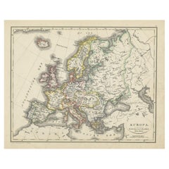
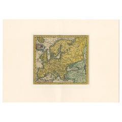
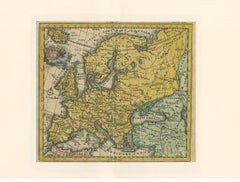
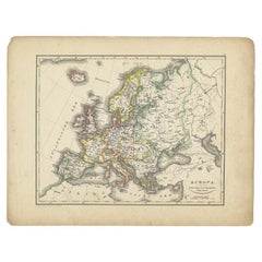
Antique Map of Europe from an Old Dutch School-Atlas, 1852

Antique Map of Europe from an Old Dutch School-Atlas, 1852

Located in Langweer, NL

Antique map titled 'Europa'. Map of Europe. This map originates from 'School-Atlas van alle deelen der Aarde' by Otto Petri. Artists and Engravers: Published by A. Baedeker (Otto...

Category

Antique 19th Century Maps

Materials

Paper
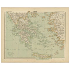
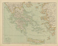
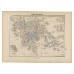
Antique Map of Greece from an Old French School Atlas, 1880

Antique Map of Greece from an Old French School Atlas, 1880

Located in Langweer, NL

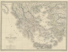
Antique map titled 'Grèce Moderne '. Old map of Greece and surroundings. This map originates from 'Géographie Universelle Atlas-Migeon' by J. Migeon. Artists and Engravers: Published...

Category

Antique 19th Century Maps

Materials

Paper
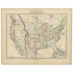
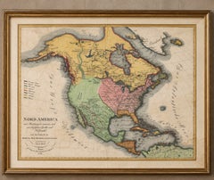
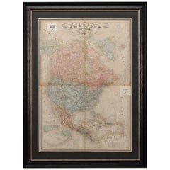
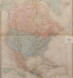
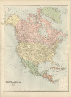
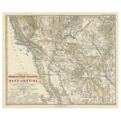
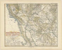
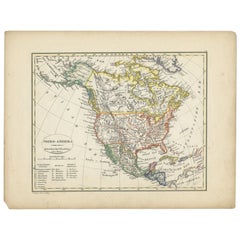
Antique Map of North America from an Old Dutch School Atlas, 1852

Antique Map of North America from an Old Dutch School Atlas, 1852

Located in Langweer, NL

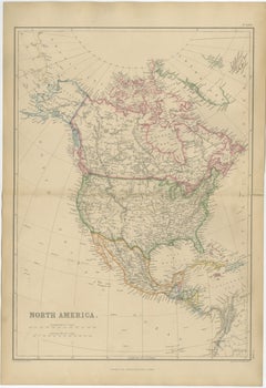
Antique map titled 'Noord-Amerika'. Map of North America. This map originates from 'School-Atlas van alle deelen der Aarde' by Otto Petri. Artists and Engravers: Published by A. Baed...

Category

Antique 19th Century Maps

Materials

Paper
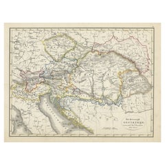
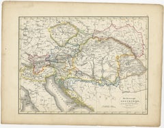
Original Antique Map of Austria from an Old Dutch School Atlas, 1852

Original Antique Map of Austria from an Old Dutch School Atlas, 1852

Located in Langweer, NL

Antique map titled 'Het Keizerrijk Oostenrijk'. Map of the Austrian Empire. This map originates from 'School-Atlas van alle deelen der Aarde' by Otto Petri. Artists and Engra...

Category

Antique 1850s Maps

Materials

Paper

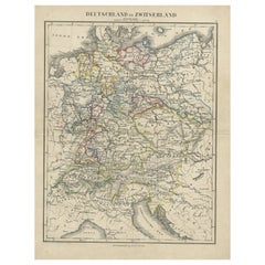
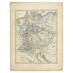
Antique Map of Germany and Switzerland from an Old Dutch School Atlas, 1852

Antique Map of Germany and Switzerland from an Old Dutch School Atlas, 1852

Located in Langweer, NL

Antique map titled 'Duitschland en Zwitersland'. Map of Germany and Switzerland. This map originates from 'School-Atlas van alle deelen der Aarde' by Otto Petri. Artists and Engraver...

Category

Antique 19th Century Maps

Materials

Paper
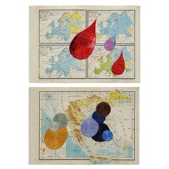
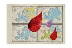
Untitled Diptych, Hand Embroidery on paper. From the series Cartografía

Untitled Diptych, Hand Embroidery on paper. From the series Cartografía

By Ana Seggiaro

Located in Miami Beach, FL

This search leads her to tackle larger works. Thus, she recovers old school maps worn by use, where the black rubber acquires a broken texture, generating a topography like that of s...

Category

2010s Argentine Aesthetic Movement Decorative Art

Materials

Textile, Paper

Recent Sales

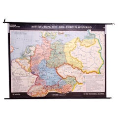
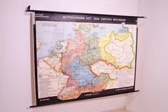
German Vintage school map of Central Europe, 1961

German Vintage school map of Central Europe, 1961

Unavailable

H 57.88 in W 85.44 in D 1.97 in

German Vintage school map of Central Europe, 1961

Located in Prague 8, CZ

Old Vintage school paper map of Central Europe.

Category

Mid-20th Century German Mid-Century Modern Posters

Materials

Wood, Paper

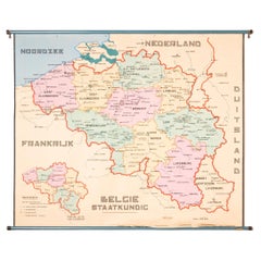
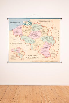
XL Old School Map of Belgium 'Printed by Procure', 1950s

XL Old School Map of Belgium 'Printed by Procure', 1950s

Located in Oostende, BE

XL Old school map of Belgium (Printed by Procure).

Category

Vintage 1950s Belgian Mid-Century Modern Maps

Materials

Metal

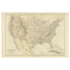
Antique Map of the United States from an Old Dutch School Atlas, 1873

Antique Map of the United States from an Old Dutch School Atlas, 1873

Located in Langweer, NL

Old map depicting the United States. This map originates from 'School-Atlas van alle Deelen der Aarde'.

Category

Antique 1870s Maps

Materials

Paper

Kano School ca 1700 Scene Edo Period Scroll Japan 17/18c Artist Tosa Mitsunari

Kano School ca 1700 Scene Edo Period Scroll Japan 17/18c Artist Tosa Mitsunari

Located in Amsterdam, Noord Holland

As you can see, the "Edo period" Kano school old painting Unryu Horaiyama map / with a box.

Category

Antique Early 18th Century Japanese Edo Paintings and Screens

Materials

Silk

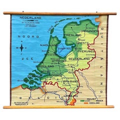
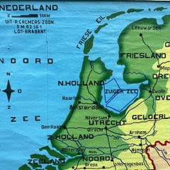
School Chart or Pull Down Map of Geography of the Netherlands, 1950s

School Chart or Pull Down Map of Geography of the Netherlands, 1950s

Located in Hemiksem, VAN

A beautiful old school map of the Netherlands, painted on linen.

Category

Vintage 1950s Belgian Mid-Century Modern Maps

Materials

Linen, Paint

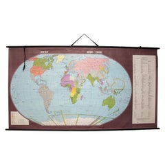
Czechoslovak Vintage Maps of the World in 1918-1938

Czechoslovak Vintage Maps of the World in 1918-1938

Sold

H 80.71 in W 44.49 in D 1.97 in

Czechoslovak Vintage Maps of the World in 1918-1938

Located in Prague 8, CZ

Old vintage school paper map of World in 1918-1938.

Category

Vintage 1980s Czech Maps

Materials

Paper

You May Also Like

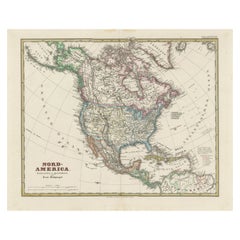
Old German Map of Northern America with Attractive Hand Colouring, 1864

Old German Map of Northern America with Attractive Hand Colouring, 1864

Located in Langweer, NL

Interesting German map of Northern America in a handsome coloring. Genuine antique hand colored map of North America, with handsome detail, in German detailed, drawn by the famous sk...

Category

Antique 1860s German Maps

Materials

Paper

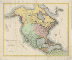
Large Antique Map of North America, United States & Canada, 1806

Large Antique Map of North America, United States & Canada, 1806

Located in Langweer, NL

TITLE: Large Antique Map of North America, United States & Canada, 1806 DESCRIPTION: Large and highly decorative original hand-colored copper engraving map of North America, publish...

Category

Antique Early 19th Century Austrian Neoclassical Maps

Materials

Paper

Antique Map of The United States of North America, 1882

Antique Map of The United States of North America, 1882

Located in Langweer, NL

This is a historical map titled "The United States of North America, Central Part" from the 1882 Blackie Atlas. It depicts the continental United States with a high level of detail, ...

Category

Antique 1880s British Maps

Materials

Paper

Antique Map of France by Balbi '1847'

Antique Map of France by Balbi '1847'

$114Sale Price|20% Off

H 9.06 in W 11.23 in D 0.02 in

Antique Map of France by Balbi '1847'

Located in Langweer, NL

Antique map titled 'France'. Original antique map of France. This map originates from 'Abrégé de Géographie (..)' by Adrien Balbi. Published 1847.

Category

Antique Mid-19th Century Maps

Materials

Paper

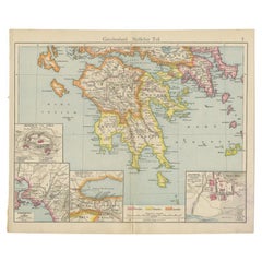
Antique Map of Southern Greece, 1892

Antique Map of Southern Greece, 1892

$56Sale Price|41% Off

H 10.04 in W 12.01 in D 0.01 in

Antique Map of Southern Greece, 1892

Located in Langweer, NL

Antique map of Greece titled 'Griechenland. Südlicher Theil'. Old map of Southern Greece with inset maps of the Acropolis of Athens, the region of Athens, Thermopylae and Olympia. So...

Category

Antique 19th Century Maps

Materials

Paper

Large Original Antique Map of The Greek Islands. 1894

Large Original Antique Map of The Greek Islands. 1894

Located in St Annes, Lancashire

Superb Antique map of The Greek Islands Published Edward Stanford, Charing Cross, London 1894 Original colour Good condition Unframed. Free shipping

Category

Antique 1890s English Maps

Materials

Paper

Antique Map of the United States of North America, c.1882

Antique Map of the United States of North America, c.1882

Located in Langweer, NL

Antique map titled 'United States of North America'. Old map of the United States of North America. This map originates from 'The Royal Atlas of Modern Geography, Exhibiting, in a Se...

Category

Antique 1880s Maps

Materials

Paper

1864 Map of North America, Antique Hand-Colored Map, by Adolphe Hippolyte Dufour

1864 Map of North America, Antique Hand-Colored Map, by Adolphe Hippolyte Dufour

Located in Colorado Springs, CO

Offered is a map of North America entitled Amerique du Nord from 1864. This rare, separately published wall map was produced by Adolphe Hippolyte Dufour. This map includes vibrant an...

Category

Antique 1860s French Maps

Materials

Paper

Antique Map of Greece and the Mediterranean by Hachette & Cie, '1896'

Antique Map of Greece and the Mediterranean by Hachette & Cie, '1896'

Located in Langweer, NL

Antique map of Greece titled 'Grèce'. Old map of Greece and other parts of the Mediterranean including Crete and the Ionian Islands. This map originates from 'Atlas de Géographie Mod...

Category

Antique Late 19th Century Prints

Materials

Paper

Antique Map of France by Van Baarsel (c.1820)

Antique Map of France by Van Baarsel (c.1820)

$204

H 9.73 in W 12.13 in D 0.02 in

Antique Map of France by Van Baarsel (c.1820)

Located in Langweer, NL

'Frankrijk naar de nieuwste bepalingen meerendeels gevolgd naar Lapie'. Beautiful map of France with an inset map of the island of Corsica. Includes a table with reference to the dep...

Category

Antique Early 19th Century Dutch Maps

Materials

Paper

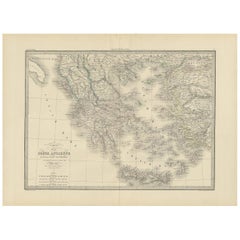
Antique 1842 Map of Greece by Pierre M. Lapie, Mid-19th Century

Antique 1842 Map of Greece by Pierre M. Lapie, Mid-19th Century

$457Sale Price|20% Off

H 19.89 in W 26.78 in D 0.02 in

Antique 1842 Map of Greece by Pierre M. Lapie, Mid-19th Century

Located in Langweer, NL

Antique map titled 'Carte de la Grèce Ancienne'. Map of Greece. This map originates from 'Atlas universel de géographie ancienne et moderne (..)' by Pierre M. Lapie and Alexandre E. ...

Category

Antique Mid-19th Century French Maps

Materials

Paper

Antique Map of North America, Canada, United States and Mexico, 1860

Antique Map of North America, Canada, United States and Mexico, 1860

$331

H 21.26 in W 15.36 in D 0.01 in L 21.26 in

Antique Map of North America, Canada, United States and Mexico, 1860

Located in Langweer, NL

Antique Map of North America, Canada, United States and Mexico, 1860 This impressive nineteenth-century map of North America was published by W. G. Blackie of Scotland around 1860 a...

Category

Antique Mid-19th Century British Maps

Materials

Paper

Antique Map of North America by Lowry '1852'

Antique Map of North America by Lowry '1852'

$137Sale Price|20% Off

H 12.21 in W 9.65 in D 0.02 in

Antique Map of North America by Lowry '1852'

Located in Langweer, NL

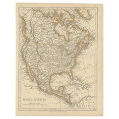
Antique map titled 'North America'. Original map of North America. This map originates from 'Lowry's Table Atlas constructed and engraved from the most recent Authorities' by J.W. Lo...

Category

Antique Mid-19th Century Maps

Materials

Paper
Antique Map of France by Johnston (1909)

Antique Map of France by Johnston (1909)

$228Sale Price|20% Off

H 19.49 in W 24.41 in D 0.02 in

Antique Map of France by Johnston (1909)

Located in Langweer, NL

Antique map titled 'France'. Original antique map of France. With inset maps of France in provinces, part of the Riviera and Corsica. This map originates from the ‘Royal Atlas of Mod...

Category

Early 20th Century Maps

Materials

Paper

Antique North America Map, Canada, USA, Mexico, Bartholomew, 1884

Antique North America Map, Canada, USA, Mexico, Bartholomew, 1884

$451

H 24.1 in W 17.84 in D 0.02 in L 24.1 in

Antique North America Map, Canada, USA, Mexico, Bartholomew, 1884

Located in Langweer, NL

Title: Antique North America Map, Canada, USA, Mexico, Bartholomew 1884 This attractive antique map of North America was produced by the renowned Scottish cartographer John Bartholo...

Category

Antique Late 19th Century Scottish Maps

Materials

Paper

Antique Map of Europe by Hederichs, circa 1740

Antique Map of Europe by Hederichs, circa 1740

$285

H 9.85 in W 13.78 in D 0.02 in

Antique Map of Europe by Hederichs, circa 1740

Located in Langweer, NL

Antique map titled 'Europa Christiani Orbis Domina'. Rare miniature map of Europe. This map originates from 'Anleitung Zu den fürnehmsten Historischen Wissenschaften, Benanntlich Der...

Category

Antique Mid-18th Century Maps

Materials

Paper

People Also Browsed

Rupert Bevan Cluedo Wallpaper - Miss Scarlet (Red)

Rupert Bevan Cluedo Wallpaper - Miss Scarlet (Red)

$171 / item

H 26.84 in W 51.19 in D 13 in

Rupert Bevan Cluedo Wallpaper - Miss Scarlet (Red)

By Rupert Bevan

Located in London, GB

Perfect for a signature wall or a complete room this fun wallpaper has done nothing but make us smile, encapsulating the personality of the man behind the brand. This marbled wallp...

Category

21st Century and Contemporary British Modern Wallpaper

Materials

Polyester

French Park Bench
French Park Bench

French Park Bench

$6,500

H 32 in W 200 in D 29 in

French Park Bench

Located in Bloomfield Hills, MI

Gorgeous French park bench that was recently restored in a brilliant green color. This bench is simple yet exquisite and would elevate any garden space.

Category

Early 20th Century French Benches

Materials

Iron

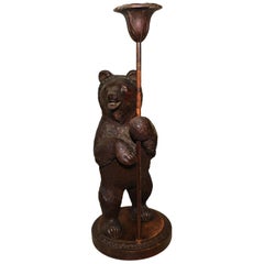
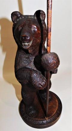
Swiss Brienz Black Forest Hand-Carved Wood Candle Holder

Swiss Brienz Black Forest Hand-Carved Wood Candle Holder

Unavailable|$1,675

H 15.75 in Dm 5.75 in

Swiss Brienz Black Forest Hand-Carved Wood Candle Holder

Located in Hamilton, Ontario

Black Forest hand-carved linden-wood hand carved candle holder/candlestick, circa 1900. Black Forest sculptural art originates from the small mountain town Brienz, Switzerland co...

Category

Early 20th Century Swiss Black Forest Animal Sculptures

Materials

Wood

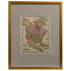
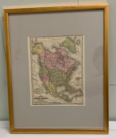
Framed 1839 Hand Colored Map of the United States

Framed 1839 Hand Colored Map of the United States

Located in Stamford, CT

Framed hand colored map of the United States of America from 1839. Newly framed in a giltwood frame.

Category

Antique 1830s American American Classical Maps

Materials

Giltwood, Paper, Glass

Original antique Empire Armchair circa 1860-1880 Massive Mahogany bronze

Original antique Empire Armchair circa 1860-1880 Massive Mahogany bronze

Located in Berlin, DE

Original Empire armchair circa 1860-1880 massive mahogany 2 beautiful armchairs from an Empire room. Each 2 figures provided cast bronze. The chairs have a nice curve, in a top...

Category

Antique Mid-19th Century French Empire Armchairs

Materials

Mahogany

Antique Religious Print 'No. 33' Pilate Washing His Hands, circa 1840

Antique Religious Print 'No. 33' Pilate Washing His Hands, circa 1840

Located in Langweer, NL

Antique print titled ‘Histoire Sainte, Nouveau Testament, Pilate lave ses Mains.’ This plate shows a scene from the New Testament; Pilate washing his Hands.’ This print originates...

Category

Antique Mid-19th Century Prints

Materials

Paper

Original Antique Greek Mythology Print After J.M.W Turner. C.1850

Original Antique Greek Mythology Print After J.M.W Turner. C.1850

Located in St Annes, Lancashire

Great image after J.M.W Turner Fine steel engraving Published by Virtue, C.1850 Unframed. Free shipping

Category

Antique 1850s English Classical Greek Prints

Materials

Paper

1830 Mexico and United States Framed Map

1830 Mexico and United States Framed Map

$1,450

H 18 in W 16 in D 1.25 in

1830 Mexico and United States Framed Map

Located in Stamford, CT

Map of North America published circa 1830. Map shows United States into Canada. Mexico extending into the upper California territory. Texas appears in name but prior to the period of...

Category

Antique 1830s American American Classical Maps

Materials

Glass, Wood, Paper

a Pair of Newly Upholstered French Empire Armchairs One Stamped  J. Louis

a Pair of Newly Upholstered French Empire Armchairs One Stamped J. Louis

$8,000Sale Price / item|20% Off

H 37 in W 29 in D 30 in

a Pair of Newly Upholstered French Empire Armchairs One Stamped J. Louis

Located in Vancouver, British Columbia

A classic pair of French Empire period open armchairs in well figured and carved mahogany; each with a square back topped by a bow shaped carved frieze featuring folliate rosettes an...

Category

Antique Early 19th Century French Empire Armchairs

Materials

Mahogany

French 19th Century Empire Three-Piece Seating Group

French 19th Century Empire Three-Piece Seating Group

$26,000 / set

H 35.4 in W 27 in D 25 in

French 19th Century Empire Three-Piece Seating Group

Located in New York, NY

Three-piece group of empire seating includes canape and two bergeres canape - H 36 in; bergere - H 35-1/4.  

Category

Antique 19th Century French Empire Armchairs

Materials

Wood

Antique Map of North America by Levasseur, 1875

Antique Map of North America by Levasseur, 1875

$439

H 18.71 in W 24.02 in D 0.02 in

Antique Map of North America by Levasseur, 1875

Located in Langweer, NL

Antique map titled 'Carte générale de l'Amérique Septentrionale'. Large map of North America. This map originates from 'Atlas de Géographie Moderne Physique et Politique' by A. Levas...

Category

Antique Late 19th Century French Maps

Materials

Paper

Antique Map of North America by Pierre M. Lapie, Paper, France, 1842

Antique Map of North America by Pierre M. Lapie, Paper, France, 1842

Located in Langweer, NL

Antique map titled 'Carte de l'Amérique septentrionale'. Map of North America, with an inset map of the Aleutian Islands. This map originates from 'Atlas universel de géographie anci...

Category

Antique Mid-19th Century French Maps

Materials

Paper

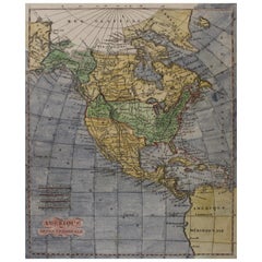
Early 19th Century Hand Coloured Map of North America by Aaron Arrowsmith

Early 19th Century Hand Coloured Map of North America by Aaron Arrowsmith

By Aaron Arrowsmith

Located in Hamilton, Ontario

Hand coloured map in French by English cartographer Aaron Arrowsmith (1750–1823) titled "Amerique Septentionale" (North America). Map size: 9.5" x 8" Mat size: 20.5" x 14.25".

Category

Antique Early 19th Century English Maps

Materials

Paper

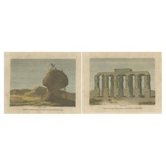
Engravings of Egypt's Sphinx and Hermopolis: Early European Exploration, c.1795

Engravings of Egypt's Sphinx and Hermopolis: Early European Exploration, c.1795

$127Sale Price / set|20% Off

H 8.19 in W 10.63 in D 0 in

Engravings of Egypt's Sphinx and Hermopolis: Early European Exploration, c.1795

Located in Langweer, NL

The two engravings displayed side by side depict monumental structures from ancient Egypt and are dated to the late 18th century. They are both examples of European interest in docum...

Category

Antique Late 18th Century Prints

Materials

Paper

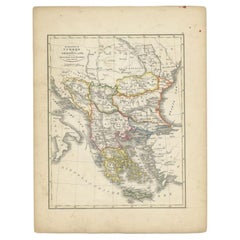
Antique Map of Turkey and Greece, 1852

Antique Map of Turkey and Greece, 1852

$109Sale Price|20% Off

H 13.59 in W 10.63 in D 0 in

Antique Map of Turkey and Greece, 1852

Located in Langweer, NL

Antique map titled 'Europisch Turkije en Griekenland'. Map of Turkey in Europe and Greece. This map originates from 'School-Atlas van alle deelen der Aarde' by Otto Petri. Artist...

Category

Antique 19th Century Maps

Materials

Paper
Antique Map of Part of the United States Including Lower California & Arizona

Antique Map of Part of the United States Including Lower California & Arizona

$402Sale Price|20% Off

H 15.08 in W 18.75 in D 0.02 in

Antique Map of Part of the United States Including Lower California & Arizona

Located in Langweer, NL

Antique map of part of the United States of America including Lower California, Arizona and part of Mexico. This map was part of a set of six individual sheets with maps of the Unite...

Category

Antique Late 19th Century Maps

Materials

Paper
Get Updated with New Arrivals
Save "Old School Maps", and we’ll notify you when there are new listings in this category.

Old School Maps For Sale on 1stDibs

There is a range of old school maps for sale on 1stDibs. The range of distinct old school maps — often made from paper, wood and fabric — can elevate any home. Old school maps have been made for many years, and versions that date back to the 18th Century alongside those produced as recently as the 20th Century. Old school maps bearing mid-century modern or Art Deco hallmarks are very popular at 1stDibs. Old school maps have been a part of the life’s work for many furniture makers, but those produced by Antonio Vallardi Editore, Thomas Kitchin and Pierre Mortier are consistently popular.
How Much are Old School Maps?

Prices for old school maps start at $102 and top out at $42,568 with the average selling for $244.
Read More