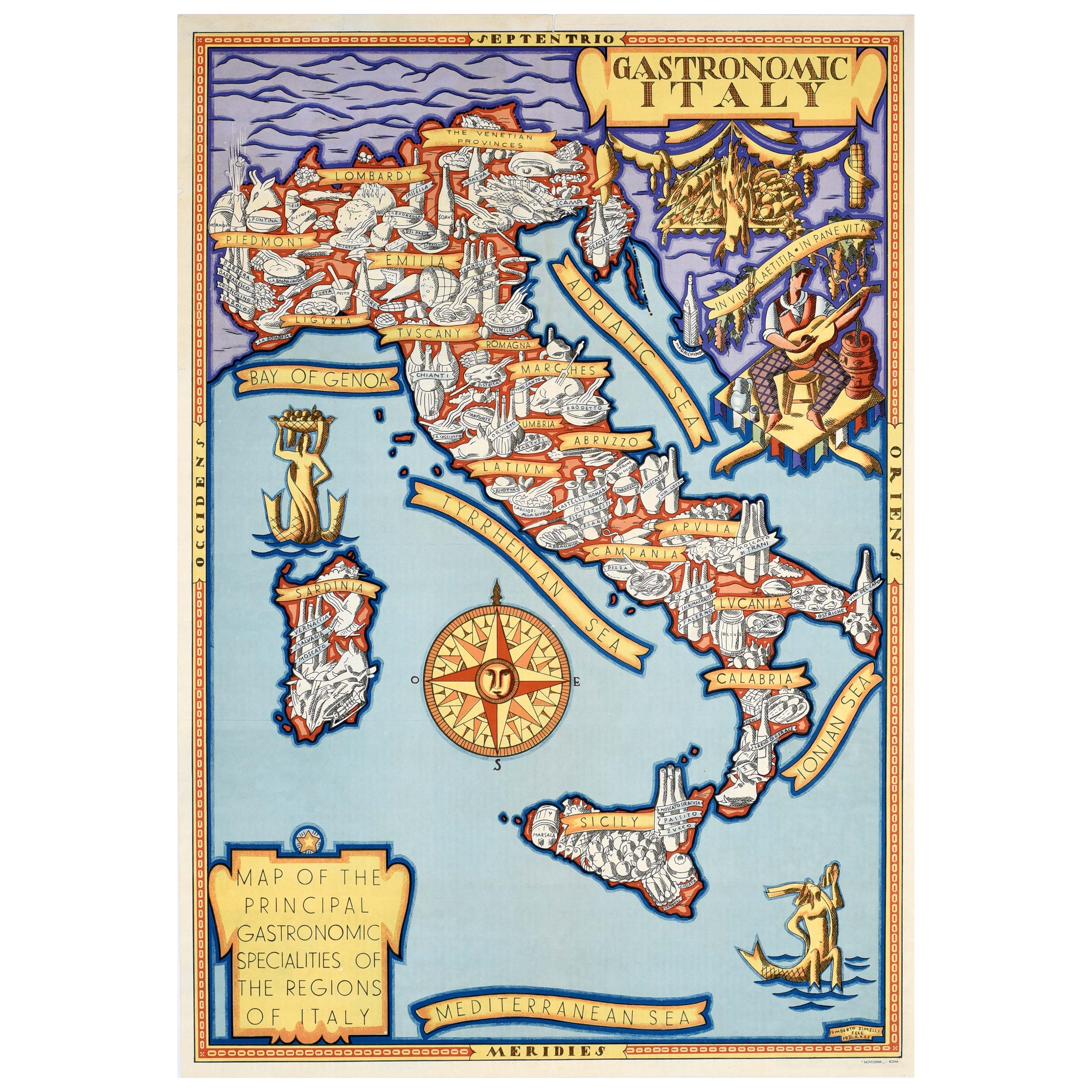

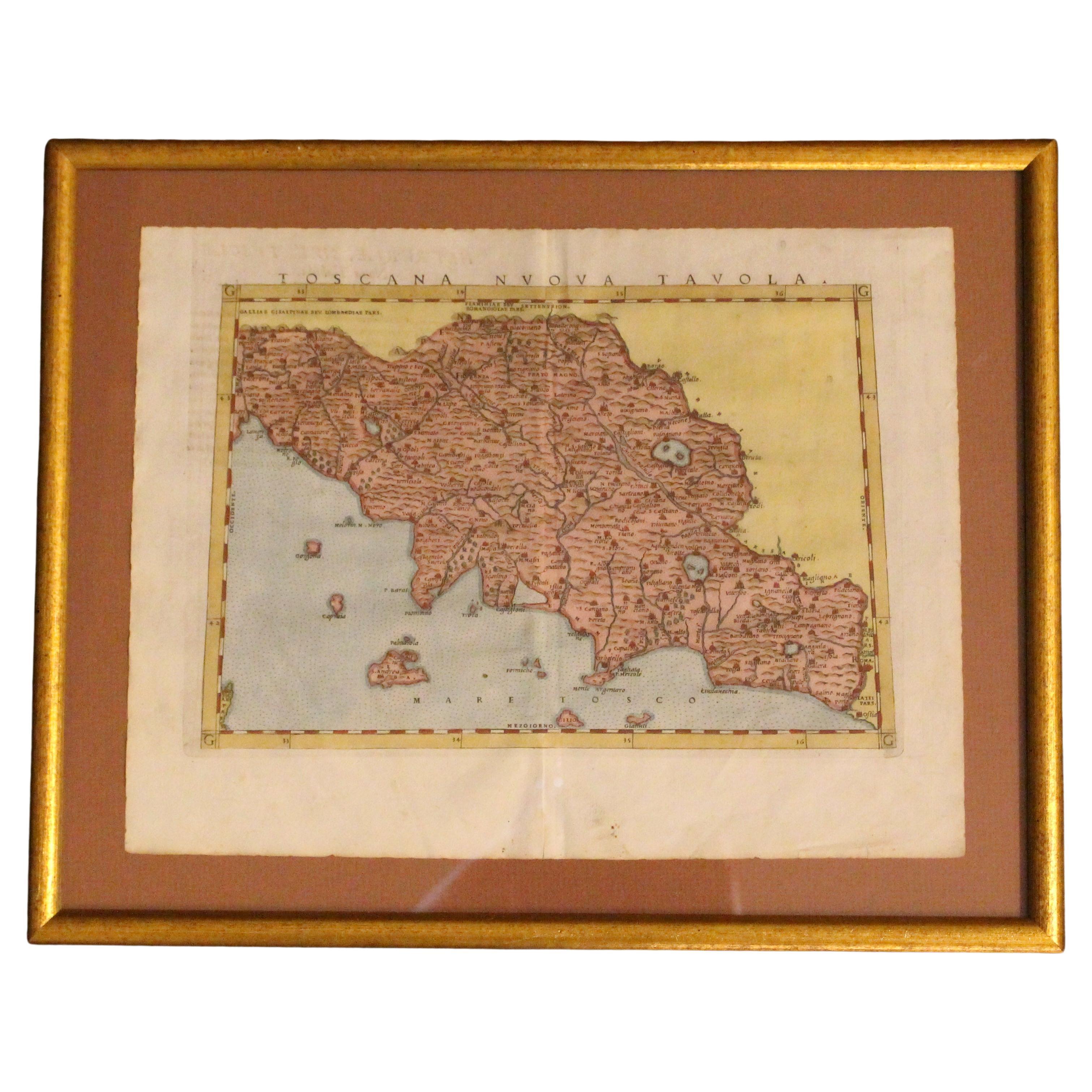
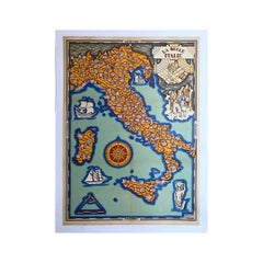
Illustrated map of Italy by Umberto Zimelli dating from 1933
Located in PARIS, FR
Very nice illustrated map of Italy dating from 1933. Italy - Tourism
Category
1930s Prints and Multiples
Materials
Linen, Paper, Lithograph
1934

Illustrated map of Italy by Umberto Zimelli dating from 1933
Located in PARIS, FR
Very nice illustrated map of Italy dating from 1933. Italy - Tourism
Linen, Paper, Lithograph
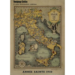
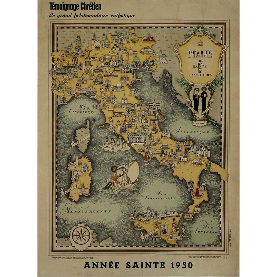
1950 illustrated map Italy, Land of Saints and Sanctuaries
Located in PARIS, FR
In 1950, a highly detailed and artistically illustrated map titled Italie Terre de Saints et de Sanctuaires (Italy, Land of Saints and Sanctuaries) was published in Témoignage Chréti...
Linen, Paper, Lithograph
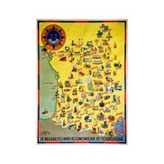
Circa 1935 map illustrated by André Giroux of the P.O Midi railroad network.
Located in PARIS, FR
Very beautiful map illustrated by André Giroux of the P.O Midi railroad network. The railway company from Paris to Orleans and the Midi (PO Midi) is the n...
Linen, Paper, Lithograph
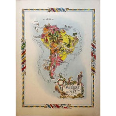
Jacques Liozu's 1951 illustrated map of South America
By Jacques Liozu
Located in PARIS, FR
Jacques Liozu's 1951 illustrated map of South America is an exceptional work of cartography that skilfully blends art and geography. French artist and cartographer Jacques Liozu crea...
Paper, Lithograph

Circa 1950 original illustrated map "Carte des Montagnes Suisses"
Located in PARIS, FR
The circa 1950 original illustrated map "Carte des Montagnes Suisses" by L. Koller is a beautifully crafted representation of Switzerland's mountainous regions, combining geographica...
Linen, Paper, Lithograph
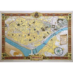
1950 original map by Garcia Fuentes Manuel - Sevilla Perspectiva General
Located in PARIS, FR
The 1950 original map by Garcia Fuentes Manuel, titled "Sevilla Perspectiva General," offers a comprehensive and detailed overview of Seville as it stood...
Linen, Paper, Lithograph
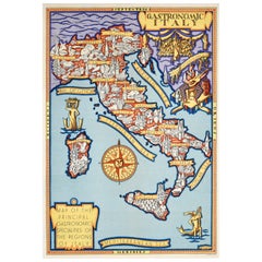
Original Vintage Food And Drink Advertising Poster Gastronomic Italy Map Zimelli
Located in London, GB
Original vintage food and drink advertising poster - Gastronomic Italy Map of the Principal gastronomic Specialities of the Regions of Italy - featuring a colourful illustrated map b...
Paper
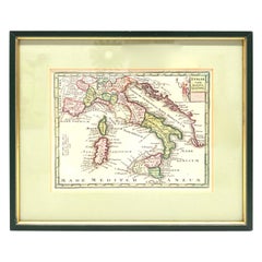
1970s Framed Antique Map of Italy 1746 Original
Located in Nuernberg, DE
An extraordinary original antique map, framed in the 1970s by Brehm Nuremberg, Germany, showing Italy. Map is dated 1746 and approx. 7 ¼" wide and 5 ¾" high in viewable size. Framed ...
Glass, Wood
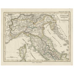
Antique Map of Italy and Corse in Ancient Times, 1848
Located in Langweer, NL
Antique map titled 'Italia Superior et Corsica'. Old map of northern Italy and Corse originating from 'Orbis Terrarum Antiquus in usum Scholarum'. Artists and Engravers: Publishe...
Paper
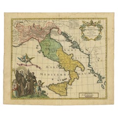
Unusual Benedictine Map of Italy, Showing Various States of the Church, C.1745
Located in Langweer, NL
Antique map titled 'Italia Benedictina Delineata A.P.R.C.P.W.' Unusual Benedictine map of Italy, showing the various states of the church, with an elaborate cartouche. Part of a seri...
Paper
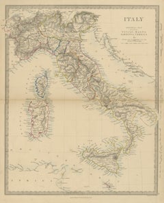
Antique Map of Italy Before Unification with Sicily, Malta and Corsica, 1858
Located in Langweer, NL
This is an original antique map of Italy, a steel engraving colored by hand, titled "ITALY GENERAL MAP INCLUDING SICILY, MALTA SARDINIA, CORSICA &c." It covers the peninsula from...
Paper
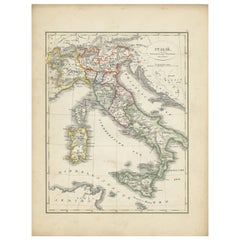
Antique Map of Italy with Hand-Colored Borders, 1852
Located in Langweer, NL
Antique map titled 'Italië'. Map of Italy. This map originates from 'School-Atlas van alle deelen der Aarde' by Otto Petri. Artists and Engravers: Published by A. Baedeker (Otto Petr...
Paper