Want more images or videos?
Request additional images or videos from the seller.

Unknown
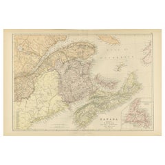
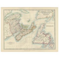
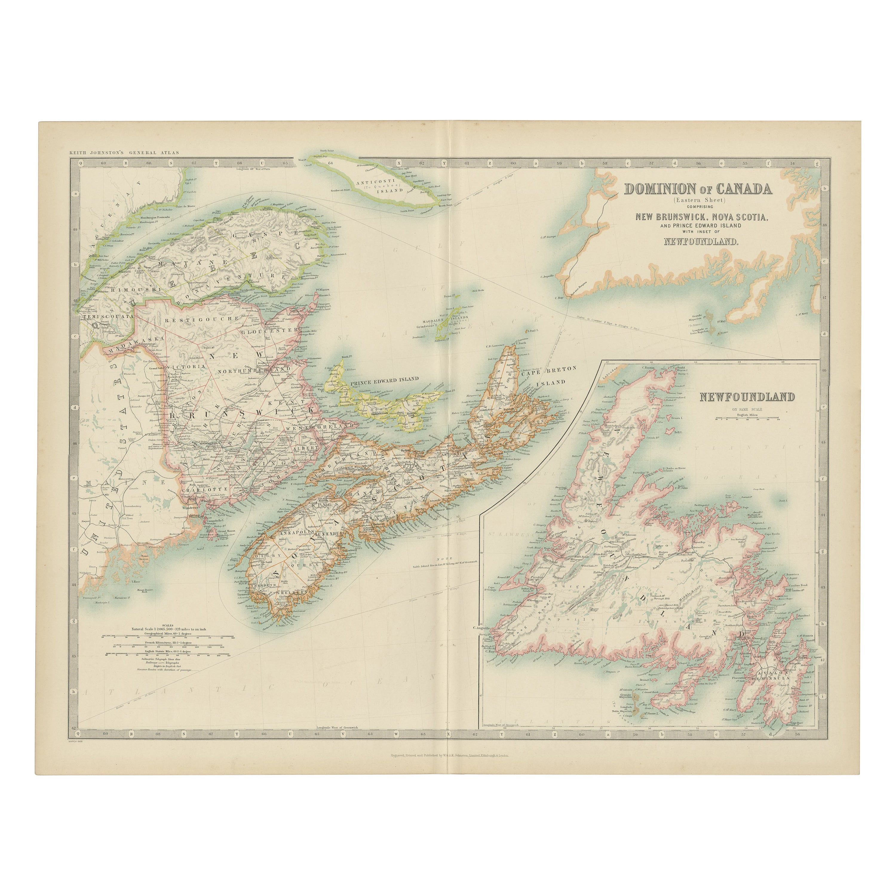
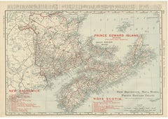
New Brunswick, Nova Scotia and Prince Edward Island, Canada. Century Atlas map

1903

$85
£65.52
€78.37
CA$123.61
A$140.18GST Included
CHF 72.41
MX$1,613.10
NOK 829.17
SEK 868.66
DKK 585.90

About the Item

'The Century Atlas. New Brunswick, Nova Scotia and Prince Edward Island, Canada.' Original antique map, 1903. Inset map of Newfoundland. Central fold as issued. Map name and number printed on the reverse corners. Sheet 29.5cm by 40cm.
  • Creation Year:
    1903
  • Dimensions:
    Height: 11.62 in (29.5 cm)Width: 15.95 in (40.5 cm)
  • Medium:
  • Movement & Style:
  • Period:
  • Condition:
  • Gallery Location:
    Melbourne, AU
  • Reference Number:
    1stDibs: LU1244211224392

More From This Seller

View All
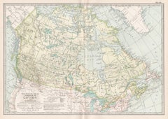
Canada and Newfoundland. Century Atlas antique vintage map

Canada and Newfoundland. Century Atlas antique vintage map

Located in Melbourne, Victoria

'The Century Atlas. Dominion of Canada and Newfoundland.' Original antique map, 1903. Central fold as issued. Map name and number printed on the reverse corners. Sheet 29.5cm by 40...

Category

Early 20th Century Victorian More Prints

Materials

Lithograph
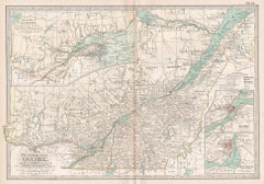
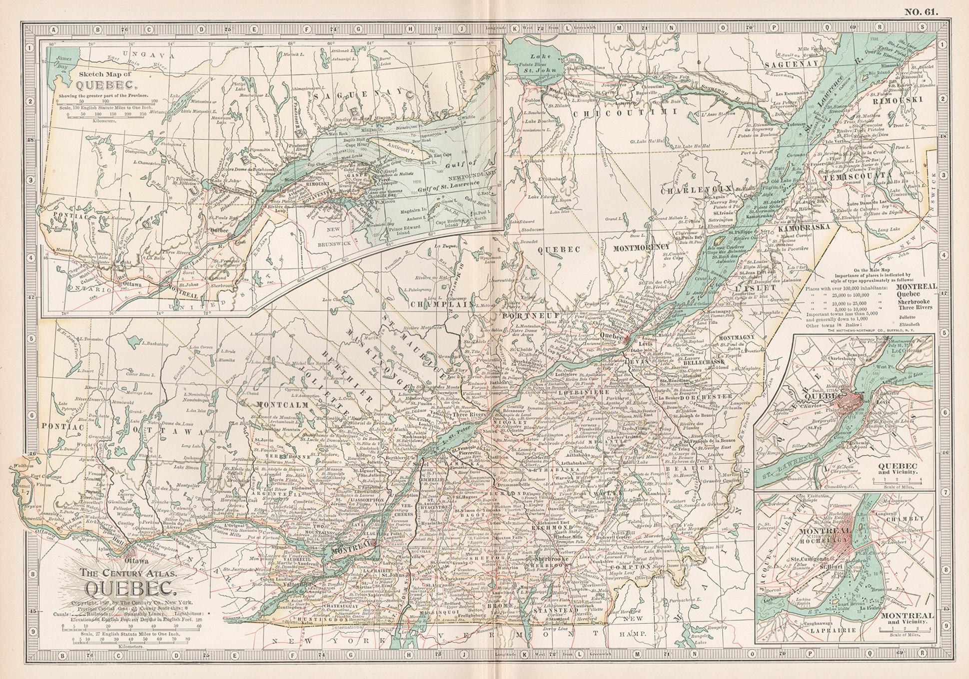
Quebec. Canada. Century Atlas antique vintage map

Quebec. Canada. Century Atlas antique vintage map

Located in Melbourne, Victoria

'The Century Atlas. Quebec' Original antique map, 1903. Inset maps 'Sketch Map of Quebec', Quebec and Vicinity; and 'Montreal and Vicinity'. Central fo...

Category

Early 20th Century Victorian More Prints

Materials

Lithograph
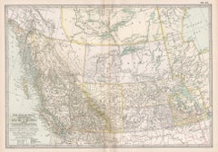
Manitoba, British Columbia and NW Territories, Canada. Century Atlas antique map

Manitoba, British Columbia and NW Territories, Canada. Century Atlas antique map

Located in Melbourne, Victoria

'The Century Atlas. Manitoba, British Columbia and the Northwest Territories, Canada, North America.' Original antique map, 1903. Central fold as issued. Map name and number printe...

Category

Early 20th Century Victorian More Prints

Materials

Lithograph
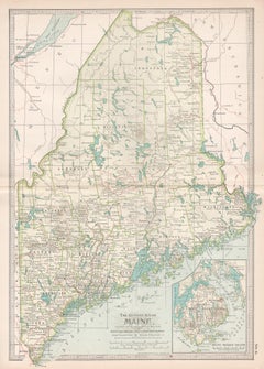
Maine. USA Century Atlas state antique vintage map

Maine. USA Century Atlas state antique vintage map

Located in Melbourne, Victoria

'The Century Atlas. Maine' Original antique map, 1903. Central fold as issued. Map name and number printed on the reverse corners. Sheet 40cm by 29.5cm.

Category

Early 20th Century Victorian More Prints

Materials

Lithograph
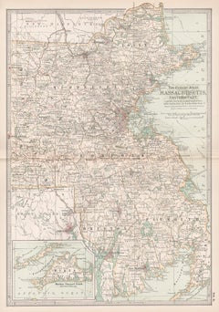
Massachusetts, Eastern Part. USA. Century Atlas state antique vintage map

Massachusetts, Eastern Part. USA. Century Atlas state antique vintage map

Located in Melbourne, Victoria

'The Century Atlas. Massachusetts, Eastern Part' Original antique map, 1903. Central fold as issued. Map name and number printed on the reverse corners. Sheet 40cm by 29.5cm.

Category

Early 20th Century Victorian More Prints

Materials

Lithograph
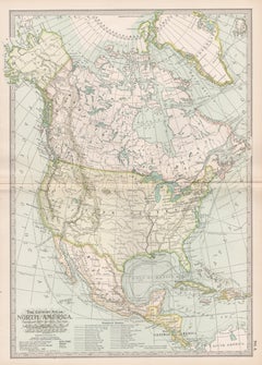
North America. Century Atlas antique vintage map

North America. Century Atlas antique vintage map

Located in Melbourne, Victoria

'The Century Atlas. North America' Original antique map, 1903. Central fold as issued. Map name and number printed on the reverse corners. Sheet 40cm by 29.5cm.

Category

Early 20th Century Victorian More Prints

Materials

Lithograph
You May Also Like

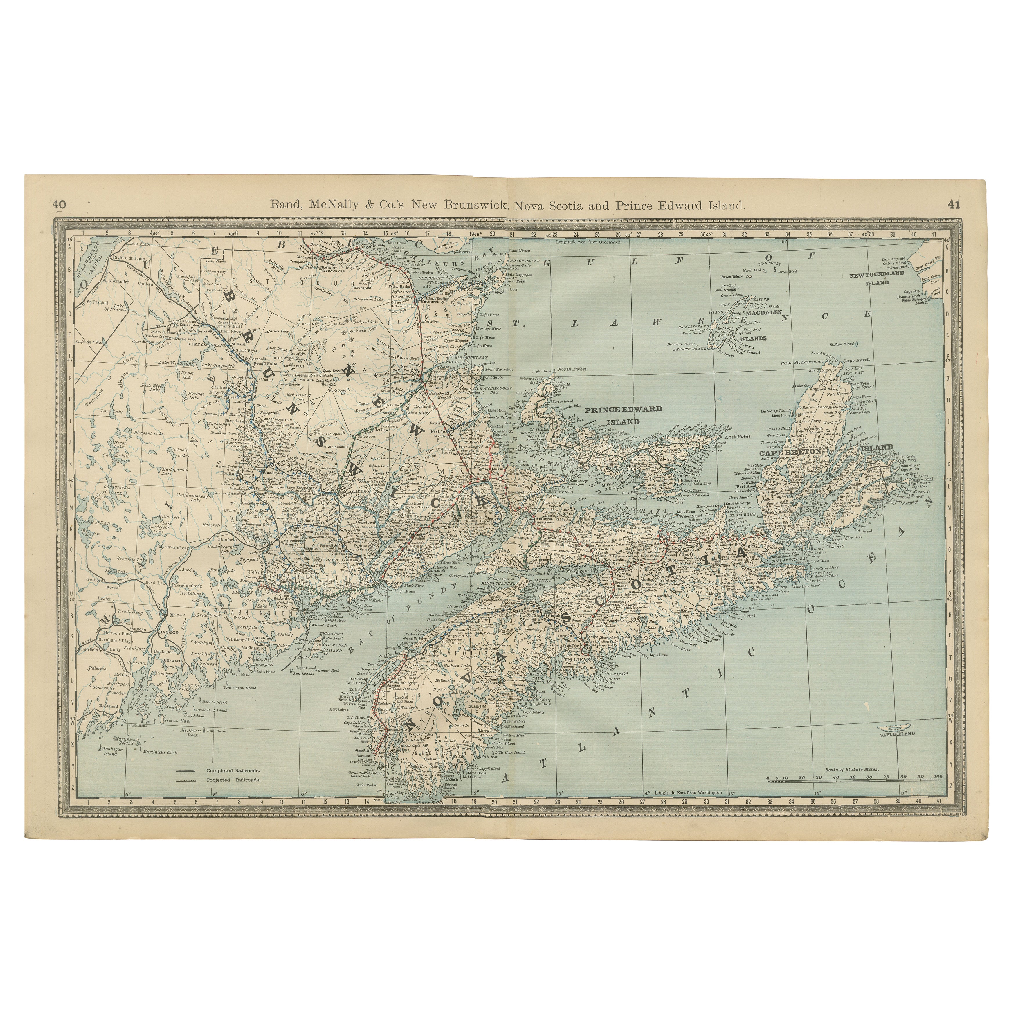
Antique Maritimes Map, New Brunswick, Nova Scotia and Prince Edward Island, 1899

Antique Maritimes Map, New Brunswick, Nova Scotia and Prince Edward Island, 1899

By Rand McNally & Co.

Located in Langweer, NL

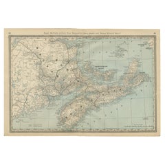
An antique map of New Brunswick, Nova Scotia and Prince Edward Island, printed by Rand McNally in 1899 on page 372 of its indexed atlas, this sheet brings the three Maritime Province...

Category

Antique Late 19th Century American Late Victorian Maps

Materials

Paper

Nova Scotia, New Brunswick & Prince Edward Island Antique Map c.1888

Nova Scotia, New Brunswick & Prince Edward Island Antique Map c.1888

Located in Langweer, NL

Antique Map of Nova Scotia, New Brunswick & Prince Edward Island – Rand McNally, circa 1888 This antique map of the Maritime Provinces of Canada was published by Rand, McNally & Co....

Category

Antique Late 19th Century American Maps

Materials

Paper

Antique Map of New Brunswick, Nova Scotia, Prince Edward Island and Canada East

Antique Map of New Brunswick, Nova Scotia, Prince Edward Island and Canada East

Located in Langweer, NL

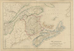
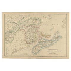
Antique Map of New Brunswick, Nova Scotia, Prince Edward Island and Canada East, 1860 This finely engraved map of eastern Canada was published by W. G. Blackie in Scotland around 18...

Category

Antique Mid-19th Century British Maps

Materials

Paper

Antique Map of Eastern Canada, Blackie Atlas, 1882, Detailed Geography

Antique Map of Eastern Canada, Blackie Atlas, 1882, Detailed Geography

Located in Langweer, NL

This is a historical map from the 1882 Blackie Atlas, focused on eastern Canada and the maritime provinces. The map is titled "Canada. No. 2. Provinces of Nova Scotia, New Brunswick,...

Category

Antique 1880s British Maps

Materials

Paper

Canada Dominion Map 1903 - A Detailed View of Eastern Canada and Newfoundland

Canada Dominion Map 1903 - A Detailed View of Eastern Canada and Newfoundland

Located in Langweer, NL

North America, 1903 - A Colorful Historical Map with Detailed Borders This attractive map of North America was engraved, printed, and published by W. & A.K. Johnston in 1903. A wond...

Category

Early 20th Century Maps

Materials

Paper