Old Masters Landscape Prints

449 Results
OLD MASTERS

Encompassing centuries of change in Europe between 1300 and 1800, from booms of prosperity to bloody revolutions, Old Masters describes a wide range of artists. The informal term was derived from the title of an artist who trained in a guild long enough to become a master, such as Leonardo da Vinci, who studied in a Florence painters’ guild. However, Old Masters paintings, prints and other art is now used to refer to work made by any artist with a high level of skill in painting, drawing, sculpture or printmaking who worked during this era.

The 15th century’s expansive trade and commerce spread culture across borders. A vibrant period of art emerged, bolstered by studies of anatomy and nature that influenced a new visual realism. From Raphael and Michelangelo in the Renaissance to Rembrandt van Rijn and Johannes Vermeer in the Dutch Golden Age, artists expressed emotion, naturalism, color and light in new ways. El Greco and Paolo Veronese were leaders in the dramatic style of Mannerism, while Caravaggio and Peter Paul Rubens demonstrated the movement and meticulous detail of Baroque art.

Historically, most attention was concentrated on male artists, but recent research and exhibitions have elevated the impactful work of women such as Rachel Ruysch and Artemisia Gentileschi. In late-18th-century France, female artists like Adélaïde Labille-Guiard and Élisabeth Vigée Le Brun were prominent names. Nevertheless, access to the academies and guilds was highly restricted for women, and even those able to establish practices were expected to adhere to portraits and still lifes rather than the grand history paintings being created by men.

Find a collection of Old Masters prints, paintings, drawings and watercolors and other art on 1stDibs.

to
59
292
116
32
7
1
Overall Width
to
Overall Height
to
380
65
5
1
1
284
3,983
3,531
825
725
652
623
371
274
122
106
68
30
18
280
159
124
57
57
56
50
40
36
33
30
27
23
22
18
14
14
13
12
12
268
181

Use search to find more

94
22
15
13
11

Use search to find more

Style: Old Masters
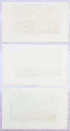
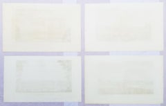
Set of Four Engravings from Nash's "History of Worcestershire" /// Landscape Art

Set of Four Engravings from Nash's "History of Worcestershire" /// Landscape Art

By Treadway Russell Nash

Located in Saint Augustine, FL

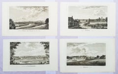
Artist: Treadway Russell Nash (English, 1724-1811) Title: "A View of Stourbridge", "A View of Upton upon Severn, from Ryal Hill", "Bewdley", and "Tenbury" Portfolio: Collections for the History of Worcestershire Year: 1781-1782 (First edition) Medium: Set of Four Original Engravings on watermarked laid paper Limited edition: Unknown Printer: John Nichols, London, UK Publisher: T. Payne and Son, J. Robson, B. White, Leigh and Sotheby, London, UK; Fletcher, Oxford, UK; and Lewis, Worcester, UK Sheet size (each): approx. 10" x 16.5" Image size (each): approx. 6.88" x 11.75" Reference: Upcott III, page 1330 Condition: A few light handling creases. Have been professionally stored away for decades. They are all strong impressions in excellent condition Notes: Provenance: private collection - Aspen, CO. All four works were engraved by English artist Thomas Sanders (Active: Mid-Late 18th Century) after drawings by himself. Comes from Nash's two volume "Collections for the History of Worcestershire", (1781-1782) (First edition), which consists of 75 engravings. Each work is printed from one copper plate in one color: black. There was a (Second edition) "with Additions" bound in with Volume II of this portfolio published by John White in 1799. And, both the First and Second editions of "Collections for the History of Worcestershire" are based off Thomas Sanders' 1779-1781 "Perspective Views of the Market Towns within the County of Worcester". Both "A View of Stourbridge" and "A View of Upton upon Severn, from Ryal Hill" have unidentified fleur-de-lis watermarks in the center of their sheets. "Bewdley" has an unidentified watermark in the center of its sheet resembling "XV" and "Tenbury" has no watermark. Biography: Treadway Russell Nash (24 June 1724 – 26 January 1811) was an English clergyman, now known as an early historian of Worcestershire and the author of Collections for the History of Worcestershire, an important source document for Worcestershire county histories. He was a fellow of the Society of Antiquaries of London. Treadway Russell Nash was born on 24 June 1724 born at Clerkenleap, in Kempsey, Worcestershire. His family were from Ombersley. They had lands there and at Claines, and had later bought lands in the Reformation around St Peter's, Droitwich. He was related to James Nash and John Nash, both MPs for Worcester. His father Richard, a grandson of Sir Rowland Berkeley, died in 1740, and Richard's eldest son in 1757. As a result, Treadway Russell Nash inherited the Russells' Strensham estates from his brother, as well as the Nash estates, and took both names. He was educated from the age of twelve at King's School, Worcester, and became a scholar at Worcester College, Oxford aged fifteen. In March 1749, he accompanied his brother on a trip to the continent, to aid Richard's health. They visited Paris for about six weeks, before spending the summer "on the banks of the Loire". They then visited "Bourdeaux, Thoulouse, Montpelier, Marseilles, Leghorn, Florence, Rome, Naples, Bologna, Venice, Padua, Verona, Milan, Lyons, and again Paris"; such expeditions are often known as the Grand Tour. On his return in late summer 1751, Nash took up a post as Vicar of Eynsham through his friend and future brother-in-law, John Martin. He also had an income as a tutor at Oxford. He took his Doctor of Divinity degree and left Oxford, having "gone out grand compounder", following the death of his brother. He also left his benefice at Eynsham in 1757. While at Oxford he had proposed a road from there to Witney (now the A40 and B4022), and also stood for Parliament. Nash married Margaret Martin...

Category

1780s Old Masters Landscape Prints

Materials

Laid Paper, Engraving
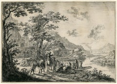
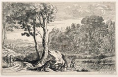
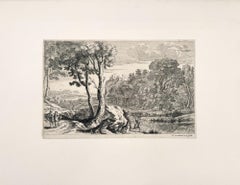
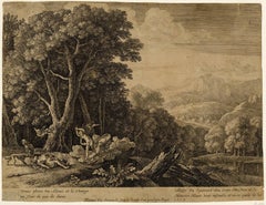
Old Master, Dutch, 17th entury, Jan Both, etching, 1640's, excellent impression

Old Master, Dutch, 17th entury, Jan Both, etching, 1640's, excellent impression

By Jan Both

Located in Fairlawn, OH

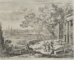
Jan Both (Dutch, Active 1636-1652) View of the Tiber in the Campagna (The Ferry) Etching, c. 1645-1652 Unsigned (as usual) in this early state Provenance and Collector's Mark verso: Petersen, Lugt 2064 verso Illustrated: Freedberg, Dutch Landscape Prints...

Category

1640s Old Masters Landscape Prints

Materials

Etching

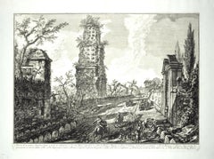
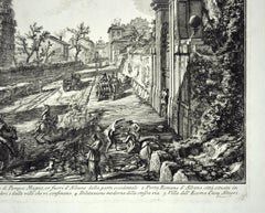
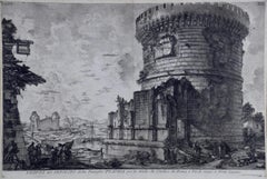
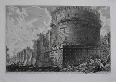
VEDUTA del SEPOLCRO della Famiglia PLAUZIA per la strada che Conduce da Roma....

VEDUTA del SEPOLCRO della Famiglia PLAUZIA per la strada che Conduce da Roma....

By Giovanni Battista Piranesi

Located in Santa Monica, CA

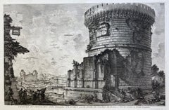
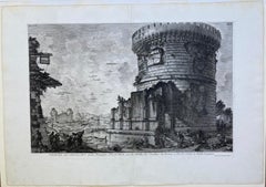
GIOVANNI BATTISTA PIRANESI (Italian 1720-1778) VEDUTA del SEPOLCRO della Famiglia PLAUZIA per la strada che Conduce da Roma a Tivoli vicino a Ponte Lugan...

Category

1750s Old Masters Landscape Prints

Materials

Etching

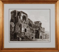
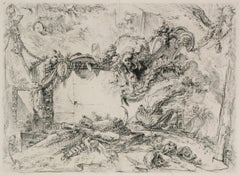
Ancient Roman Temple Architecture: An 18th Century Framed Etching by Piranesi

Ancient Roman Temple Architecture: An 18th Century Framed Etching by Piranesi

By Giovanni Battista Piranesi

Located in Alamo, CA

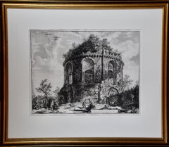
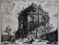
This is an 18th century etching by Giovanni Battista Piranesi entitled "Veduta del Tempio detto della Tosse su la Via Tiburtina, un miglio vicino a Tivoli" (View of the so-called Tem...

Category

1760s Old Masters Landscape Prints

Materials

Etching

Frankfort, Germany: A 16th Century Hand-colored Map by Braun & Hogenberg

Frankfort, Germany: A 16th Century Hand-colored Map by Braun & Hogenberg

By Franz Hogenberg

Located in Alamo, CA

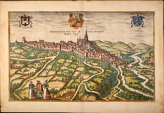
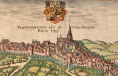
This is a 16th century original hand-colored copperplate engraved map of Frankfort, Germany entitled "Francenbergum, vel ut alij Francoburgum Hassiae Opp" by Georg Braun & Franz Hogenberg, from their famous city atlas "Civitates Orbis Terrarum", published in Cologne, Germany in 1595. This is an English translation of an excerpt from the original text in the atlas: "Frankenberg or, according to others, Francoburgum, a town in Hesse. Charlemagne vested the town of Frankenberg with many freedoms and privileges, which it still enjoys to this day, and on account of its valiant and victorious soldiers awarded a signet, upon which there formerly appeared a golden castle with a tower, together with the letter F and a golden crown. Frankenberg, seen here from the northeast, lies on a hill above the River Eder. The hillside is covered with fields neatly separated by bushes and fences. Soaring above the town is the massive Liebfrauenkirche, which was modelled on St Elizabeth's church in Marburg. The New Town was founded in 1335 at the foot of the hill (right) and merged with the Old Town as late as 1556. Frankenberg was founded by Conrad of Thuringia in 1233/34 to prevent the archbishops of Mainz from expanding their sphere of influence...

Category

16th Century Old Masters Landscape Prints

Materials

Engraving

Ancient Roman Architecture: Framed Original 18th C. Etching by G. Piranesi

Ancient Roman Architecture: Framed Original 18th C. Etching by G. Piranesi

By Giovanni Battista Piranesi

Located in Alamo, CA

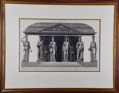
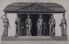
"A sua Eccellenza il Signor Henry Hope Cav. Scozzese Amatore delle Belle Arti from "Vasi, Candelabri, Cippi, Sarcofagi, Tripodi, Lucerne, Ed Ornamenti Antichi", (Vases, candelabra, grave stones, sarcophagi, tripods, lamps, and ancient ornaments) is an etching by Giovanni Battista Piranesi, published in 1778. It depicts stone caryatids...

Category

1770s Old Masters Landscape Prints

Materials

Etching

Hadrian's Mausoleum, Castel S. Angelo: A Framed 18th Century Etching by Piranesi

Hadrian's Mausoleum, Castel S. Angelo: A Framed 18th Century Etching by Piranesi

By Giovanni Battista Piranesi

Located in Alamo, CA

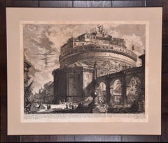
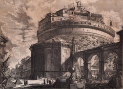
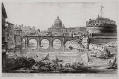
This large framed 18th century etching by Giovanni Battista Piranesi entitled "Veduta del Mausoleo d'Elio Adriana ora chiamato Castello S. Angelo nella parte opposta alla Facciata de...

Category

1750s Old Masters Landscape Prints

Materials

Etching

The West Prospect of the Cathedral of York /// "Britannia Illustrata" Engraving

The West Prospect of the Cathedral of York /// "Britannia Illustrata" Engraving

By Johannes Kip

Located in Saint Augustine, FL

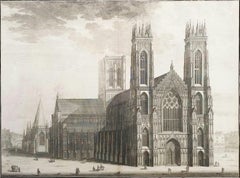
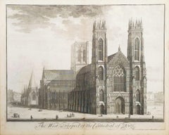
Artist: Johannes "Jan" Kip (Dutch, 1652/3-1722) Title: "The West Prospect of the Cathedral of York" (Vol. 3, Plate 31) Portfolio: Britannia Illustrata / Le Nouveau Théâtre de la Grande Bretagne Year: 1715-1724 (Third edition) Medium: Original Engraving and Etching on cream laid paper Limited edition: Unknown Printer: Joseph Smith, London, UK Publisher: Joseph Smith, London, UK Sheet size: 19.25" x 24.19" Image size: 16.75" x 22.5" Reference: "London Illustrated 1604-1850" - Adams No. 22; Crace No. 201; Brunet IV No. 114; Lowndes No. 1277; Lewine page 263-264 Condition: With centerfold as issued. Some light toning and foxing mainly in margins, and some light edgewear. Has been professionally stored away for decades. It is otherwise a strong impression in very good condition Rare Notes: Provenance: private collection - Ross-on-Wye, UK. Engraved by Dutch artist Johannes "Jan" Kip (1652/3-1722) after a drawing by Dutch artist Leonard Knyff or Leendert Knijff (1650-1722). Comes from Kip's six volume (including Supplement and 'Atlas Anglois') "Britannia Illustrata" / Le Nouveau Théâtre de la Grande Bretagne", (1724-1728) (Third edition), which consists of 394 engravings and etchings. Printed in one color from one copper plate: black. Biography: Johannes "Jan" Kip (1652/53 in Amsterdam - 1722 in Westminster) was a Dutch draftsman, engraver and print dealer. Together with Leonard Knyff, he made a speciality of engraved views of English country houses. Kip was a pupil of Bastiaen Stopendaal (1636–1707), from 1668 to 1670, before setting up on his own; his earliest dated engravings are from 1672. In April 1680, at the age of 27, he married Elisabeth Breda in Amsterdam. After producing works for the court of William of Orange in Amsterdam, Kip followed William and Mary to London and settled in St. John Street in Farringdon, where he conducted a thriving printselling business. He also worked for various London publishers producing engravings after such artists as Francis Barlow (c. 1626–1704) and Caius Gabriel Cibber (1630–1700), largely for book illustrations. He made several engraved plates for Awnsham & John Churchill's "A Collection of Voyages & Travels" (first published 1704). He signed the African scenes in volume V of the 1732 edition as "J. Kip". His most important works were the large fold-out folio illustrations for "Britannia Illustrata", 1708; for the 65 folio plates he engraved for the antiquary Sir Robert Atkyns, "The Ancient and Present State of Glostershire", 1712 (1st edition); and for "Le Nouveau Théâtre de la Grande Bretagne ou description exacte des palais de la Reine, et des Maisons les plus considerables des des Seigneurs & des Gentilshommes de la Grande Bretagne", 1715, an extended reprint in collaboration with other artists. The linked careers of Jan Kip and Leonard Knyff made a specialty of engraved views of English country houses, represented in detail from the bird's-eye view, a pictorial convention for topography. Their major work was "Britannia Illustrata: Or Views of Several of the Queens Palaces, as Also of the Principal seats of the Nobility and Gentry of Great Britain, Curiously Engraven on 80 Copper Plates", London (1707, published in the winter of 1708–9). The volume is among the most important English topographical publications of the 18th century. Architecture is rendered with care, and the settings of parterres and radiating avenues driven through woods or planted across fields, garden paths, gates and toolsheds are illustrated in detail. The images are staffed with figures and horses, coaches pulling into forecourts, water...

Category

1720s Old Masters Landscape Prints

Materials

Laid Paper, Engraving, Etching, Intaglio

Royal Hospital att Greenwich to the River /// "Vitruvius Britannicus" Engraving

Royal Hospital att Greenwich to the River /// "Vitruvius Britannicus" Engraving

By Colen Campbell

Located in Saint Augustine, FL

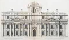
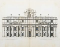
Artist: Colen Campbell (Scottish, 1676-1729) Title: "Royal Hospital att Greenwich to the River" (Vol. 1, Plates 86, 87) Portfolio: Vitruvius Britannicus; or The British Architect, Co...

Category

1710s Old Masters Landscape Prints

Materials

Engraving, Etching, Intaglio, Laid Paper

St. Jerome in the Desert

St. Jerome in the Desert

Located in Chicago, IL

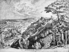
Engraving by Joannes and Lucas van Doetecum (Deventer active by 1551 - circa 1569 Haarlem) in the manner of Peter Bruegel the Elder

Category

16th Century Old Masters Landscape Prints

Materials

Engraving

Set of Three Engravings from Nash's "History of Worcestershire" /// Landscapes

Set of Three Engravings from Nash's "History of Worcestershire" /// Landscapes

By Treadway Russell Nash

Located in Saint Augustine, FL

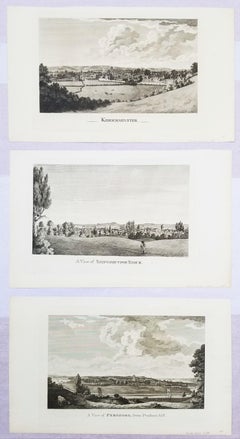
Artist: Treadway Russell Nash (English, 1724-1811) Title: "A View of Pershore, from Pensham hill", "A View of Shipston upon Stour", and "Kidderminster" Portfolio: Collections for the History of Worcestershire Year: 1781-1782 (First edition) Medium: Set of Three Original Engravings on watermarked laid paper Limited edition: Unknown Printer: John Nichols, London, UK Publisher: T. Payne and Son, J. Robson, B. White, Leigh and Sotheby, London, UK; Fletcher, Oxford, UK; and Lewis, Worcester, UK Sheet size (each): approx. 10.13" x 16.75" Image size (each): approx. 7" x 11.88" Reference: Upcott III, page 1330 Condition: A few light handling creases. Have been professionally stored away for decades. They are all strong impressions in excellent condition Notes: Provenance: private collection - Aspen, CO. All three works were engraved by English artist Thomas Sanders (Active: Mid-Late 18th Century) after drawings by himself. Comes from Nash's two volume "Collections for the History of Worcestershire", (1781-1782) (First edition), which consists of 75 engravings. Each work is printed from one copper plate in one color: black. There was a (Second edition) "with Additions" bound in with Volume II of this portfolio published by John White in (1799). And both the First and Second editions of "Collections for the History of Worcestershire" are based off Thomas Sanders' 1779-1781 "Perspective Views of the Market Towns within the County of Worcester". All three, "A View of Pershore, from Pensham hill", "A View of Shipston upon Stour", and "Kidderminster" have an unidentified watermark in the center of their sheets resembling "XV". Biography: Treadway Russell Nash (24 June 1724 – 26 January 1811) was an English clergyman, now known as an early historian of Worcestershire and the author of Collections for the History of Worcestershire, an important source document for Worcestershire county histories. He was a fellow of the Society of Antiquaries of London. Treadway Russell Nash was born on 24 June 1724 born at Clerkenleap, in Kempsey, Worcestershire. His family were from Ombersley. They had lands there and at Claines, and had later bought lands in the Reformation around St Peter's, Droitwich. He was related to James Nash and John Nash, both MPs for Worcester. His father Richard, a grandson of Sir Rowland Berkeley, died in 1740, and Richard's eldest son in 1757. As a result, Treadway Russell Nash inherited the Russells' Strensham estates from his brother, as well as the Nash estates, and took both names. He was educated from the age of twelve at King's School, Worcester, and became a scholar at Worcester College, Oxford aged fifteen. In March 1749, he accompanied his brother on a trip to the continent, to aid Richard's health. They visited Paris for about six weeks, before spending the summer "on the banks of the Loire". They then visited "Bourdeaux, Thoulouse, Montpelier, Marseilles, Leghorn, Florence, Rome, Naples, Bologna, Venice, Padua, Verona, Milan, Lyons, and again Paris"; such expeditions are often known as the Grand Tour. On his return in late summer 1751, Nash took up a post as Vicar of Eynsham through his friend and future brother-in-law, John Martin. He also had an income as a tutor at Oxford. He took his Doctor of Divinity degree and left Oxford, having "gone out grand compounder", following the death of his brother. He also left his benefice at Eynsham in 1757. While at Oxford he had proposed a road from there to Witney (now the A40 and B4022), and also stood for Parliament. Nash married Margaret Martin...

Category

1780s Old Masters Landscape Prints

Materials

Engraving, Laid Paper

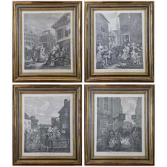
Four Framed Hogarth Engravings "Four Times of the Day"

Four Framed Hogarth Engravings "Four Times of the Day"

By William Hogarth

Located in Alamo, CA

The four plates in this "Four Times of the Day" set were created utilizing both engraving and etching techniques by William Hogarth in 1738. Hogarth's original copper plates were refurbished where needed by James Heath and these engravings were republished in London in 1822 by Braddock, Cradock & Joy. This was the last time Hogarth's original copper plates were used for printing. Most were melted down during World War I for the construction of bombs. Printed upon early nineteenth century wove paper and with large, full margins as published by William Heath in 1822. The inscription below each print reads "Invented Painted & Engraved by Wm. Hogarth & Publish'd March 25. 1738 according to Act of Parliament". These large folio sized "Four Times of the Day" engravings/etchings are presented in complex gold-colored wood frames with black bands and scalloped gold inner trim. A majority of each thick impressive frame is covered with glass applied near the outer edge. Each frame measures 25.75" high, 22.25" wide and 1.88" deep. There are a few small dents in the edge of these frames, which are otherwise in very good condition. "Morning" has two focal areas of discoloration in the upper margin and some discoloration in the right margin, a short tear in the left margin and a short tear or crease in the right margin. "Noon" has a spot in the upper margin that extends into the upper image, but it is otherwise in very good condition. "Evening" has a faint spot in the upper margin, but it is otherwise in very good condition. "Night" is in excellent condition. The "Four Times of the Day" series is in the collection of many major museums, including: The British Museum, The Metropolitan Museum of Art, The Tate Museum, The Chicago Art Institute and The Victoria and Albert Museum. Through this series Hogarth is portraying early 18th century London street life at "Four Times of the Day". His characters are exhibiting their personalities, quircks, strange activities, but he also wants to draw attention the disparities between the wealthy aristocracy and the common working class. Plate 1, "Morning" depicts morning in Covent Garden in the winter in front of Tom King...

Category

Mid-18th Century Old Masters Landscape Prints

Materials

Engraving, Etching

Vaso Anzio di Marmo press S.E. il Sig. Schowvaloff-Etching by G.B. Piranesi-1778

Vaso Anzio di Marmo press S.E. il Sig. Schowvaloff-Etching by G.B. Piranesi-1778

By Giovanni Battista Piranesi

Located in Roma, IT

Artist proof, printed on contemporary filigree paper, large margins, representing an antique marble vase , whose details are described in the ending note . The piece is dedicated to ...

Category

1770s Old Masters Landscape Prints

Materials

Etching

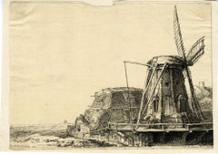
The Windmill by François Vivares, after Rembrandt

The Windmill by François Vivares, after Rembrandt

By Rembrandt van Rijn

Located in Middletown, NY

Engraving on cream laid paper, 8 x 5 7/8 inches (202 x 149 mm), trimmed at the platemark. Adhered at each corner to a small sheet of archival laid paper. Horizontal edge loss at the ...

Category

Mid-18th Century Old Masters Landscape Prints

Materials

Handmade Paper, Laid Paper, Etching

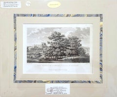
The Bishop of Durham's Palace at Auckland /// Francis Grose English Landscape

The Bishop of Durham's Palace at Auckland /// Francis Grose English Landscape

By Francis Grose

Located in Saint Augustine, FL

Artist: Francis Grose (English, 1731-1791) Title: "The Bishop of Durham's Palace at Auckland" (Vol. IV, Plate 12) Portfolio: The Antiquarian Repertory: A Miscellaneous Assemblage of ...

Category

1770s Old Masters Landscape Prints

Materials

Engraving, Etching, Intaglio

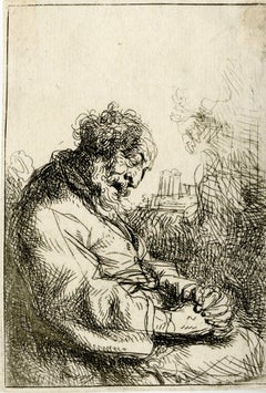
Sleeping Man
Sleeping Man

Sleeping Man

Located in Middletown, NY

A superb impression from an important mid-19th century collection. Etching on white laid paper with a partial crown and shield watermark, 4 x 2 7/8 inches (102 mm x 73 mm), margins....

Category

17th Century Old Masters Landscape Prints

Materials

Laid Paper, Etching

Ancient Roman Architecture: Original Framed 18th C. Etching by G. Piranesi

Ancient Roman Architecture: Original Framed 18th C. Etching by G. Piranesi

By Giovanni Battista Piranesi

Located in Alamo, CA

"Veduta del Sepolcro della Famiglia Plauzia per la Strada Che Conduce da Roma a Tivoli vicino a Ponte Lugano" from "Le Antichità Romane" (Roman Antiquities), one of the most famous works by Piranesi. "Antichita" illustrates the tombs along the Appian Way...

Category

Early 18th Century Old Masters Landscape Prints

Materials

Etching, Engraving, Drypoint

The Anglers
The Anglers

The Anglers

By Herman van Swanevelt

Located in Middletown, NY

Etching with engraving on cream laid paper with a large unidentified alphabetic watermark, 6 1/2 x 9 7/8 inches (165 x 251 mm), the full sheet. In good condition with handling wear a...

Category

Early 17th Century Old Masters Landscape Prints

Materials

Laid Paper, Engraving, Etching

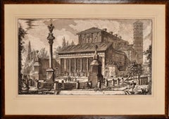
Basilica of San Lorenzo in Rome: A Framed 18th Century Etching by Piranesi

Basilica of San Lorenzo in Rome: A Framed 18th Century Etching by Piranesi

By Giovanni Battista Piranesi

Located in Alamo, CA

This large framed 18th century etching by Giovanni Battista Piranesi entitled "Veduta della Basilica di S. Lorenzo fuor della mura" (Basilica of San Lorenzo Outside the Walls), published in Rome in 1750 in Piranesi's Vedute di Roma (Views of Rome), This etching depicts the Basilica of San Lorenzo Outside the Walls, which is a Roman Catholic papal basilica and parish church, located in Rome, Italy. The Basilica is one of the Seven Pilgrim Churches of Rome and one of the five "papal basilicas". It was built as a shrine to the martyred Roman deacon St. Lawrence. This Piranesi etching is held by many museums and institutions, including: The Metropolitan Museum, The British Museum, The National Gallery of Art, The Yale University Art Gallery, and The Harvard Museum of Art. This magnificent etching is presented in a brown-colored wood frame and a tan French...

Category

1750s Old Masters Landscape Prints

Materials

Etching

PERU
PERU

PERU

By Johannes Jansson

Located in Santa Monica, CA

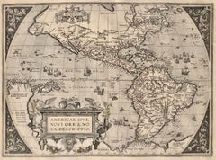
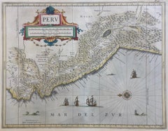
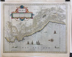
JOHANNES JANSSON (1588 - 1664) PERU, engraving with early coloring. Platemark 15 1/8 x 19 3/8 inches, sheet 17 x 20 1/2 A nice example of one of the earliest maps of Peru. From the ...

Category

1630s Old Masters Landscape Prints

Materials

Engraving

Very Large Marine Shipping Scene Impressive Statement Piece

Very Large Marine Shipping Scene Impressive Statement Piece

Located in Cirencester, Gloucestershire

Large Marine Scene Dutch or Flemish, 20th century color print on canvas, framed framed: 27 x 34 inches canvas: 20 x 27.5 inches provenance: private collection, UK condition: very goo...

Category

20th Century Old Masters Landscape Prints

Materials

Color

Piranesi 18th C. Etching "Reliquiae Theartri Pompejani" an Ancient Roman Theater

Piranesi 18th C. Etching "Reliquiae Theartri Pompejani" an Ancient Roman Theater

By Giovanni Battista Piranesi

Located in Alamo, CA

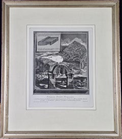
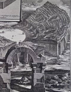
This a framed Giovanni Battista Piranesi (1720-1778) etching entitled "Reliquiae Theartri Pompejani" (Remains of the Theatre of Pompey) from "Il Campo Marzio dell'Antica Roma" (The Campus Martius of Ancient Rome), published in Rome in 1762. It depicts the remains of an ancient theater in Rome with exposed seating and an arch still standing in the foreground. An inset shows an architectural side view of a portion of the structure. The etching is presented in an antiqued silver-colored wood frame with a cream-colored French mat. The frame measures 24" x 20.75" x 1.25". The print is in excellent condition. The Theatre of Pompey (Latin: Theatrum Pompeii, Italian: Teatro di Pompeo) was a structure in Ancient Rome built during the latter part of the Roman Republican era by Pompey the Great...

Category

Mid-18th Century Old Masters Landscape Prints

Materials

Etching

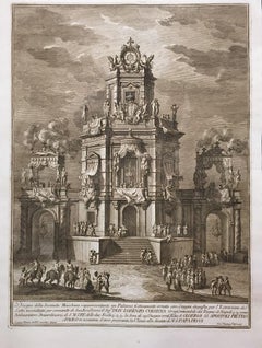
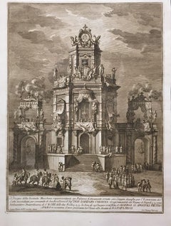
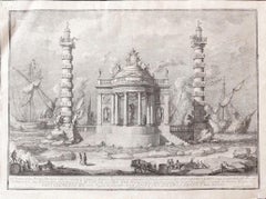
Il tempio di Nettuno - Etching by Giuseppe Vasi - 1760

Il tempio di Nettuno - Etching by Giuseppe Vasi - 1760

By Giuseppe Vasi

Located in Roma, IT

English Title: "The Temple of Neptune” Image dimensions: 38.3x53.2 cm. Very Fine Proof, showing an architectural apparatus for firework built by Paolo Posi in occasion of the Chinea Feast in 1760. Signed on plate lower-right margin. Original Title with a detailed capture under the picture. In Good condition, with a light abrasion higher-left corner and some little foxing in margins. Ref: G. Sassoli, Apparati architettonici per fuochi d'artificio, 1994, p. 137, n. 69 Master of Giovan Battista Piranesi...

Category

1760s Old Masters Landscape Prints

Materials

Etching

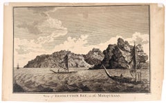
View of Resolution Bay, in the Marquesas

View of Resolution Bay, in the Marquesas

By William Hodges

Located in Middletown, NY

An image after the draftsman who accompanied Captain James Cook, R. N. on his second voyage of exploration to the South Pacific aboard the Resolution (1772–75). London: Hogg, Alexan...

Category

Mid-18th Century Old Masters Landscape Prints

Materials

Laid Paper, Engraving
Veduta del Tempio della Fortuna Virile, from Raccolta delle più belle Vedute ...

Veduta del Tempio della Fortuna Virile, from Raccolta delle più belle Vedute ...

By Giuseppe Vasi

Located in Middletown, NY

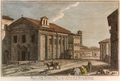
By Giuseppe Vasi after Giovanni Piranesi: Etching and engraving with hand coloring in watercolor on laid paper with an E and R watermark, full margins. Minor...

Category

Late 18th Century Old Masters Landscape Prints

Materials

Watercolor, Laid Paper, Engraving, Etching

The Basilica of St. Paul in Rome, Early 19th Century Etching by Luigi Rossini

The Basilica of St. Paul in Rome, Early 19th Century Etching by Luigi Rossini

By Luigi Rossini

Located in Alamo, CA

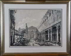
"Rovina della gran Basilica di S. Paolo fueri le mura accaduta" (View of the Ruins of the Great Triumphal Arch of S. Paolo Fuori le Mura) from "Le Antichita Romane" (Ancient Rome), published in Rome in 1823. It depicts the destruction of the Basilica of St. Paul after the fire of 1823. People stand in the road and on the right observing the damage amid debris, which includes many fragments of columns. The etching is presented in a silver-color wood frame with an off-white double mat with a black inner mat. There are a few small spots, but it is otherwise in very good condition. See item # LU117324669722 for another Rossini etching...

Category

1820s Old Masters Landscape Prints

Materials

Etching

Venus Lamenting over the Death of Adonis

Venus Lamenting over the Death of Adonis

By Herman van Swanevelt

Located in Middletown, NY

c. 1654. Etching with engraving on thin laid paper with an early and large unidentified watermark with a sundial and a many-pointed star, and an unidentified collector's stamp in the...

Category

Mid-17th Century Old Masters Landscape Prints

Materials

Handmade Paper, Engraving, Etching

Piranesi Etching of Hadrian's Ancient Roman Aqueduct and Baths, "Aquae Virginis"

Piranesi Etching of Hadrian's Ancient Roman Aqueduct and Baths, "Aquae Virginis"

By Giovanni Battista Piranesi

Located in Alamo, CA

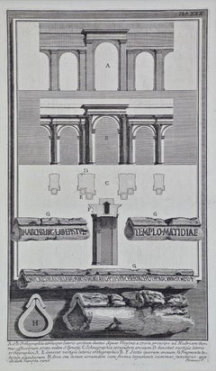
This is a framed Giovanni Battista Piranesi (1720-1778) etching entitled "Orthographia utriusque lateris arcuum ductus Aquae Virginis a specu principe ad Hadriani thermas, effossorum...

Category

Mid-18th Century Old Masters Landscape Prints

Materials

Etching

Campidoglio Festivamente Ornato - Etching by Giuseppe Vasi - 1775

Campidoglio Festivamente Ornato - Etching by Giuseppe Vasi - 1775

By Giuseppe Vasi

Located in Roma, IT

English Title: "Capitol Festively Decorated" Beautiful Proof, showing the apparatus for firework built by the “Cav. e Arch.” Paolo Posi, drown by “Giuse. Palazzi”, engraved by “Cava. Giusep. Vasi”. This wonderful Etching represents the Capitol festively decorated in occasion of the Feast of S. Peter and Paolo (29th June 1775). Signed on plate lower margin. Original Title with a detailed capture under the picture. In Very Good condition. Ref: G. Sassoli, Apparati architettonici per fuochi d'artificio, 1994, p.155, n. 97. Master of Giovan Battista Piranesi...

Category

1770s Old Masters Landscape Prints

Materials

Etching

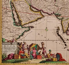
Asia Declineatio: A 17th Century Hand-colored Map of Asia by Justus Danckerts

Asia Declineatio: A 17th Century Hand-colored Map of Asia by Justus Danckerts

Located in Alamo, CA

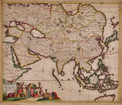
This is a scarce 17th century beautifully hand-colored copperplate engraved map of Asia entitled “Exactissima Asiae Delineatio in Praecipuas Regiones Caerterasque Partes divisa et de...

Category

Late 17th Century Old Masters Landscape Prints

Materials

Engraving
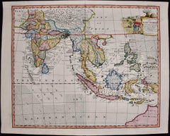
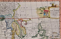
Map of the East Indies: An Original 18th Century Hand-colored Map by E. Bowen

Map of the East Indies: An Original 18th Century Hand-colored Map by E. Bowen

By Emanuel Bowen 1

Located in Alamo, CA

This is an original 18th century hand-colored map entitled "An Accurate Map of the East Indies Exhibiting the Course of the European Trade both on the Continent and Islands" by Emanu...

Category

Mid-18th Century Old Masters Landscape Prints

Materials

Engraving
Canterbury: An Original 16th C. Framed Hand-colored Map by Braun & Hogenberg

Canterbury: An Original 16th C. Framed Hand-colored Map by Braun & Hogenberg

By Franz Hogenberg

Located in Alamo, CA

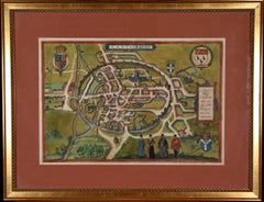
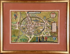
This is a framed 16th century map and city view of Canterbury, England entitled "Cantuarbury" by Braun & Hogenburg, from their famous landmark atlas of city views 'Civitates Orbis Terrarum' (Atlas of the Cities of the World), which was first published in Cologne, Germany in 1572. The map of Canterbury was first published in 1588. It depicts a detailed birdseye view of the completely walled and fortified city of Canterbury, with its cathedral the most prominent feature. The coat of arms of England, Canterbury, and the Archbishop of Canterbury are included. This beautifully hand-colored map is presented in a gold-colored wood frame with a beaded inner trim and a paprika-colored mat that highlights details in the map. The frame measures 18.75" high by 22.25" wide by 0.875" deep. There is a central vertical fold, as issued. The map is in excellent condition. Braun and Hogenberg's 'The Civitates Orbis Terrarum' was the second atlas of maps ever published and the first atlas of cities and towns of the world. It is one of the most important books published in the 16th century. Most of the maps in the atlas were engraved by Franz Hogenberg and the text, with its descriptions of the history and additional factual information of the cities, was written by a team of writers and edited by Georg Braun. The work contained 546 bird-eye views and map views of cities and towns from all over the world. It gave graphic representation of the main features of the illustrated cities and towns, including the buildings and streets. Although the ordinary buildings are stylized, the principal buildings are reproduced from actual drawings created on location. The principal landmarks and streets can still be recognized today. In addition, the maps often include the heraldic arms of the city, the nature of the surrounding countryside, the important rivers, streams and harbors, even depicting stone bridges, wooden pontoons, flat-bottomed ferries, ships and working boats, wharves and jetties, as well as land-based activities, including horsemen, pedestrians, wagons, coaches, and palanquins. Small vignettes are often included which illustrate the trade, occupations and habits of the local inhabitants, such as agriculture, paper-making and textiles, as well as local forms of punishment, such as gibbets, wheels, floggings etc. Large figures dressed in their local costume are often presented out of proportion in the foreground. The aim of the authors was to give as much information as possible in a pleasing visual form. They succeeded in creating maps that were both informative and decorative works of art. The atlas is a wonderful glimpse of life in medieval Europe. Georg Braun (1541-1622) was German Catholic...

Category

16th Century Old Masters Landscape Prints

Materials

Engraving
View of Meissen, Germany: A 16th Century Hand-colored Map by Braun & Hogenberg

View of Meissen, Germany: A 16th Century Hand-colored Map by Braun & Hogenberg

By Franz Hogenberg

Located in Alamo, CA

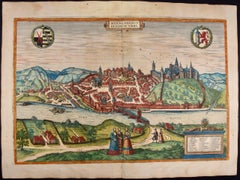
This is a 16th century original hand-colored copperplate engraved map of View of View of Meissen, Germany entitled "Misena Hermun Duvorum Urbs" by Georg Braun & Franz Hogenberg, from their famous city atlas "Civitates Orbis Terrarum", published in Cologne, Germany in 1575. The map depicts a side view and bird's-eye view, looking across the Elbe River (labelled Albis Fluvius on the map; White River in Latin) from the northeast. In the foreground are three women in conversation on a hill above the city, along with a man and a woman in conversation by a road, all dressed in contemporary costumes of the upper class. A coat-of-arms is present in each upper corner. A great castle sits atop a hill in the background on the left. Meissen grew up around Albrechtsburg castle, built by Emperor Henry I around AD 929, and was granted a municipal charter at the end of the 12th century. From 1471 onwards, the castle complex was reconstructed as the residence of the Saxon electors on the northeast corner of the Domberg (Cathedral Hill). Meissen cathedral is a Gothic hall church begun c. 1270; in 1413 a bolt of lightning destroyed its west towers, which were replaced only in the 20th century. Meissen lies to the northwest of Dresden, Germany in Saxony. Meissen is famous for its Meissen porcelain and the Albrechtsburg castle The following is an English translation of an excerpt from Braun's description of the city:  "This city is surrounded by very many rivers, to the east flows the Elbe, to the south the Triebisch, to the west are the mountains, to the north the Meisse, after which the city is said to be named. The city is well-situated in its surroundings, the navigable rivers, the mountains and the healthy air. Around the city there is a good land to grow grain, fertile vineyards on the hillsides and without doubt the mountains are not without ore, for one mile away, up the Elbe, is Scharfenberg, where silver and lead ore are mined.." 
  References: Van der Krogt 4, 2684; Taschen, Braun and Hogenberg...

Category

16th Century Old Masters Landscape Prints

Materials

Engraving
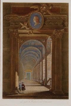
Vatican Hallway designed by Raphael: 18th C. Hand-colored Engraving by Volpato
Vatican Hallway designed by Raphael: 18th C. Hand-colored Engraving by Volpato
By Giovanni Volpato

Located in Alamo, CA

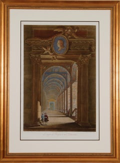
This is an original 18th century hand-colored framed copper-plate engraving by Giovanni Volpato after a drawing by Camporesi. It was the frontispiece for volume one of the rare and v...
Category

Late 18th Century Old Masters Landscape Prints

Materials

Engraving
Classic Bird Color Prints x 3 - Beautiful Set of 3 Classical Birds

Classic Bird Color Prints x 3 - Beautiful Set of 3 Classical Birds

Located in Cirencester, Gloucestershire

Set of 3 Colored Bird Prints each unframed, 10.5 x 14.5 inches condition: very good A beautiful set of 3 colored prints of classical birds in landscape settings. As a set, they make wonderful interior design either presented on their own or as a gallery wall grouping.

Category

20th Century Old Masters Landscape Prints

Materials

Color

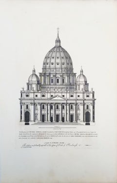
St Peters Church at Rome /// "Vitruvius Britannicus" Architecture Engraving Art
St Peters Church at Rome /// "Vitruvius Britannicus" Architecture Engraving Art
By Colen Campbell

Located in Saint Augustine, FL

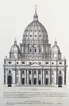
Artist: Colen Campbell (Scottish, 1676-1729) Title: "St Peters Church at Rome" (Vol. 1, Plate 6) Portfolio: Vitruvius Britannicus; or The British Architect, Containing the Plans, Ele...

Category

1710s Old Masters Landscape Prints

Materials

Laid Paper, Engraving, Etching, Intaglio

Tournai (Tournay), Belgium: A 16th Century Hand-colored Map by Braun & Hogenberg

Tournai (Tournay), Belgium: A 16th Century Hand-colored Map by Braun & Hogenberg

By Franz Hogenberg

Located in Alamo, CA

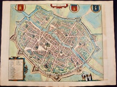
This is a 16th century original hand-colored copperplate engraved map of Tournai, Belgium, entitled "Tornacum" by Georg Braun & Franz Hogenberg, in volume IV of their famous city atlas "Civitates Orbis Terrarum", published in Cologne or Augsberg, Germany in 1575. The map provides a bird's-eye view of the walled city of Tournai, the second oldest city in Belgium. It lies approximately one hour by car southwest of Brussels or from Ghent. The names of thirty of its streets, prominent buildings, churches and squares are listed in a key within a strap-work cartouche in the lower left. These locations are numbered in the key corresponding to their locations on the map. This colorful map of Tournai (Tornacum or Tournay as it was called in the 16th century) includes the title in Latin in a cartouche in the upper center. Three crests are present across the upper map. A man and two woman are standing on a hill in the foreground in the lower right dressed in the style of 16th century upper class residents of the town. This is an English translation of an excerpt of Braun's description of Tornai: “Tornacum or Turnacum is a city in Gallia Belgica, situated on the Schelde in the territory of the Nervii, called Tournai by its French inhabitants, but Dorneck by the Germans. Tournai has always been a large and powerful city, with an abundance of goods and commercial activities and wonderfully resourceful craftsmen, who invent new articles every day, and although some of these go out of use they constantly conceive of other new things, both useful and delightful, so that they have at all times something that provides work and a means of livelihood for the poor." ReferencesVan der Krogt 4, 4435, State 1; Taschen, Braun and Hogenberg...

Category

16th Century Old Masters Landscape Prints

Materials

Engraving
Old Masters landscape prints for sale on 1stDibs.

Find a wide variety of authentic Old Masters landscape prints available for sale on 1stDibs. Works in this style were very popular during the 20th Century, but contemporary artists have continued to produce works inspired by this movement. Many Pop art paintings were created by popular artists on 1stDibs, including Giuseppe Vasi, Giovanni Battista Piranesi, Ludovico Caracciolo, and Frans Hogenberg. Frequently made by artists working with Etching, and Engraving and other materials, all of these pieces for sale are unique and have attracted attention over the years. Not every interior allows for large Old Masters landscape prints, so small editions measuring 2.37 inches across are also available. Prices for landscape prints made by famous or emerging artists can differ depending on medium, time period and other attributes. On 1stDibs, the price for these items starts at $66 and tops out at $45,000, while the average work sells for $655.