Want more images or videos?
Request additional images or videos from the seller.

Antonio Zatta 1
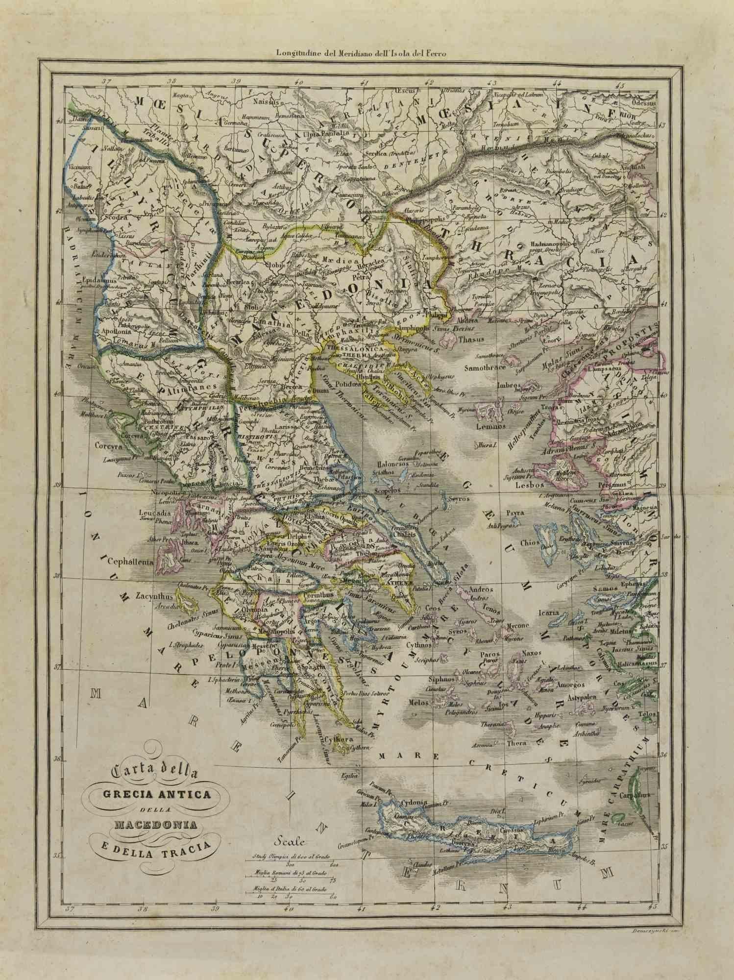
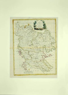
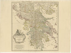
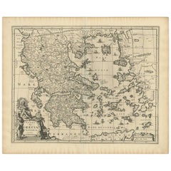
Map of Ancient Greece - Original Etching by Antonio Zatta - 1785

1785

$742.50
£552.75
€650VAT Included
CA$1,042.54
A$1,076.14
CHF 606.57
MX$13,922.78
NOK 6,920.27
SEK 7,300.58
DKK 4,955.50

About the Item

This Map of ancient Greek is an etching realized by Antonio Zatta in Venice in 1785. The state of preservation of the artwork is good expect for the worn paper. Mounted on a cardboard passpartout 70x50 cm. On the lower left margin of the map the title "Grecia Antiqua" followed by Antonio Zatta, Venezia 1785.
  • Creator:
    Antonio Zatta 1 (1757 - 1797)
  • Creation Year:
    1785
  • Dimensions:
    Height: 16.54 in (42 cm)Width: 12.8 in (32.5 cm)Depth: 0.04 in (1 mm)
  • Medium:
  • Period:
    1770-1779
  • Framing:
    Framing Options Available
  • Condition:
    Insurance may be requested by customers as additional service, contact us for more information.
  • Gallery Location:
    Roma, IT
  • Reference Number:
    Seller: M-1139561stDibs: LU65037437342

More From This Seller

View All
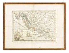
Map of Greece - Etching by Antonio Zatta - 18th Century

Map of Greece - Etching by Antonio Zatta - 18th Century

By Antonio Zatta 1

Located in Roma, IT

This Map of Greece is an etching realized by Antonio Zatta, Cartographer, publisher and typographer. The state of preservation of the artwork is good except for the worn paper and t...

Category

1780s Figurative Prints

Materials

Etching

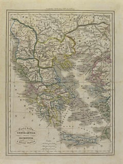
Map of Greece - Etching on Paper 19th Century

Map of Greece - Etching on Paper 19th Century

Located in Roma, IT

Image dimensions: 22.2 x 27.8 cm. Grecia is an interesting hand-colored etching on paper, realized by an anonymous artist in the first half of the XIX century. With the inscriptions in Italian, this original print describes the geography of Greece with the great charisma of the antique maps. In very good conditions, except for a usual yellowing of the paper at the edges and minor defects and signs of the time, and some light yellow strips...

Category

19th Century Modern Figurative Prints

Materials

Etching

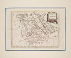
Map of Nubia and Abissinia - Etching by Antonio Zatta - 1784

Map of Nubia and Abissinia - Etching by Antonio Zatta - 1784

By Antonio Zatta 1

Located in Roma, IT

This Map of Nubia and Abissinia is an etching realized by Antonio Zatta in Venice in 1784. The state of preservation of the artwork is good expect for the worn paper with some littl...

Category

1770s Landscape Prints

Materials

Etching

You May Also Like

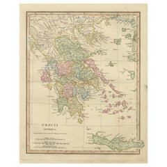
Antique Map of Ancient Greece – Classical Balkans & Aegean, Engraving c.1818

Antique Map of Ancient Greece – Classical Balkans & Aegean, Engraving c.1818

Located in Langweer, NL

Antique Map of Ancient Greece – Classical Balkans & Aegean, Engraving c.1818 Elegant antique map depicting ancient Greece and the classical Balkans, extending from Epirus and Macedo...

Category

Antique Early 19th Century British Maps

Materials

Paper

Antique Map of Greece by Keizer & de Lat, 1788

Antique Map of Greece by Keizer & de Lat, 1788

Located in Langweer, NL

Antique map titled 't Zuider Deel van Turks Europe genaamt Griekenland (..)'. Uncommon original antique map of Greece. This map originates from 'Nieuwe Natuur- Geschied- en Handelkun...

Category

Antique Late 18th Century Maps

Materials

Paper

Antique 1698 Map of Greece by Carolus Allard, Late 17th Century

Antique 1698 Map of Greece by Carolus Allard, Late 17th Century

Located in Langweer, NL

Antique map titled 'Hellas seu Graecia Universa' Detailed map of Greece, with Crete, the Aegean Islands, and part of Turkey. With two cartouches, compass rose and scale. Carolus Alla...

Category

Antique Late 17th Century Maps

Materials

Paper

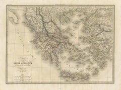
Classical Greece Map — Græcia Antiqua, Ancient Cities & Islands, Wilkinson 1819

Classical Greece Map — Græcia Antiqua, Ancient Cities & Islands, Wilkinson 1819

Located in Langweer, NL

Classical Greece Map — Græcia Antiqua, Ancient Cities & Islands, Wilkinson 1819 A beautifully engraved and hand-colored map titled *Græcia Antiqua*, published in London by Rober...

Category

Antique Early 19th Century British Maps

Materials

Paper

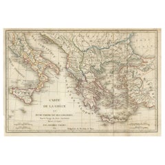
Antique Map of Ancient Greece, Mediterranean Balkans, Lapie Tardieu 1838

Antique Map of Ancient Greece, Mediterranean Balkans, Lapie Tardieu 1838

Located in Langweer, NL

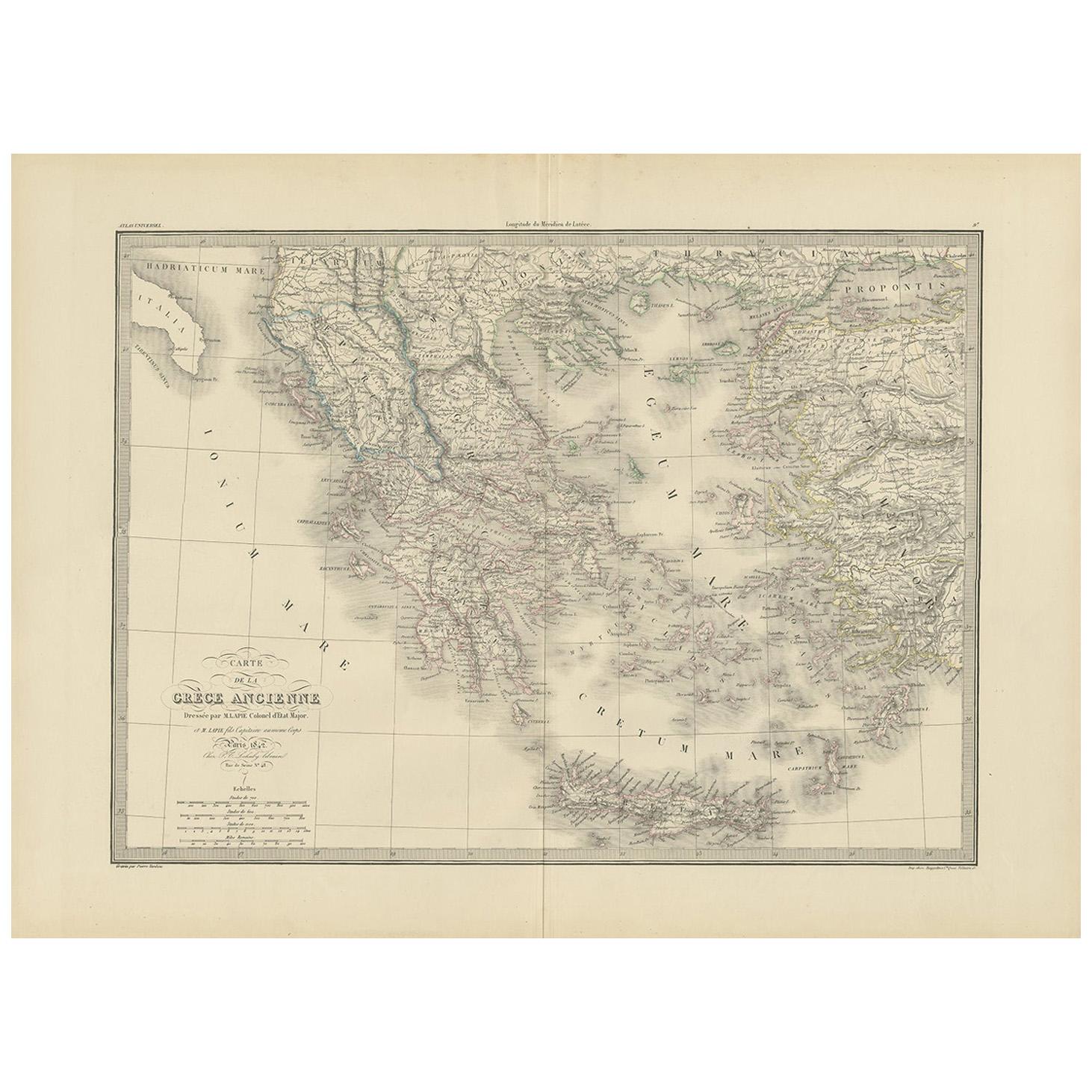
Antique Map of Ancient Greece, Mediterranean Balkans, Lapie Tardieu 1838 Description: This finely engraved map titled Carte de la Grèce Ancienne* was published in Paris in 1838 as part of the renowned *Atlas Universel de Géographie Ancienne et Moderne by the distinguished French cartographer M. Lapie. This important atlas is celebrated for its clarity, precision, and elegant execution, representing the high standard of early 19th-century French cartography. The map presents Ancient Greece in remarkable detail, encompassing the Greek mainland, the Peloponnese, the Aegean islands, and extending into Asia Minor and the surrounding regions of the eastern Mediterranean. The intricate coastline, scattered island groups, and mountainous terrain are rendered with exceptional finesse, creating a visually dynamic and highly decorative composition. Political and regional divisions are delicately outlined in original hand coloring, enhancing both clarity and aesthetic appeal. The engraving was executed by Pierre Antoine Tardieu, a respected member of the renowned Tardieu family of engravers, known for their precision and contribution to scientific and cartographic works. His refined linework is evident throughout the map, giving it both accuracy and a refined visual balance. The composition captures the geographic complexity and cultural richness of the ancient Greek world, a region that has profoundly influenced Western civilization. Its combination of historical significance and decorative beauty makes it particularly appealing to collectors, classicists, and interior designers seeking an elegant and intellectually engaging wall piece. Condition report: Good condition overall. Light age toning and scattered foxing visible, mainly in the margins. Original center fold as issued. Paper remains strong and stable. Plate mark visible. Framing tips: Ideal for a dark walnut or black frame with a generous ivory or cream mat to highlight the fine engraving and subtle original hand coloring. Particularly effective in a study, library, or as part of a curated gallery wall of historical or classical-themed works. Keywords: antique Greece map, Ancient Greece map, Lapie atlas 1838, Tardieu engraving, Mediterranean map antique, Balkans map 19th century, classical antiquity map, Aegean islands map, historical Greece map, French atlas engraving, antique historical map, decorative antique map, 19th century engraving, classical world map, collector map Greece...

Category

Antique Early 19th Century French Maps
Materials

Paper

Original Antique Map of Ancient Greece & Greek Colonies - Tardieu, 1825

Original Antique Map of Ancient Greece & Greek Colonies - Tardieu, 1825

Located in Langweer, NL

Antique Map of Ancient Greece and Its Colonies by Ambroise Tardieu, 1825 Description: Original antique map titled Carte de la Grèce et d'une Partie de ses Colonies, drawn and engra...

Category

Antique 1820s French Maps

Materials

Paper