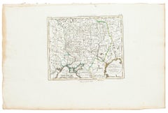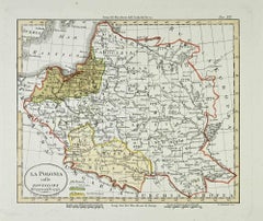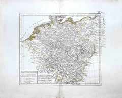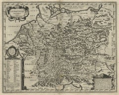
Want more images or videos?
Request additional images or videos from the seller.

Unknown
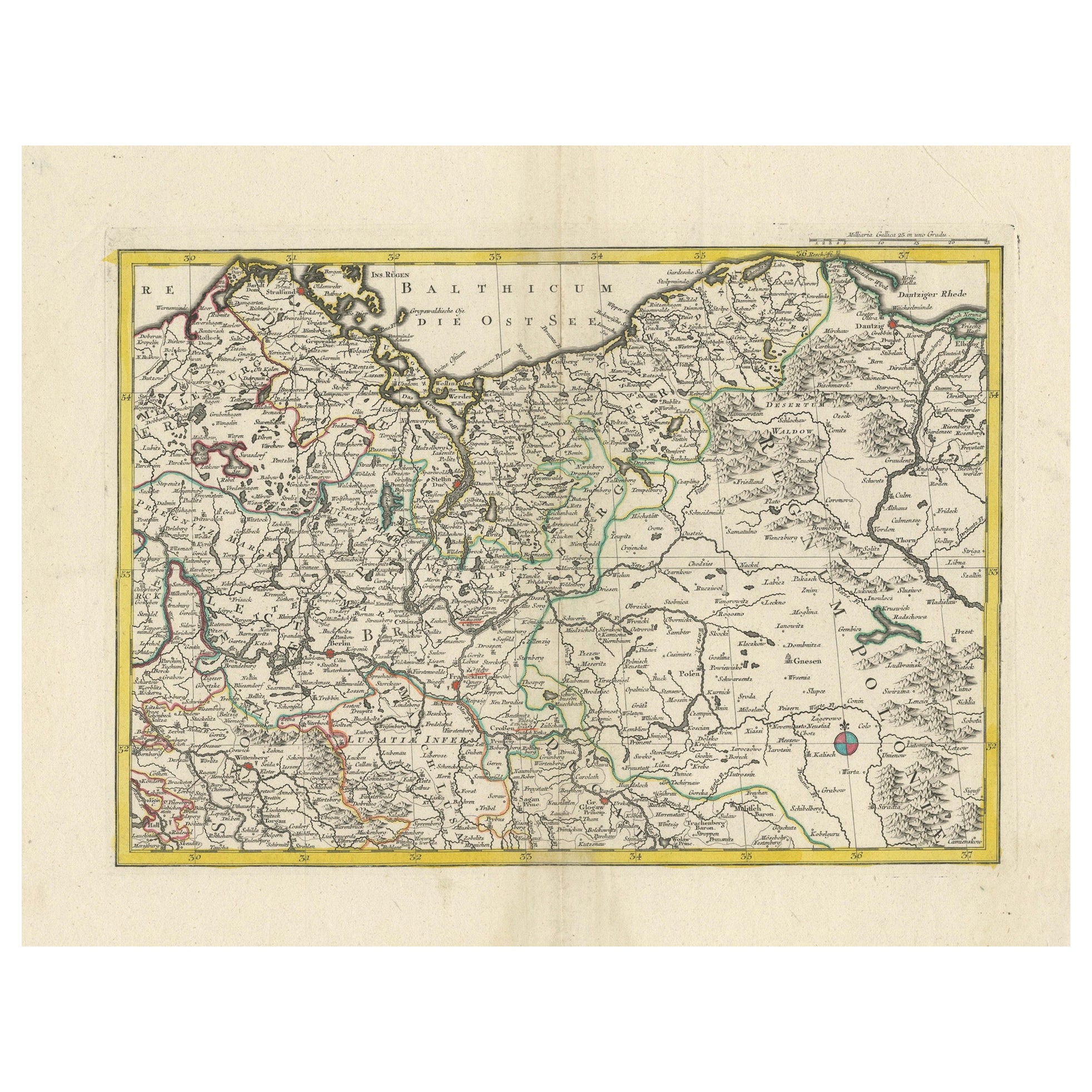
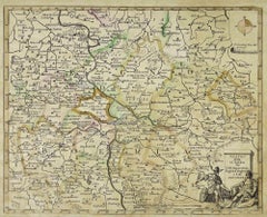
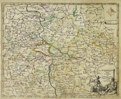
Map of the War -Vesfaglia and Lower Saxony - Etching - 19th Century

19th Century

$428.77
£324.02
€380VAT Included
CA$611.32
A$630.23
CHF 358.09
MX$7,977.55
NOK 4,100.64
SEK 4,295.93
DKK 2,897.54

About the Item

Map of the War -Vestaglia and Lower Saxony is an etching realized during the 19th century. Good condition.
  • Creation Year:
    19th Century
  • Dimensions:
    Height: 11.82 in (30 cm)Width: 17.33 in (44 cm)Depth: 0.04 in (1 mm)
  • Medium:
  • Movement & Style:
  • Period:
  • Framing:
    Framing Options Available
  • Condition:
    Insurance may be requested by customers as additional service, contact us for more information.
  • Gallery Location:
    Roma, IT
  • Reference Number:
    Seller: T-1525181stDibs: LU650315638182

More From This Seller

View All
Map of Moravia - Etching - 19th Century

Map of Moravia - Etching - 19th Century

Located in Roma, IT

The Map of Moravia is an etching map realized in the 19th century. Good conditions.

Category

19th Century Modern Figurative Prints

Materials

Etching
Map of Germany - Original Etching - 1820

Map of Germany - Original Etching - 1820

Located in Roma, IT

Map of Germany is an Original Etching realized by an unknown artist of 19th century in 1820. Very good condition on two sheets of white paper joined at...

Category

1820s Modern Figurative Prints

Materials

Etching
You May Also Like

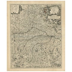
Antique Map of Bavaria with many details, Germany

Antique Map of Bavaria with many details, Germany

Located in Langweer, NL

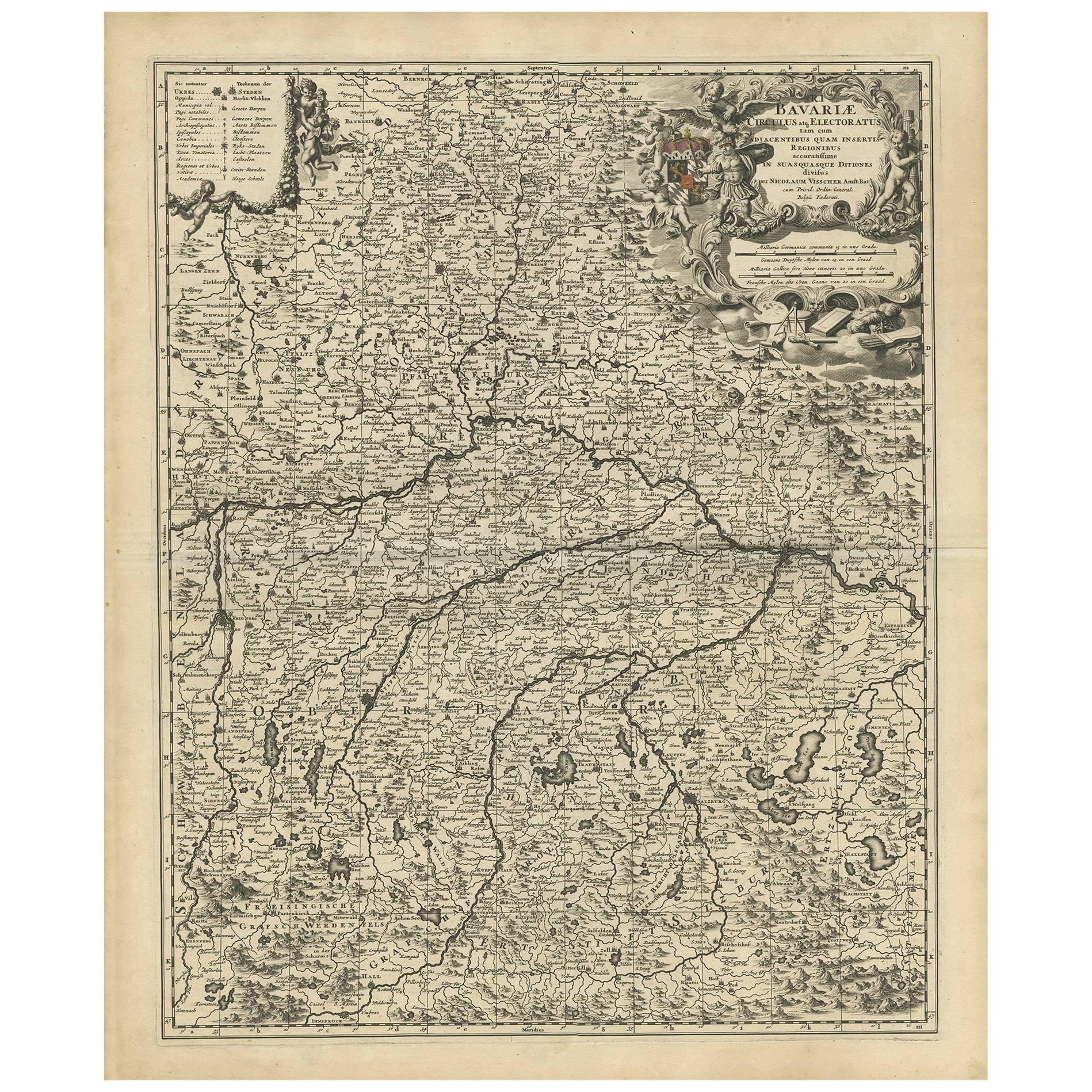
Antique map titled 'Bavariae Circulus atq Electoratus tam cum Adiacentibus quam insertis Regionibus (..)'. Dutch map of Bavaria, showing the many cities, towns, and other features of...

Category

Antique Late 17th Century Maps

Materials

Paper

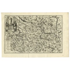
Antique Map of Saxony and Westphalia by Scherer, 1699

Antique Map of Saxony and Westphalia by Scherer, 1699

Located in Langweer, NL

Antique map titled 'Saxonia et Westphalia varijs in locis sacris erga dei matre est officiosa & ipsa vicissim erga utramq. Munifica.' Detailed uncommon map of Saxony and Westphalia i...

Category

Antique 17th Century Maps

Materials

Paper

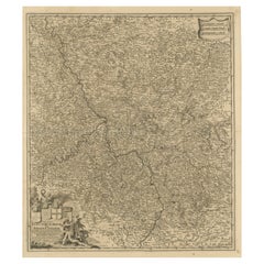
Antique Map of the Niederrhein region, Germany

Antique Map of the Niederrhein region, Germany

Located in Langweer, NL

Antique map titled 'Circulus Electorum Rheni sive Rhenanus Inferior (..)'. Original antique map of the Niederrhein region, Germany. By F. de Wit, circa 1690. Frederick de Wit (1629-...

Category

Antique Late 17th Century Maps

Materials

Paper

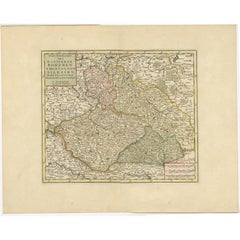
Antique Map of Bohemia in the Present-Day Chech Repubic, 1730

Antique Map of Bohemia in the Present-Day Chech Repubic, 1730

Located in Langweer, NL

Antique map titled 'Nieuwe Kaart van t Koninkryk Bohemen t Hertogdom Silesien markgraafschap Moravien (Moravia) en Lusatien' (Lusatia). Map of Bohemia (Czech Republic) with the surro...

Category

Antique 18th Century Dutch Maps

Materials

Paper