Want more images or videos?
Request additional images or videos from the seller.

Franz Hogenberg
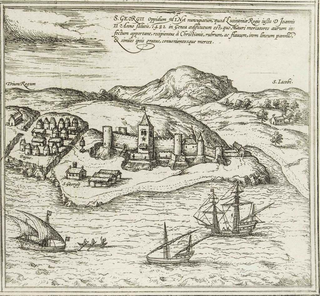
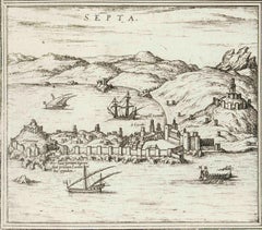
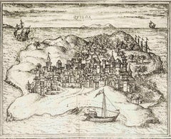
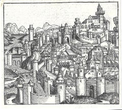
Sala, Map from "Civitates Orbis Terrarum" - by F.Hogenberg - 1575

1575

$571.16
£425.20
€500VAT Included
CA$801.95
A$827.80
CHF 466.59
MX$10,709.83
NOK 5,323.28
SEK 5,615.83
DKK 3,811.93

About the Item

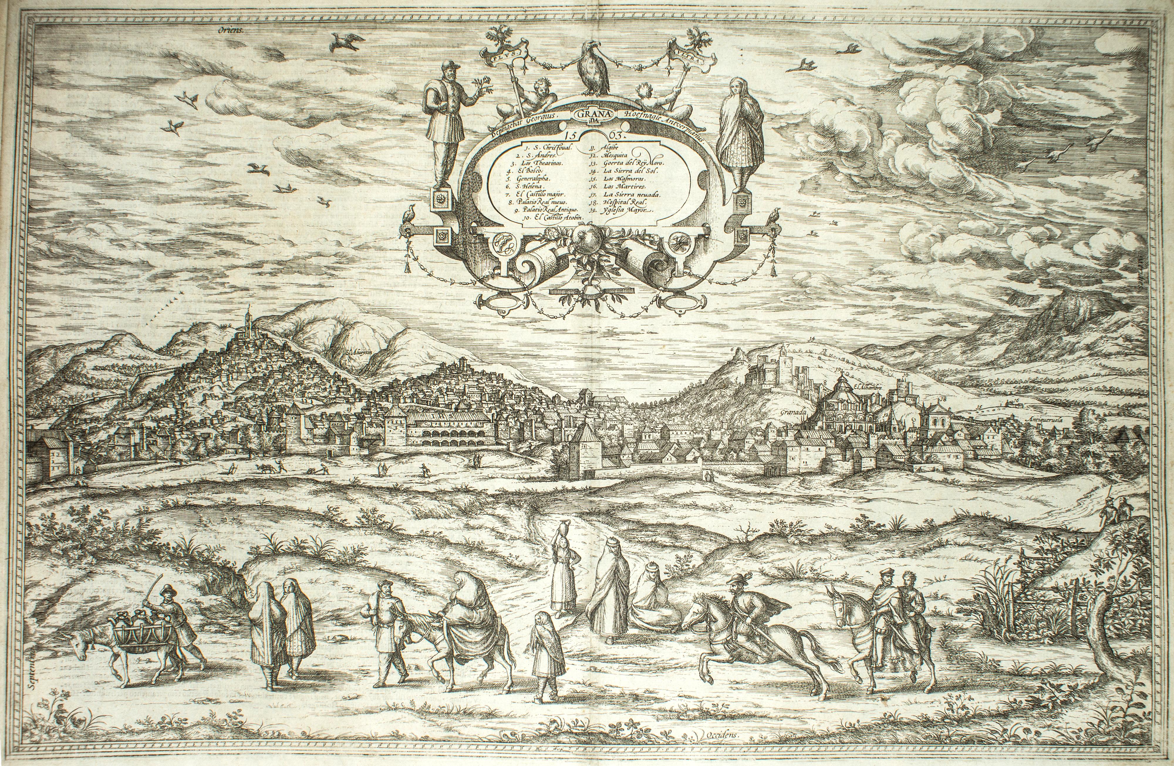
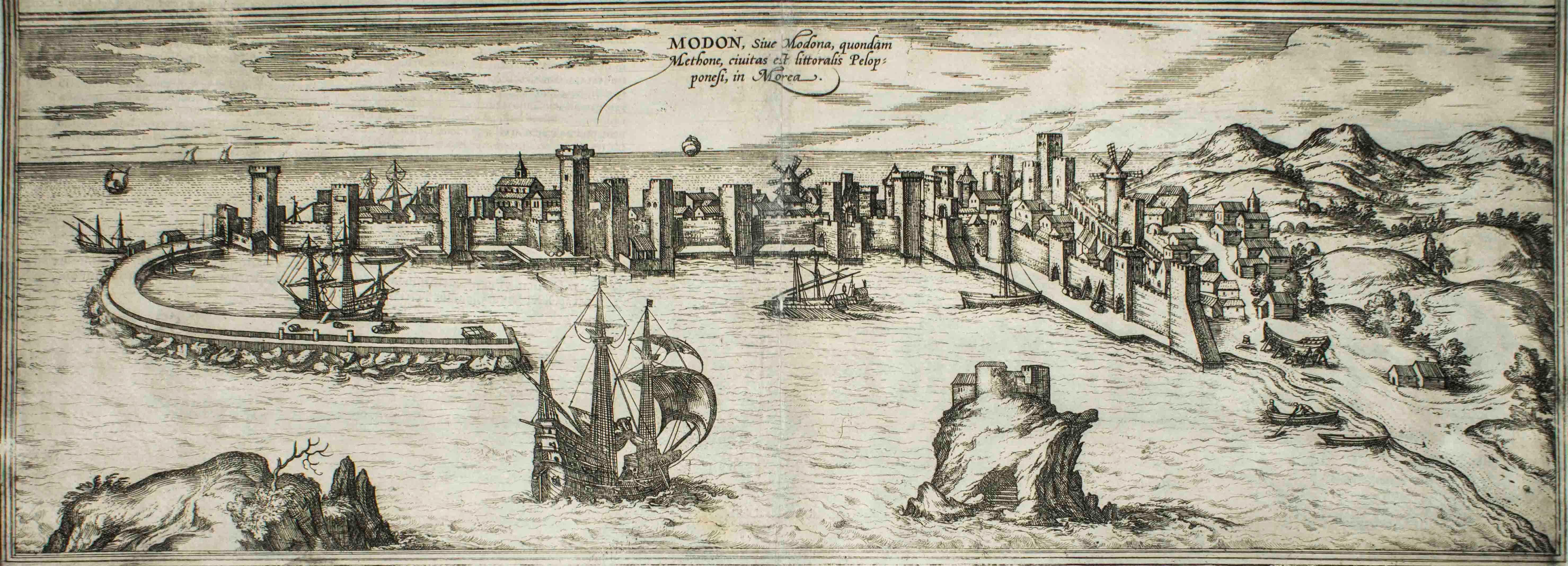
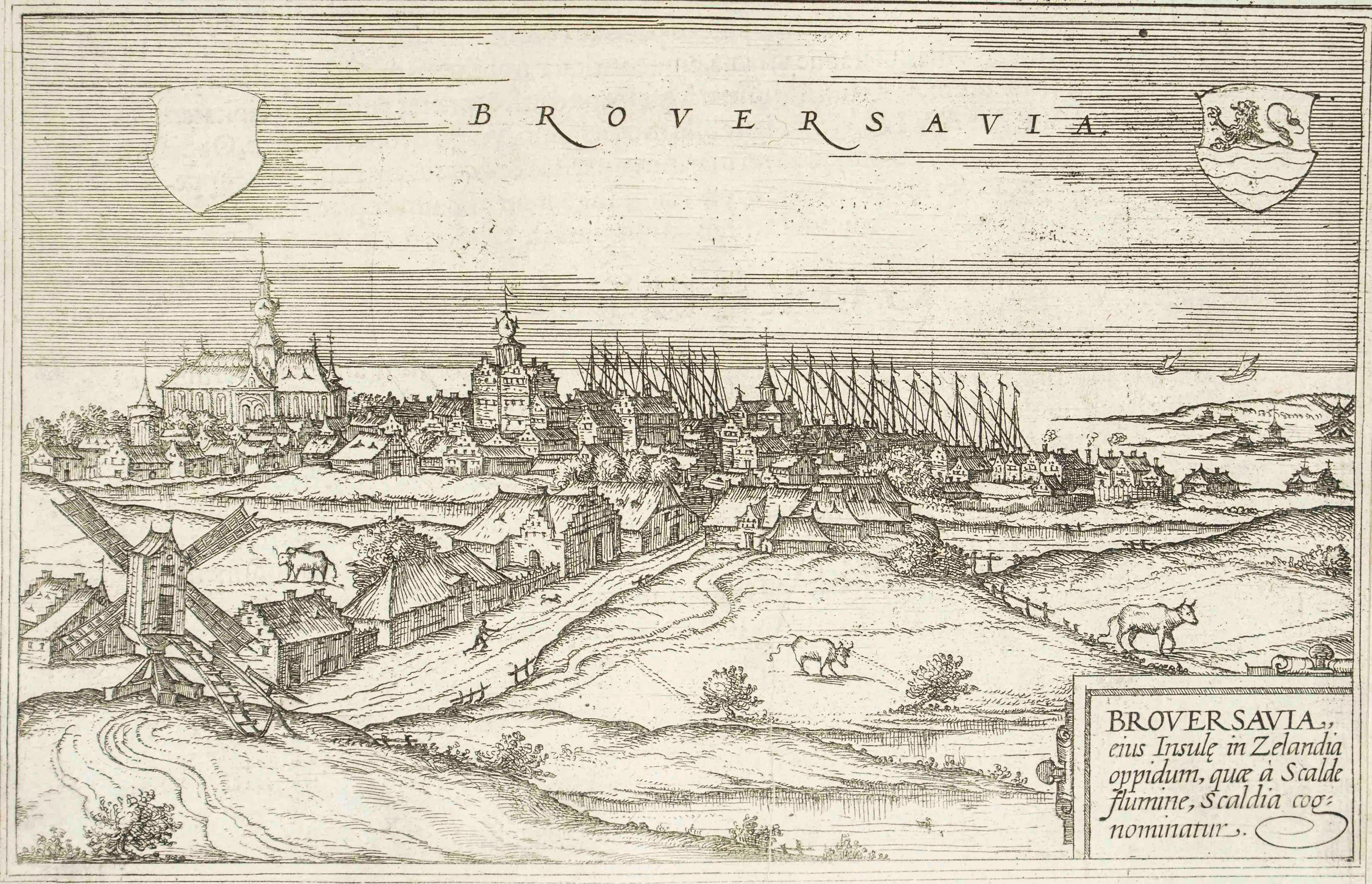
"Sala", from the collection "Civitates Orbis Terrarum", Cologne, T. Graminaeus, 1575. The “Civitates Orbis Terrarum” (Atlas of Cities of the World) was the second oldest printed atlas in the history of world cartography and the first atlas totally dedicated to topographical views. The first volume of this collection was published at Cologne in 1572; the others following in 1575, 1581, 1588 and 1598. The sixth and final volume appeared in 1617, just before the extensive devastation wreaked by the Thirty Years’War. “The most original and magnificent of all city-atlases, which drew on the work of accomplished topographical artists; and…reproduced it in pictorial compositions of great charm and individuality”. R.A.Skelton This artwork is shipped from Italy. Under existing legislation, any artwork in Italy created over 70 years ago by an artist who has died requires a licence for export regardless of the work’s market price. The shipping may require additional handling days to require the licence according to the final destination of the artwork.
  • Creator:
    Franz Hogenberg (1540 - 1590, Flemish)
  • Creation Year:
    1575
  • Dimensions:
    Height: 5.52 in (14 cm)Width: 6.3 in (16 cm)Depth: 0.04 in (1 mm)
  • Medium:
  • Period:
  • Condition:
    Insurance may be requested by customers as additional service, contact us for more information.
  • Gallery Location:
    Roma, IT
  • Reference Number:
    Seller: J-719521stDibs: LU65036159592

More From This Seller

View All
Septa, Map from "Civitates Orbis Terrarum" - by F.Hogenberg - 1575

Septa, Map from "Civitates Orbis Terrarum" - by F.Hogenberg - 1575

By Franz Hogenberg

Located in Roma, IT

"Septa", from the collection "Civitates Orbis Terrarum", Cologne, T. Graminaeus, 1575. The “Civitates Orbis Terrarum” (Atlas of Cities of the World) was the second oldest printed ...

Category

16th Century Figurative Prints

Materials

Etching, Aquatint

Cascale, Map from "Civitates Orbis Terrarum" - by F. Hogenberg - 1575

Cascale, Map from "Civitates Orbis Terrarum" - by F. Hogenberg - 1575

By Franz Hogenberg

Located in Roma, IT

Braun G., Hogenberg F., Cascale, from the collection Civitates Orbis Terrarum, Cologne, T. Graminaeus, 1572-1617. Good conditions expect tue usual central fold. The “Civitates Orbis...

Category

16th Century Figurative Prints

Materials

Etching, Aquatint

Quiloa, Map from "Civitates Orbis Terrarum" - by F.Hogenberg - 1575

Quiloa, Map from "Civitates Orbis Terrarum" - by F.Hogenberg - 1575

By Franz Hogenberg

Located in Roma, IT

"Quiloa", from the collection "Civitates Orbis Terrarum", Cologne, T. Graminaeus, 1575. The “Civitates Orbis Terrarum” (Atlas of Cities of the World) was the second oldest printed...

Category

16th Century Modern Figurative Prints

Materials

Etching, Aquatint

Aden, Map from "Civitates Orbis Terrarum" - by F. Hogenberg - 1575

Aden, Map from "Civitates Orbis Terrarum" - by F. Hogenberg - 1575

By Franz Hogenberg

Located in Roma, IT

Braun G., Hogenberg F., Aden, from the collection Civitates Orbis Terrarum, Cologne, T. Graminaeus, 1572-1617. Good conditions except some stains on margins and a central fold. The ...

Category

16th Century Figurative Prints

Materials

Etching, Aquatint

[Civitates Orbis Terrarum]Map of Cefal - Etching by G. Braun/F. Hogenberg - 1575

[Civitates Orbis Terrarum]Map of Cefal - Etching by G. Braun/F. Hogenberg - 1575

By Georg Braun and Franz Hogenberg

Located in Roma, IT

Etching by Georg Braun and Franz Hogenberg, belonging to the "Civitates Orbis Terrarum". Good condition. The first volume of the Civitates Orbis Terrarum was published in Cologne in ...

Category

16th Century Contemporary Figurative Prints

Materials

Etching

You May Also Like

Rare 16th Century Holy Land Woodcut Map by Heinrich Bünting, circa 1581

Rare 16th Century Holy Land Woodcut Map by Heinrich Bünting, circa 1581

Located in Langweer, NL

Title: Rare 16th Century Holy Land Woodcut Map by Heinrich Bünting, circa 1581 Description: A rare and historically important 16th-century woodcut map of the Holy Land by the German...

Category

Antique 16th Century German Maps

Materials

Paper

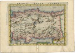
Renaissance Anatolia Map, Natolia Nuova Tavola, Italian Atlas c.1598

Renaissance Anatolia Map, Natolia Nuova Tavola, Italian Atlas c.1598

Located in Langweer, NL

Title: Renaissance Anatolia Map, Natolia Nuova Tavola, Italian Atlas c.1598 A refined and highly decorative Renaissance map of Asia Minor, titled *Natolia Nuova Tavola*, presenting ...

Category

Antique 16th Century Italian Maps

Materials

Paper

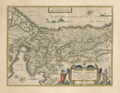
Antique Blaeu Holy Land Map – Terra Sancta Palestina, 1629

Antique Blaeu Holy Land Map – Terra Sancta Palestina, 1629

Located in Langweer, NL

Antique Blaeu Holy Land Map – Terra Sancta Palestina, 1629 A beautifully engraved and finely hand-colored early 17th-century map of the Holy Land and the biblical lands of ancient I...

Category

Antique Early 17th Century Dutch Maps

Materials

Paper

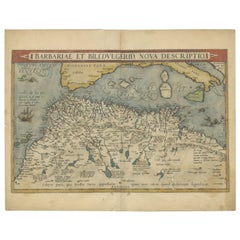
Antique Map of North Africa by Ortelius, c.1600

Antique Map of North Africa by Ortelius, c.1600

Located in Langweer, NL

Antique map titled 'Barbariae et Biledulgerid nova descriptio'. Old map of coastal North Africa and the Mediterranean. The map extends from Morocco and the Sahara to Libya and sh...

Category

Antique 17th Century Belgian Maps

Materials

Paper

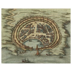
Antique Engraving with a Plan of Rhodes, Greece, 1688

Antique Engraving with a Plan of Rhodes, Greece, 1688

Located in Langweer, NL

Description: Antique map, titled: 'Rhodos.' - Plan of Rhodes, Greece. This map originates from 'Nauwkeurige Beschrijving der eilanden in de in de Archipel der Middellantsche Zee', by...

Category

Antique 1680s Maps

Materials

Paper

Tolosa (Toulouse); Leaf LXXI from Hartmann Schedel's Nuremberg Chronicle

Tolosa (Toulouse); Leaf LXXI from Hartmann Schedel's Nuremberg Chronicle

Located in Middletown, NY

Woodcut on laid paper, 8 3/8 x 9 1/8 inches (212 x 233 mm), the full sheet. In excellent condition with text and portraits of Empedocles, Sapho, Zeuxis and others on the verso, as is...

Category

15th Century and Earlier Old Masters Figurative Prints

Materials

Ink, Handmade Paper, Laid Paper, Woodcut